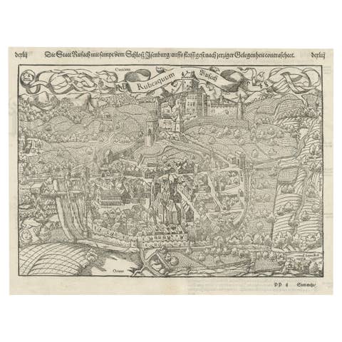
Exquisite 1600 Ortelius Map of Artois, France: A Collector’s Piece
€ 990
One of a kind: this is the sheet in the photographs. Ships from Langweer, the Netherlands.
Date
1600
Sheet size
43.5 × 55 cm (17.1 × 21.7 in)
Condition
Good
Reference
BG-13644-2
Condition
given age. General age-related toning and minor defects from handling, mainly around the borders. One old repair with tape on the bottom split but outside the platemark. Please study scans carefully.
About this sheet
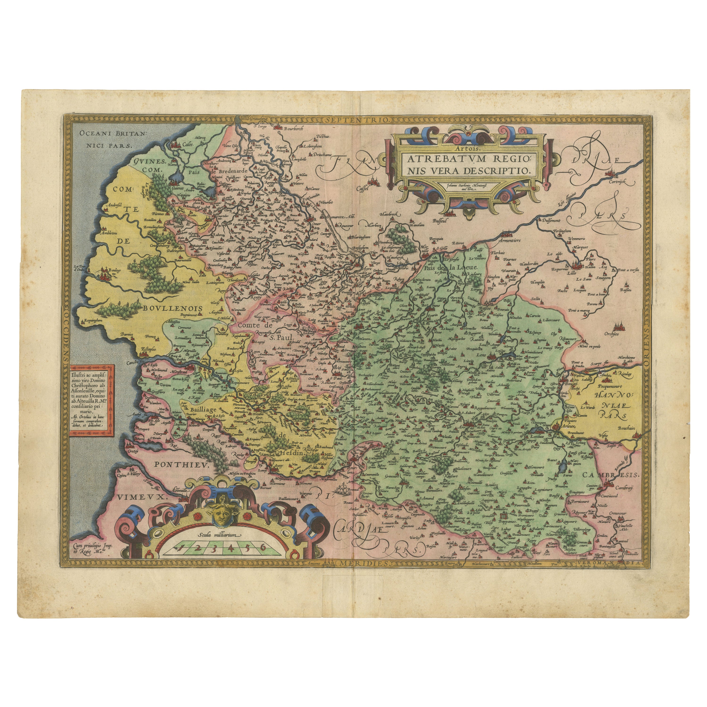
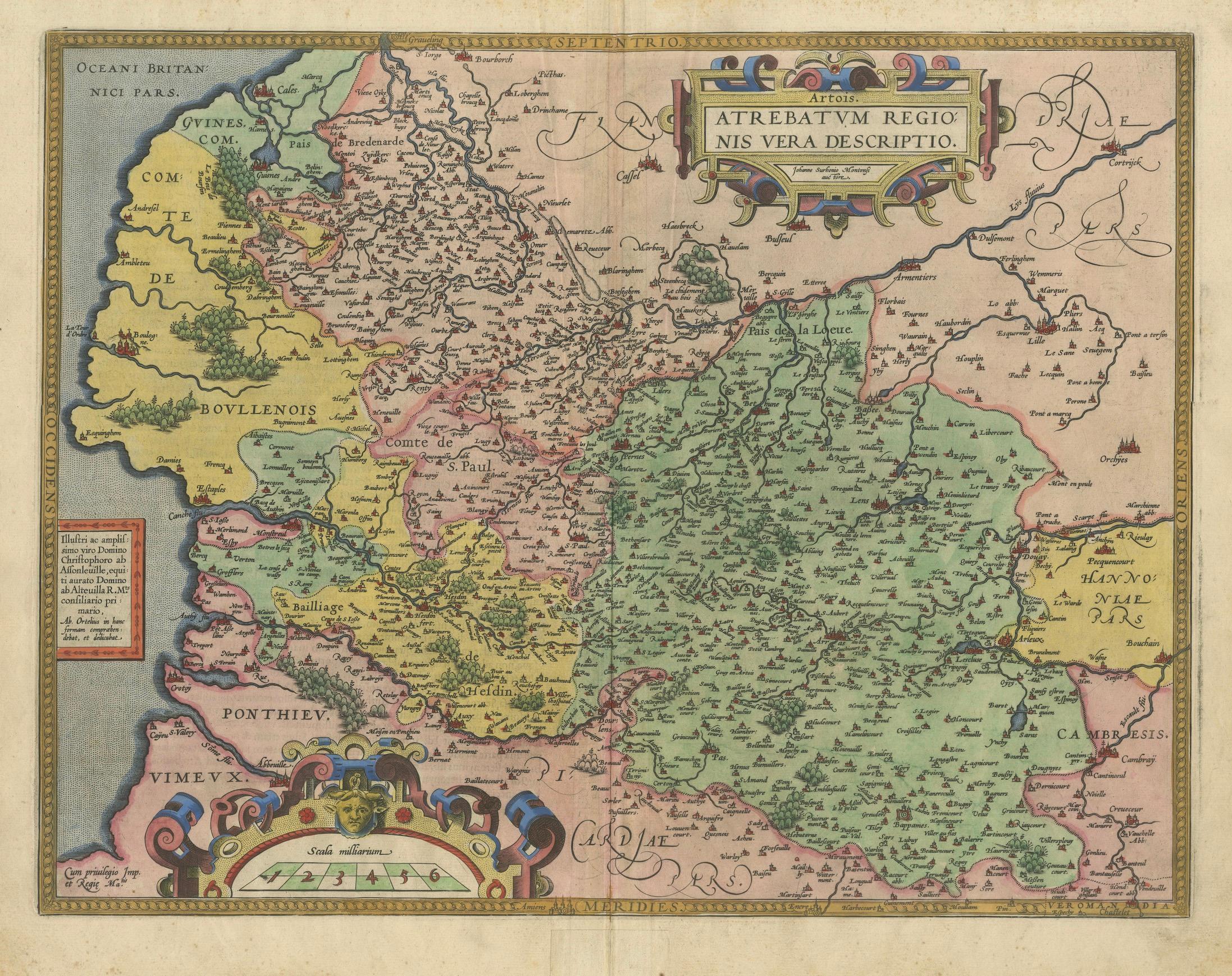
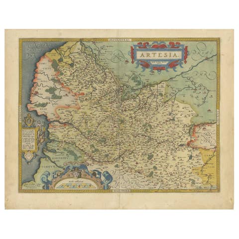
Exquisite 1600 Ortelius Map of Artois, France: A Collector’s Piece with Rich Historical Detail
Description of the Map:
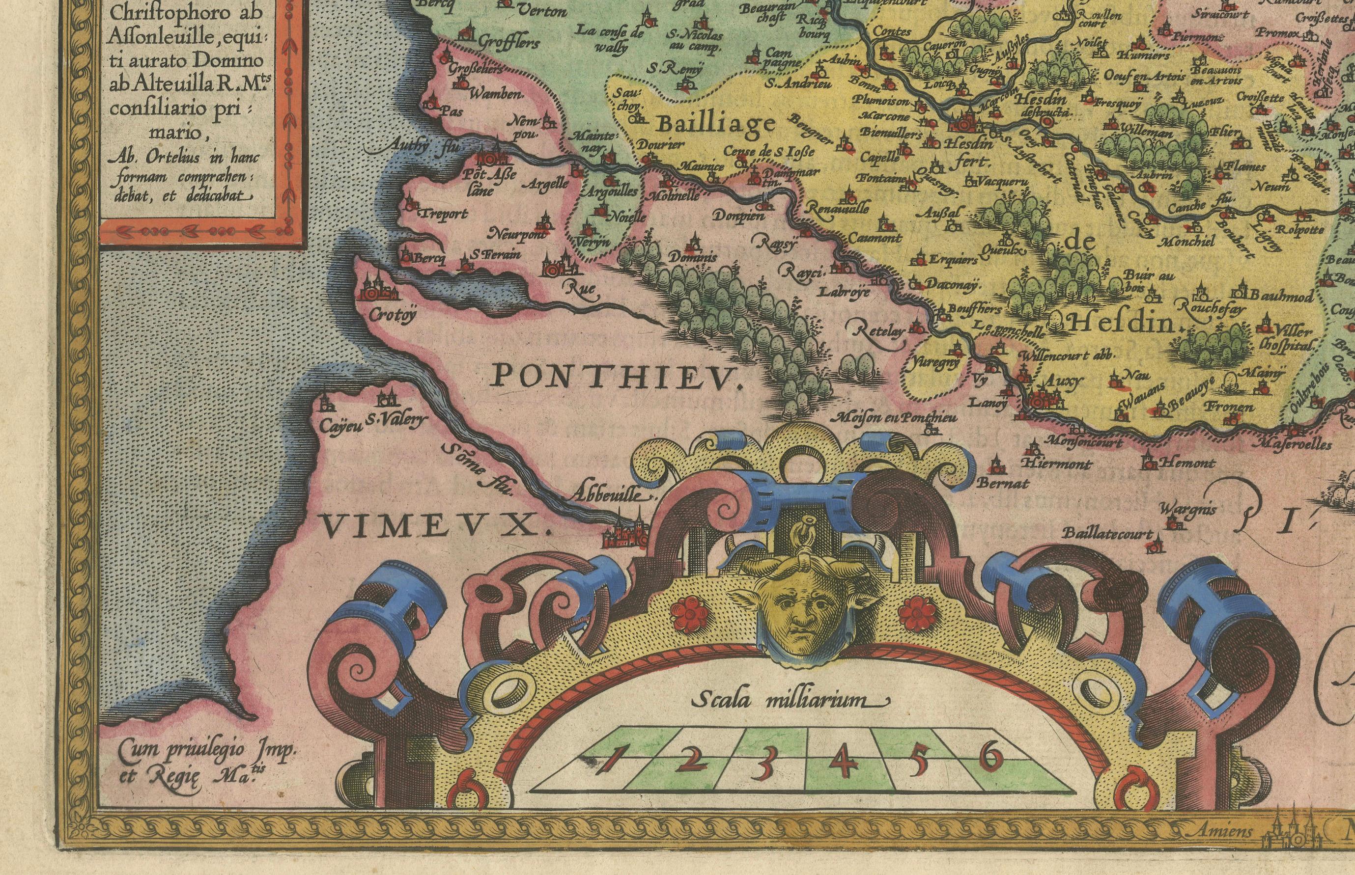
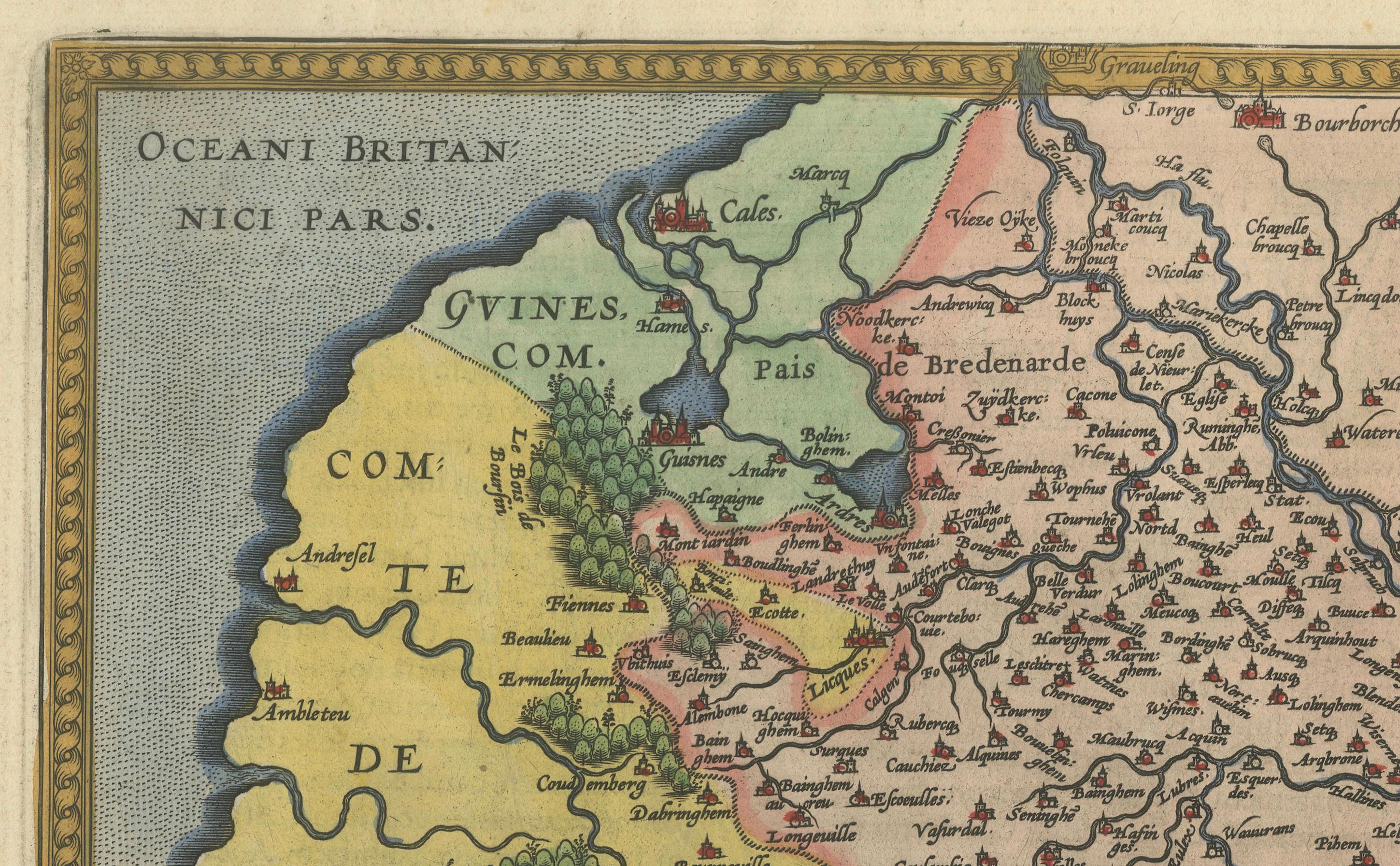
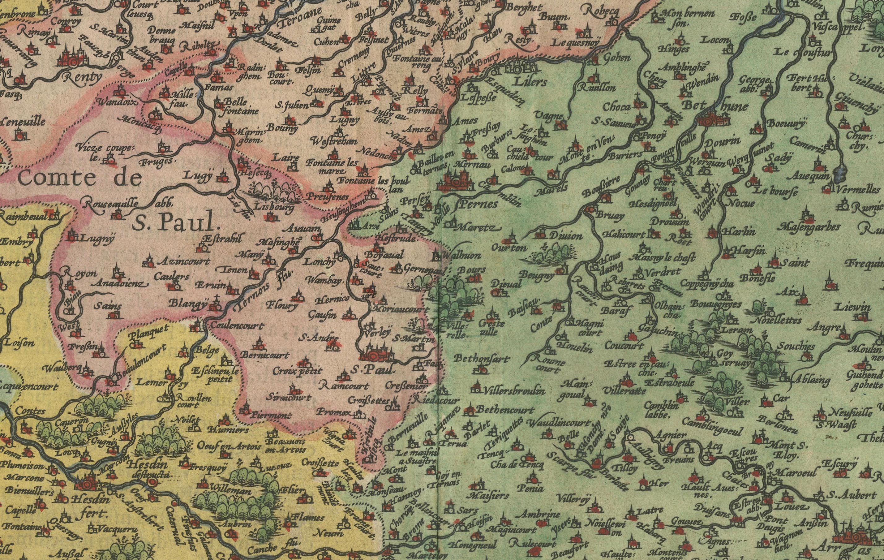
This map, titled "Atrebatum Regionis Vera Descriptio," created by Abraham Ortelius around 1600, depicts the region of Artois in northern France. It is a hand-colored copperplate engraving and shows detailed geographical features such as towns, rivers, and political boundaries of the time. Notably, it also includes a portion of the English Channel on its left-hand border. The map features an ornate title cartouche and a scale bar, both hallmarks of Ortelius's style.
Abraham Ortelius was not only a renowned cartographer but also a multifaceted scholar and entrepreneur, fluent in multiple languages and well-traveled across Europe. His major achievement was standardizing the format of maps to be used in atlases, beginning with his seminal work, "Theatrum Orbis Terrarum." His contributions significantly influenced the Dutch Golden Age of cartography.
Year of Publication: Circa 1600.
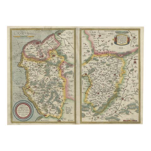
Collectors and enthusiasts of historical maps might seek this particular map for its depiction of Artois, a region with rich history and significance, especially during the period of its publication. The meticulous detail and the inclusion of surrounding regions like Ponthieu and Cambresis also add to its value.
Condition of the Map:
The map is described as being in good condition despite showing signs of age toning, tide marks, and discoloration along the issued center fold, as well as light foxing. These features suggest it has been preserved reasonably well but has experienced natural aging and exposure to environmental factors over time. The presence of these age-related marks adds a certain historical character while indicating that the map has been handled and possibly displayed over the centuries.