About this sheet
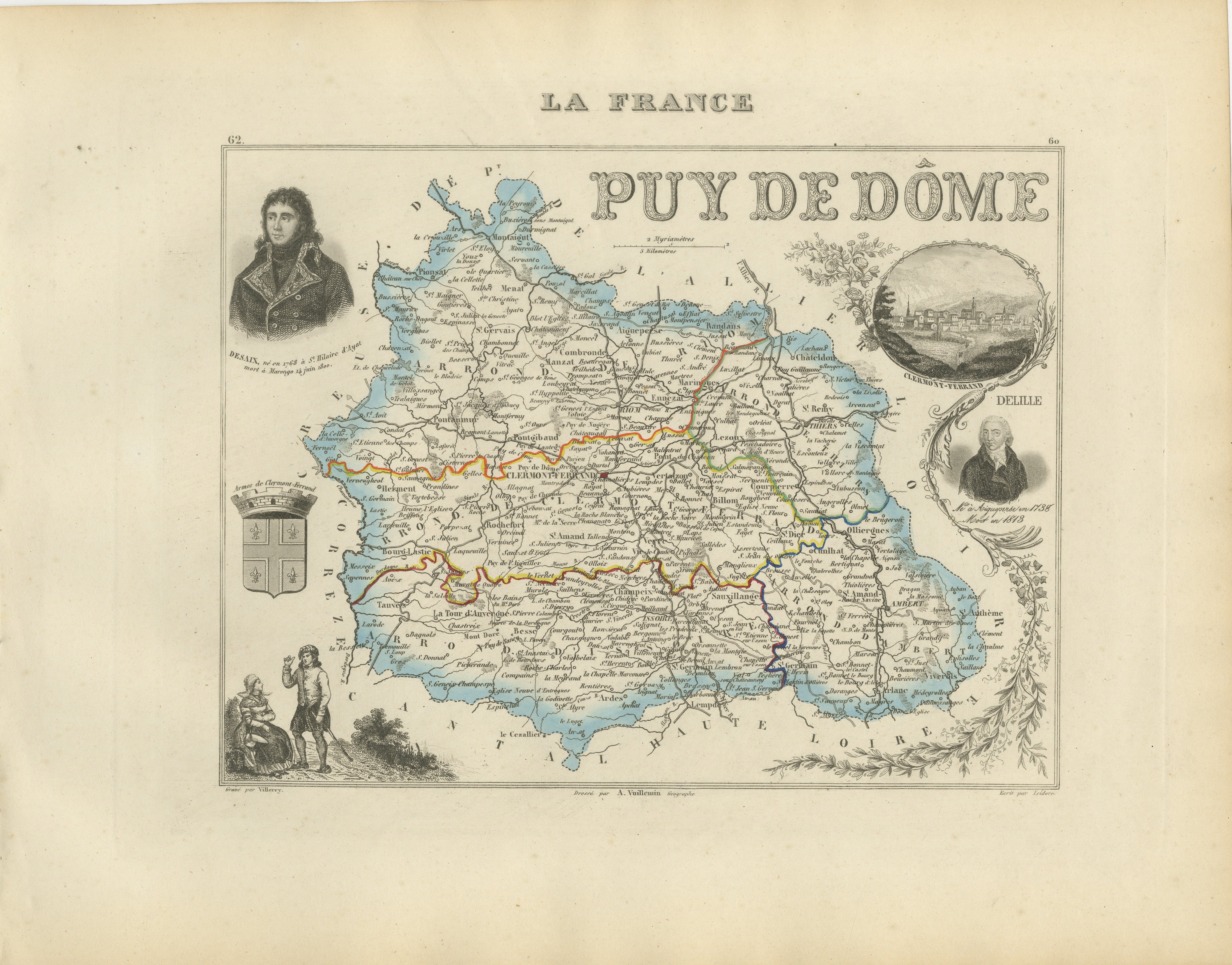
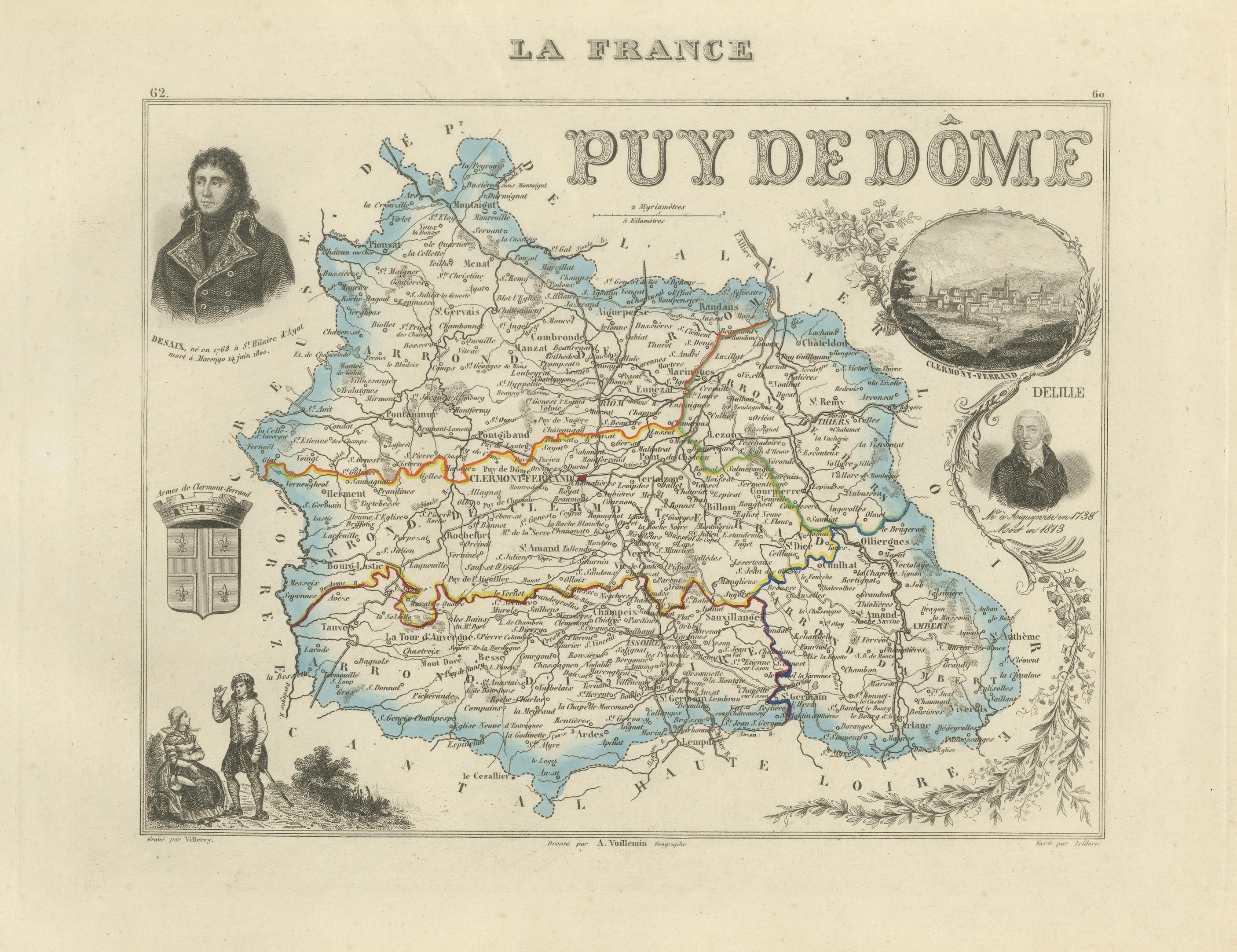
Original antique map of the French department of Puy-de-Dôme, published in Paris around 1850 by the distinguished French cartographer Alexandre Vuillemin.
The map was issued as part of Vuillemin’s decorative atlas La France Illustrée, celebrated for combining detailed regional cartography with portraits, heraldry, local history and picturesque engraved views.
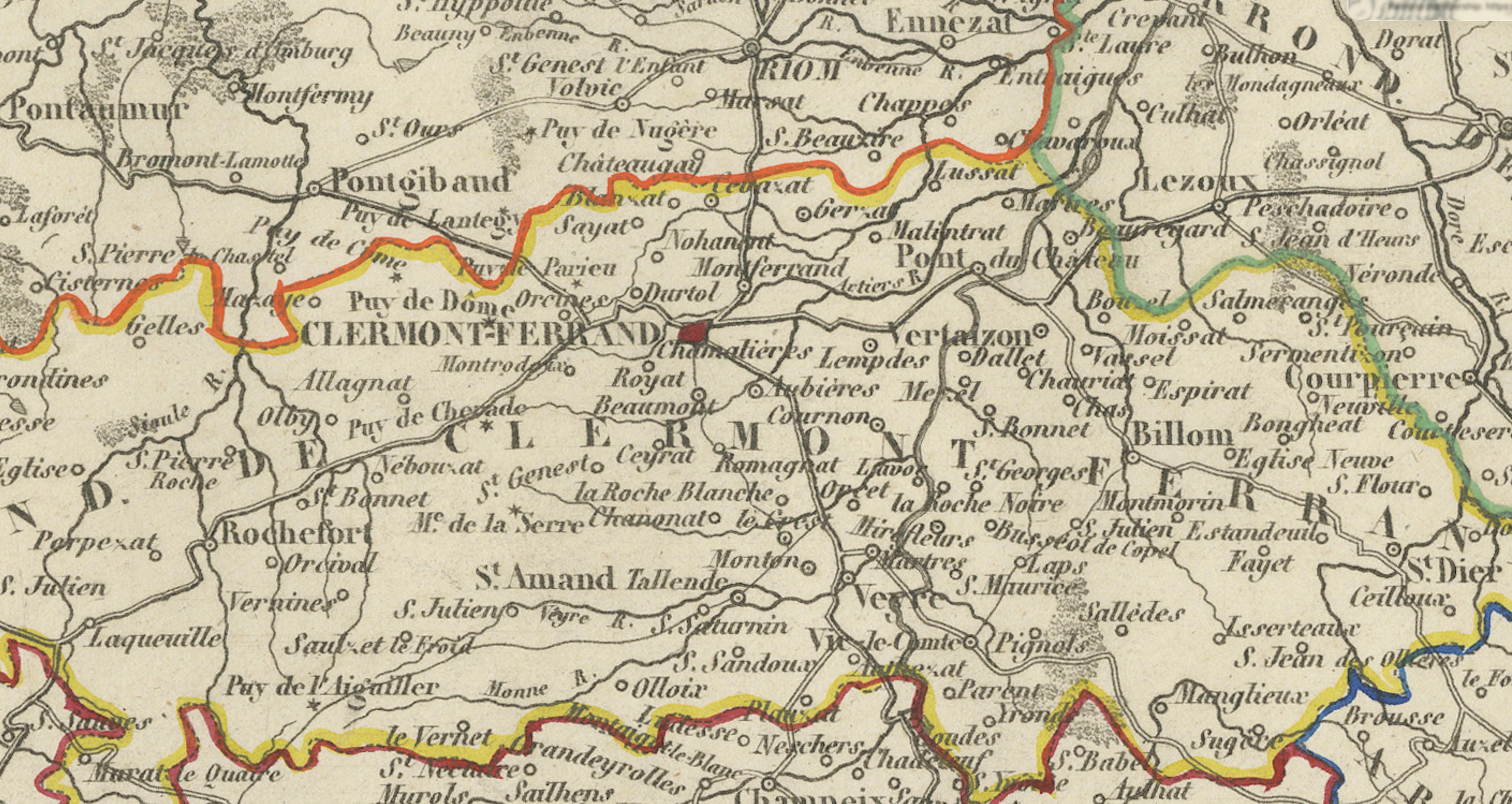
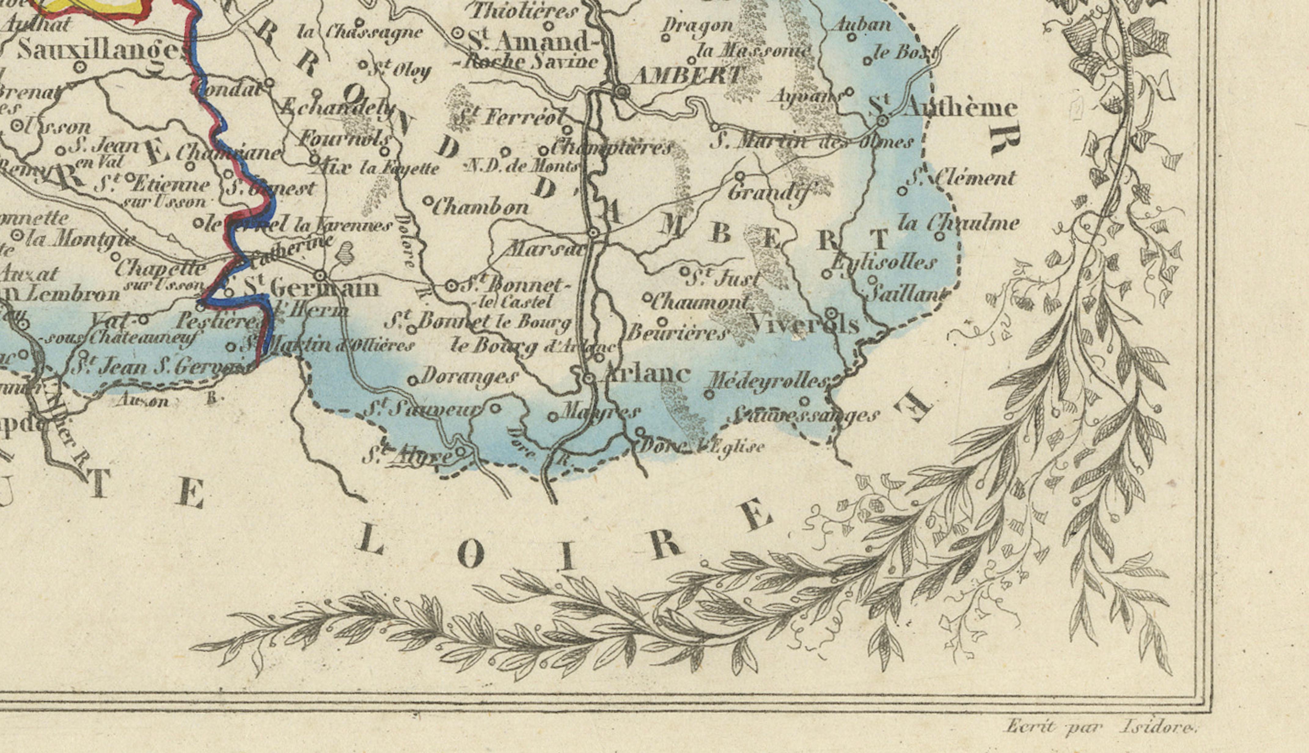
Numbered 62, the map depicts the department’s towns, villages, roads, rivers and administrative divisions. Original hand colouring distinguishes the departmental borders and principal routes.
Prominent places shown include Clermont-Ferrand, Riom, Thiers, Issoire, Ambert, Billom, Volvic, Royat, Pontgibaud, Aigueperse, Courpière, Olliergues, Saint-Nectaire, Besse, Mont-Dore, La Tour-d’Auvergne, Bourg-Lastic, Arlanc, Cunlhat and numerous smaller communities throughout the historic Auvergne region.
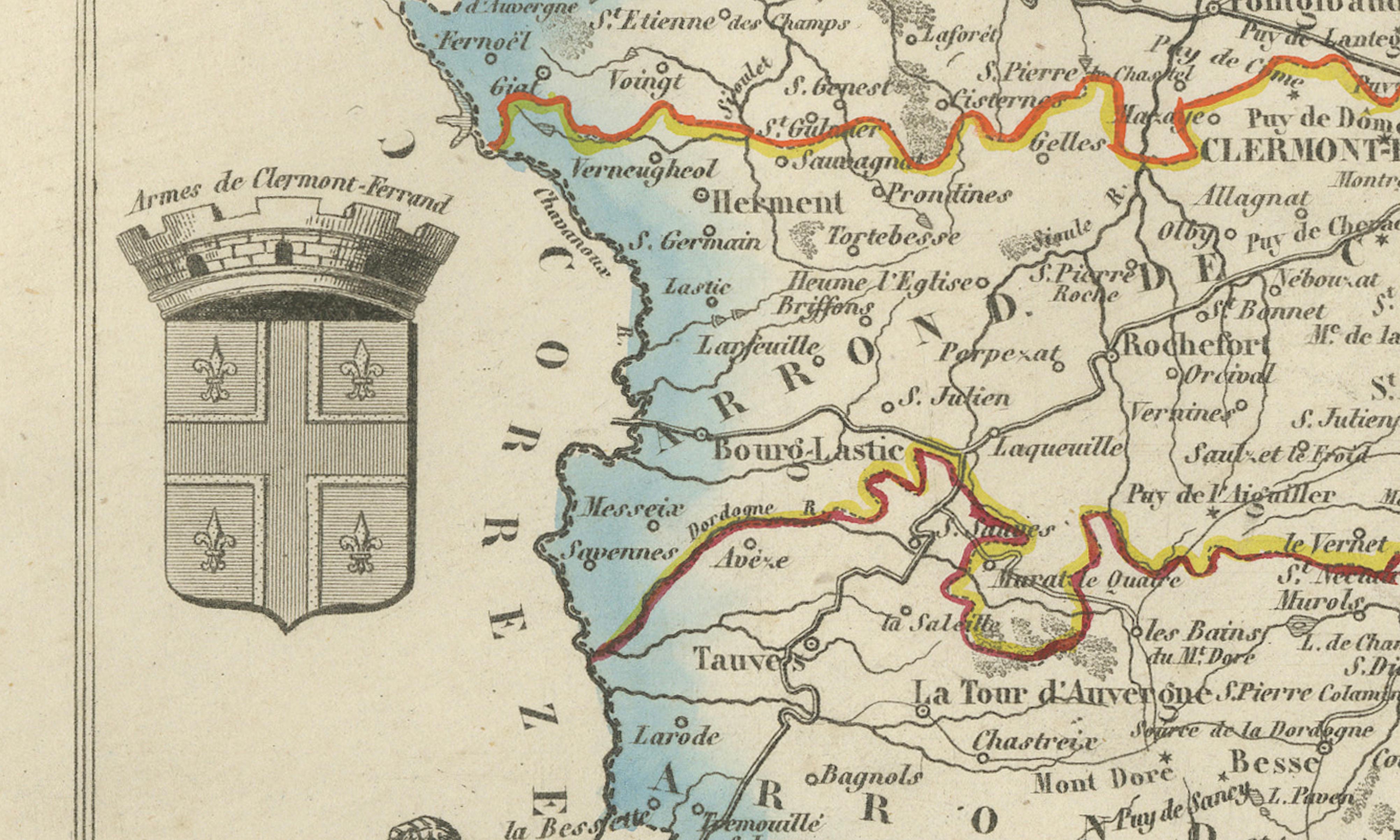
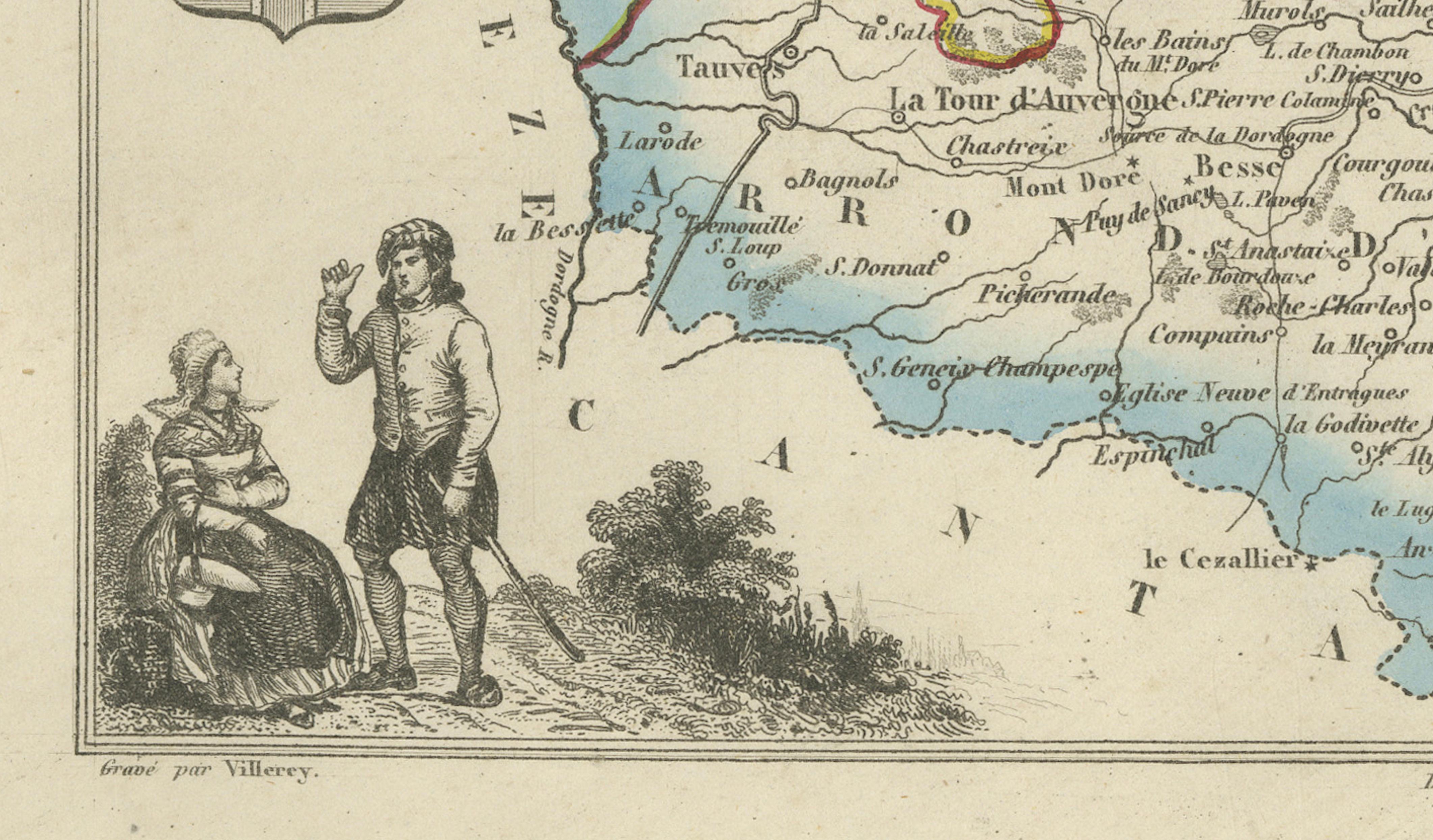
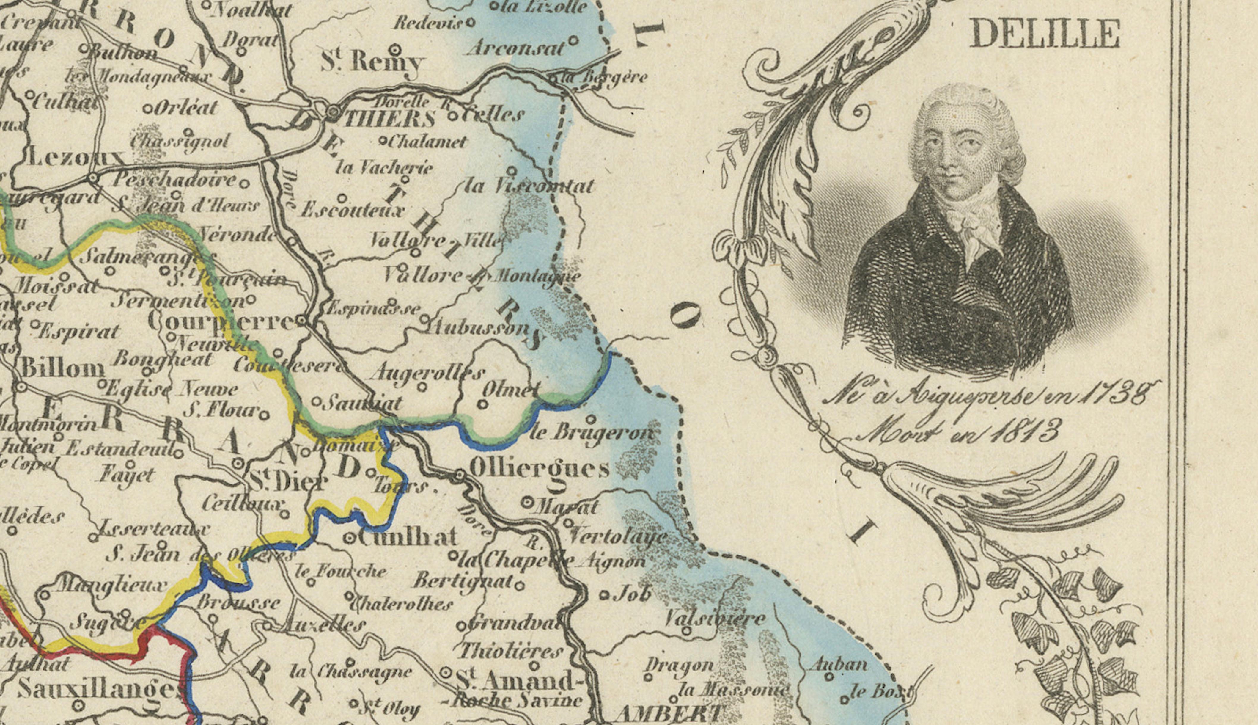
The decorative composition includes a portrait of General Louis Desaix, a leading French military commander associated with the department, and a portrait of Jacques Delille, the poet and translator born in Clermont-Ferrand in 1738. Further embellishments include a panoramic view of Clermont-Ferrand, the historic arms of Auvergne and a charming scene of traditional regional figures.
Puy-de-Dôme is renowned for its volcanic landscape, including the Chaîne des Puys, the Puy de Dôme and the Massif du Sancy. The region is also celebrated for its spa towns, Romanesque churches, mountain scenery and historic centres such as Clermont-Ferrand, Riom, Thiers and Issoire.
The department has a rich gastronomic heritage. Important local products include Saint-Nectaire, Fourme d’Ambert and Bleu d’Auvergne cheeses. The Côtes d’Auvergne wine appellation produces red, white and rosé wines from volcanic slopes, principally using Gamay, Pinot Noir and Chardonnay. Recognised wine areas include Boudes, Chanturgue, Châteaugay, Corent and Madargue.
An attractive historical map for collectors of French cartography, Auvergne heritage, volcanic landscapes, wine regions and nineteenth-century decorative engravings.
This is an original antique engraving and not a modern reproduction. It is offered unframed. Any framed images are shown for presentation and interior inspiration only.
Technique: Engraving with original hand colouring
Maker: Alexandre Vuillemin
Place of Publication: Paris, France
Date: Circa 1850
Source: La France Illustrée
Department: Puy-de-Dôme, plate number 62
Region: Historic Auvergne, central France
Condition:
Good antique condition with general age-related toning, scattered foxing, small marks and light handling creases. Minor wear is visible around the margins and edges. The original hand-coloured areas and boundary lines remain attractive and clearly visible. Wear is consistent with age and use. Please examine the images carefully, as they form an important part of the condition description.
Keywords:
Alexandre Vuillemin, antique Puy-de-Dôme map, Puy de Dome France map, Auvergne antique map, Auvergne-Rhône-Alpes map, Clermont-Ferrand antique map, Clermont Ferrand wall art, Riom map, Thiers France map, Issoire map, Ambert map, Billom map, Volvic map, Volvic mineral water, Royat spa, Pontgibaud map, Aigueperse map, Courpière map, Olliergues map, Saint-Nectaire village, Besse-et-Saint-Anastaise, Mont-Dore map, Le Mont-Dore spa, La Bourboule, La Tour-d’Auvergne, Bourg-Lastic, Arlanc, Cunlhat, Chaîne des Puys, Puy de Dôme volcano, Puy de Sancy, Massif du Sancy, Auvergne volcanoes, Parc des Volcans d’Auvergne, Vulcania, Limagne plain, Michelin Clermont-Ferrand, Clermont Cathedral, Notre-Dame-du-Port, Romanesque Auvergne, General Desaix, Louis Desaix, Jacques Delille, Clermont-Ferrand view, arms of Auvergne, French departmental map, La France Illustrée, decorative French map, nineteenth-century cartography, antique French engraving, original hand colouring, Côtes d’Auvergne wine, Boudes wine, Chanturgue wine, Châteaugay wine, Corent wine, Madargue wine, Gamay, Pinot Noir, Chardonnay, volcanic wine, Saint-Nectaire cheese, Fourme d’Ambert, Bleu d’Auvergne, Cantal cheese, truffade, aligot, potée auvergnate, Auvergne gastronomy, French wine decor, vineyard wall art, mountain house decor, chalet interior, Francophile gift, library wall art, office decor, collector’s map, original antique map