About this sheet
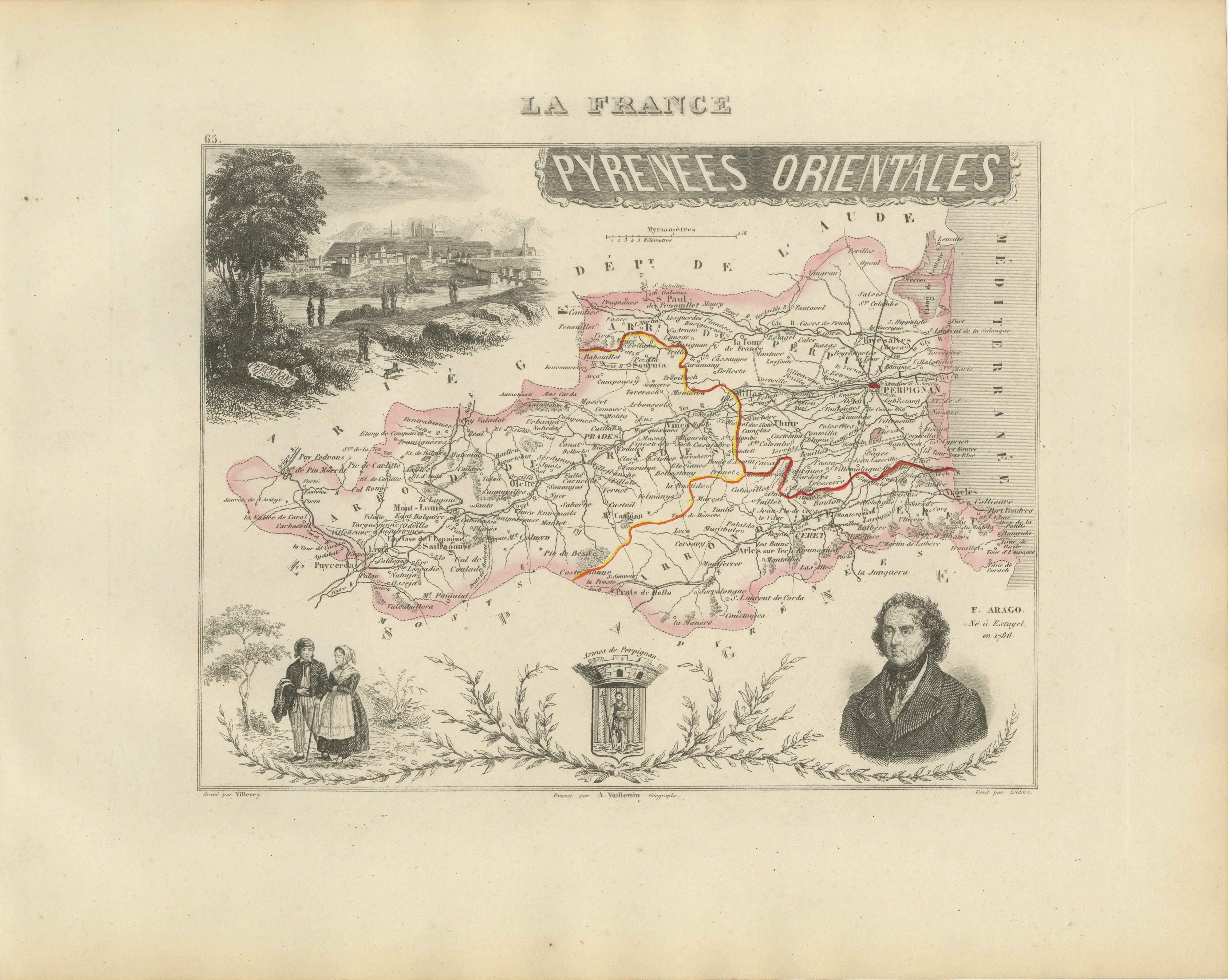
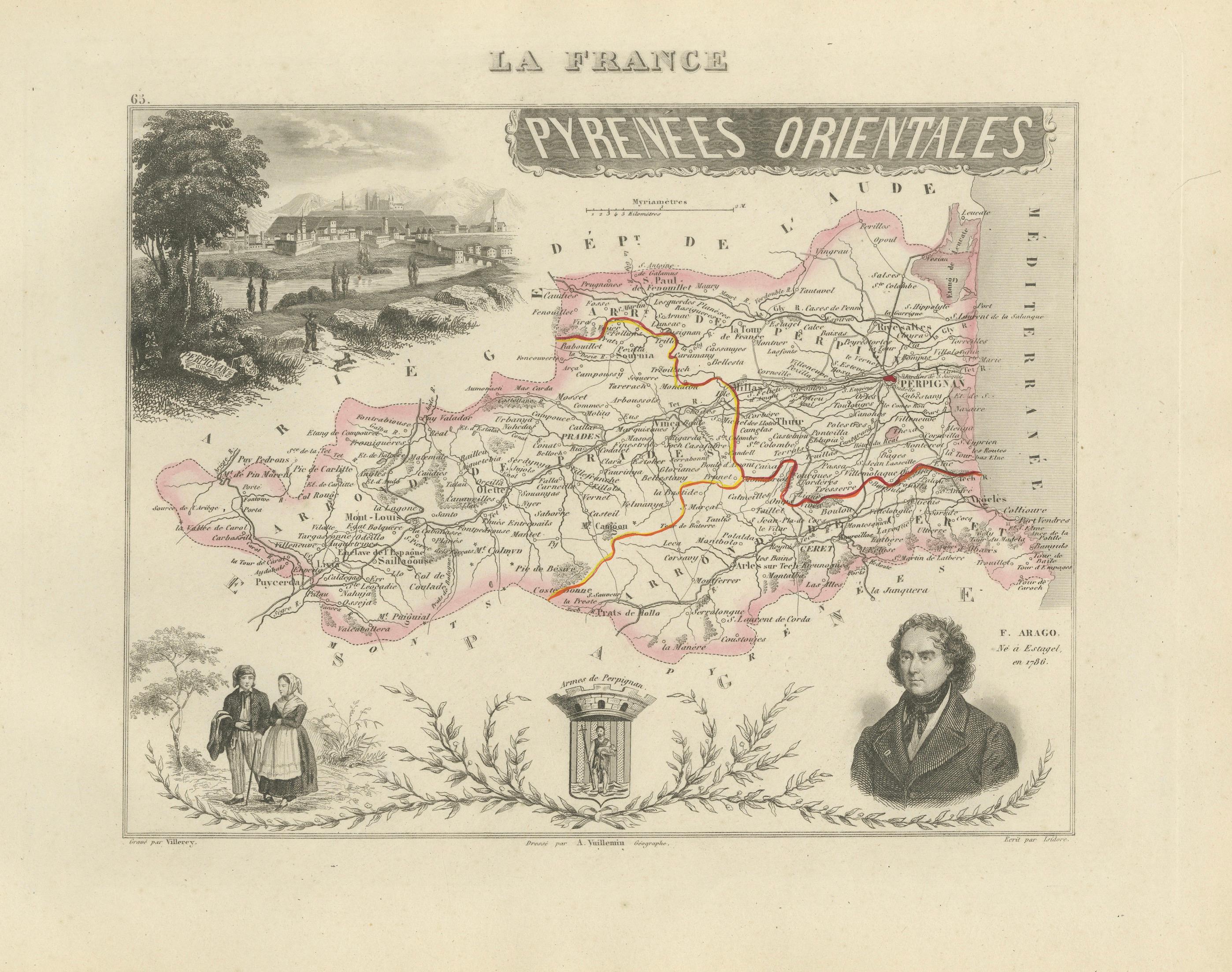
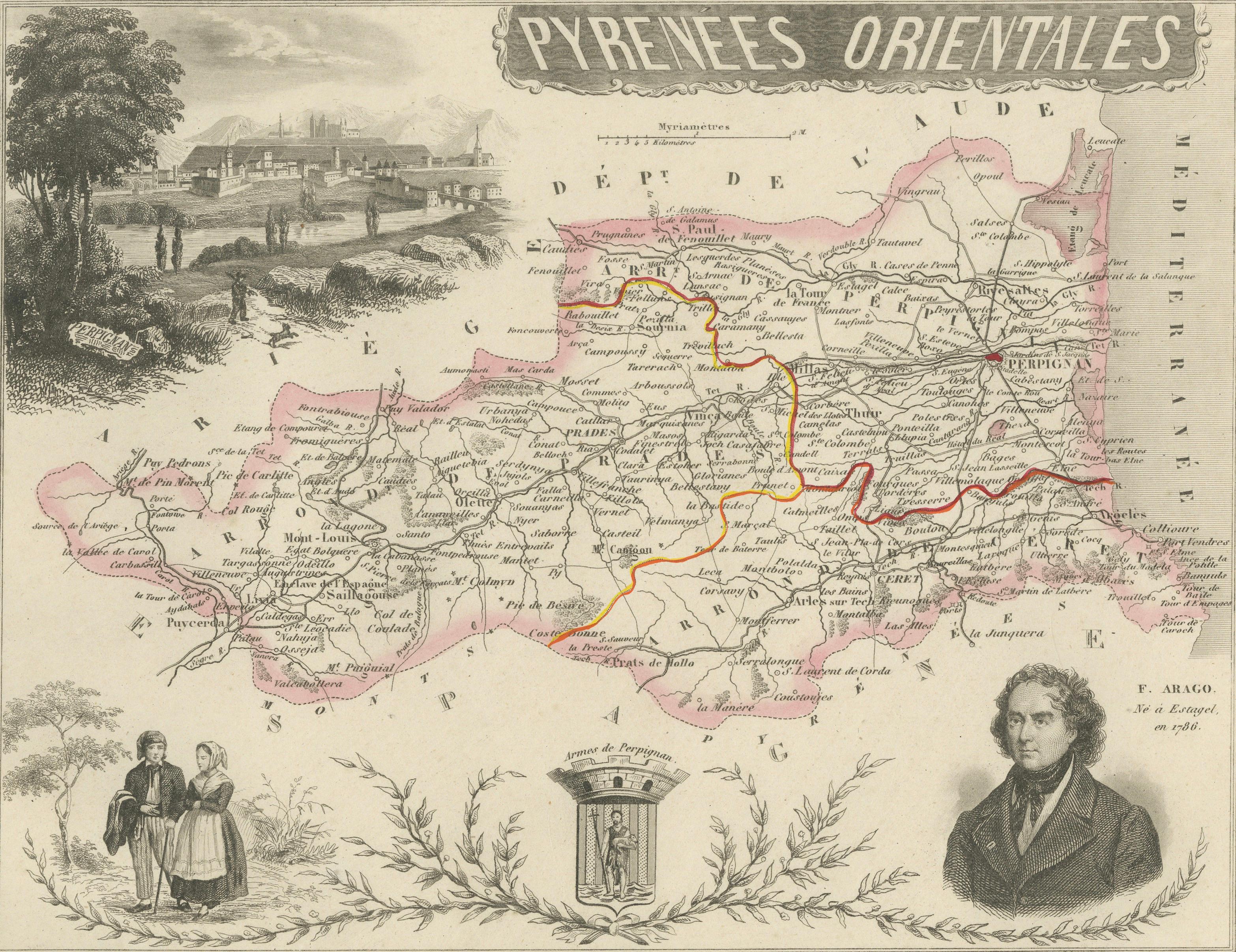
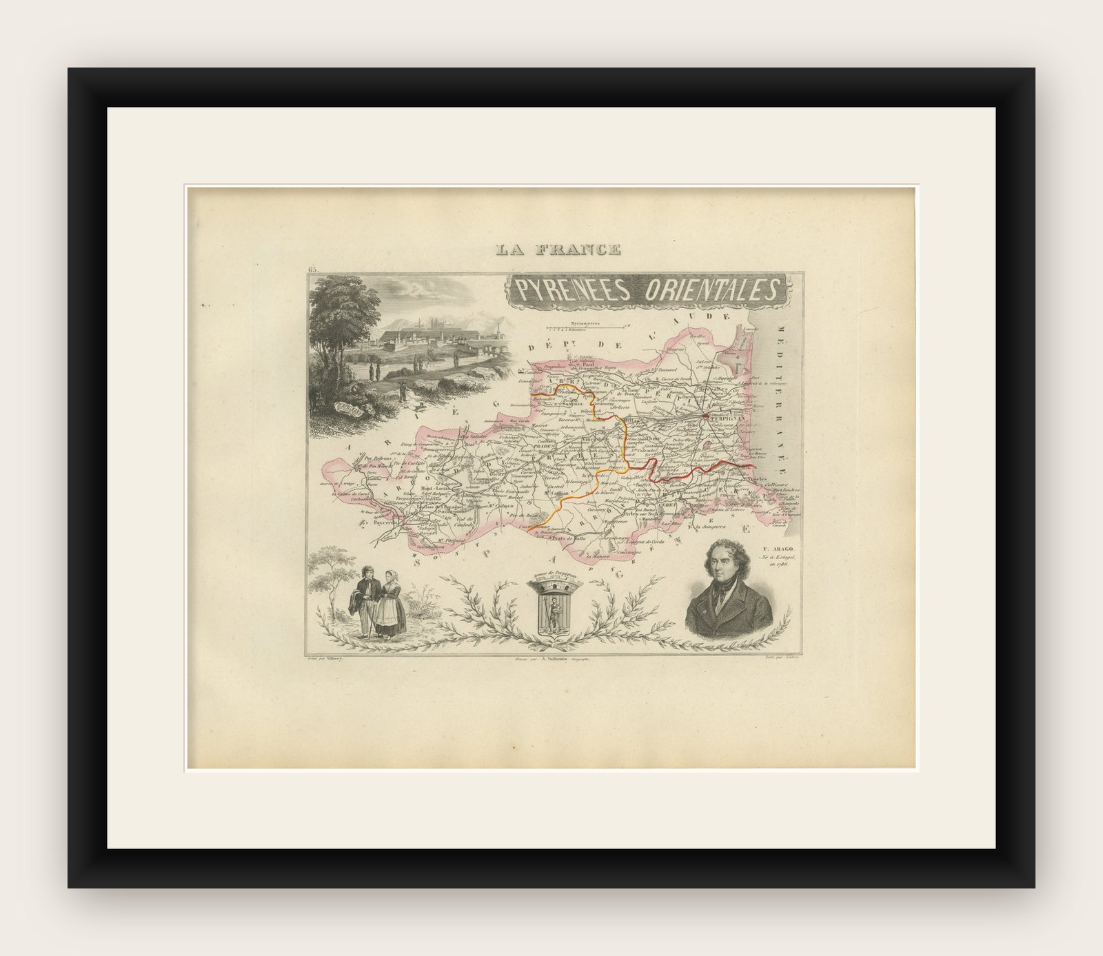
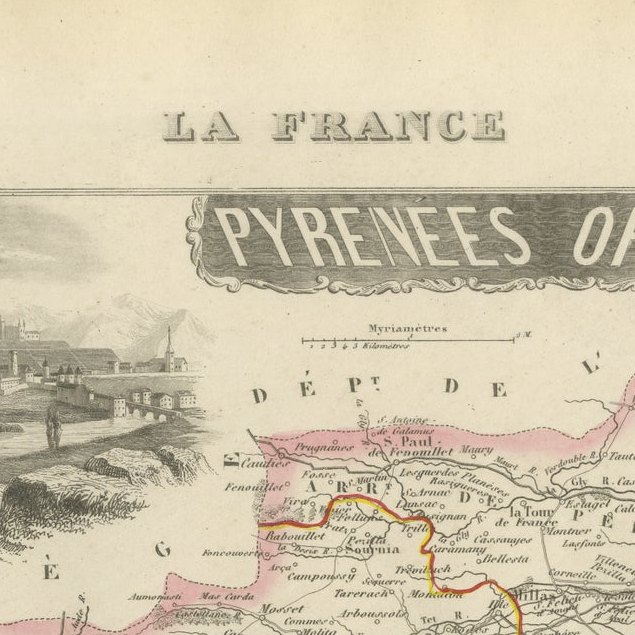
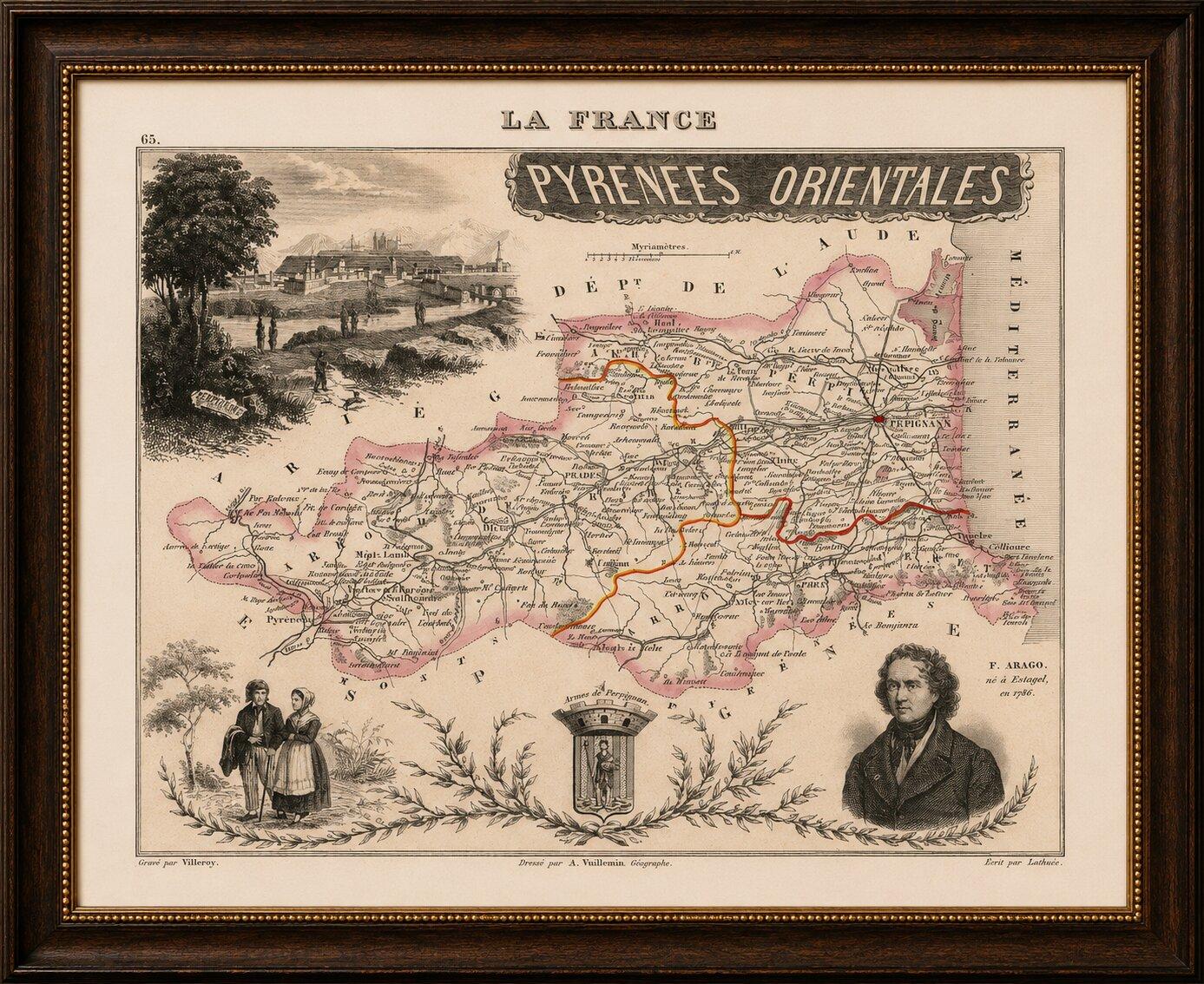
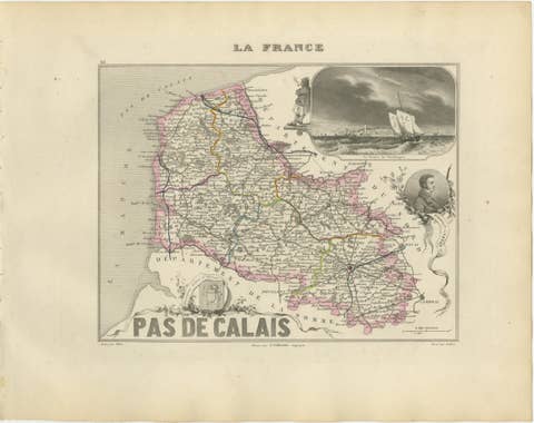
Original antique decorative map of the French department of Pyrénées-Orientales, published in Paris around 1850 by the distinguished cartographer Alexandre Vuillemin.
The map was issued as part of Vuillemin’s acclaimed atlas La France Illustrée, celebrated for combining detailed regional cartography with portraits, heraldry, local costumes and picturesque landscape views.
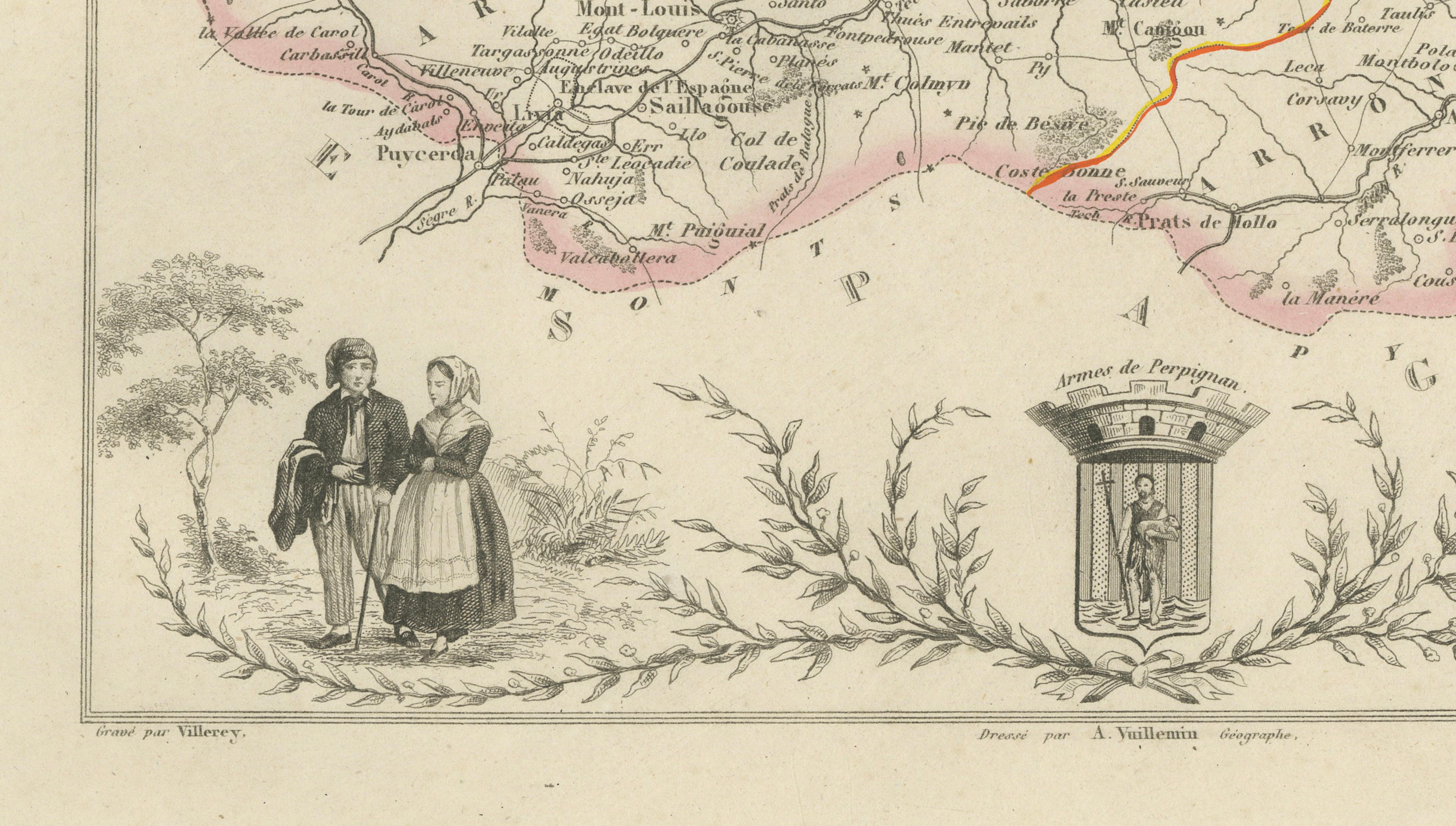
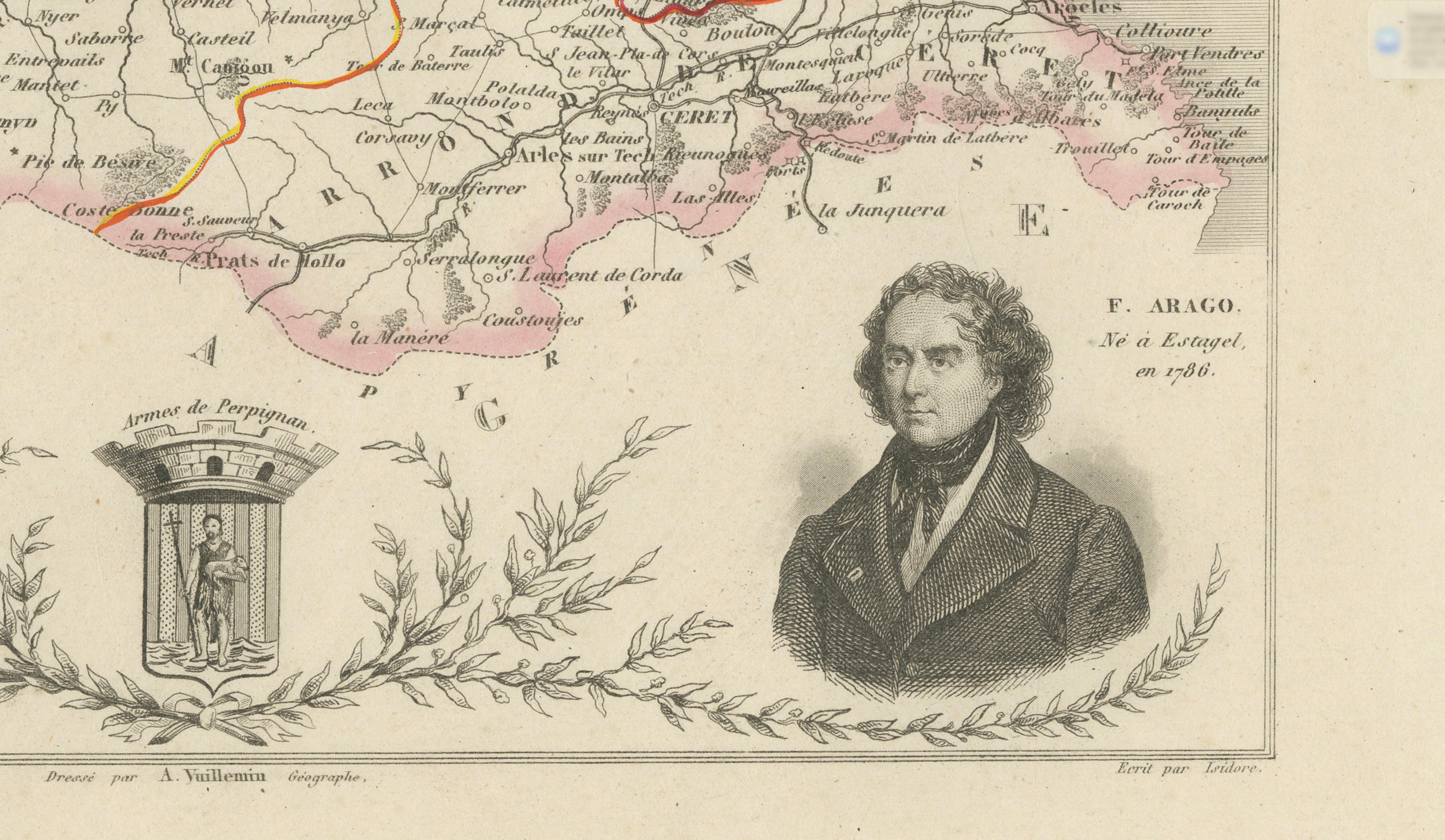
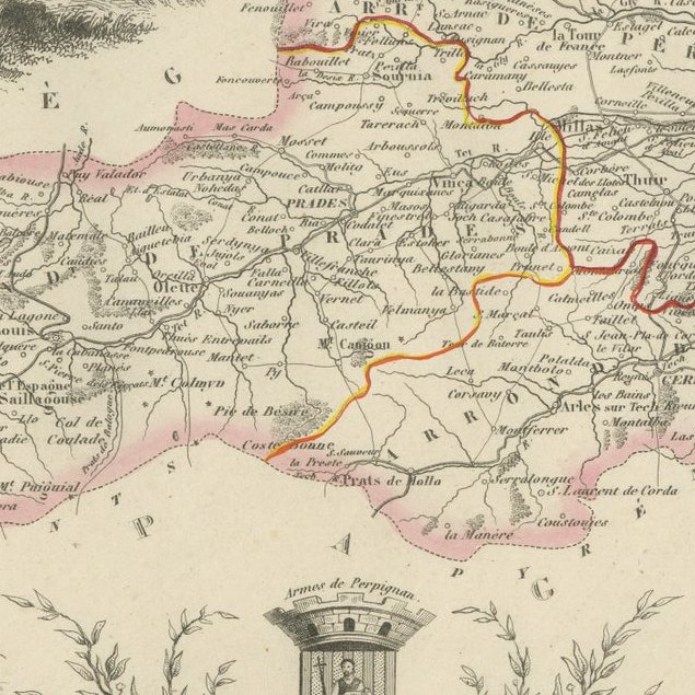
Numbered 65, the map depicts the department’s towns, villages, roads, rivers and administrative divisions. Selected boundaries and principal routes are enhanced with attractive original hand coloring.
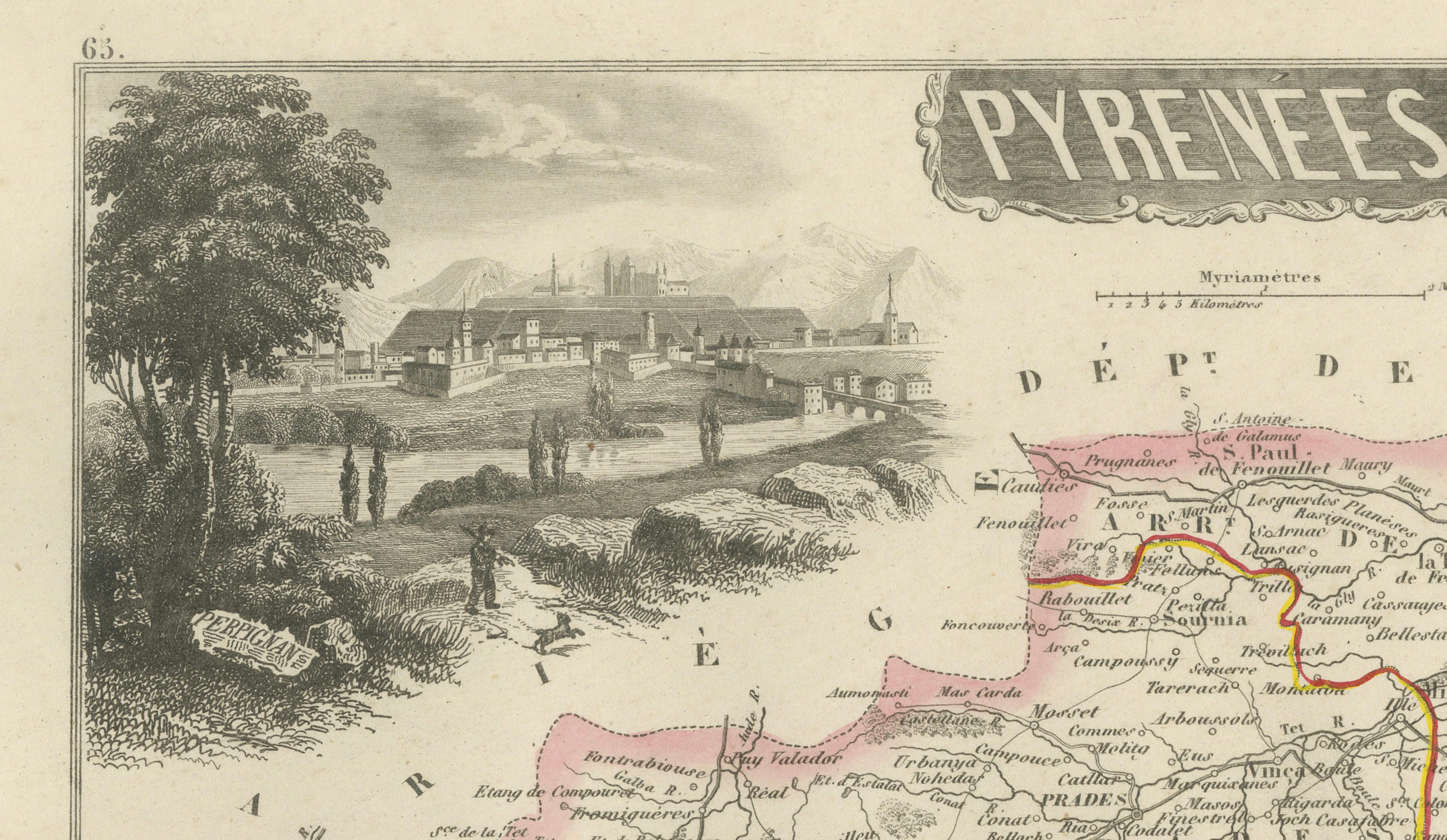
The decorative composition includes a portrait of the celebrated scientist and statesman François Arago, identified on the map as having been born at Estagel in 1786. Further embellishments include the historic arms of Perpignan, a panoramic view of Perpignan and a pair of figures wearing traditional regional costume.
Pyrénées-Orientales occupies a dramatic landscape between the Mediterranean Sea, the Pyrenees and the Spanish border. Historically associated with Roussillon and French Catalonia, the region is renowned for Perpignan, the Côte Vermeille, Collioure, the Canigou mountain and its distinctive Catalan cultural heritage.
The department is also one of France’s important wine-producing areas. Notable regional appellations include Banyuls, Collioure, Rivesaltes, Muscat de Rivesaltes, Maury and Côtes du Roussillon. The steep vineyards around Banyuls and Collioure extend across the Mediterranean-facing Côte Vermeille between sea and mountain.
An attractive historical map for collectors of French cartography, Catalan heritage, Mediterranean landscapes, Pyrenean history and nineteenth-century decorative engravings.
This is an original antique engraving and not a modern reproduction. It is offered unframed. Any framed images are shown for presentation and interior inspiration only.
Place of Publication: Paris, France
Source: La France Illustrée
Department: Pyrénées-Orientales, plate number 65
Region: Historic Roussillon and French Catalonia
Good antique condition with general age-related toning, scattered foxing, small stains and minor handling marks. Light wear is visible around the margins and edges. The original hand-colored boundaries remain attractive and clearly visible. Wear is consistent with age and use. Please examine the images carefully, as they form an important part of the condition description.