About this sheet
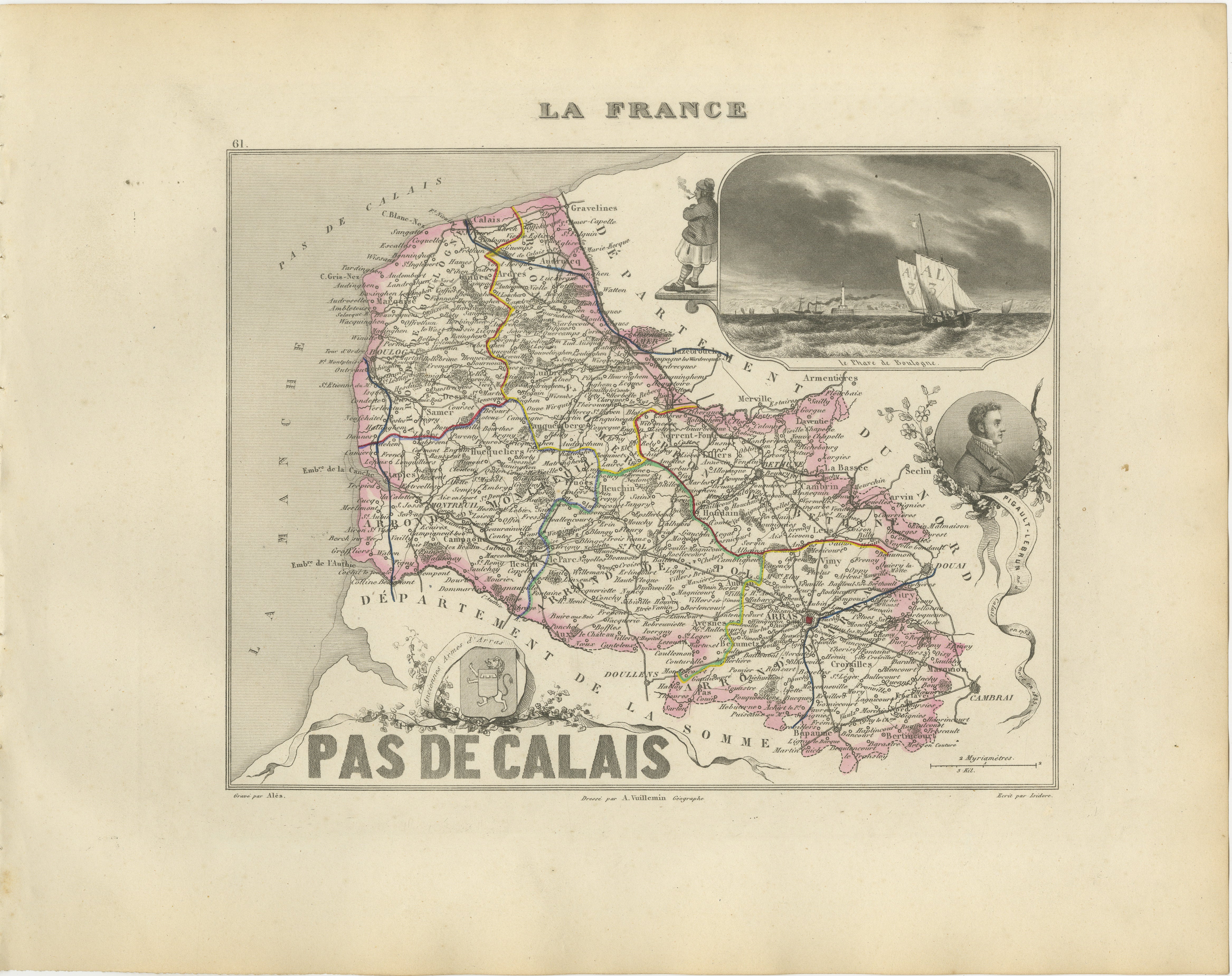
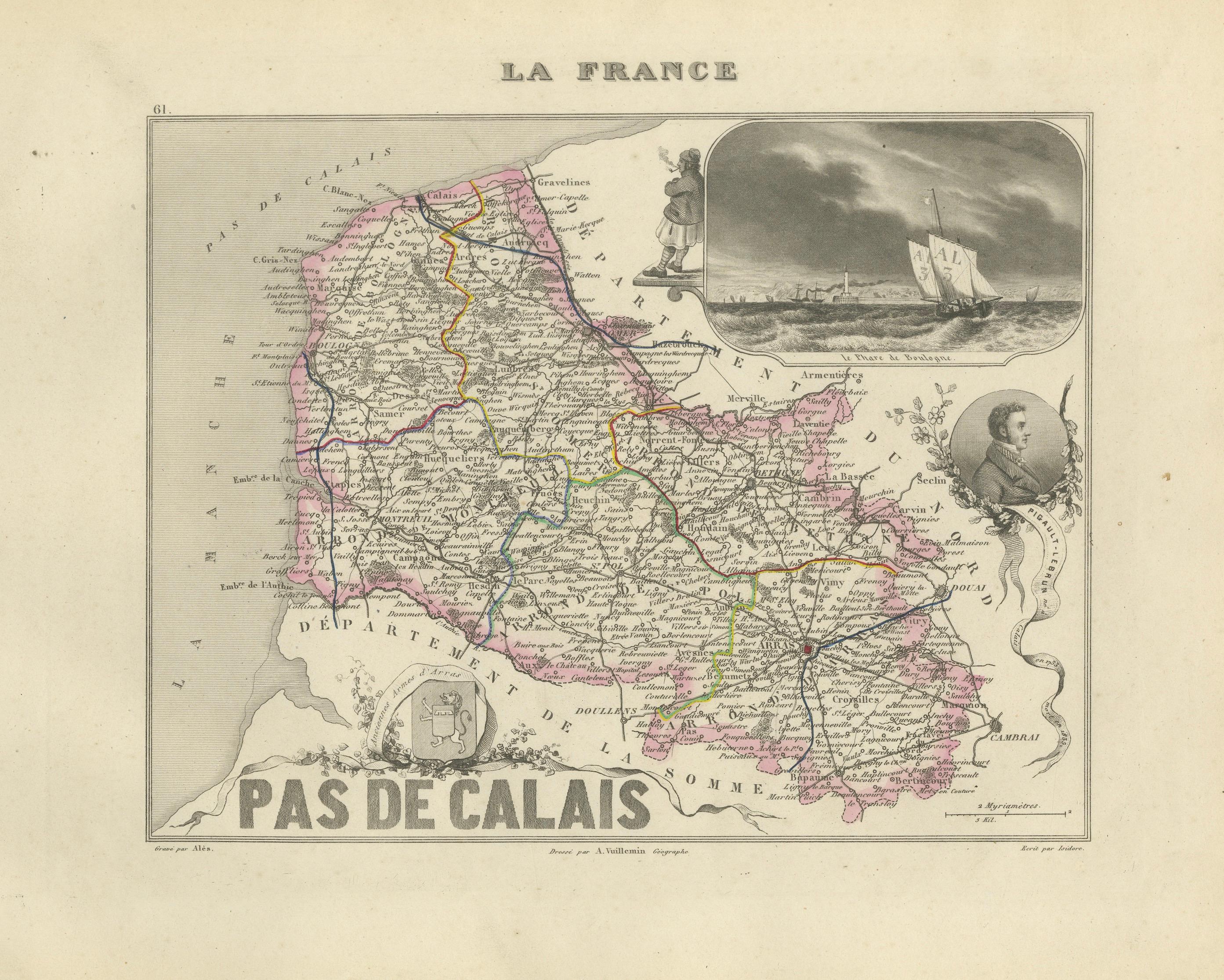
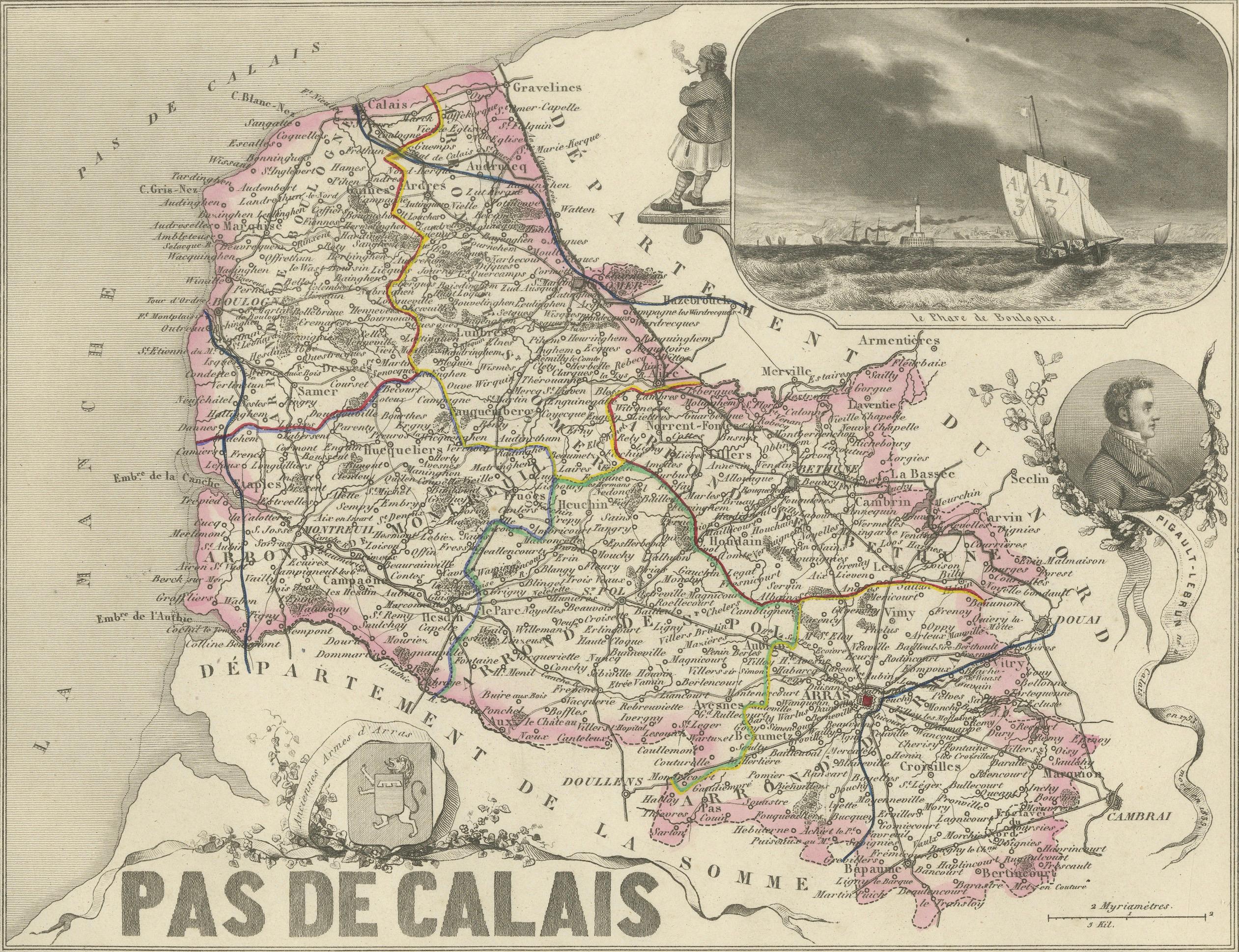
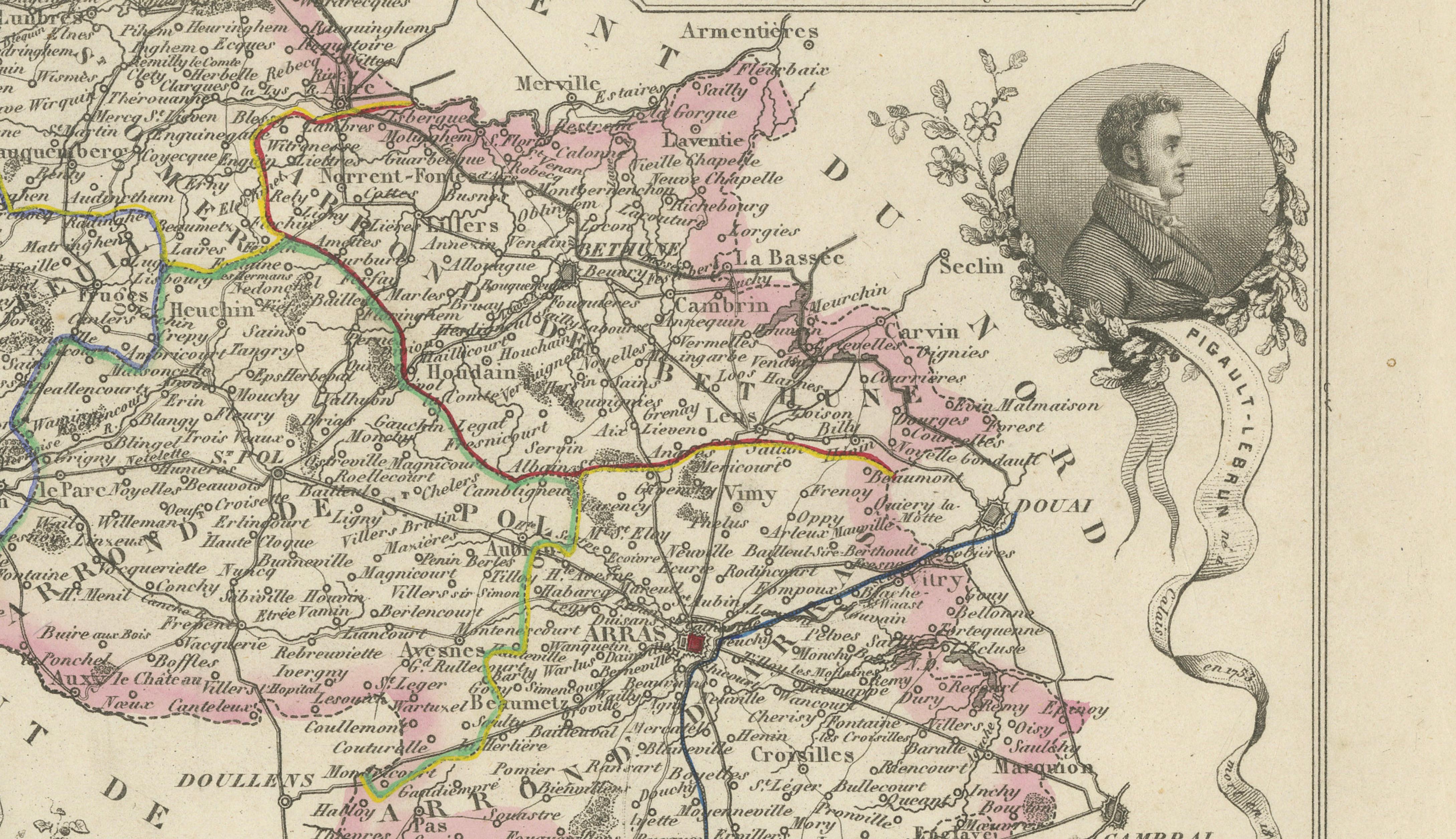
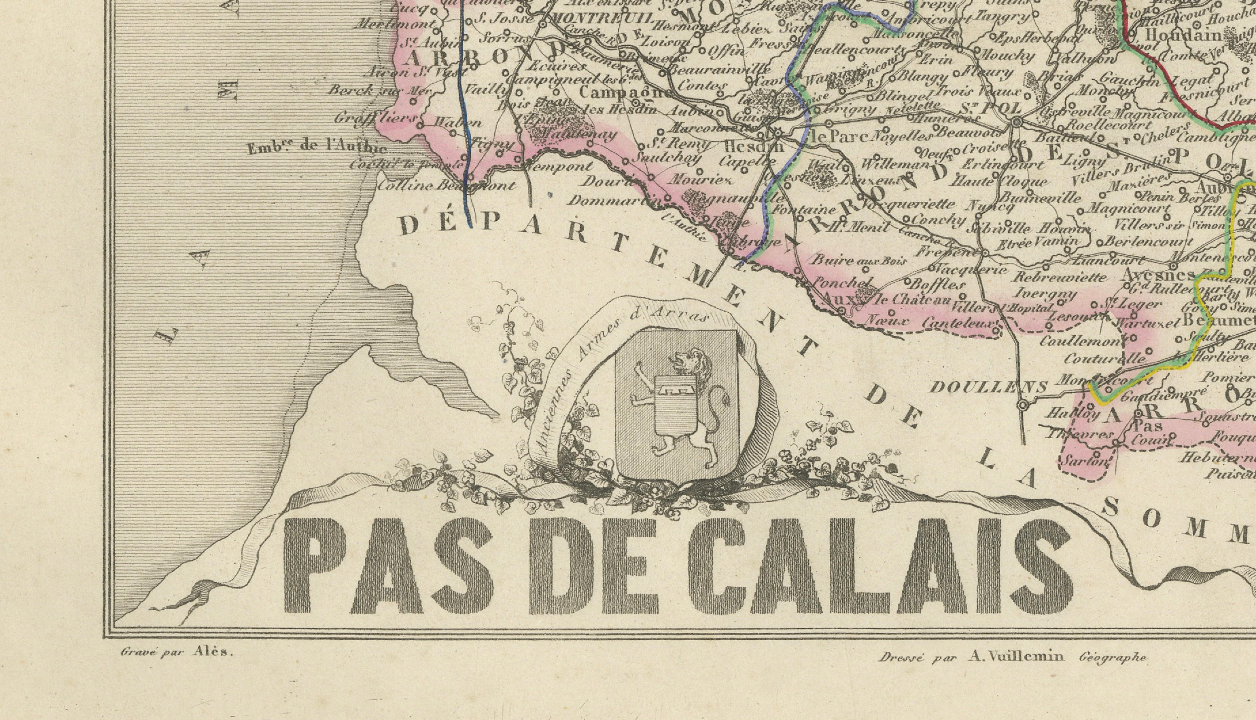
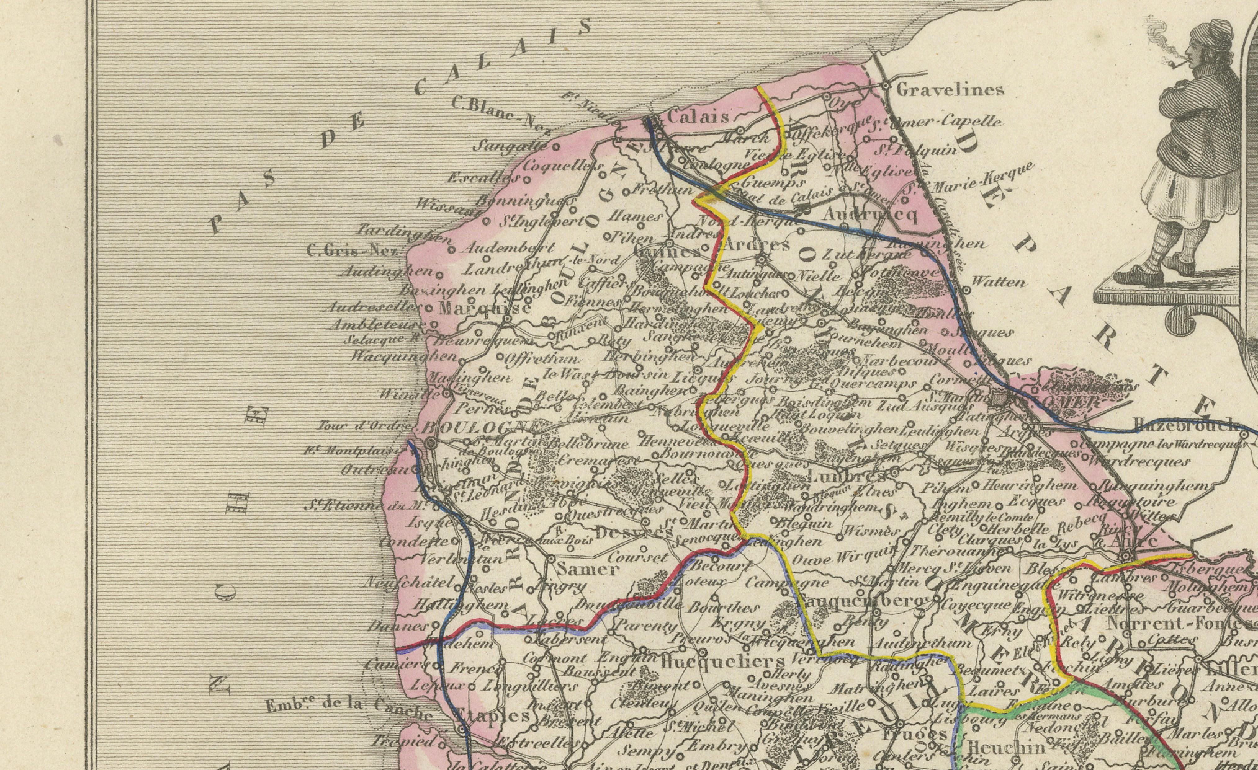
Original antique map of the French department of Pas-de-Calais, published in Paris around 1850 by the distinguished French cartographer Alexandre Vuillemin.
The map was issued as part of Vuillemin’s acclaimed decorative atlas La France Illustrée, celebrated for combining detailed regional cartography with historical portraits, heraldry and picturesque engraved views.
Numbered 61, the map depicts the towns, villages, roadways, rivers and administrative divisions of Pas-de-Calais. The departmental borders and principal routes are enhanced with attractive original hand colouring.
Prominent places shown include Arras, Calais, Boulogne-sur-Mer, Saint-Omer, Béthune, Lens, Montreuil-sur-Mer, Bapaume, Hesdin, Aire-sur-la-Lys, Saint-Pol-sur-Ternoise, Ardres, Guînes, Desvres, Frévent, Lillers, Étaples, Berck and numerous smaller communities throughout the historic Artois region.
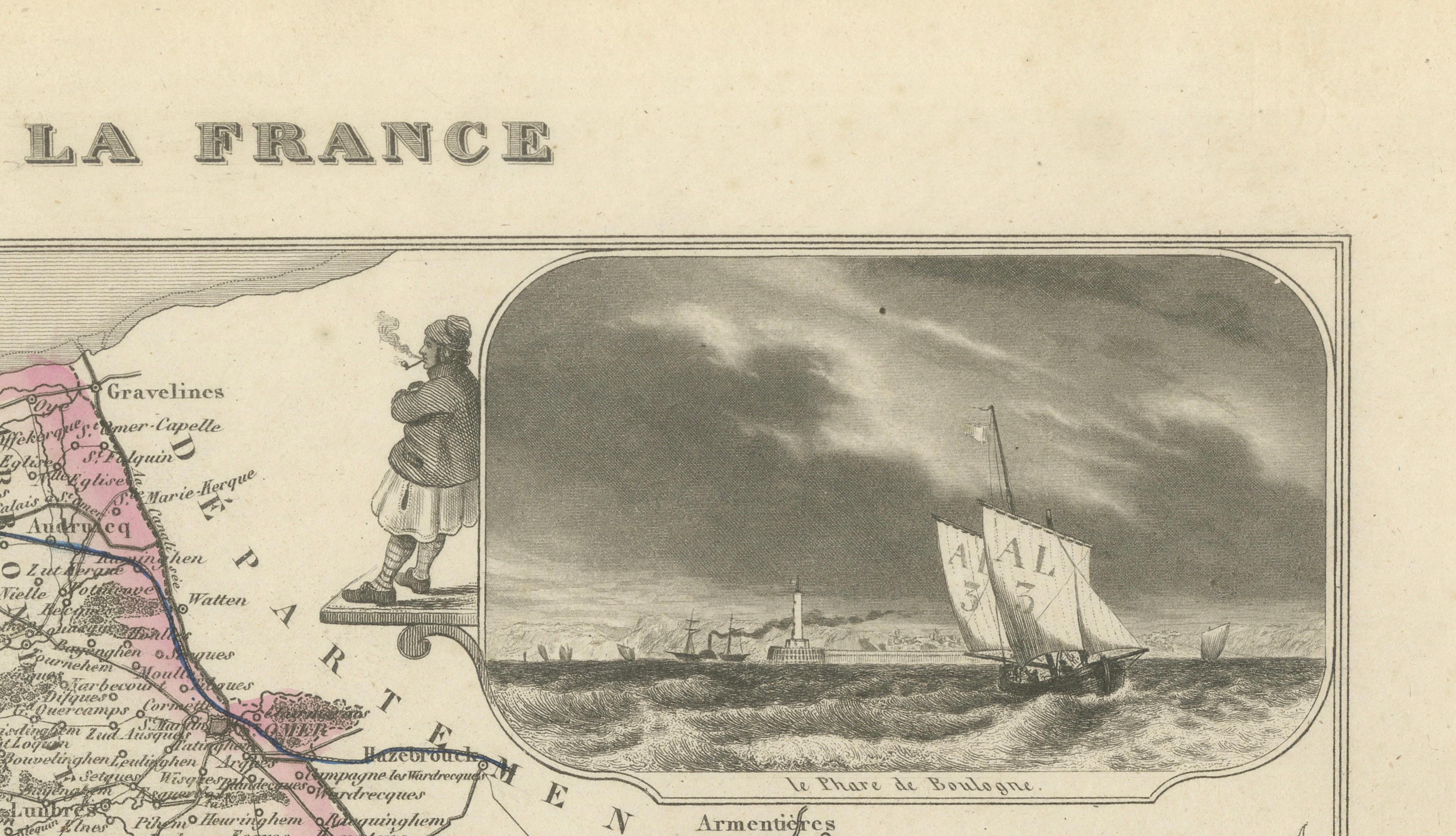
The decorative composition includes an atmospheric maritime view titled Le Phare de Boulogne, showing sailing vessels approaching the coast. Further embellishments include a portrait of Pigault-Lebrun, the historic arms of Arras and a standing historical figure positioned near Calais.
Pas-de-Calais is closely associated with the Côte d’Opale, including Cap Blanc-Nez, Cap Gris-Nez, Wissant, Wimereux, Boulogne-sur-Mer and the fashionable seaside resort of Le Touquet-Paris-Plage. The coastline is known for its broad beaches, chalk cliffs, maritime heritage and views towards England.
The region also holds considerable interest for collectors of First World War history through sites including Vimy Ridge, Notre-Dame-de-Lorette and the battlefields surrounding Arras. Other important regional associations include Calais lace, the Louvre-Lens museum, the mining heritage of Lens and traditional northern French gastronomy.
An attractive historical map for collectors of French cartography, maritime history, the Côte d’Opale, Artois heritage and nineteenth-century decorative engravings.
This is an original antique engraving and not a modern reproduction. It is offered unframed. Any framed images are shown for presentation and interior inspiration only.
Technique: Engraving with original hand colouring
Maker: Alexandre Vuillemin
Place of Publication: Paris, France
Date: Circa 1850
Source: La France Illustrée
Department: Pas-de-Calais, number 61
Region: Historic Artois, Hauts-de-France
Condition:
Good antique condition with general age-related toning, scattered foxing, light staining and handling marks. The original hand-coloured boundaries remain attractive and clearly visible. Wear is consistent with age and use. Please examine the images carefully, as they form an important part of the condition description.
Keywords:
Alexandre Vuillemin, antique Pas-de-Calais map, Pas de Calais France map, historic Artois map, Hauts-de-France map, antique Arras map, Arras Grand Place, Arras belfry, Calais antique map, Calais France, Calais lace, Dentelle de Calais, Boulogne-sur-Mer map, Boulogne harbour, Boulogne lighthouse, Le Phare de Boulogne, Saint-Omer map, Béthune map, Lens France map, Louvre-Lens, Montreuil-sur-Mer map, Bapaume map, Hesdin map, Aire-sur-la-Lys, Saint-Pol-sur-Ternoise, Ardres map, Guînes map, Desvres map, Frévent map, Lillers map, Étaples map, Berck-sur-Mer, Le Touquet-Paris-Plage, Côte d’Opale, Opal Coast, Cap Blanc-Nez, Cap Gris-Nez, Wissant France, Wimereux France, Ambleteuse, Hardelot, Audresselles, English Channel map, France England coast, Dover Strait, Strait of Calais, Pigault-Lebrun, arms of Arras, French maritime history, Artois history, Vimy Ridge, Canadian National Vimy Memorial, Battle of Arras, Notre-Dame-de-Lorette, First World War battlefields, WWI memorial map, Lens mining heritage, northern France coalfields, French departmental map, La France Illustrée, decorative French map, nineteenth-century cartography, antique French engraving, original hand colouring, Côte d’Opale wall art, coastal interior decor, French country decor, Vieux Boulogne cheese, Sablé de Wissant cheese, Pavé de Calais cheese, Ratte du Touquet potato, bière de garde, Ch’ti beer, Flemish beer, French seafood, Boulogne fishing port, mussels and chips, smoked herring, carbonnade flamande, potjevleesch, tarte au libouli, Francophile gift, library wall art, office decor, collector’s map, original antique map