About this sheet
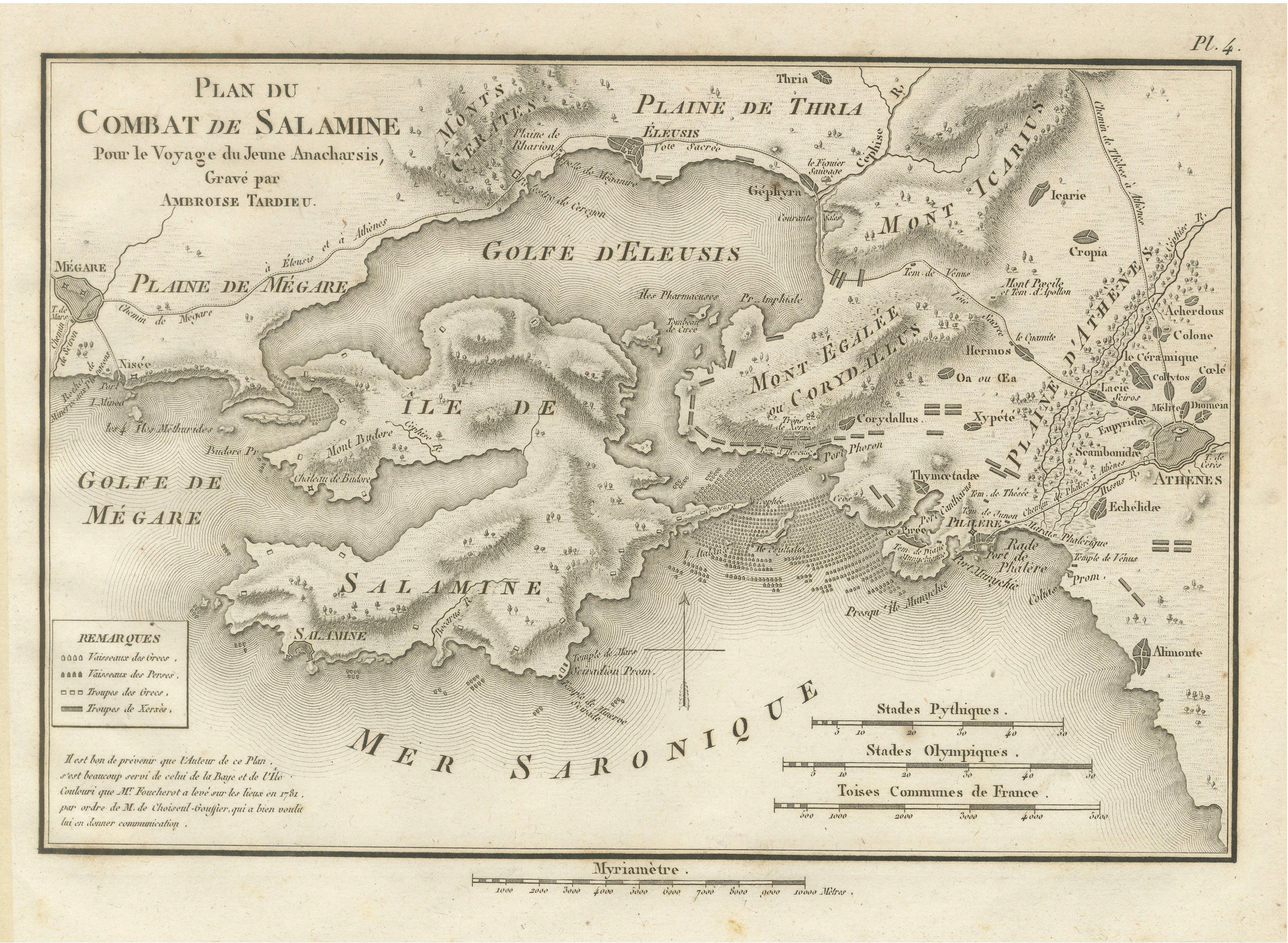
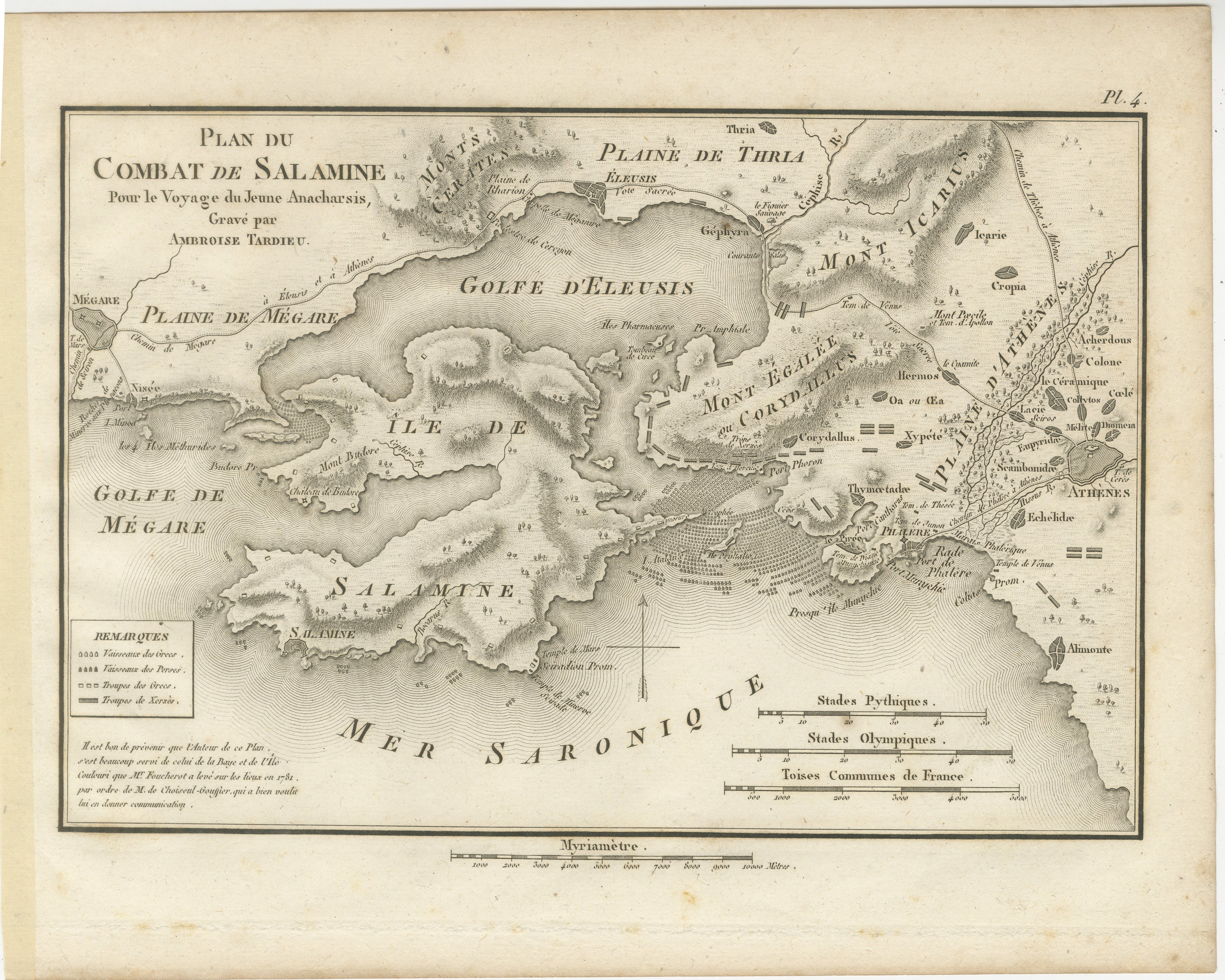
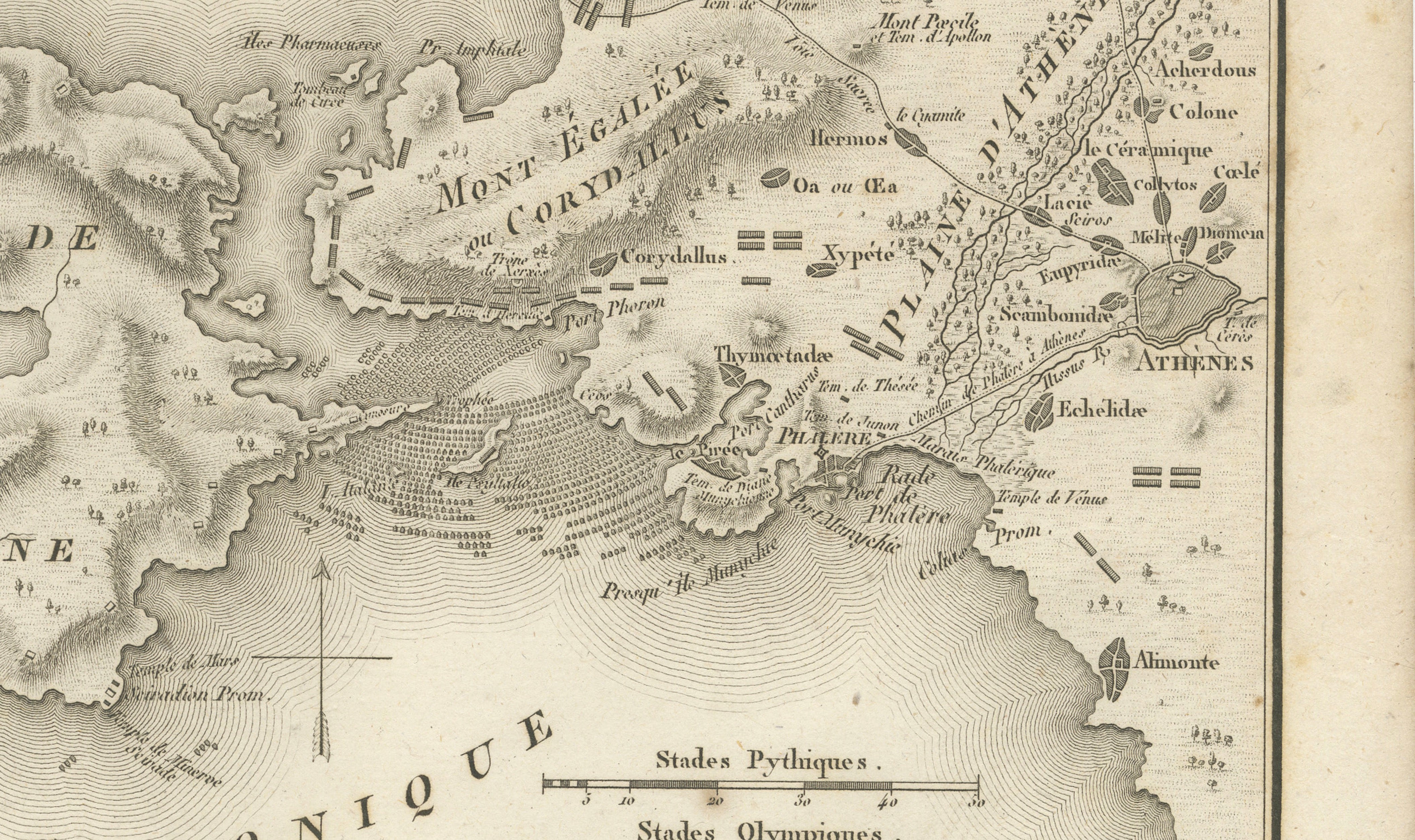
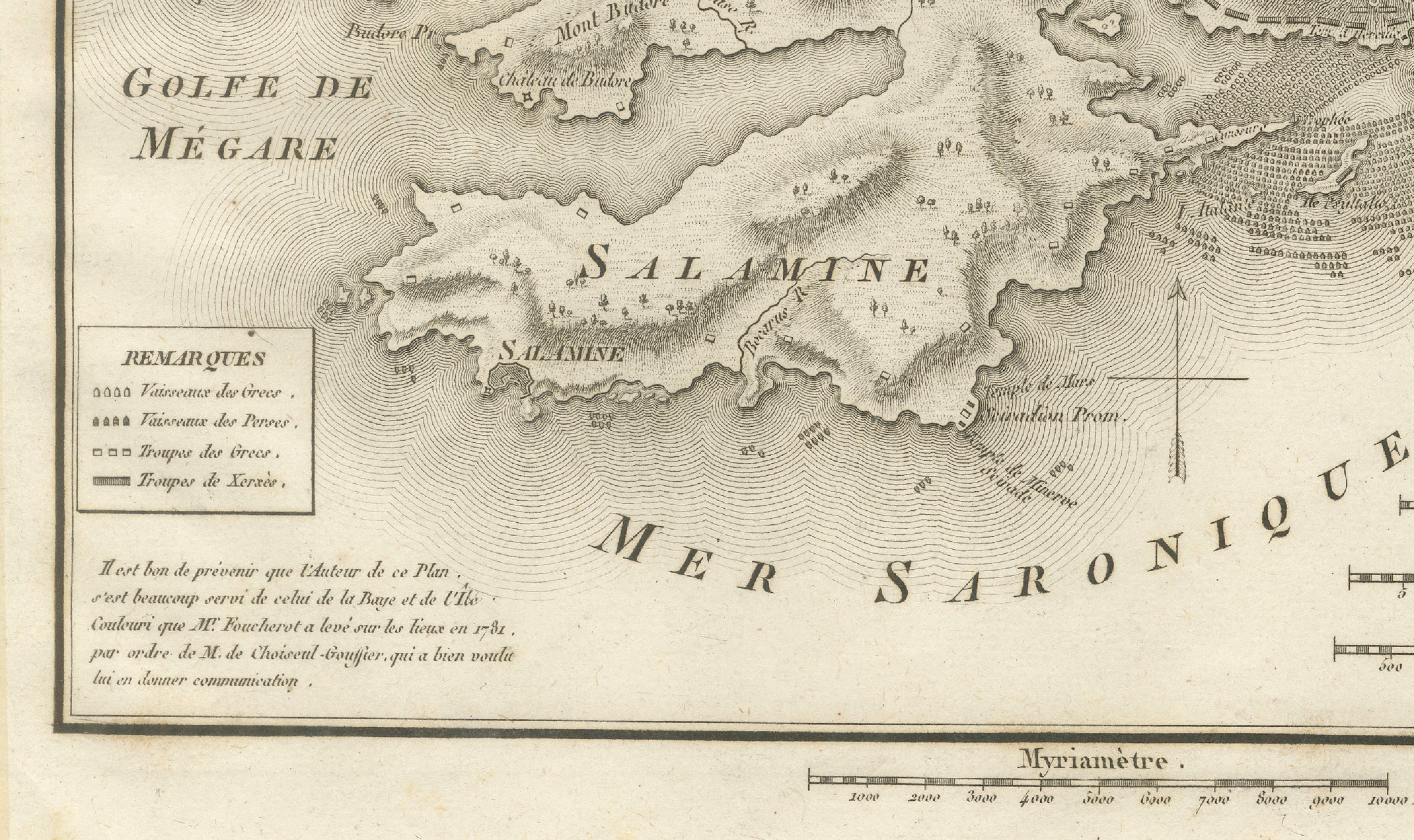
Original antique historical battle map titled Plan du Combat de Salamine, engraved by Ambroise Tardieu in 1821 for the atlas accompanying Voyage du Jeune Anacharsis en Grèce. This finely engraved map illustrates the famous naval Battle of Salamis, fought in 480 BC, one of the decisive engagements of the Greco-Persian Wars.
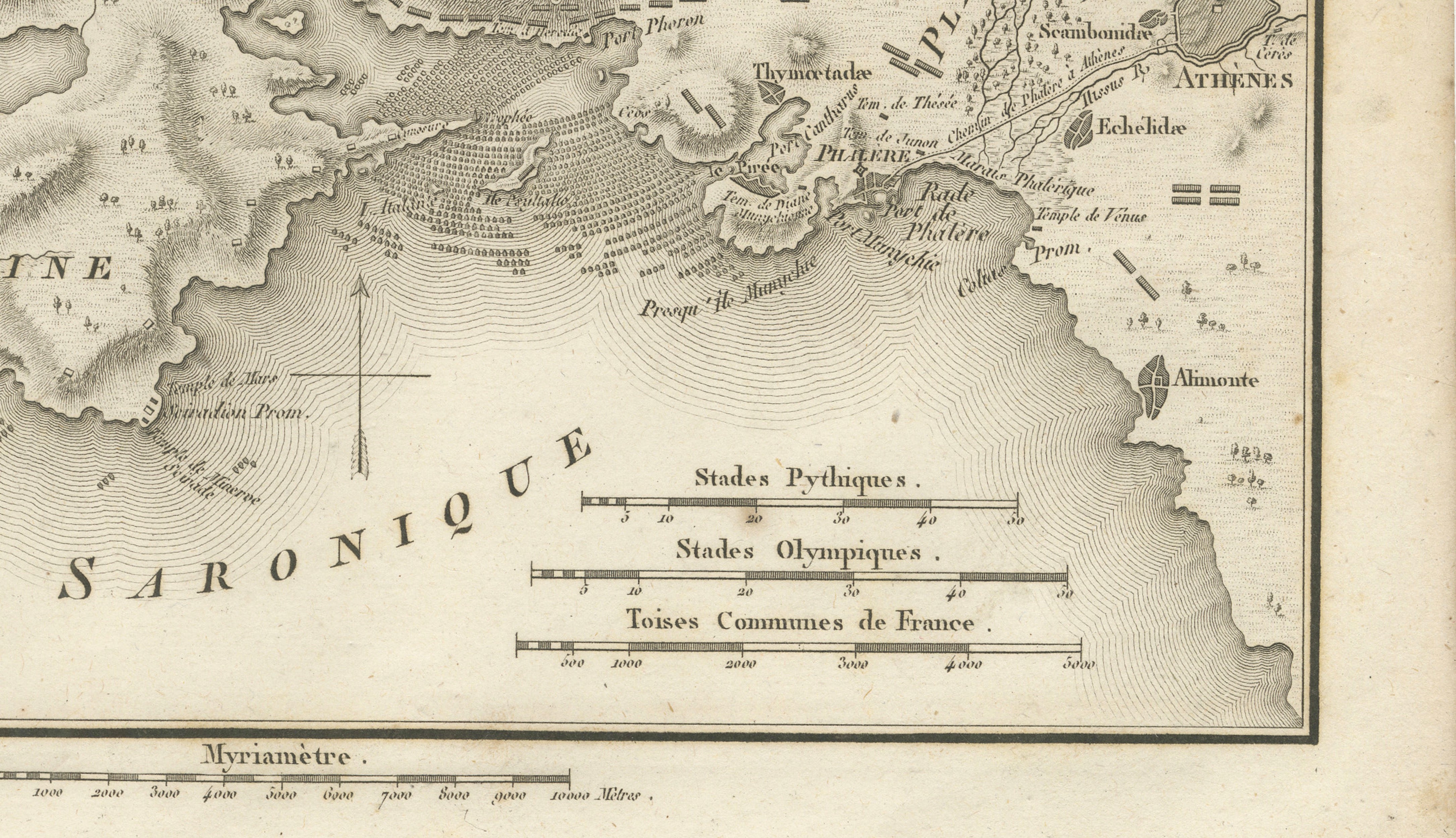
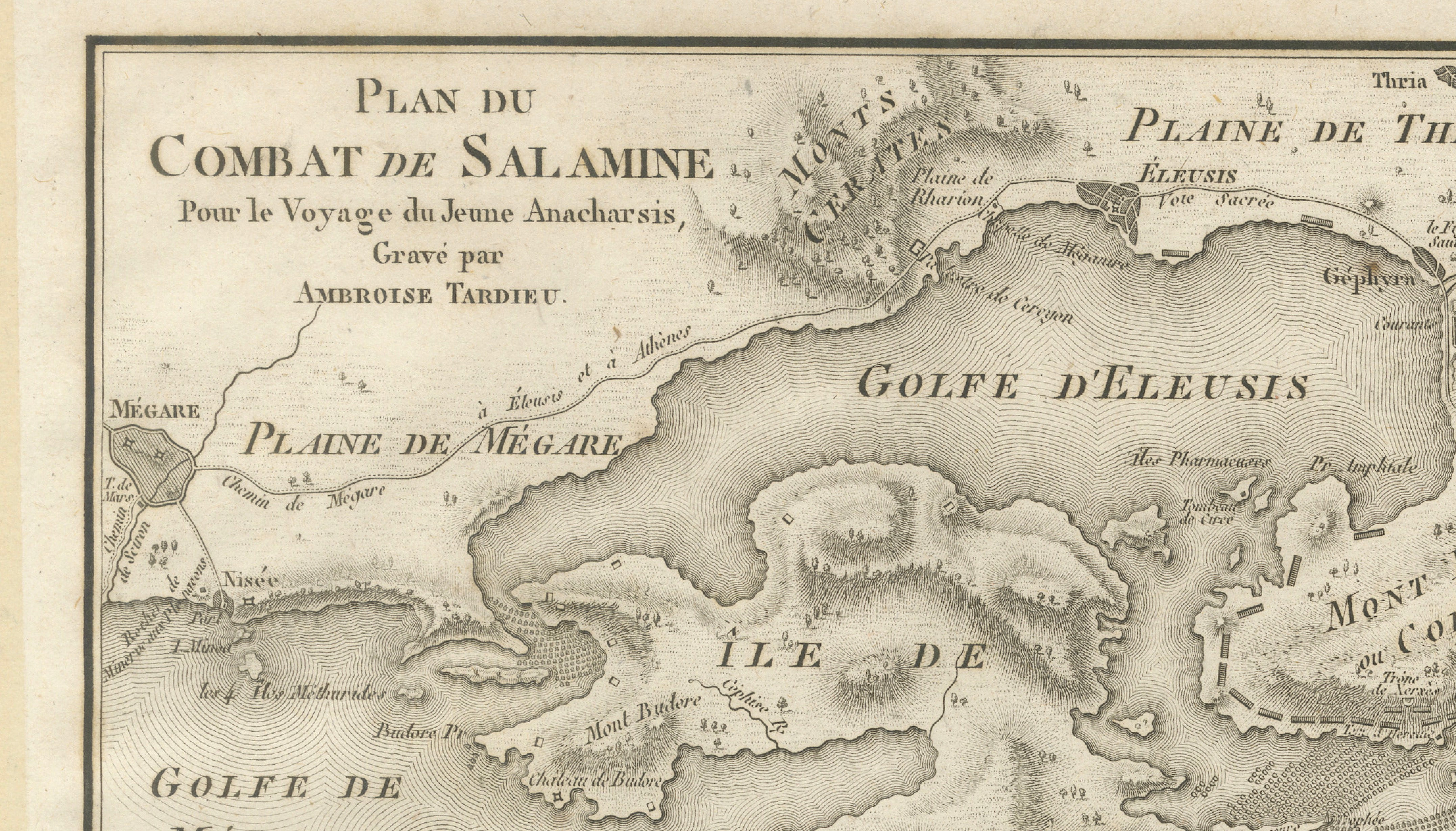
The map depicts the waters between the island of Salamis and the Athenian mainland, including the Gulf of Eleusis, the Gulf of Megara, the Saronic Gulf, Athens, Eleusis, Megara, and the surrounding mountains and coastal features. A detailed legend identifies the positions and movements of the Greek and Persian fleets, making this both a geographical and military document of one of antiquity's most celebrated naval victories.
Jean-Jacques Barthélemy's Voyage du Jeune Anacharsis en Grèce was among the most influential eighteenth-century works on classical Greece. The accompanying atlas by Ambroise Tardieu is renowned for its elegant engraving, historical accuracy, and scholarly importance, and remains highly sought after by collectors of classical antiquity and military history.
Maker:
Ambroise Tardieu (1788-1841)
Title:
Plan du Combat de Salamine
Date:
1821
Technique:
Copperplate engraving.
Condition:
Good condition considering its age. Light age toning and occasional foxing. Minor wear and faint handling marks confined mainly to the margins. Strong impression with clear engraved detail. Please study the photographs carefully.
This is an original antique print, not a modern reproduction.
Framed and interior photographs are for display and inspiration purposes only. The print is sold unframed.
Keywords:
Battle of Salamis, Salamine, Ancient Greece, Greco-Persian Wars, Persian Empire, Athens, Eleusis, Megara, Saronic Gulf, Naval Battle, Military History, Ambroise Tardieu, Voyage du Jeune Anacharsis, Classical Antiquity, Historical Map, Antique Map, Copperplate Engraving, Original Antique Print, 1821, Greek History.