About this sheet
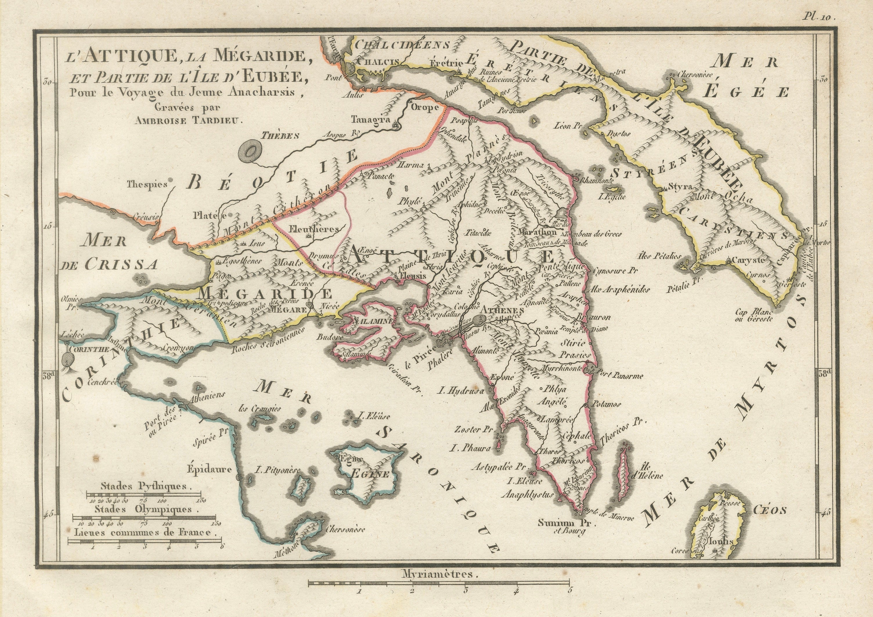
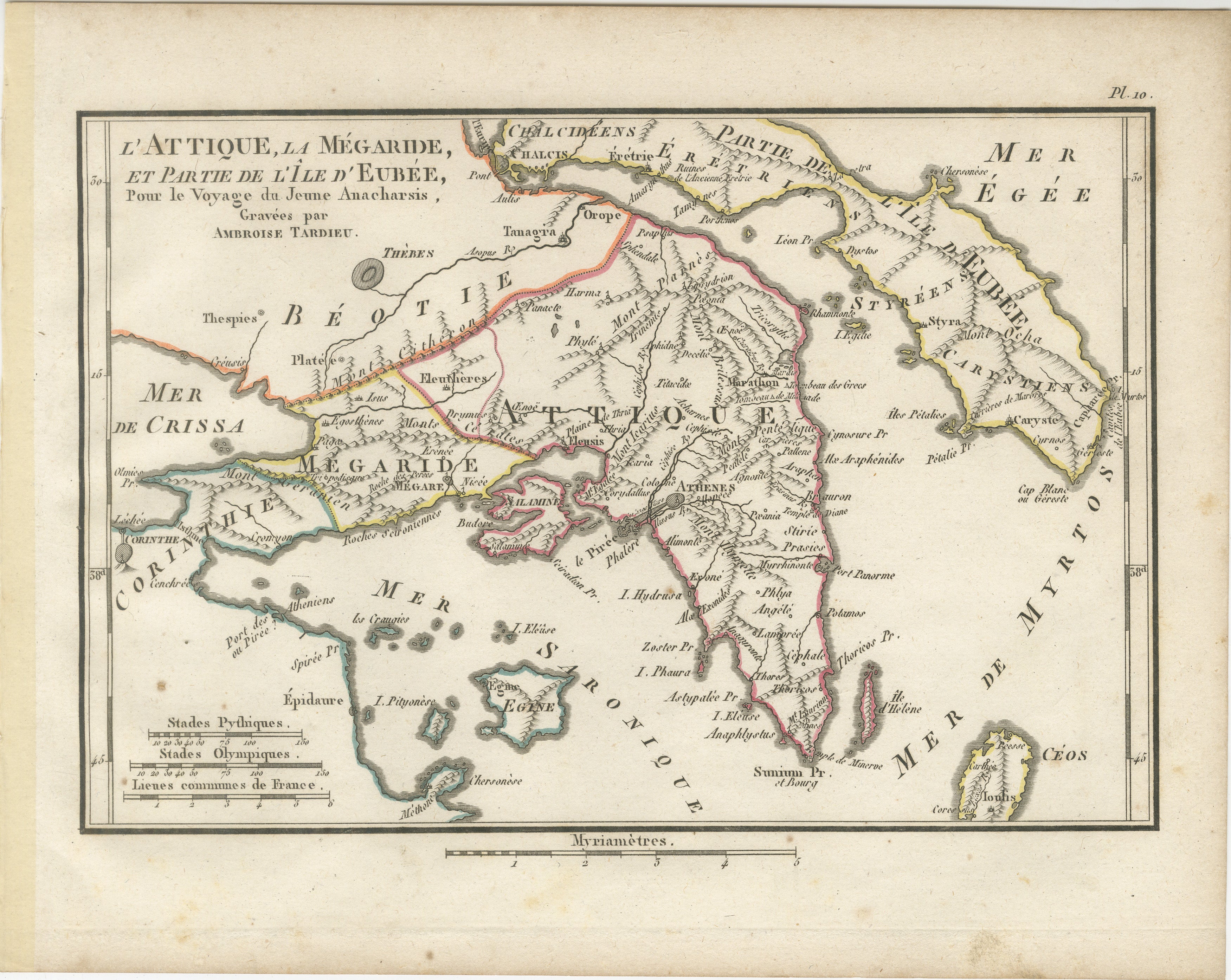
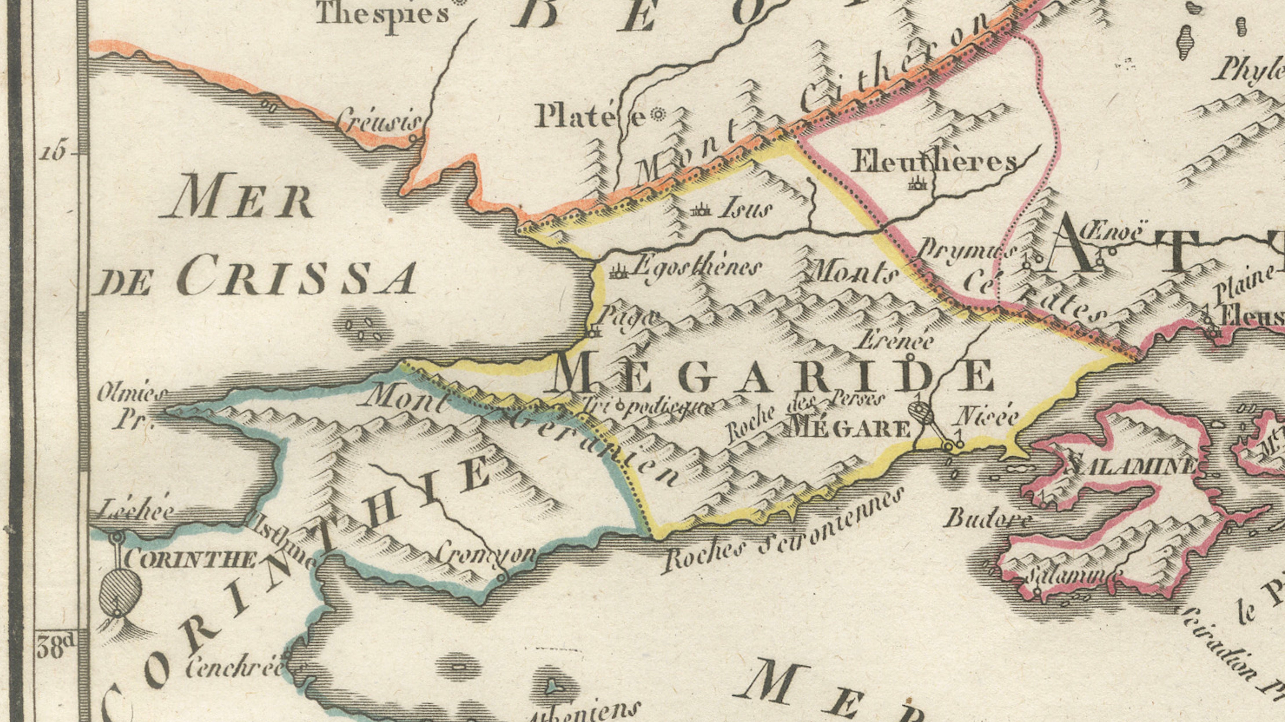
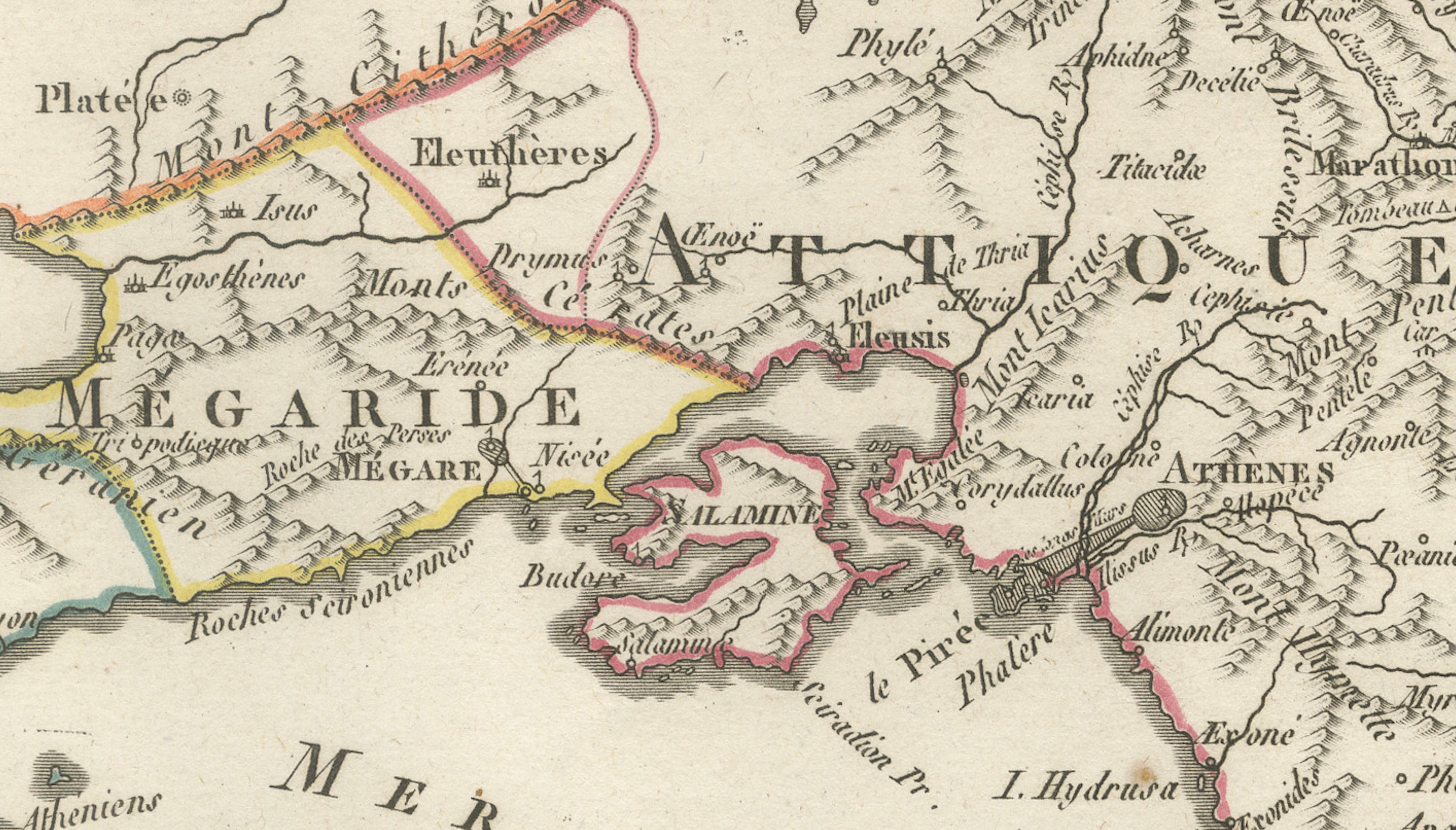
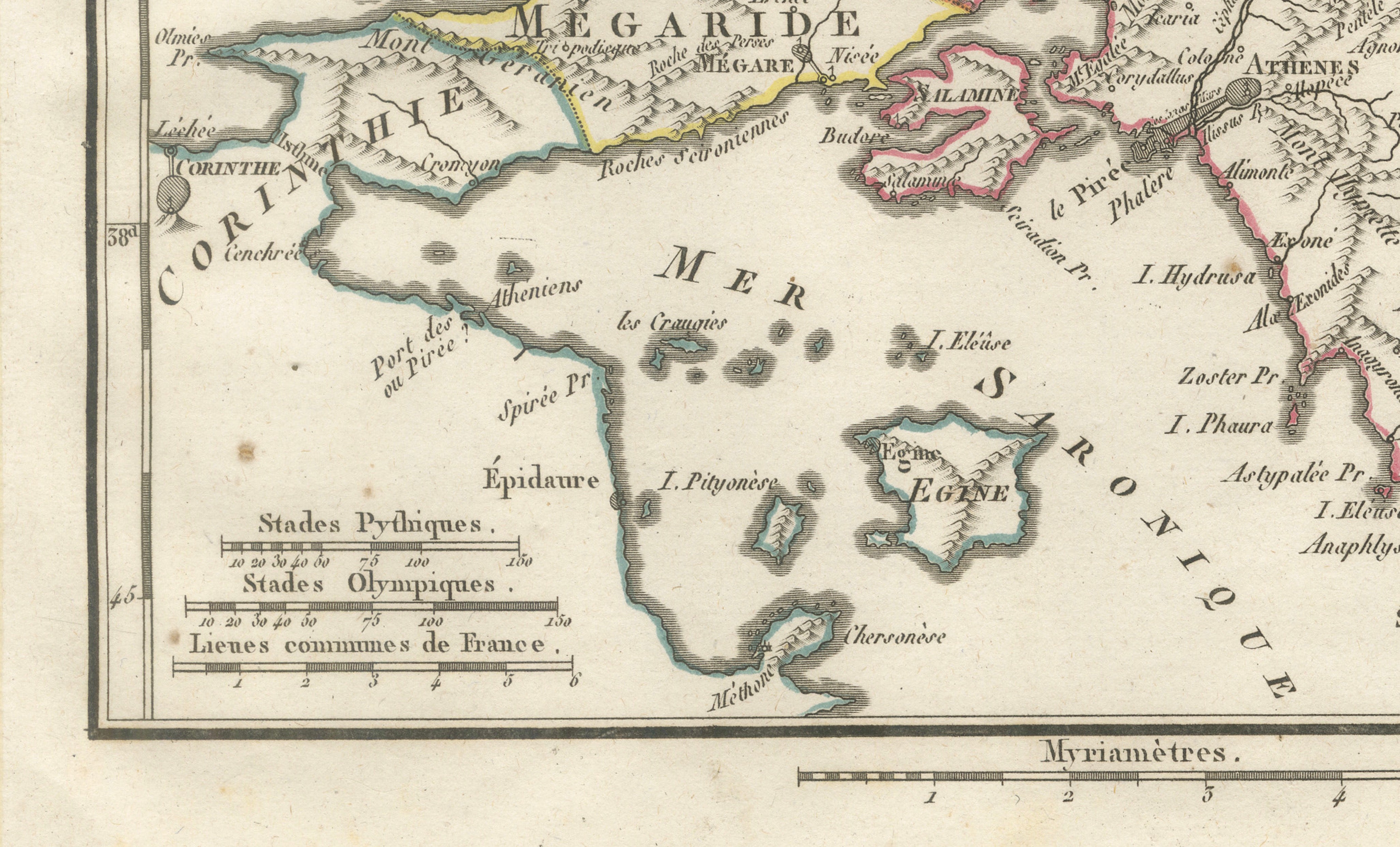
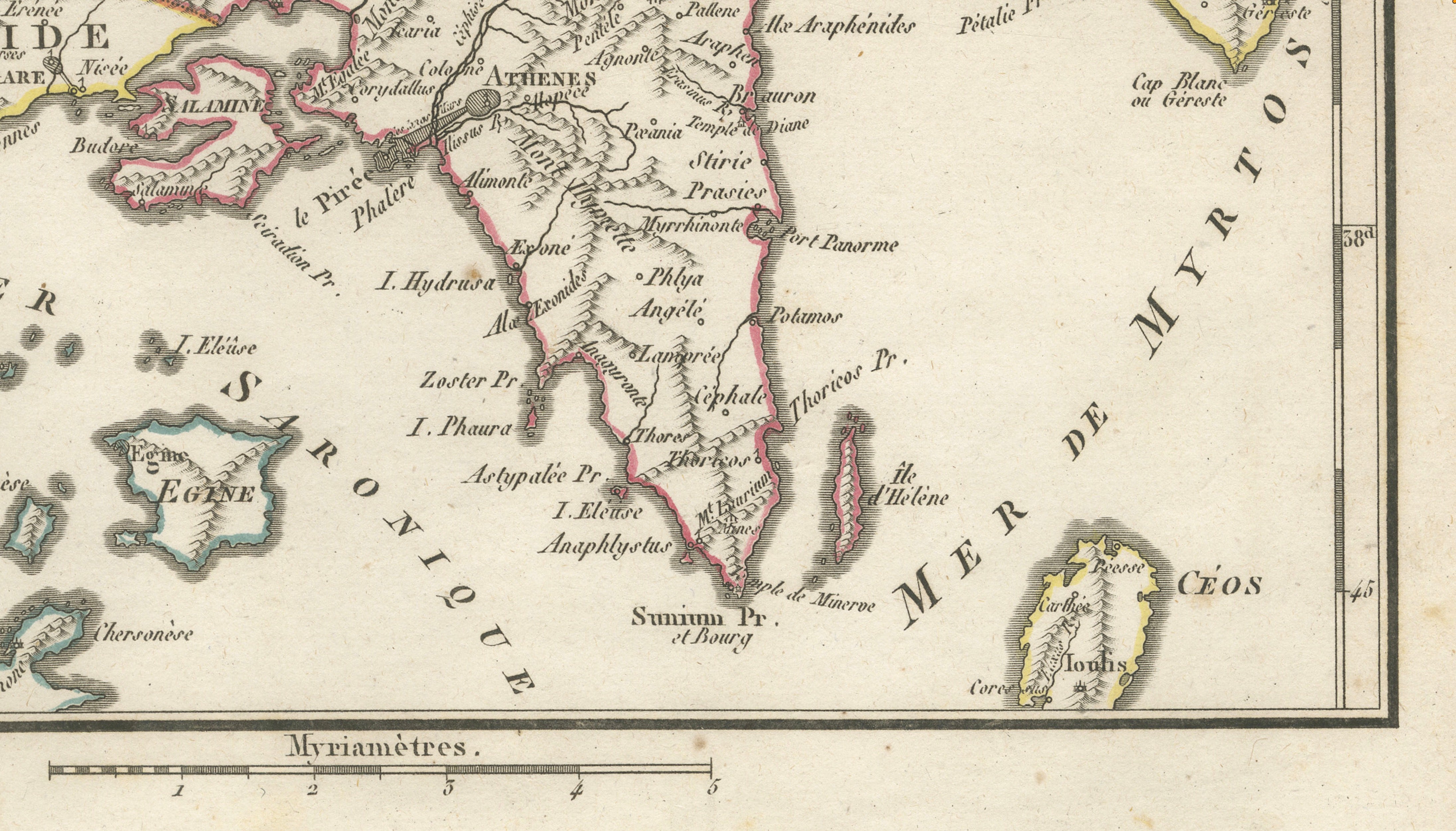
Original antique engraved and hand-coloured map of Attica, Megara and part of the island of Euboea, engraved by Ambroise Tardieu for the atlas accompanying Jean-Jacques Barthélemy’s Voyage du jeune Anacharsis en Grèce.
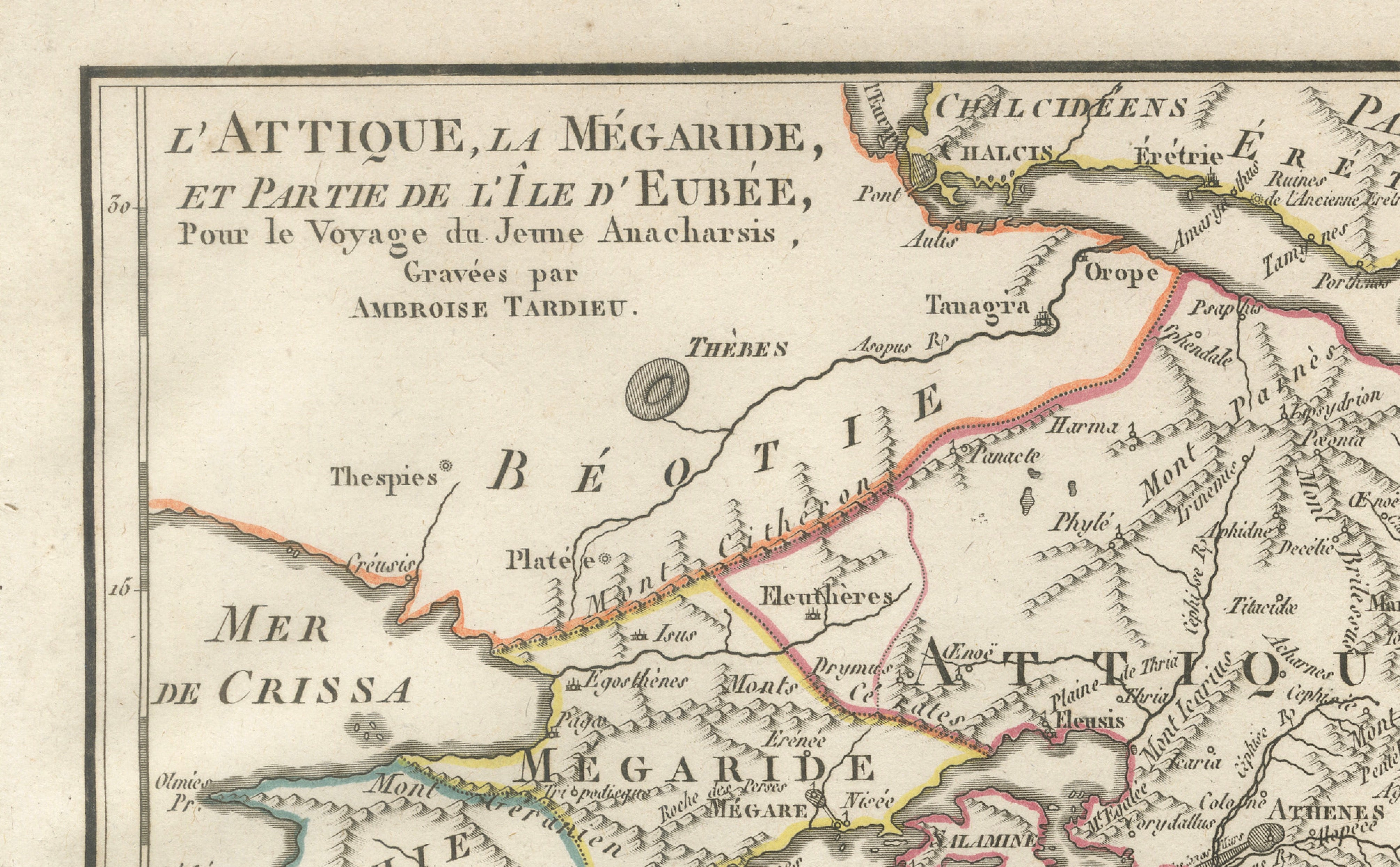
Titled “L’Attique, la Mégaride, et Partie de l’Île d’Eubée,” the map provides a detailed representation of the region surrounding ancient Athens, extending north towards Boeotia and Thebes, west across Megara and the Isthmus of Corinth, and east to Euboea and the Aegean Sea.
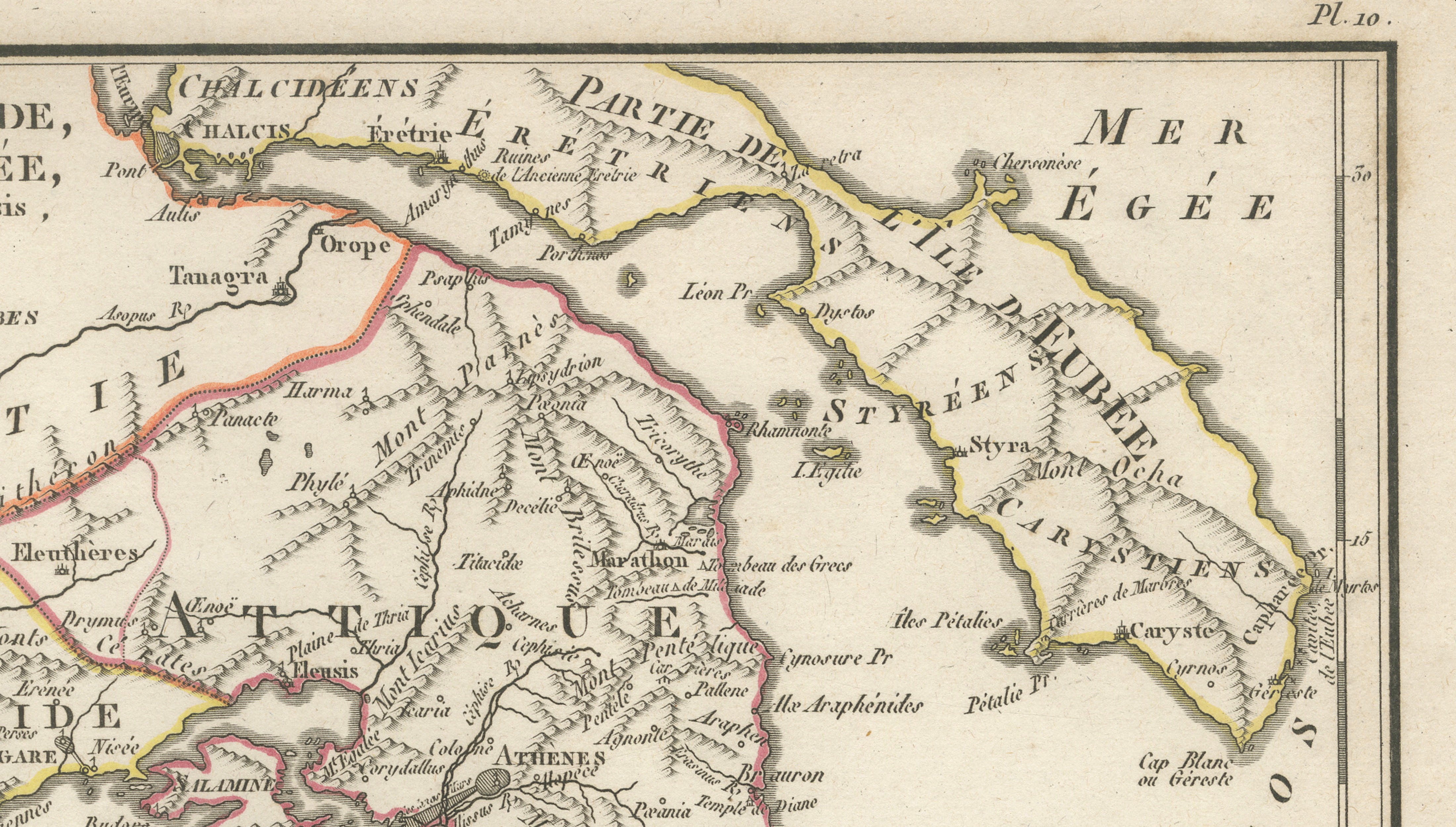
Athens occupies the centre of the map, surrounded by the mountains, settlements and coastal sites of ancient Attica. Numerous historically important locations are identified, including Marathon, Eleusis, Plataea, Thebes, Megara, Corinth, Salamis and Cape Sounion. The islands of Aegina, Salamis, Ceos and parts of Euboea are also prominently represented.
Particularly attractive are the coloured boundary lines, which distinguish the ancient territories and give the otherwise monochrome engraved map an appealing decorative quality.
An interesting map for collectors of ancient Greece, Athens, classical history and historical cartography.
Creator / Engraver: Ambroise Tardieu
Title: L’Attique, la Mégaride, et Partie de l’Île d’Eubée
Publication: Paris
Date: 1825
Technique: Engraving with original outline colour on paper
Plate: Pl. 10
Subject: Attica, Athens, Megara, Euboea and central Greece
Condition:
Good antique condition with general age toning, scattered foxing and occasional stains and marks, mainly in the margins. Some discoloration along the sheet edges. Original outline colouring remains attractive. The engraved image is clear and detailed. Please study the photographs carefully as they form an important part of the condition description.
Original antique map. Not a modern reproduction.
Sold unframed. Any framed or interior images shown are for presentation and inspiration only.
Keywords: Attica Map, Athens Map, Ancient Athens, Megara Map, Euboea Map, Ancient Greece, Greek Islands, Marathon, Eleusis, Thebes, Plataea, Corinth, Salamis, Aegina, Cape Sounion, Boeotia, Classical Greece, Ambroise Tardieu, Hand Coloured Map, Antique Greece Map, Historical Cartography, 1825 Map.