About this sheet
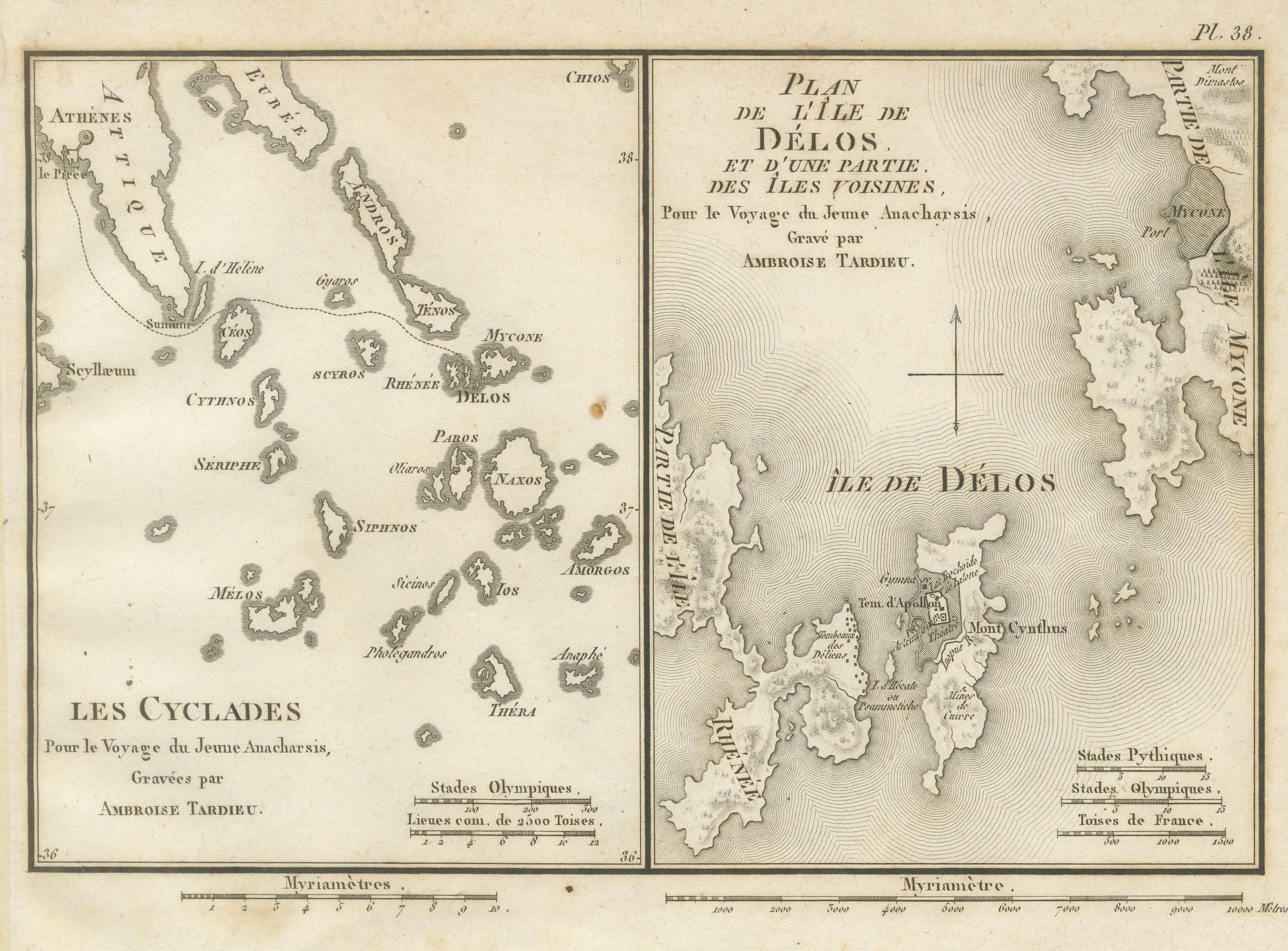
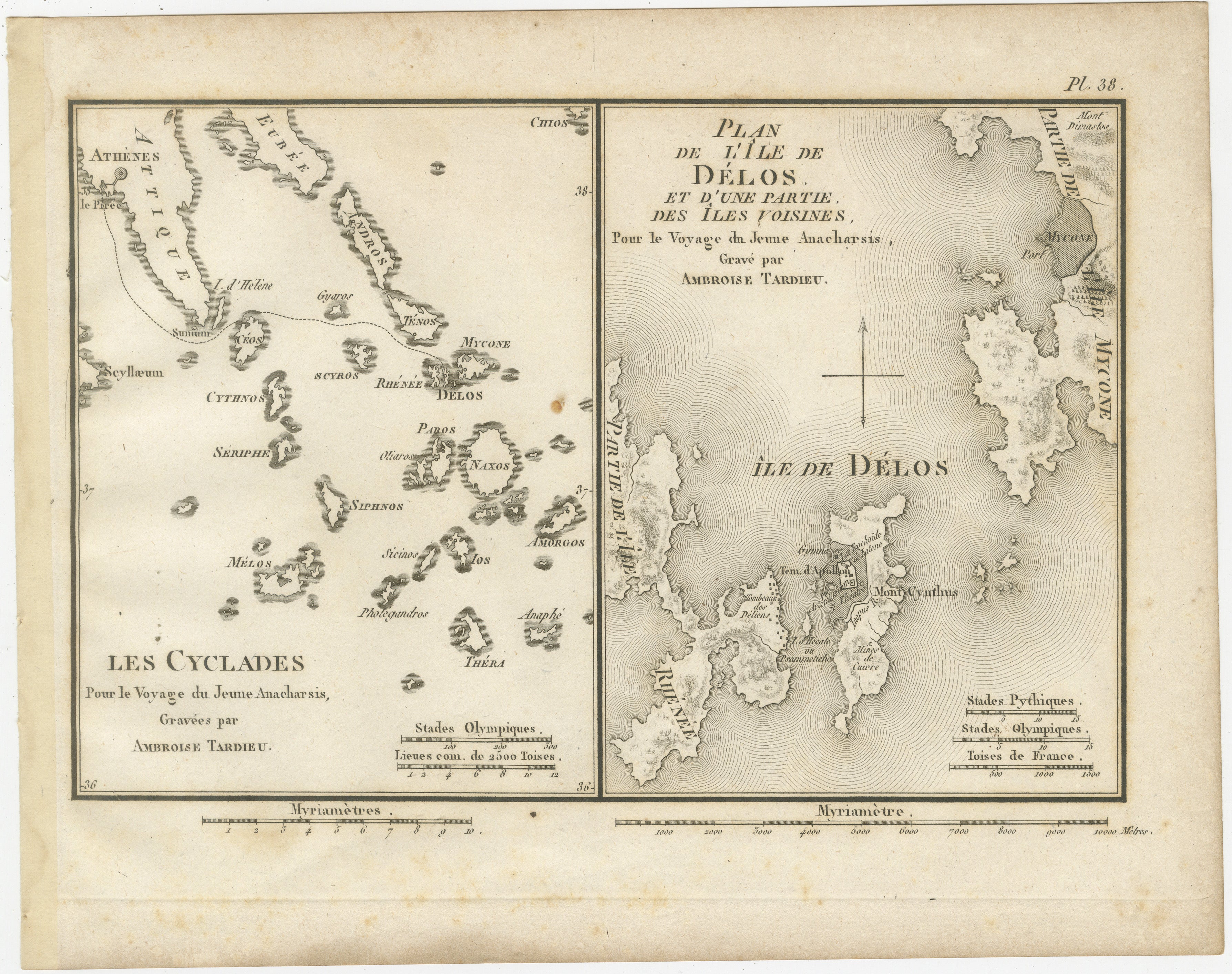
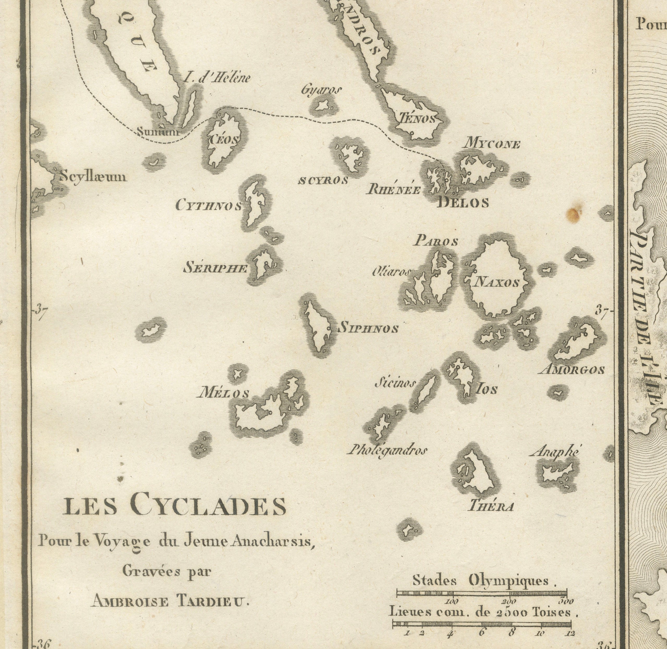
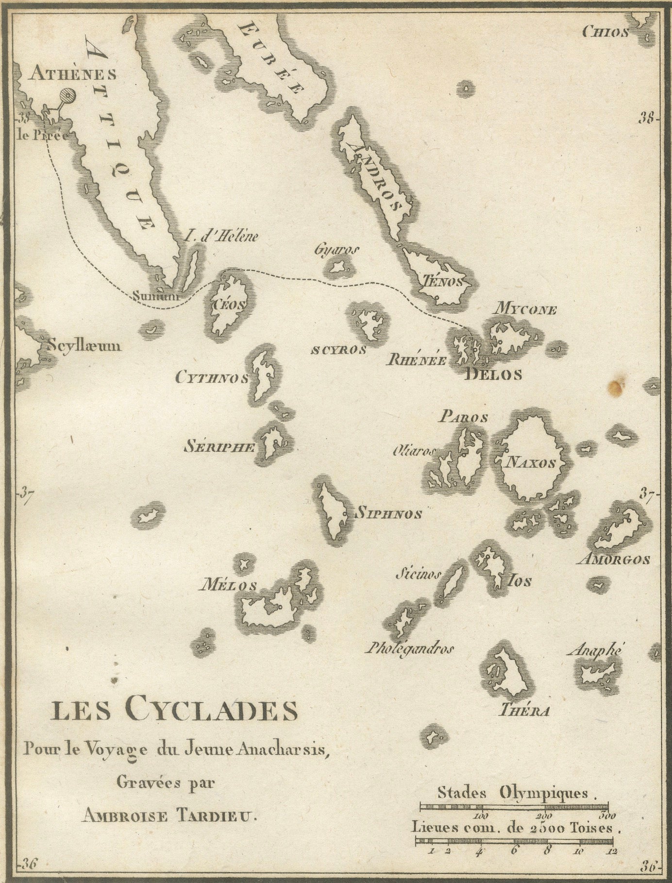
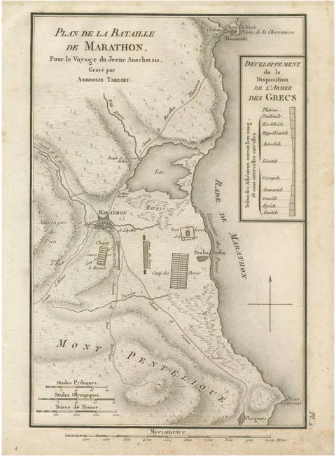
Original antique engraved double map depicting the Cyclades and a detailed plan of the sacred island of Delos, engraved by Ambroise Tardieu for the atlas accompanying Jean-Jacques Barthélemy’s celebrated Voyage du jeune Anacharsis en Grèce.
The plate contains two complementary maps.
The left-hand map, titled “Les Cyclades,” provides an attractive overview of the Cycladic islands in the Aegean Sea. It identifies numerous islands including Mykonos, Delos, Naxos, Paros, Antiparos, Tinos, Syros, Kea, Kythnos, Serifos, Sifnos, Milos, Ios, Amorgos and Thera, today known as Santorini. Athens and the coast of Attica appear at the upper left, providing geographical context for the archipelago.
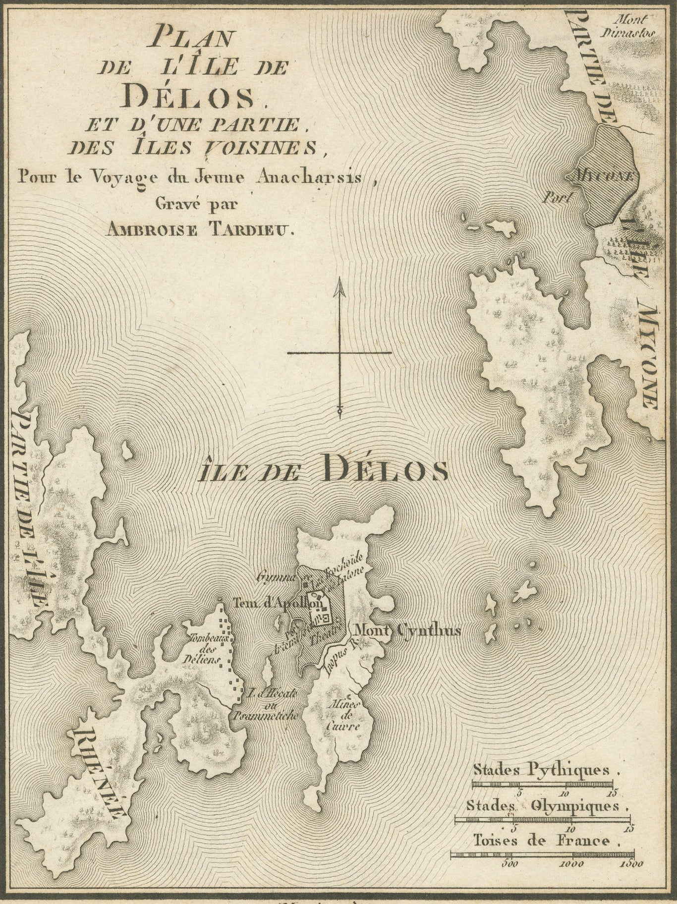
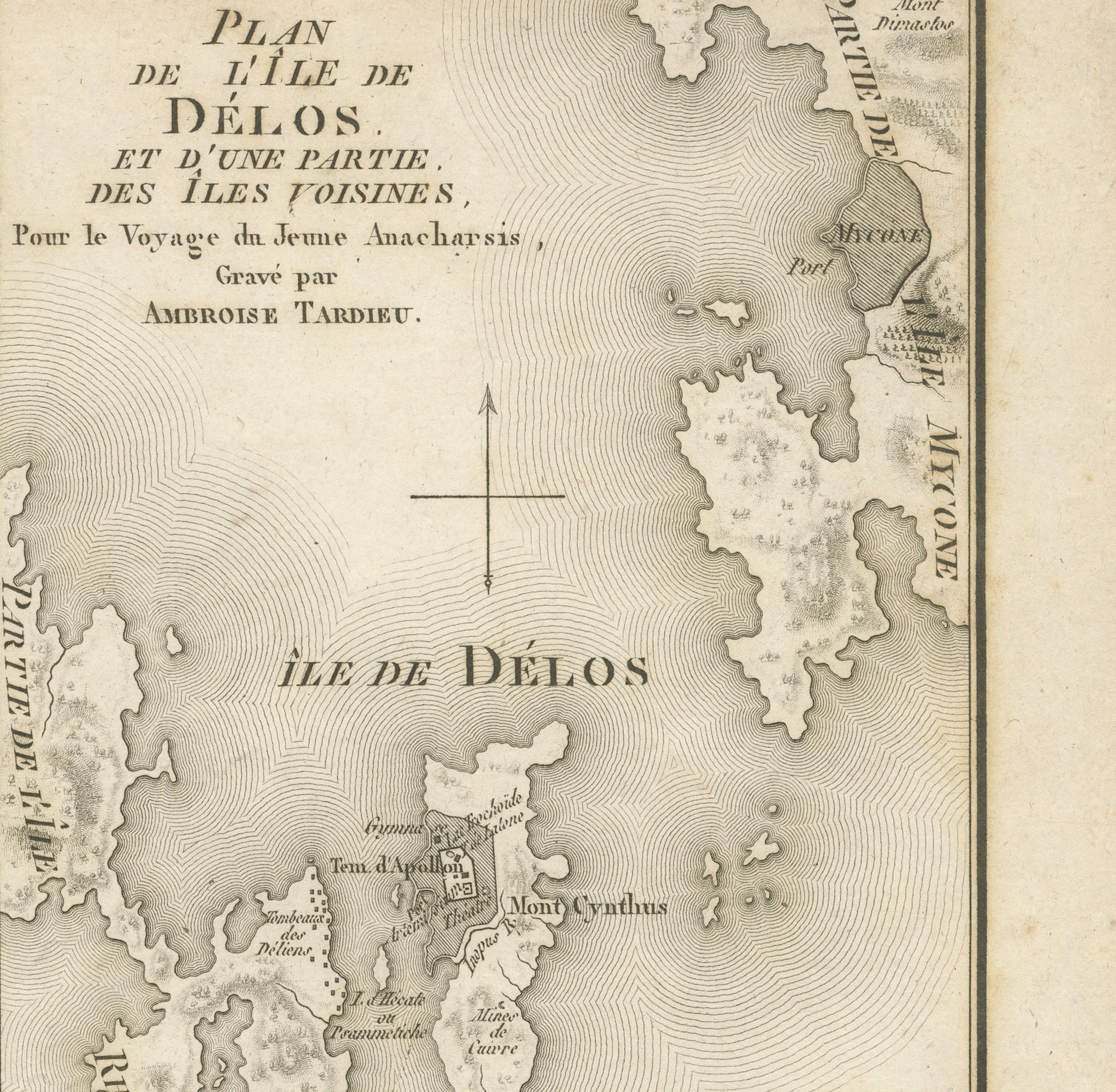
The right-hand map, titled “Plan de l’Île de Délos, et d’une Partie des Îles Voisines,” focuses closely on Delos and the surrounding islands. Fine engraved lines represent the waters of the Aegean, while the island itself includes Mount Cynthus and various ancient sites and sanctuaries.
Delos was one of the most important sacred islands of ancient Greece. According to Greek mythology it was the birthplace of Apollo and Artemis and became a major sanctuary of Apollo as well as an important religious and commercial centre.
The combination of the broader Cyclades map with the detailed plan of Delos makes this an especially interesting plate for collectors of Greek islands, classical archaeology and ancient mythology.
Creator / Engraver: Ambroise Tardieu
Titles:
Les Cyclades
Plan de l’Île de Délos, et d’une Partie des Îles Voisines
Publication: Paris
Date: 1825
Technique: Engraving on paper
Plate: Pl. 38
Subject: Cyclades, Delos and the Aegean Islands, Greece
Condition:
Good antique condition with general age toning, scattered foxing and occasional stains and marks. A more noticeable brown spot is present near the centre between the two maps. Old mounting or tape residue is visible along the upper margin, with additional discoloration along the sheet edges and lower margin. The engraved areas remain strong, clear and highly detailed. Please study the photographs carefully as they form an important part of the condition description.
Original antique map. Not a modern reproduction.
Sold unframed. Any framed or interior images shown are for presentation and inspiration only.
Keywords: Cyclades Map, Delos Map, Greek Islands, Aegean Islands, Mykonos, Santorini, Thera, Naxos, Paros, Tinos, Syros, Milos, Amorgos, Sifnos, Ancient Delos, Apollo, Artemis, Greek Mythology, Ancient Greece, Ambroise Tardieu, Antique Greece Map, Historical Cartography, 1825 Map.