About this sheet

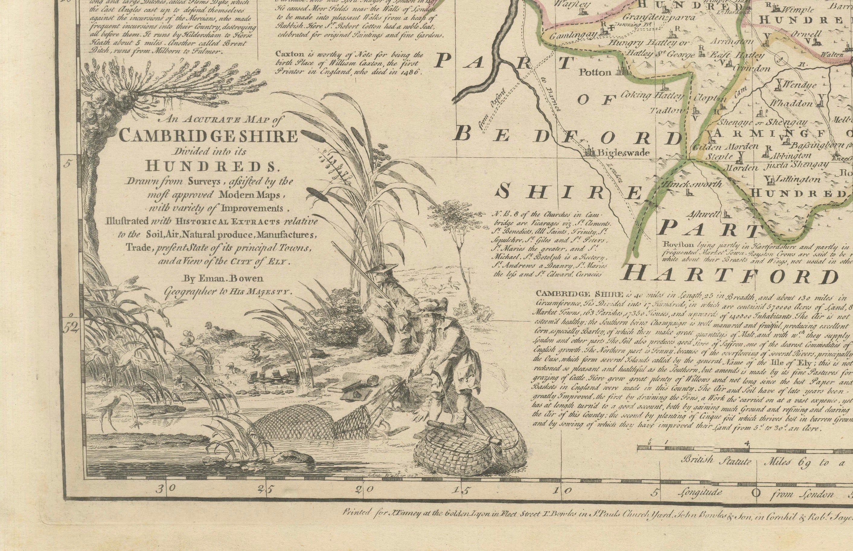
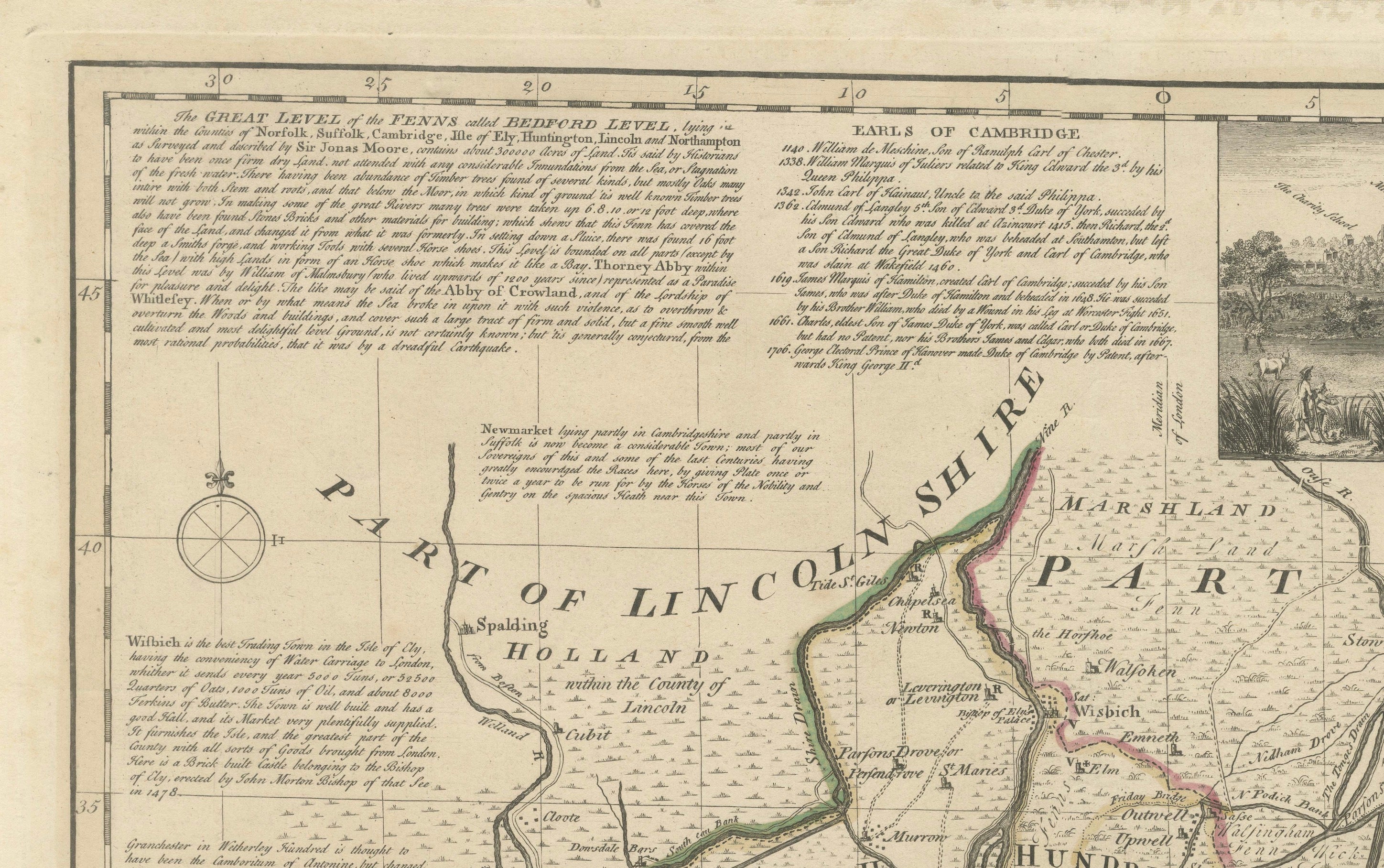
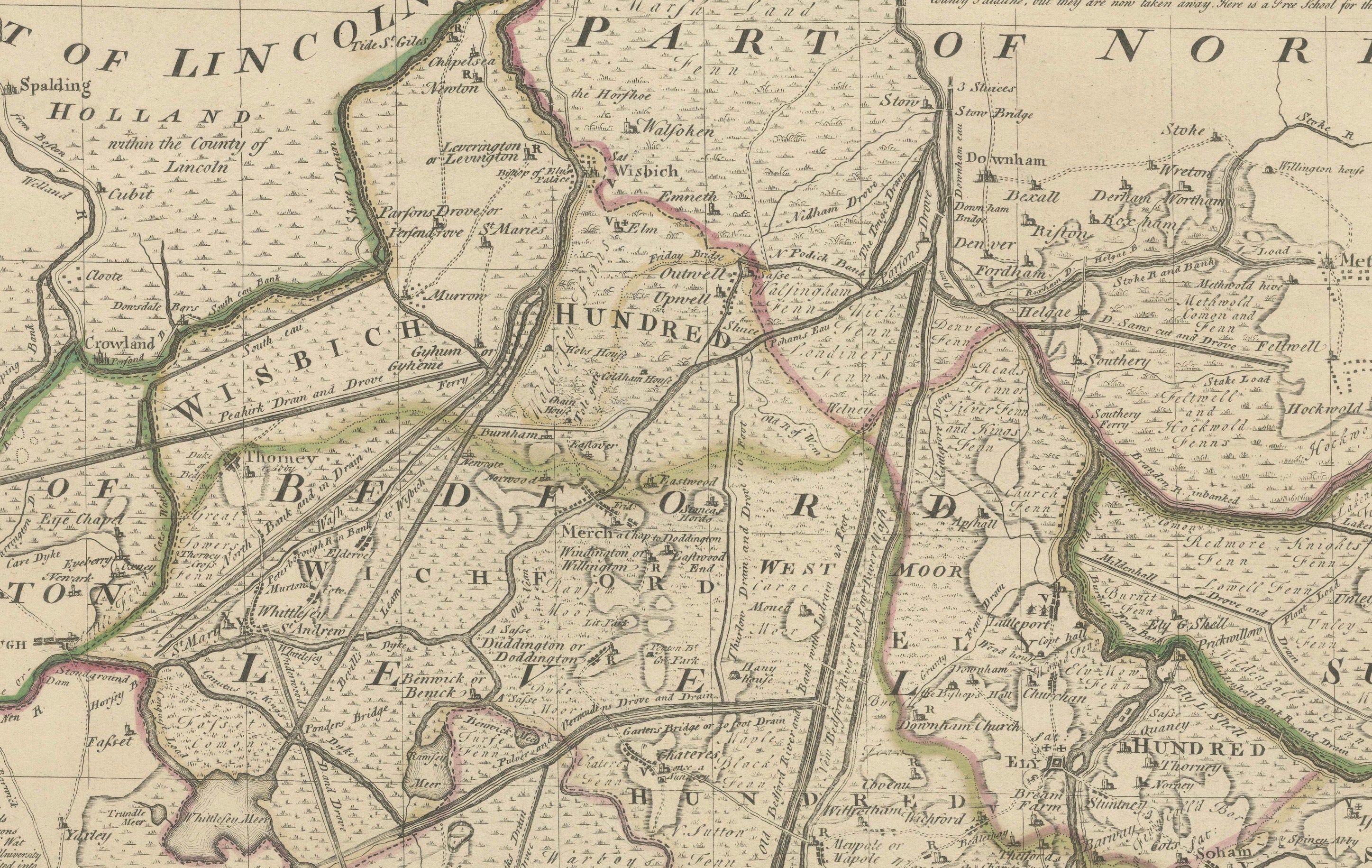
A large and highly detailed 18th-century county map by Emanuel Bowen, titled “An Accurate Map of Cambridgeshire Divided into its Hundreds,” published circa 1760 by J. Tinney, T. Bowles, John Bowles & Son and Robert Sayer for the celebrated Large English Atlas.
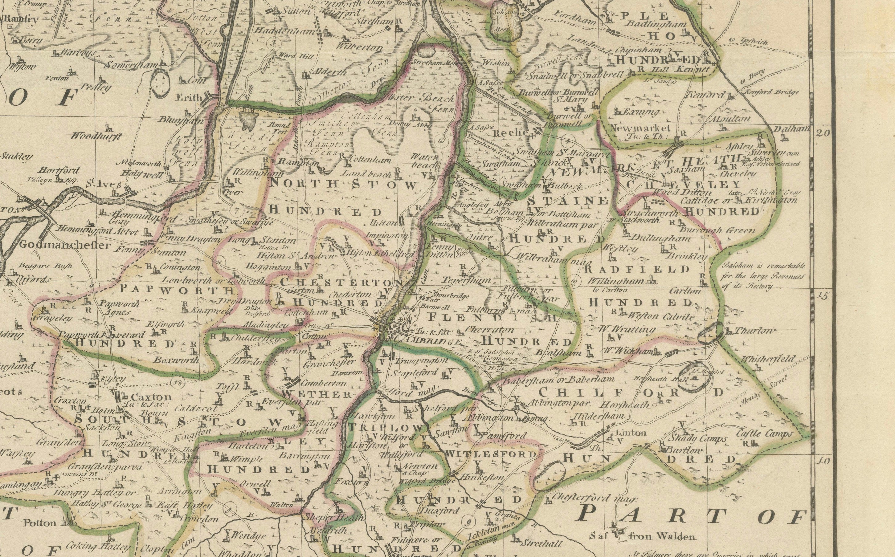
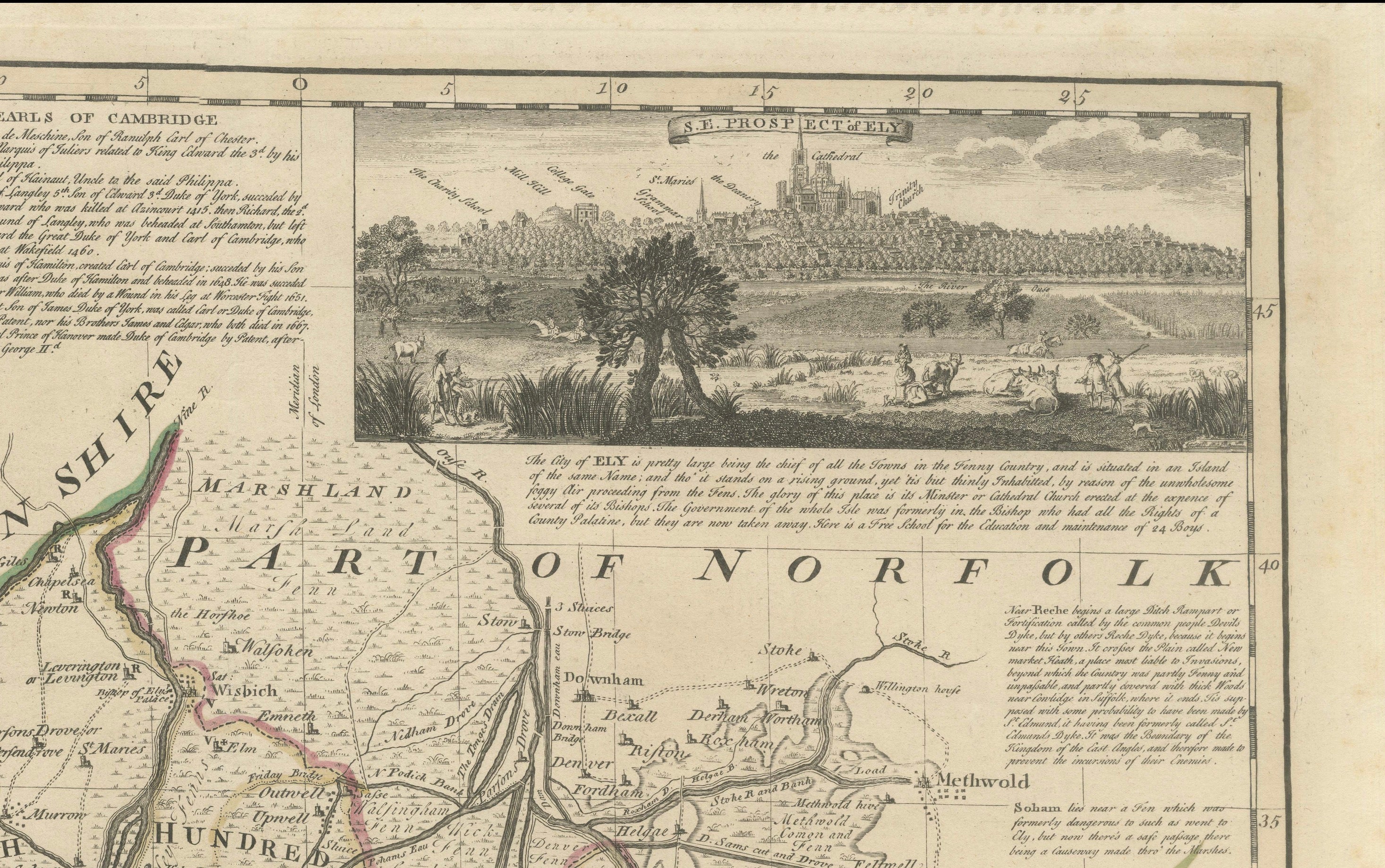
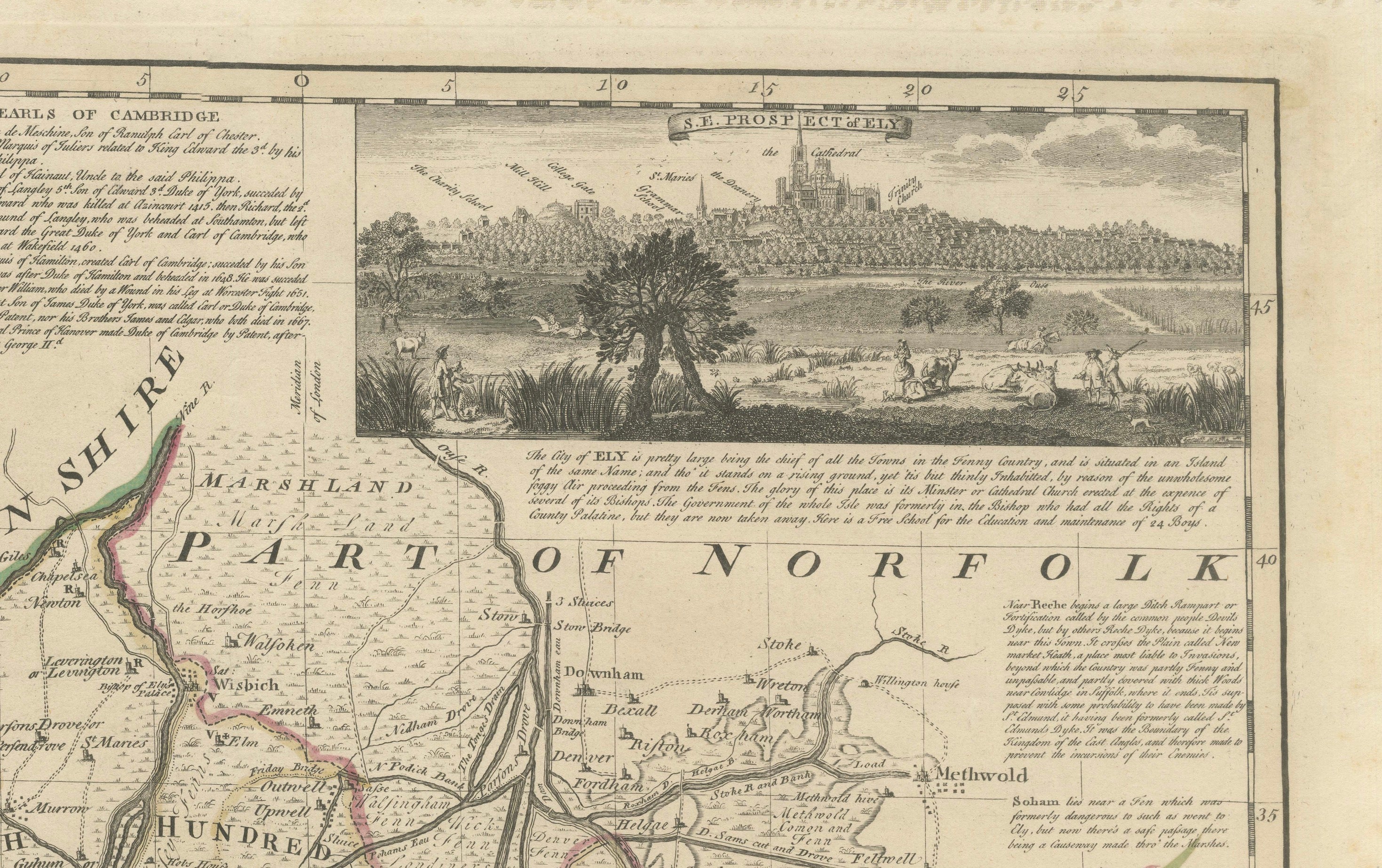
The map divides Cambridgeshire into its historic Hundreds and provides an exceptionally detailed record of the county during the Georgian period. Cambridge occupies a central position, surrounded by numerous villages, roads, rivers, estates and other geographical features, while extensive engraved annotations provide historical and topographical information characteristic of Bowen’s highly informative style.
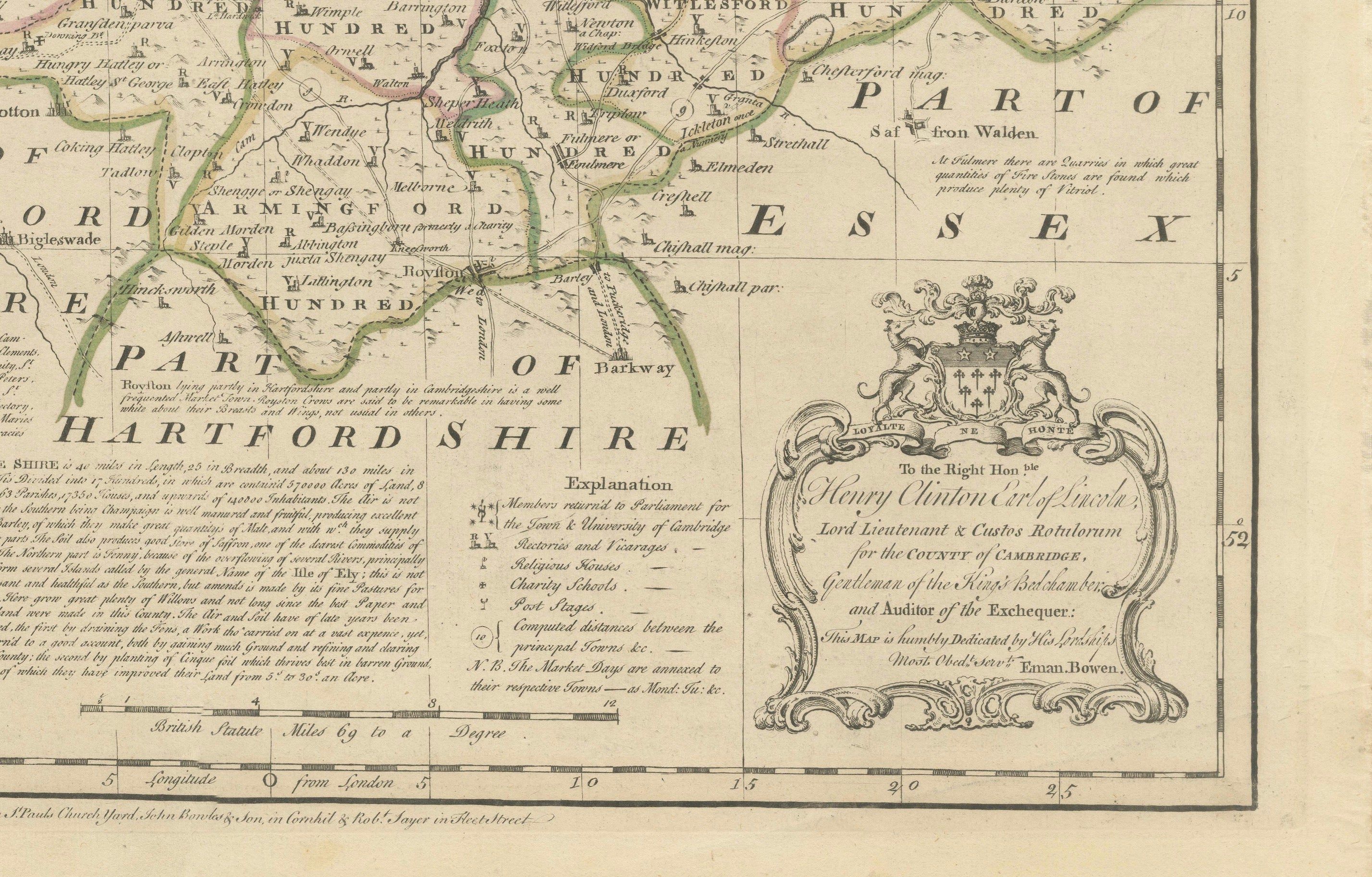
Particularly attractive is the inset prospect of Ely, with Ely Cathedral dominating the skyline. The map also incorporates an elaborate decorative cartouche and retains contemporary outline coloring, subtly distinguishing the historic administrative divisions.
Emanuel Bowen (1693/94–1767) was one of the most important British cartographers and engravers of the 18th century. He held the unusual distinction of serving as engraver to both King George II of Great Britain and Louis XV of France. His maps are particularly admired for combining geographical information with extensive historical, economic and topographical commentary.
The Large English Atlas was one of the most ambitious English county atlases of the 18th century. Its maps were produced on an unusually large scale, allowing considerably more geographical and historical information to be included than in many contemporary county atlases.
At approximately 70.5 × 52.5 cm (27.8 × 20.7 in.), this is an impressive original Georgian map with considerable decorative presence when framed. An excellent piece for collectors of Cambridgeshire, Cambridge, Ely and English cartography, as well as for a library, study or traditional or contemporary interior.
ARTIST / MAKER: Emanuel Bowen (1693/94–1767)
PUBLISHERS: J. Tinney, T. Bowles, John Bowles & Son and Robert Sayer
DATE: Circa 1760
ORIGIN: London, England
MEDIUM: Copper engraving on paper with contemporary outline coloring
DIMENSIONS: Approximately 70.5 × 52.5 cm (27.8 × 20.7 in.)
STYLE / PERIOD: Georgian, 18th Century
CONDITION: Good antique condition. Faint vertical fold consistent with its original atlas publication. Expected minor signs of age and handling. Please examine the photographs carefully for the condition of the individual sheet.
FRAME / PRESENTATION: Unframed. Any framed or interior images shown are for presentation and inspiration only.
PROVENANCE / REFERENCES: Originally published in The Large English Atlas, one of the most important English county atlases of the 18th century.
KEYWORDS: Emanuel Bowen, Cambridgeshire map, Cambridge map, Ely map, Ely Cathedral, antique English map, English county map, Large English Atlas, Georgian map, 18th century map, antique cartography, Cambridgeshire Hundreds, hand colored map, outline colored map, Cambridge Shire, historical map, British cartography, English geography, decorative map
SHIPPING: Carefully packed for worldwide shipping. Sold unframed.