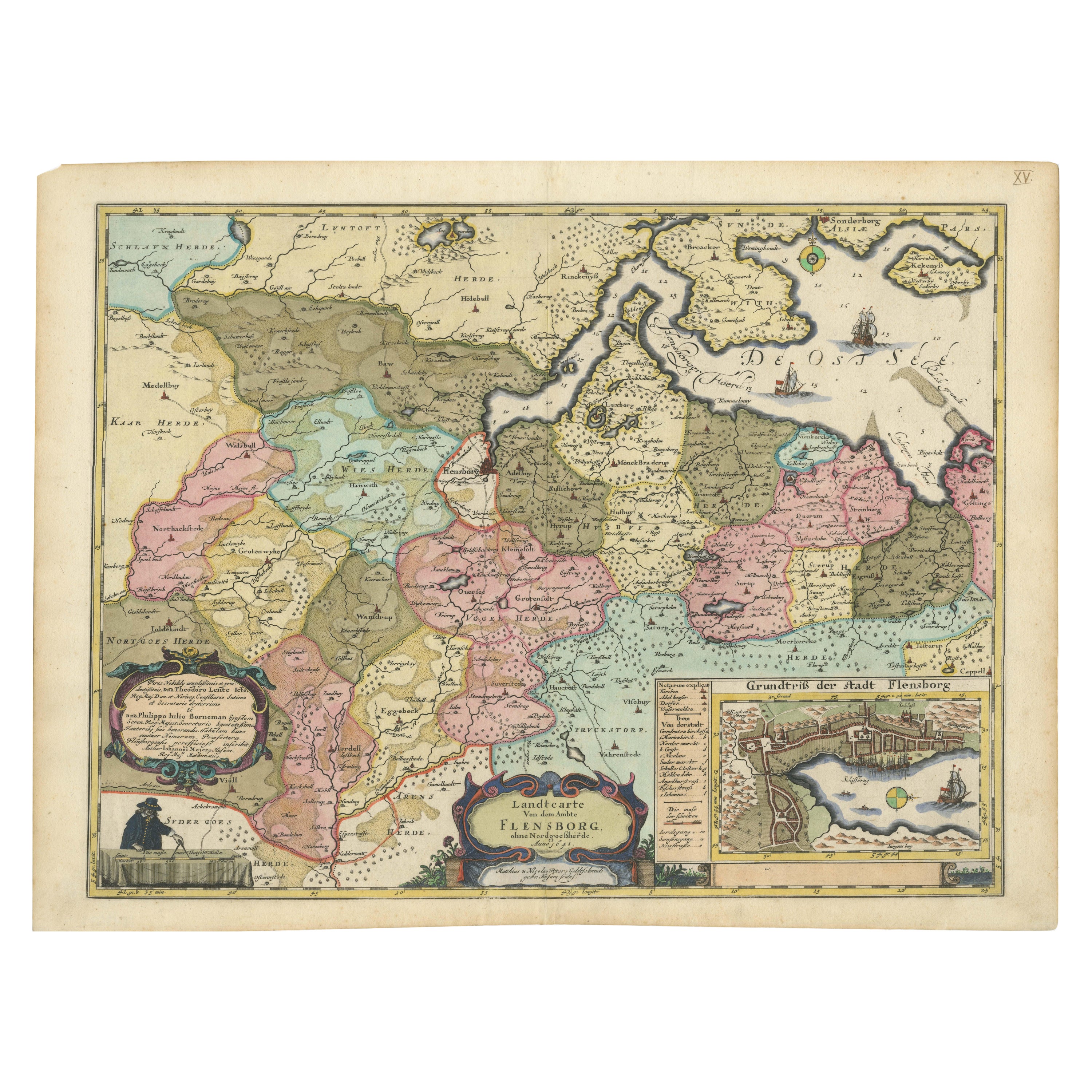
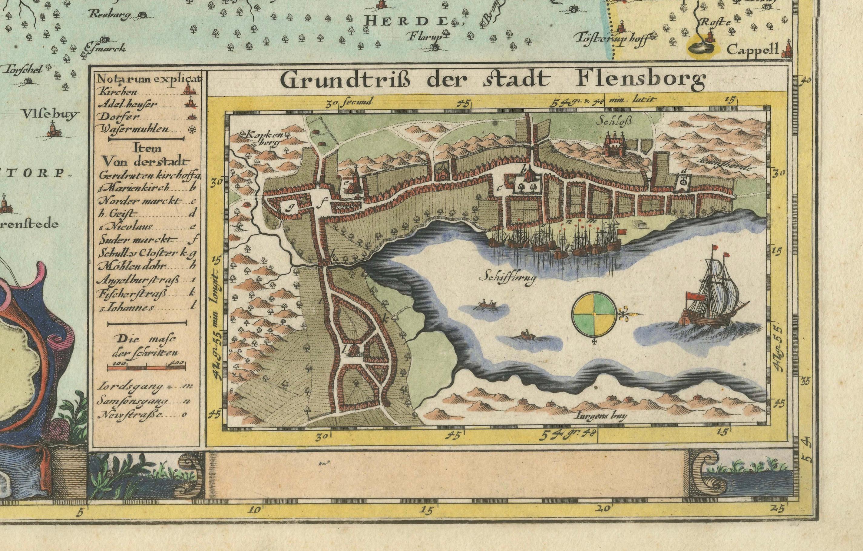
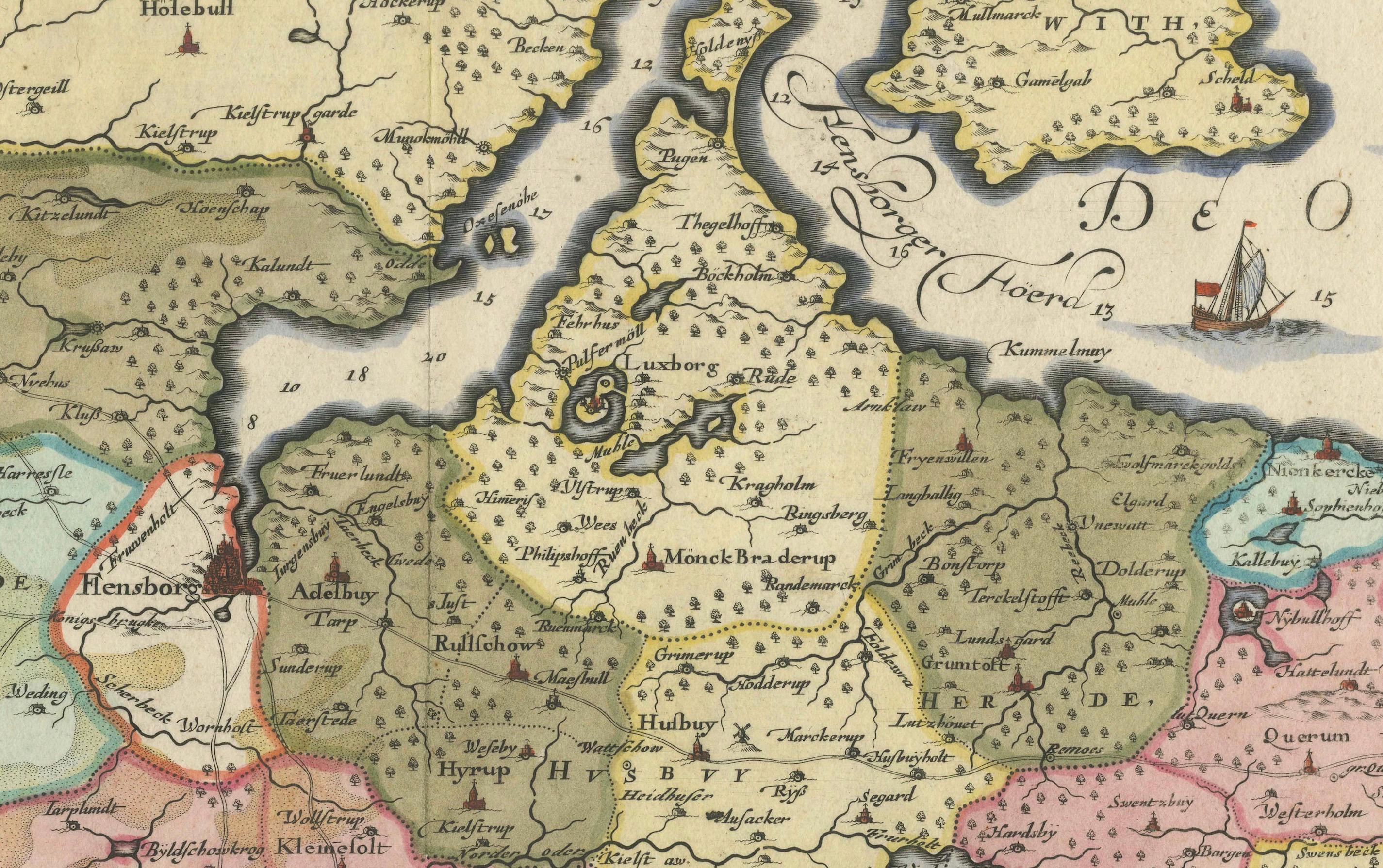
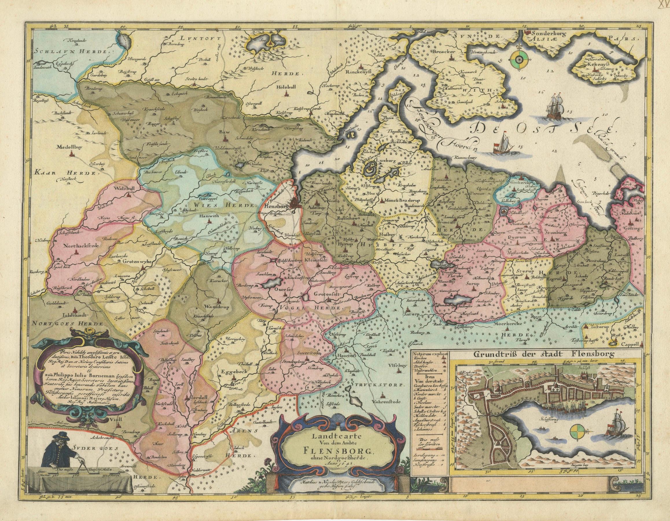
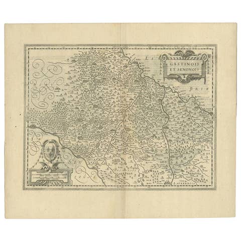
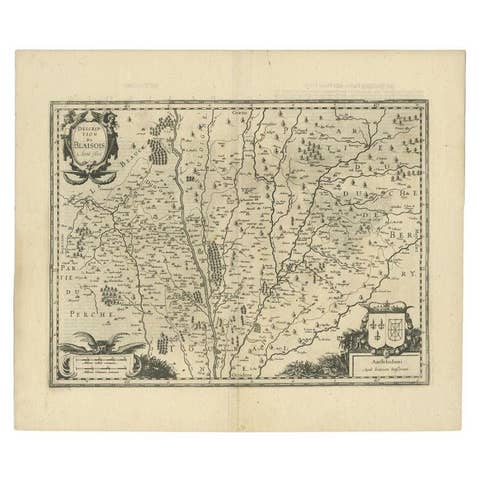
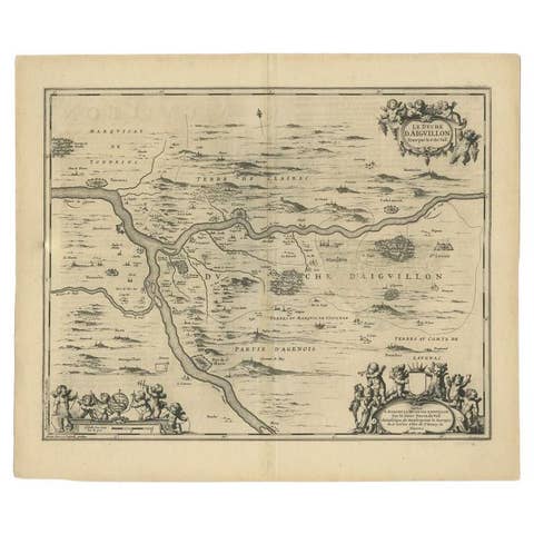
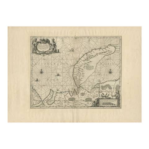
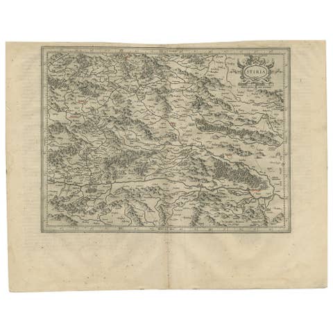
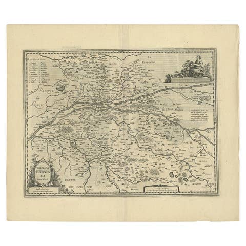
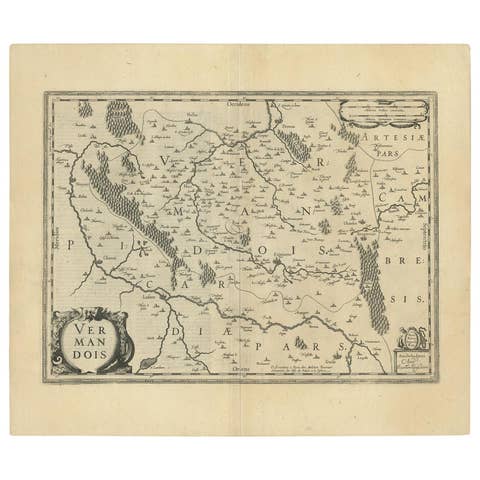
Cartographic Depiction of Flensburg and Surrounding Territories, Anno 1648
€ 1 240
One of a kind: this is the sheet in the photographs. Ships from Langweer, the Netherlands.
Date
1648
Sheet size
47 × 62.5 cm (18.5 × 24.6 in)
Reference
BG-13673-4
Condition
very good to excellent, given age. Fold as published, but flattened. General age-related toning and/or occasional minor defects from handling. Please study scans carefully.
About this sheet
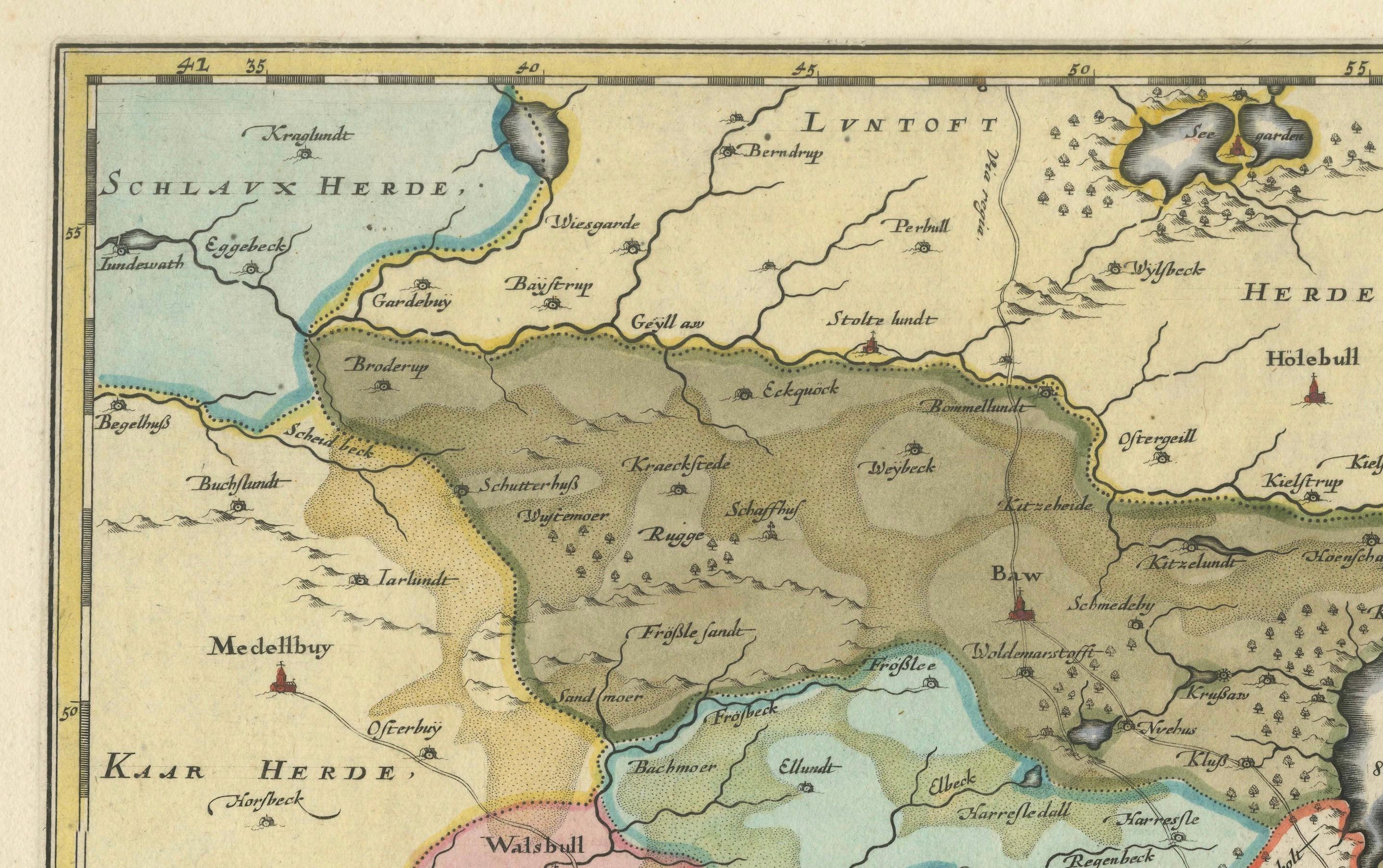
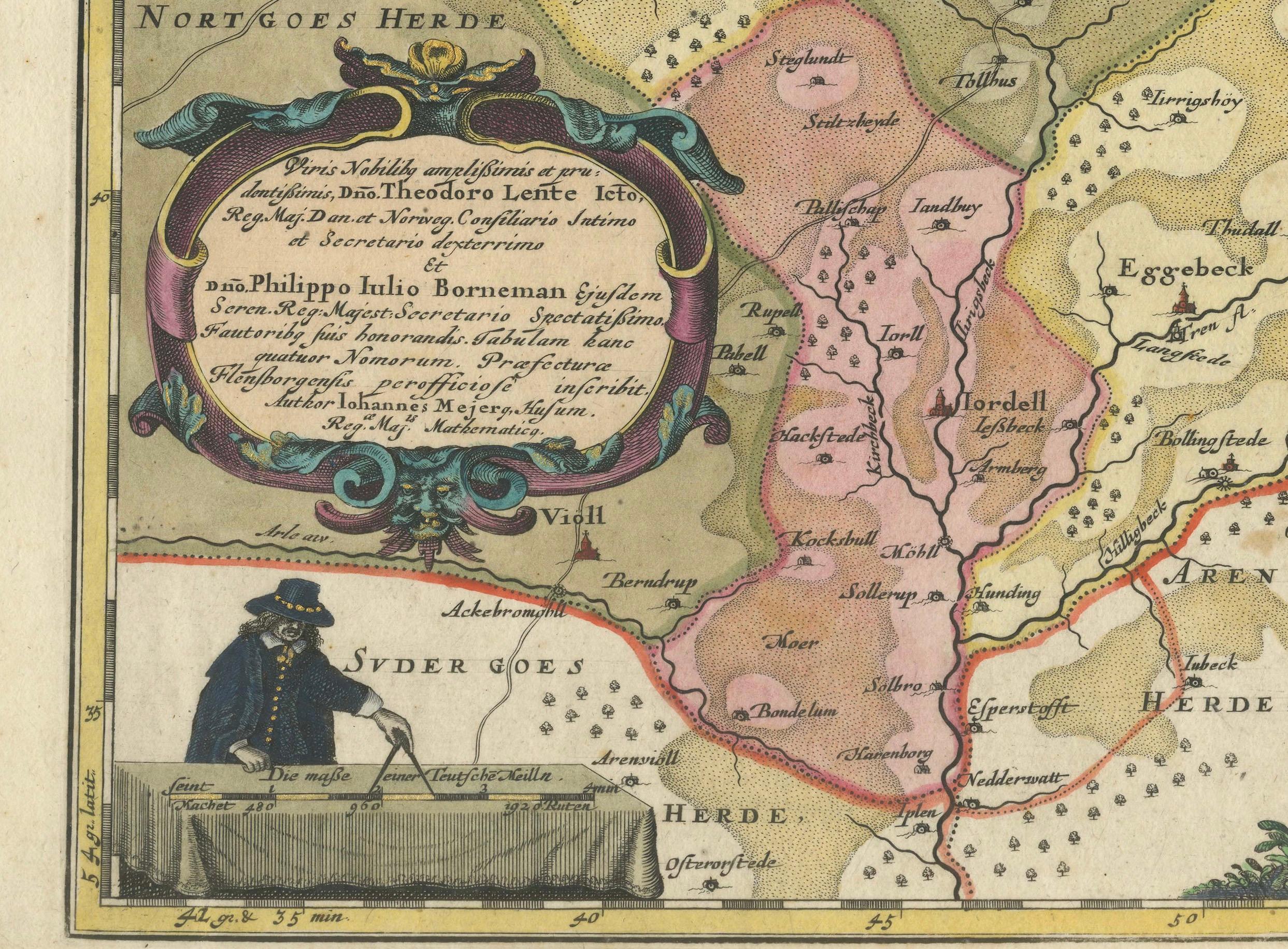
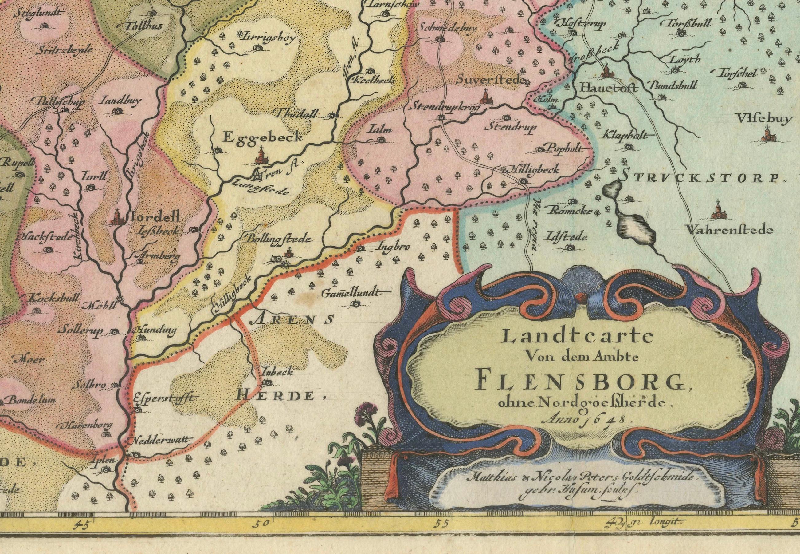
This exquisitely detailed and old coloured map of Flensburg was crafted by the noted cartographer Johannes Mejer (1606 - †1674) and published in Husum by Matthias and Claus Petersen in 1652.
It features a meticulously detailed plan of Flensburg, complemented by two artistically coloured cartouches and depictions of sailing ships, adding a vivid maritime touch to the map.
The map is part of Caspar Danckwerth's esteemed atlas "Newe Landesbeschreibung Der Zwey Hertzogthümer Schleswich und Holstein," renowned for its comprehensive coverage of these duchies. Later, this plate was acquired by the Blaeu family and included in the prestigious Atlas Major.
Cartographer:
Johannes Mejer, an eminent geographer and mathematician born in Husum in 1606, dedicated a decade (1638-1648) to mapping the regions of Schleswig and Holstein. His substantial contributions to cartography are preserved in the pages of Danckwerth's Atlas, which first published these maps in 1652. The copper plates used for these maps were later sold to J. Blaeu, who reissued them in his renowned "Atlas Major." Johannes Mejer's work remains a vital reference for historical geography, reflecting the precision and skill of 17th-century mapmaking. He passed away in 1674.
Specifications:
- Cartographer: Johannes Mejer - Published by: Petersen, Husum, 1652 - Plate Size: 42.6 x 56.5 cm (16.8 x 22.2 inches) - Sheet Size: 46.0 x 59.5 cm (18.1 x 23.4 inches)
This map not only serves as a historical artifact but also as a testament to the rich maritime and territorial history of the Flensburg area during the mid-17th century. Its artistic and geographical precision makes it a valuable collector's item for both historians and cartography enthusiasts.