About this sheet
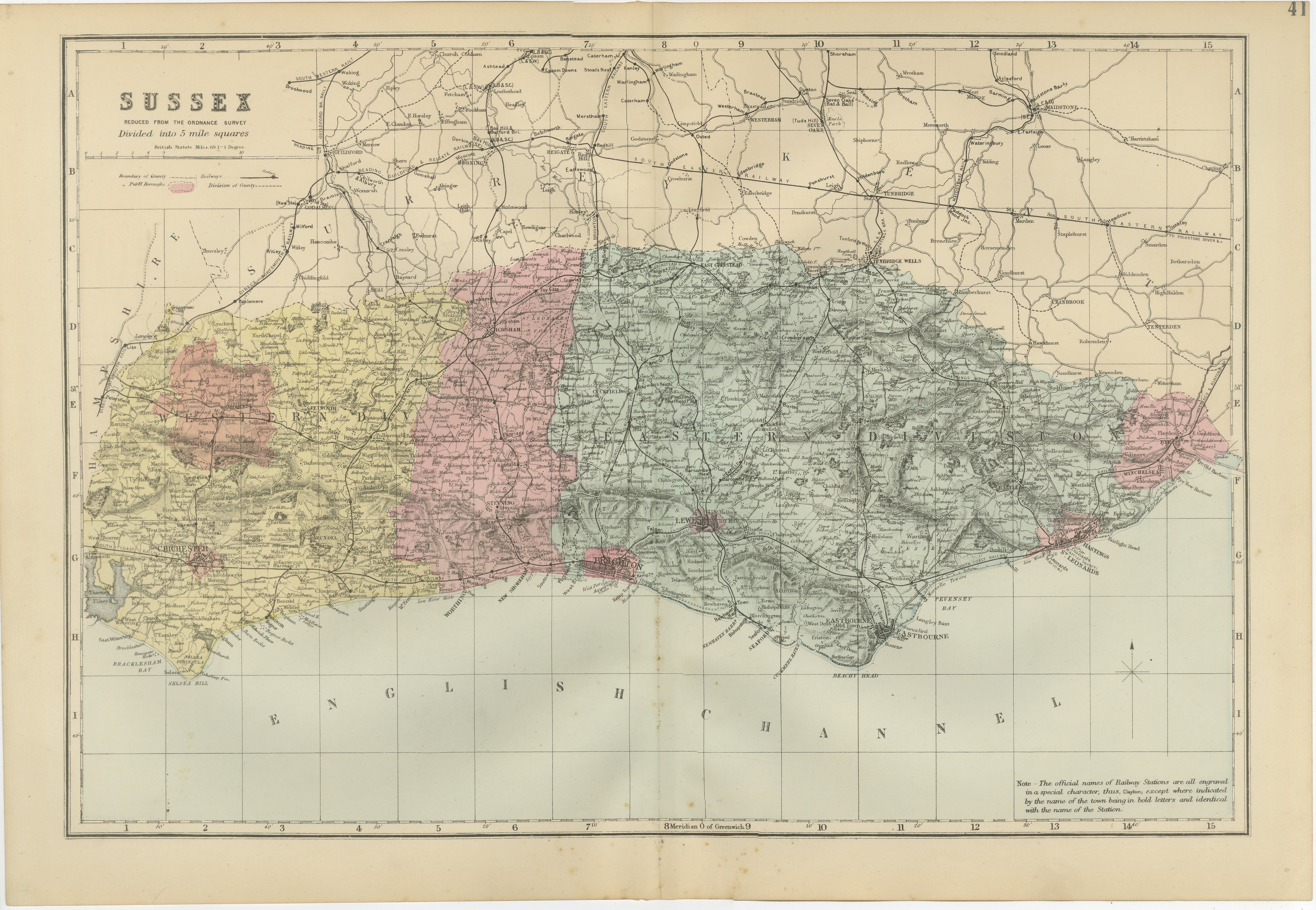
Antique Sussex Map, Brighton "London-by-the-Sea", Edward Weller 1885
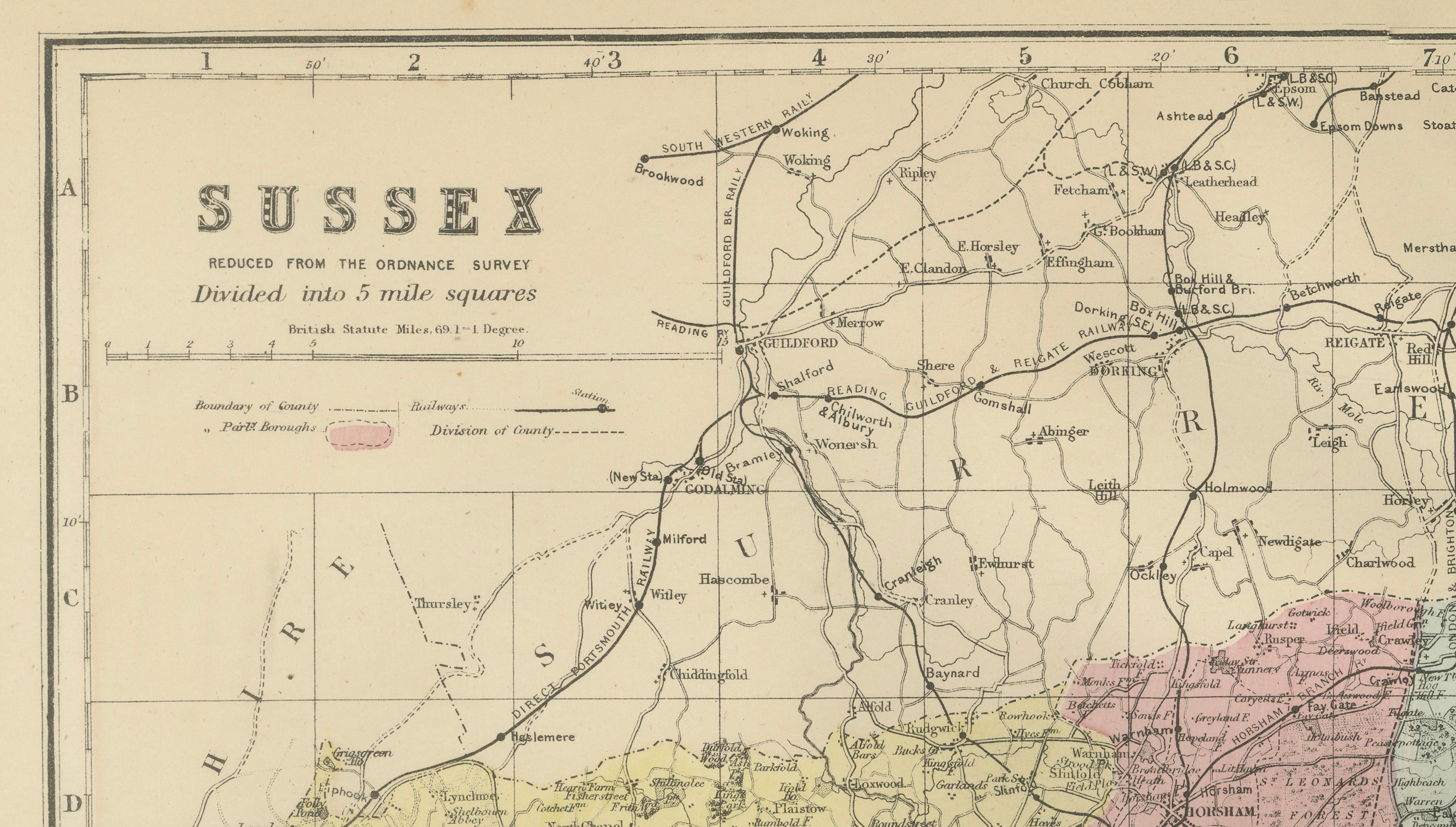
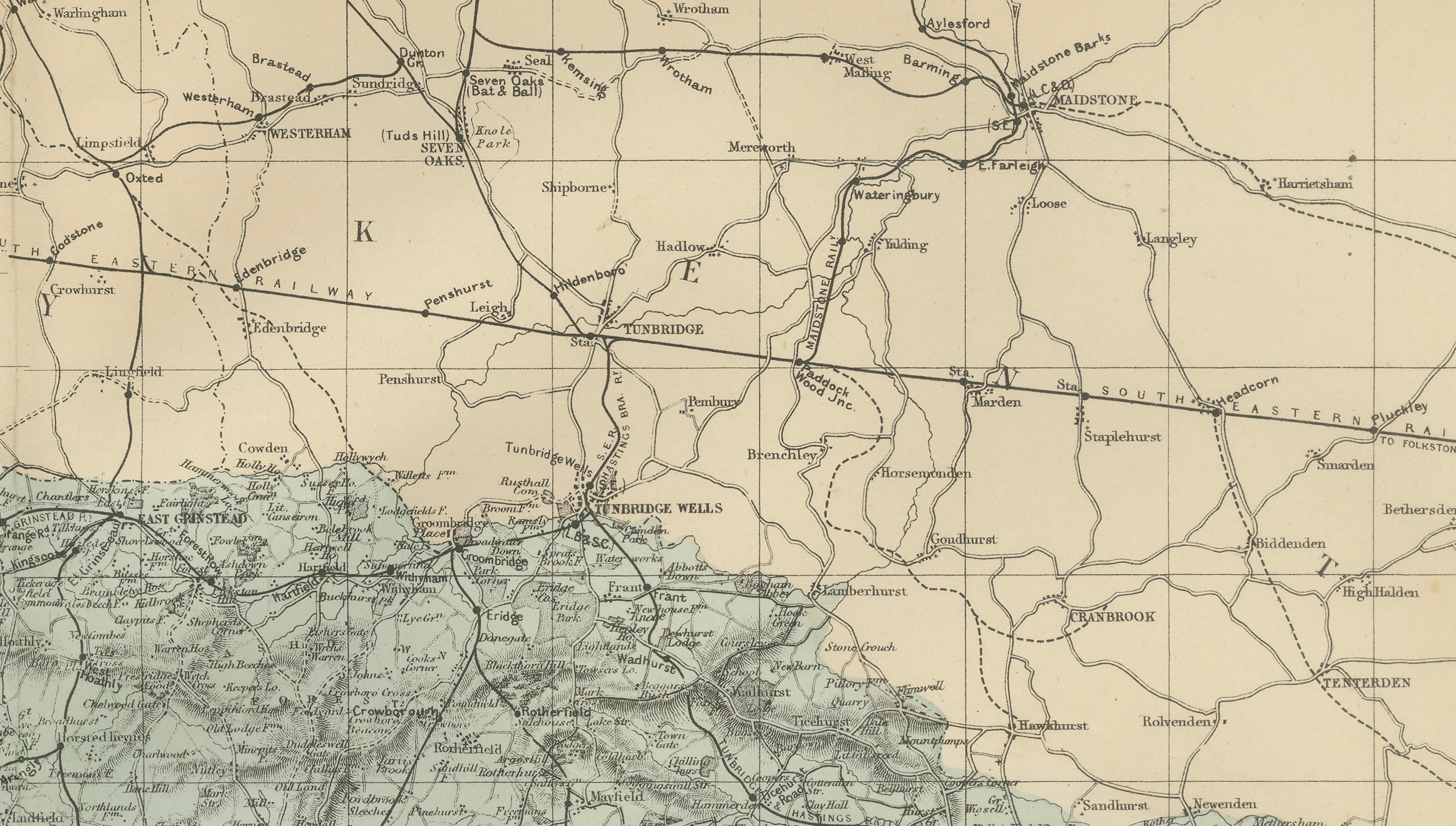
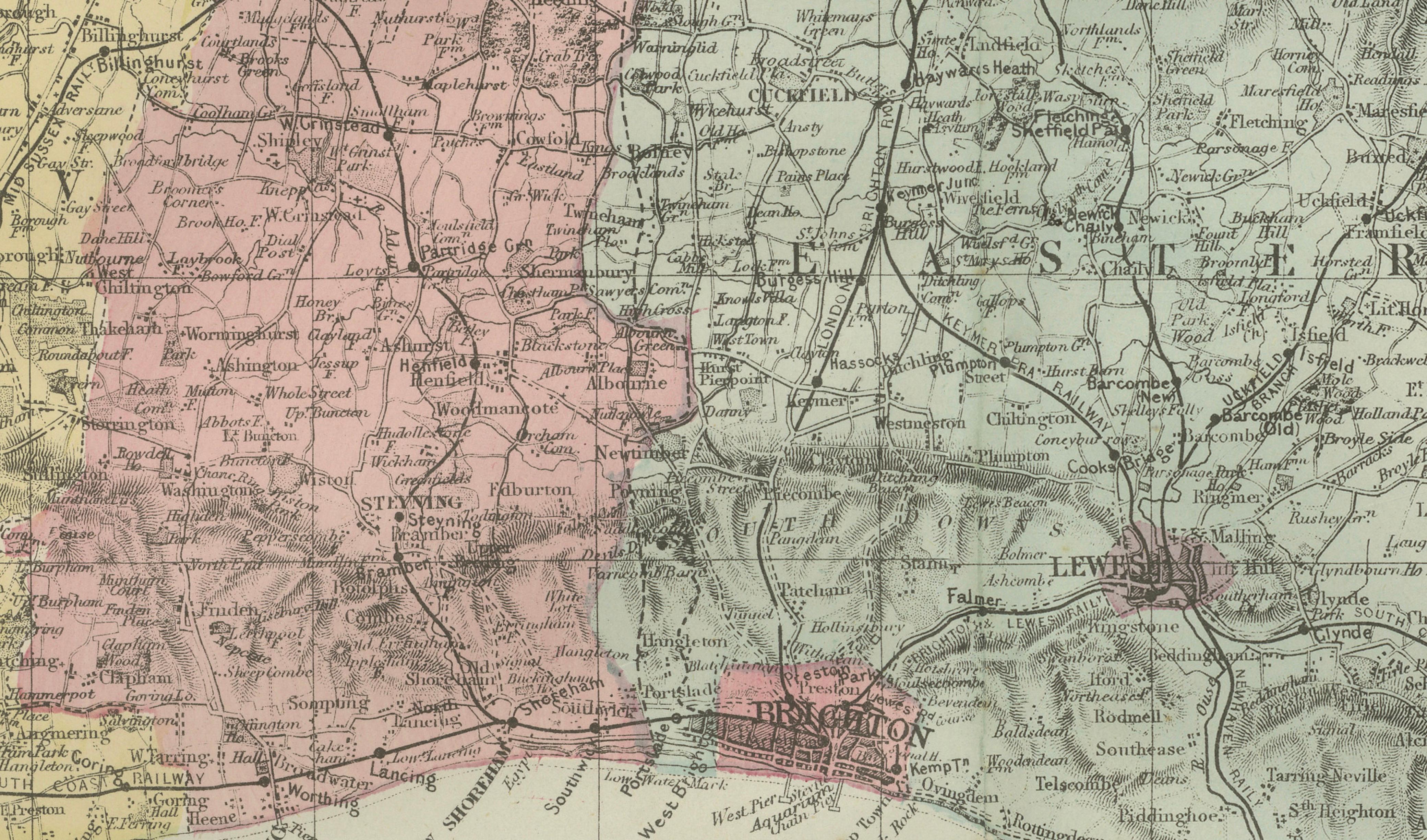
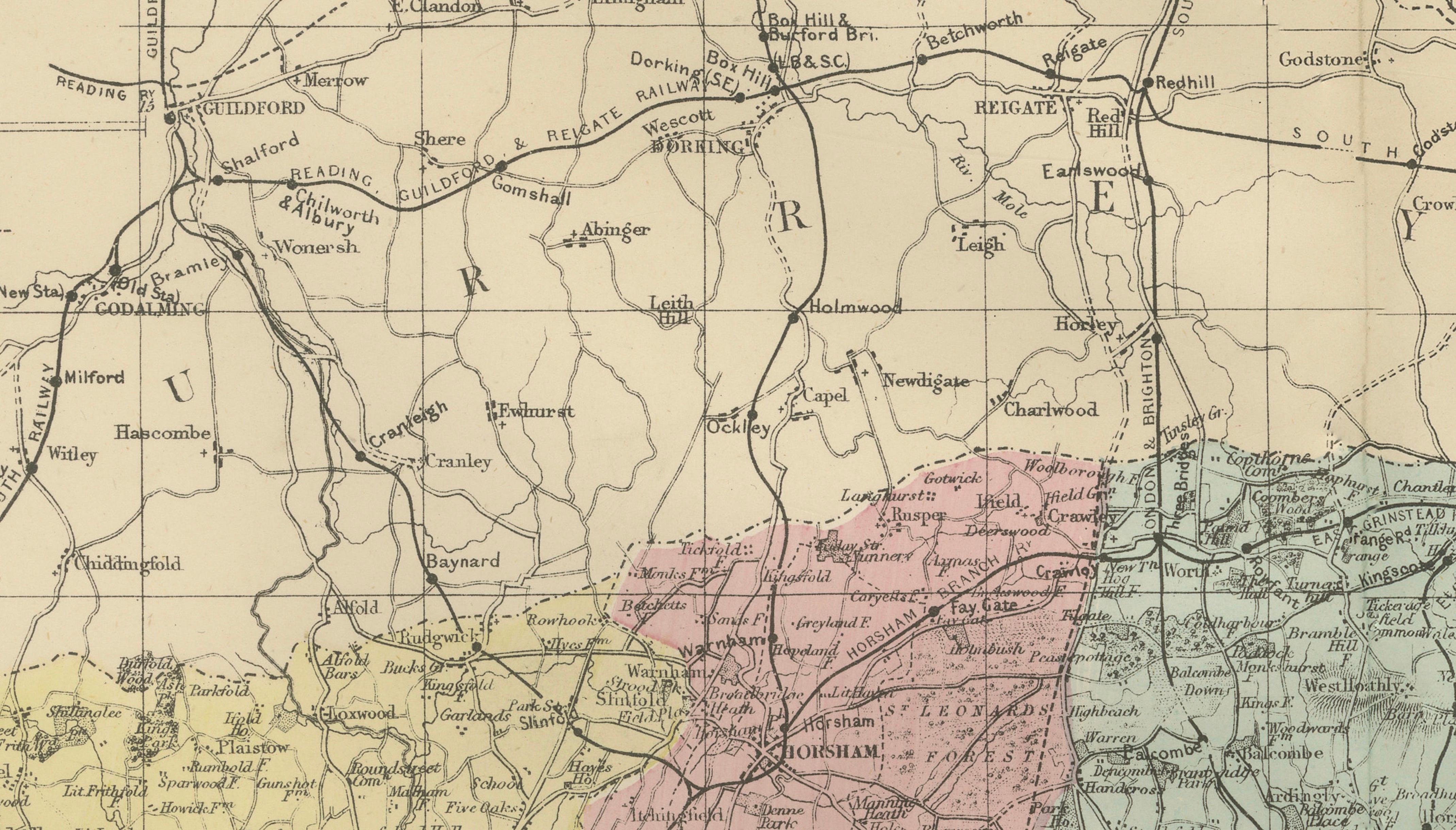
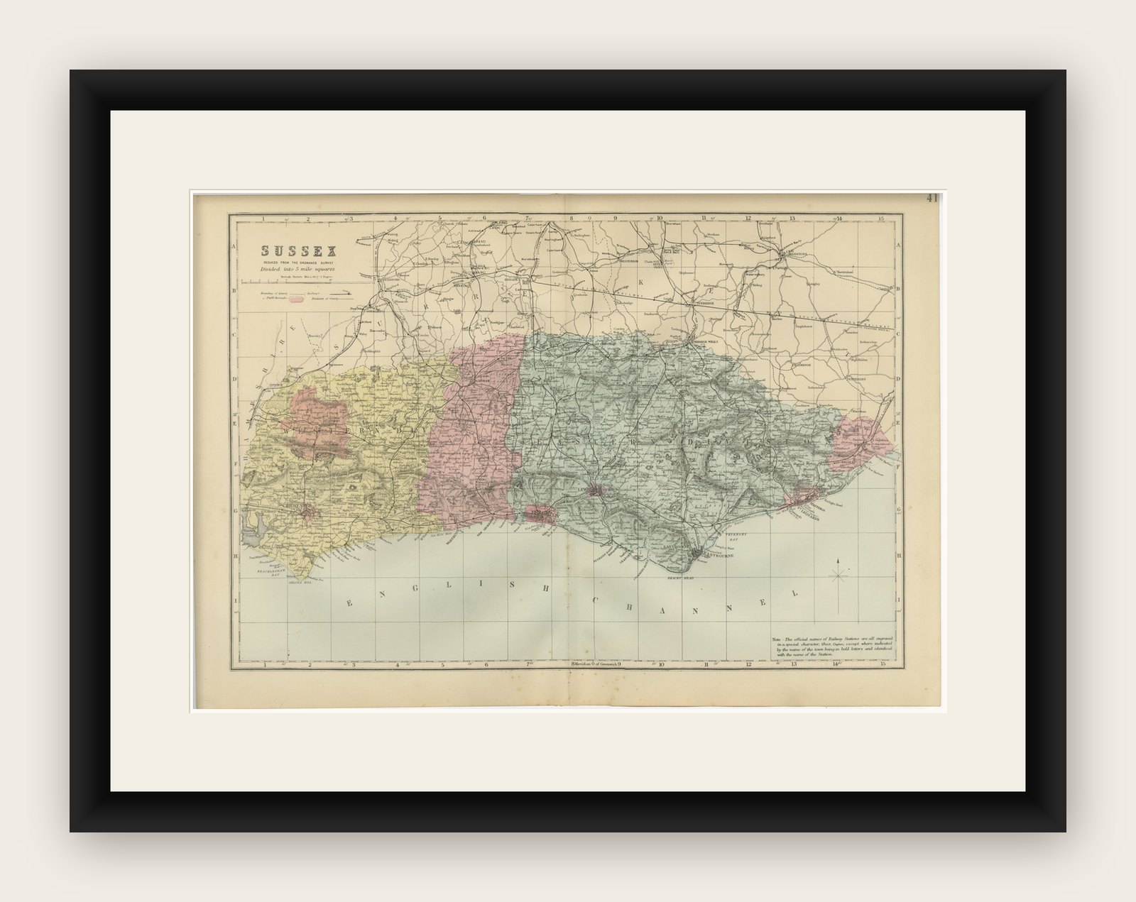
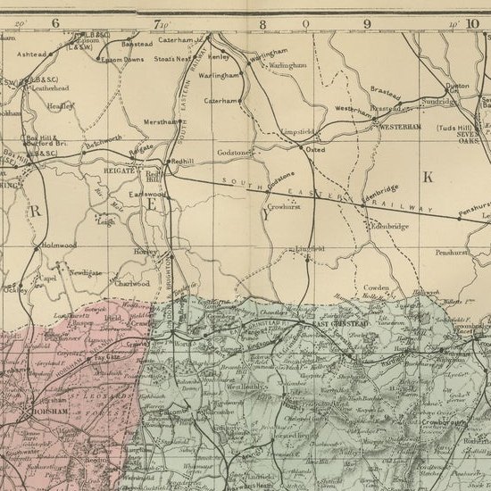
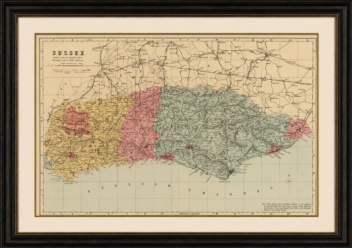
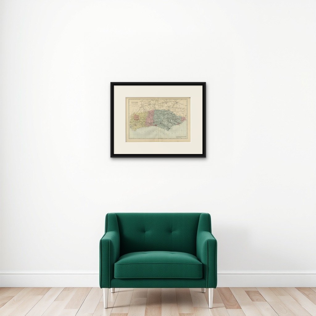
This attractive original Victorian county map of Sussex was engraved and published by Edward Weller in London in 1885. Based on the Ordnance Survey, it presents a highly detailed depiction of the historic county during the late nineteenth century, capturing the landscape, towns, railways, roads, and administrative divisions of one of England's most celebrated coastal counties.
The map combines geographical precision with delicate original hand coloring that highlights borough and administrative boundaries. Weller was among the most respected cartographers of the Victorian era, and this map demonstrates the clarity and accuracy for which his work became renowned. Every railway line, market town, village, river, and coastal feature is carefully recorded, creating both an important historical document and a highly decorative work of cartographic art.
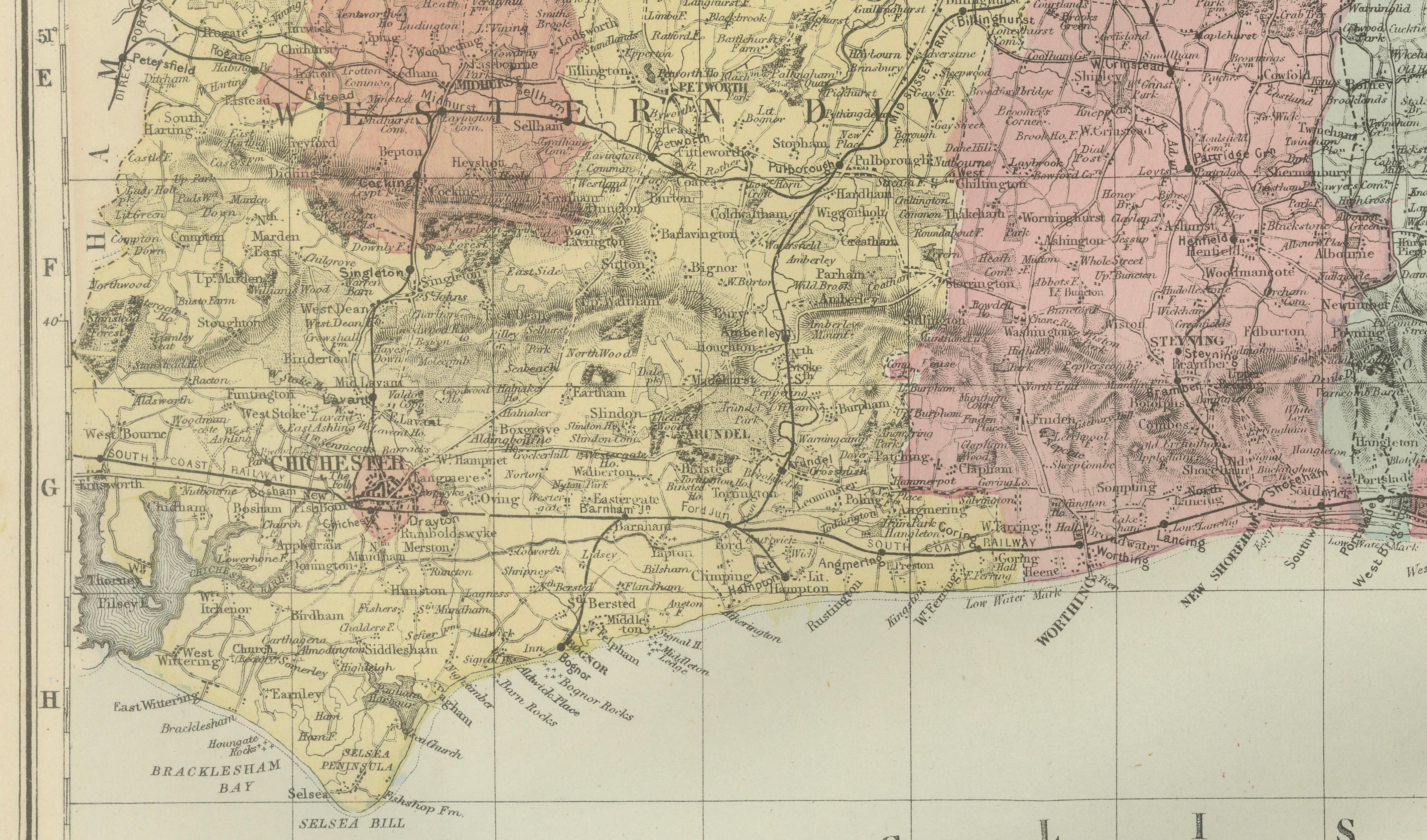
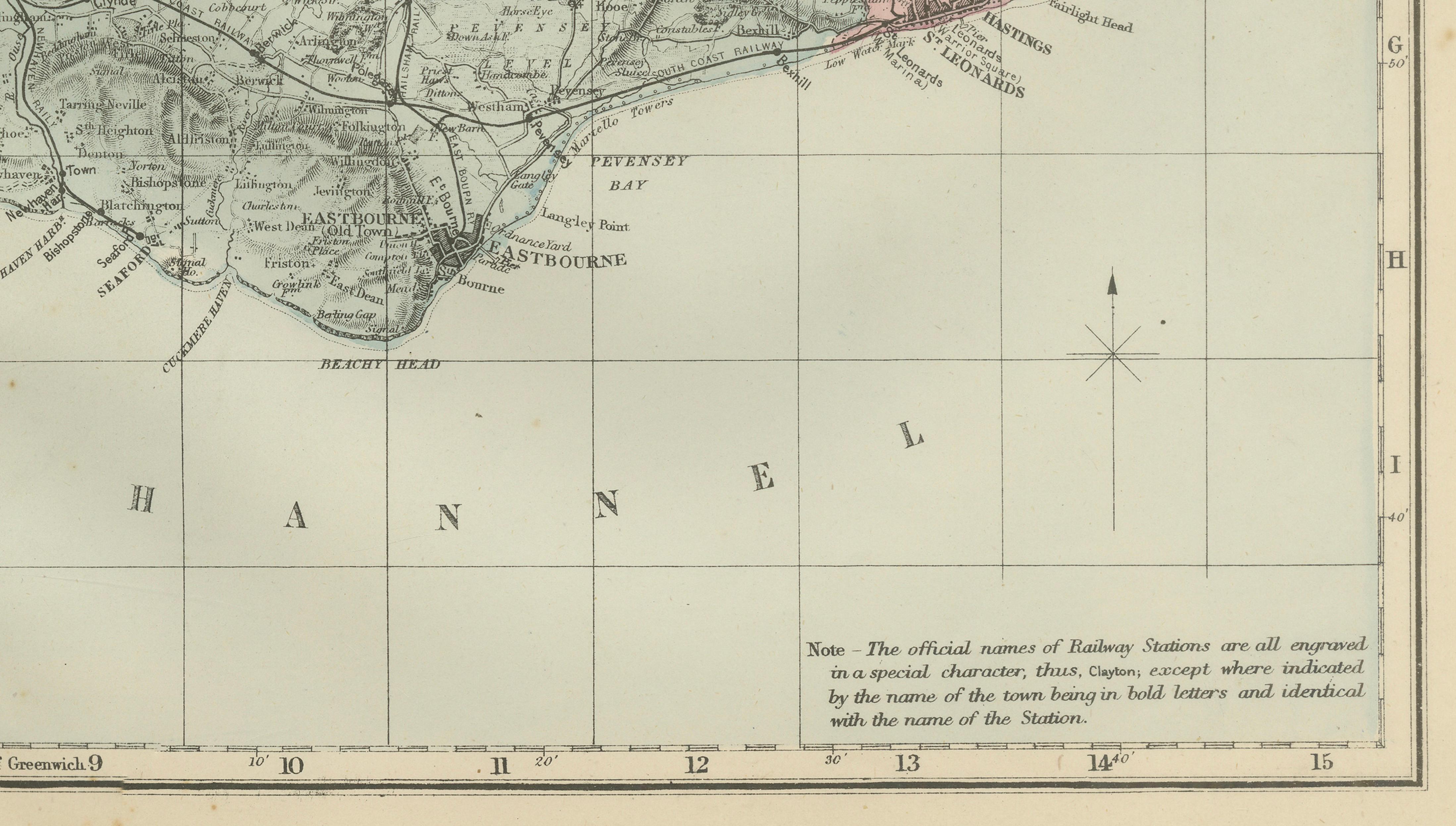
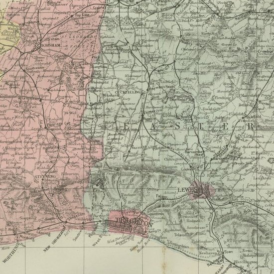
The map covers the entire historic county of Sussex from Chichester in the west to Rye and the Kent border in the east. Along the famous English Channel coastline appear many of the county's most important seaside resorts and ports, including Brighton, Hove, Eastbourne, Hastings, Rye, Bognor, Littlehampton, Shoreham-by-Sea, and Newhaven. During the Victorian period these towns flourished as fashionable holiday destinations, attracting visitors from London and throughout Britain.
Prominent inland towns include Lewes, the historic county town of Sussex; Arundel, dominated by its famous castle; Horsham; Midhurst; Petworth; Uckfield; and numerous villages scattered throughout the South Downs countryside. The map clearly illustrates the rolling chalk hills of the South Downs, one of England's most iconic landscapes, stretching across much of the county from Winchester's eastern approaches toward Eastbourne and Beachy Head.
Historic landmarks and geographic features shown include Brighton, often referred to as "London-by-the-Sea"; Arundel Castle; the South Downs; Beachy Head; Seven Sisters cliffs; Hastings, associated with the Norman Conquest of 1066; Rye, one of the historic Cinque Ports; Chichester Harbour; and the River Ouse. The expanding Victorian railway network is prominently depicted, reflecting the transformation of Sussex into one of England's most accessible coastal destinations.
Today Sussex remains one of England's most desirable and historically rich counties. This map provides a fascinating snapshot of the region before modern development, preserving the historic geography of towns, villages, and transportation routes that helped shape the county's identity.
This original antique map appeals to collectors of British county maps, coastal history, railway history, genealogy, Sussex memorabilia, and Victorian cartography. It also makes an elegant decorative statement for a study, library, office, or coastal residence.
Framing Tips: This map displays beautifully in a dark walnut, black, or mahogany frame with an ivory museum mat. The subtle original hand coloring and coastal subject matter make it particularly suitable for both traditional and contemporary interiors.
This is an original 19th-century lithograph, not a reproduction. The print is sold unframed; any framed images are shown for presentation and interior inspiration only.