Maps & PrintsBartele Gallery · Langweer
Home / Antique Maps / Europe / Europe as a Whole

Europe as a Whole · 16th century

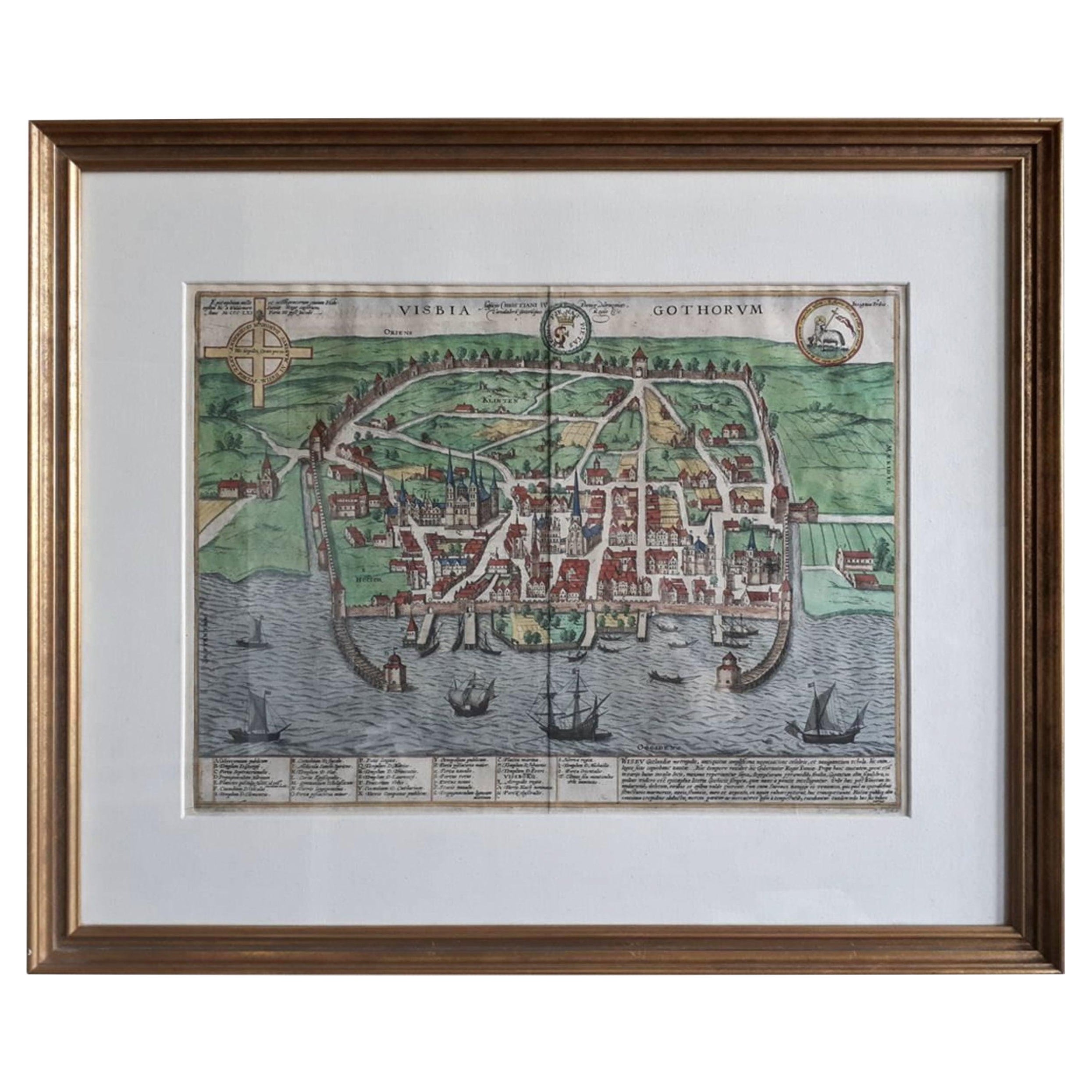
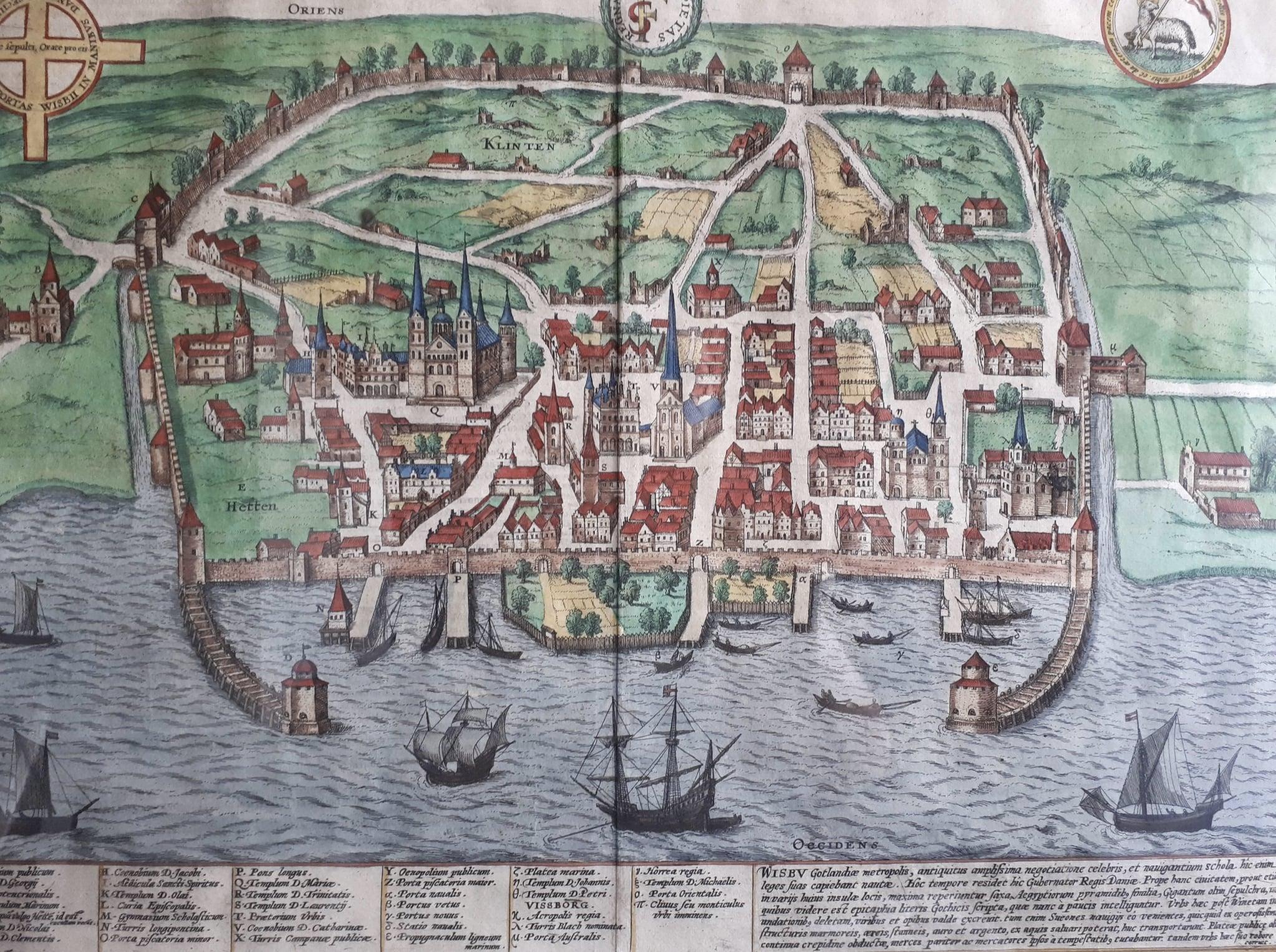
Antique Map of the City of Visby 'Sweden' by F. Hogenberg, 1598

€ 2 450

One of a kind: this is the sheet in the photographs. Ships from Langweer, the Netherlands.

Date
1598
Sheet size
58.5 × 71 cm (23.0 × 28.0 in)
Condition
Good
Reference
BG-07194

Condition

Good condition, frame included (some minor defects). Please study image carefully.
About this sheet

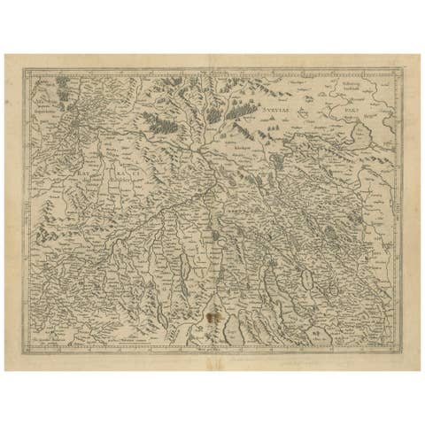
This is a wonderful bird's-eye plan/view of the oldest city in Sweden.

Visby, the largest city on the island of Gotland was an important Viking city and the main centre of the Hanseatic League in the Baltic from the 12th-14th century. The characteristic ringwall (Ringmuren) and protected harbour are well depicted. A key at bottom provides the locations of the major buildings.
Rare original map of the 16th century - professionally framed.

More from Europe as a Whole

Ask about this sheet

Antique Map of the City of Visby 'Sweden' by F. Hogenberg, 1598
1598 · Ref. BG-07194 · € 2 450
We reply by email, usually within one working day.