About this sheet
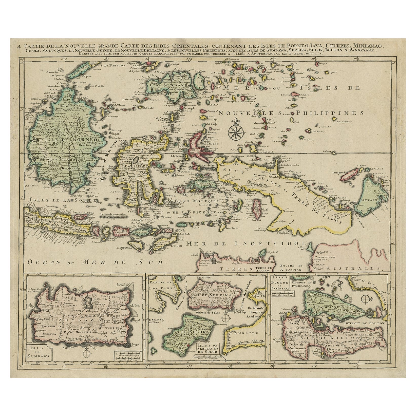
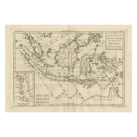
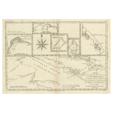
Antique map titled 'Partie de la Nouvelle Grande Carte des Indes Orientales, contenant les Isles de Borneo, Iava, Celebes, Mindanao (..)'.
Detailed map of the Indonesian islands Borneo, Celebes, New Guinea and New Britain, as well as part of Java (Indonesia). Some of the smaller islands include Bali, Lombok, Timor and Madura. Three inset maps in the lower edge depict Pulau Sumbawa, the Solor Islands Adonara (here Serbira) and Solor, and Pulau Muna (here Pangesane) and Bouton. One of the four sheets of Elwe's map of South East Asia, based on Jaillot's work, ca. 100 years ealier. Published in Amsterdam.
Artists and Engravers: Cartographer: Jan Barend Elwe. Jan Barend Elwe (1774-1815), an Amsterdam bookseller.
Condition: Good, original/contemporary hand coloring. Repair on folding line. Shows some creasing. General age-related toning, minor wear. Blank verso, please study image carefully.