Maps & PrintsBartele Gallery · Langweer
Home / Antique Maps / Asia / South-East Asia / East Indies

East Indies · 18th century

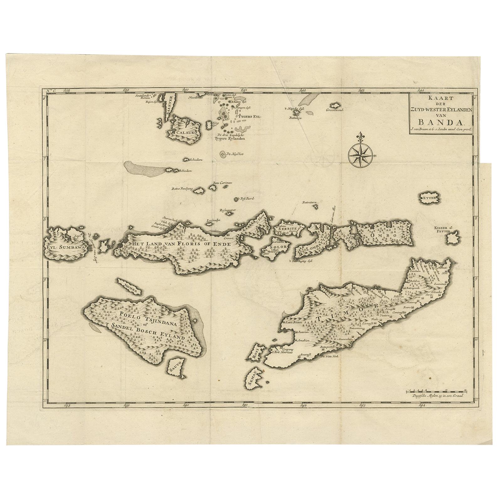
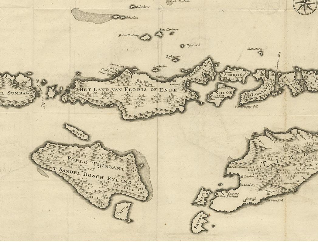
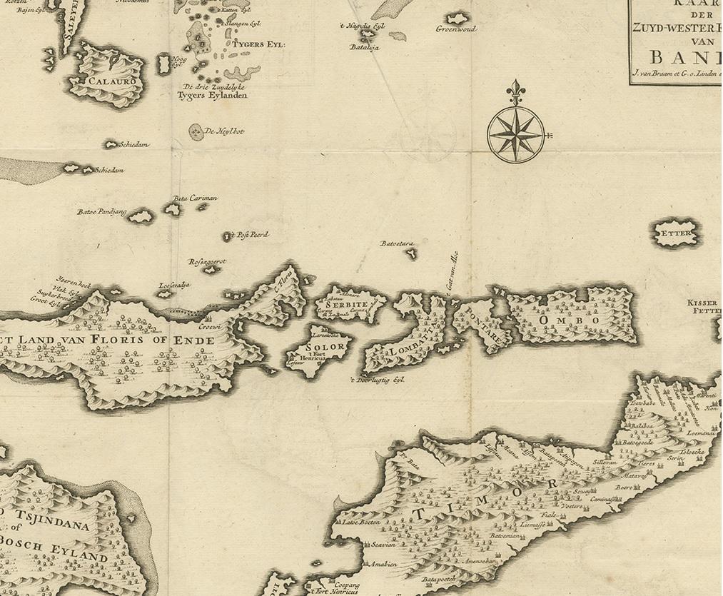
Antique Map of the Banda Islands in Indonesia by Valentijn, 1726

€ 362

One of a kind: this is the sheet in the photographs. Ships from Langweer, the Netherlands.

Date
1726
Technique
Engraved
Sheet size
41.5 × 51.5 cm (16.3 × 20.3 in)
Condition
Good
Reference
BG-04172

Condition

Minor structural damages. Original folding lines, some creasing of the paper. Upper right margin trimmed. Please study images carefully.
About this sheet

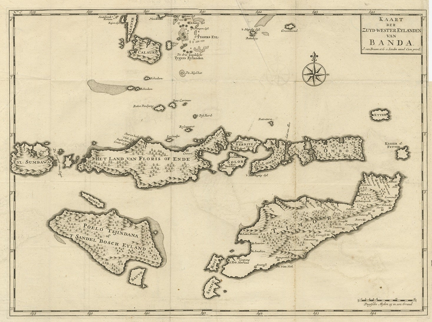
Antique map Indonesia titled 'Kaart der Zuyd-Wester Eylanden van Banda'. Map of the islands in the southwestern part of the Banda Sea including Sumba, Flores and Timor. This map originates from 'Oud en Nieuw Oost-Indiën' by F. Valentijn.

More from East Indies

Ask about this sheet

Antique Map of the Banda Islands in Indonesia by Valentijn, 1726
1726 · Ref. BG-04172 · € 362
We reply by email, usually within one working day.