Maps & PrintsBartele Gallery · Langweer
Home / Antique Maps / Asia / South-East Asia / East Indies

East Indies · 18th century

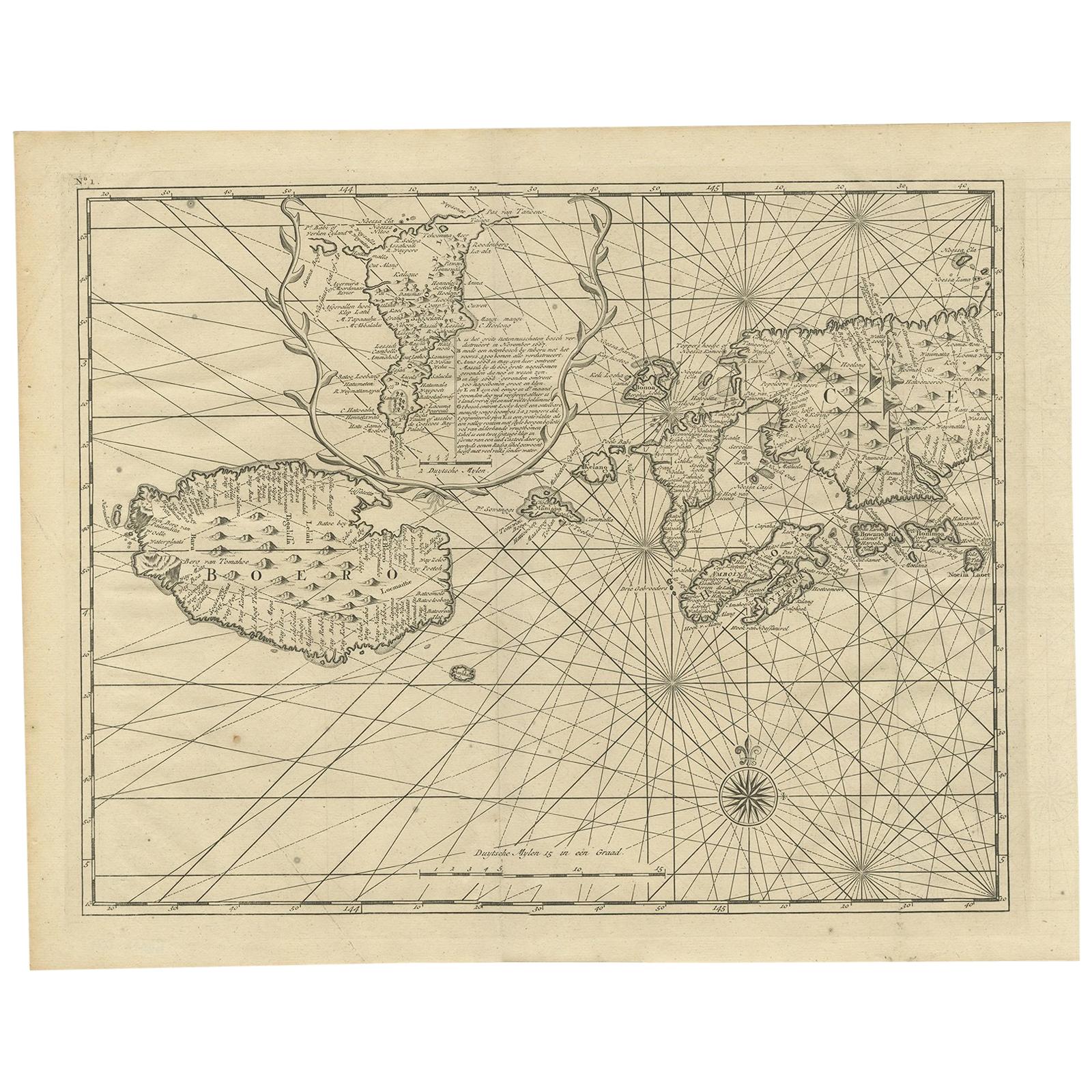
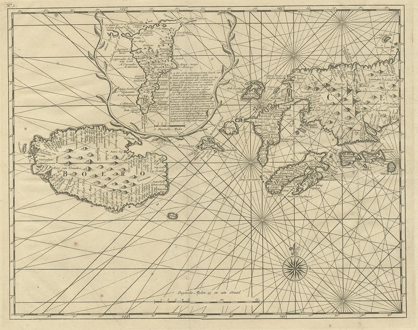
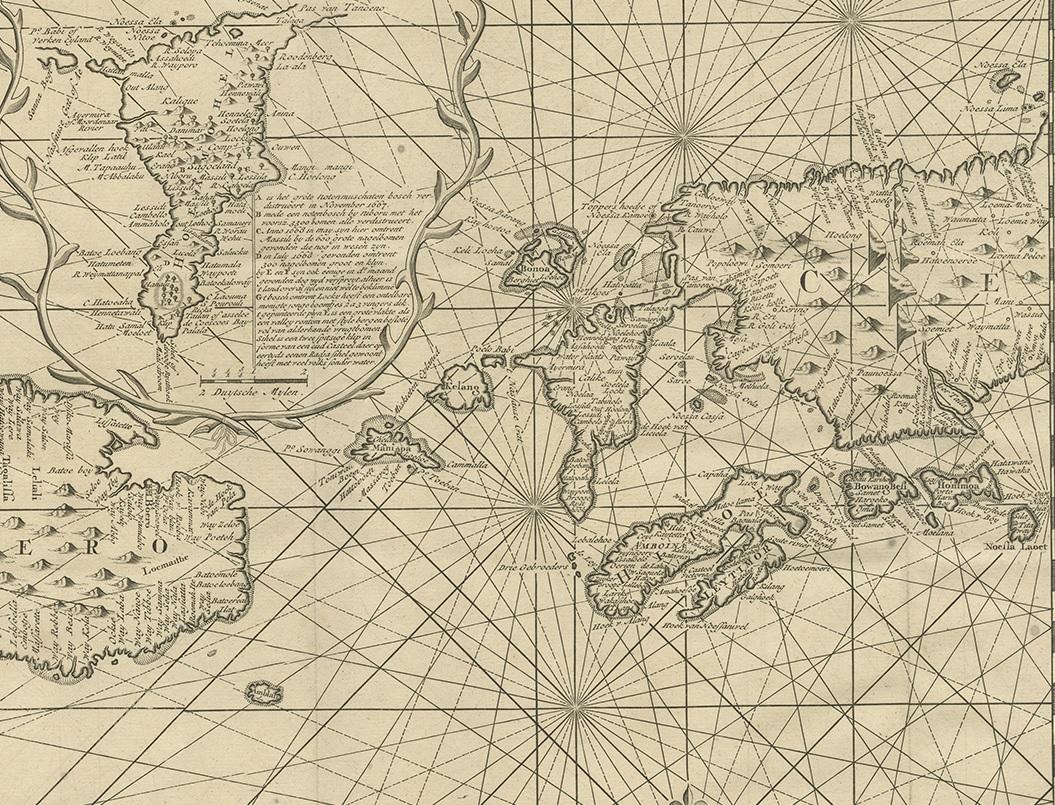
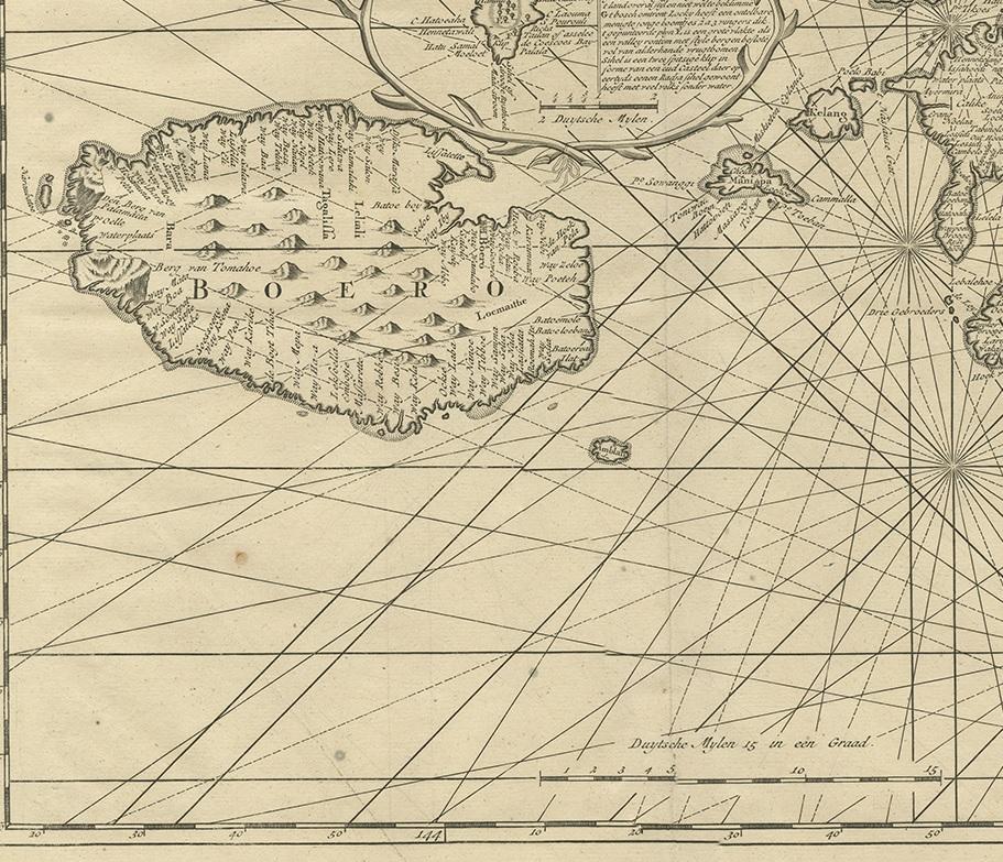
Antique Map of Ambon and Boero by Valentijn, 1726

€ 500

One of a kind: this is the sheet in the photographs. Ships from Langweer, the Netherlands.

Date
1726
Mapmaker / artist
F. Valentijn (Artist)
Sheet size
34 × 42.5 cm (13.4 × 16.7 in)
Condition
Good
Reference
BGRN-031

Condition

General age-related toning and minor foxing. Please study images carefully.
About this sheet

Untitled map of the western part of the island Amboina with Boero, Indonesia. This print originates from 'Oud en Nieuw Oost-Indiën' by F. Valentijn.

More from East Indies

Ask about this sheet

Antique Map of Ambon and Boero by Valentijn, 1726
1726 · Ref. BGRN-031 · € 500
We reply by email, usually within one working day.