Maps & PrintsBartele Gallery · Langweer
Home / Antique Maps / Asia / East Asia / China

China · 18th century

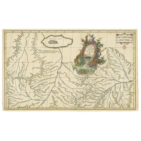
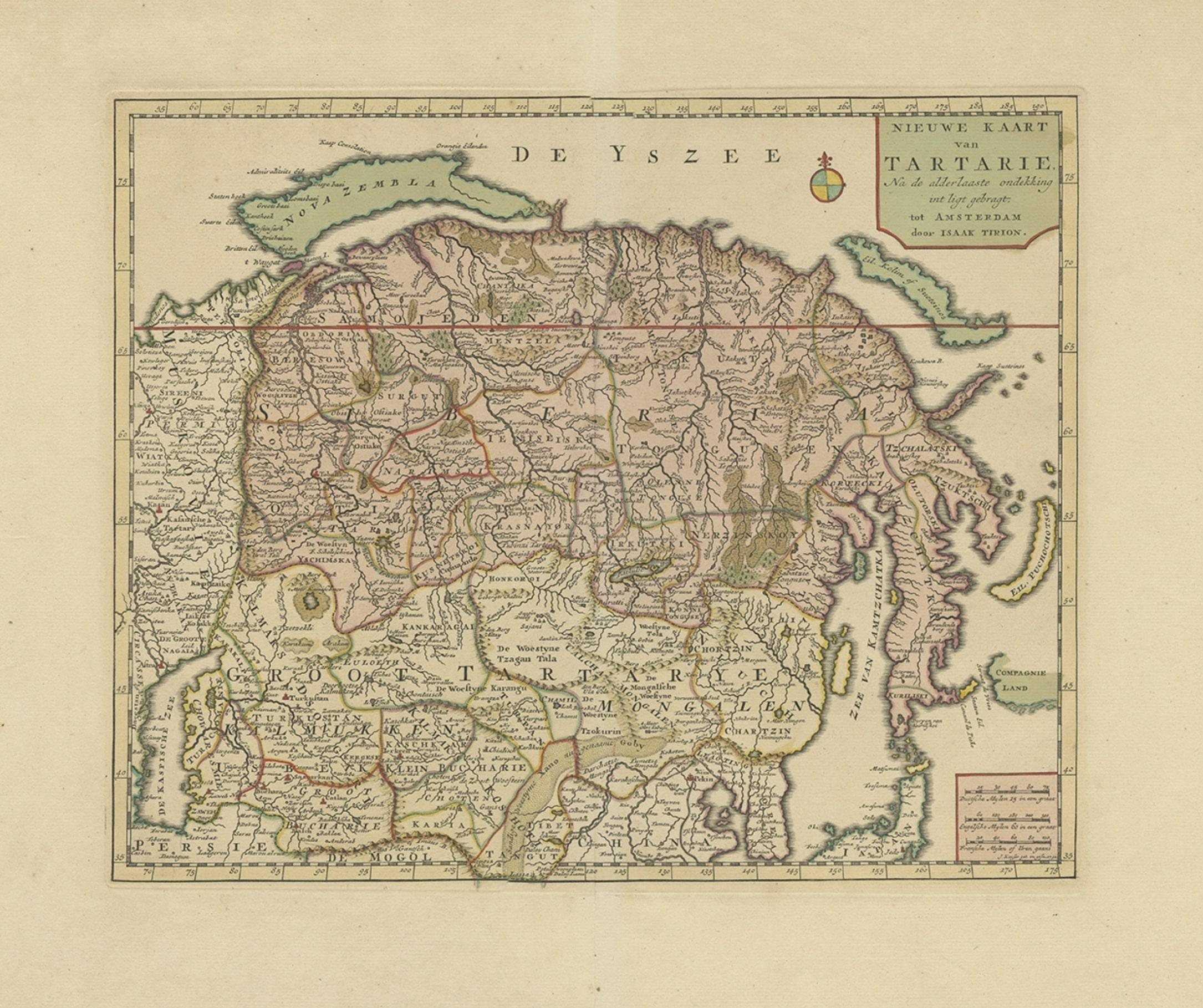
Antique Map of Siberia and Chinese Tartary, Incl Nova Zembla, ca.1732

€ 860

Original antique · The actual sheet photographed · Certificate of authenticity on request · Sold unframed · Worldwide shipping from € 15 (rates)

Date
1732
Sheet size
43 × 55 cm (16.9 × 21.7 in)
Condition
Good
Reference
BG-04691

Condition

Very good, contemporary hand coloring. General age-related toning and vertical folding line as issued. Please review the images for further condition details.
About this sheet

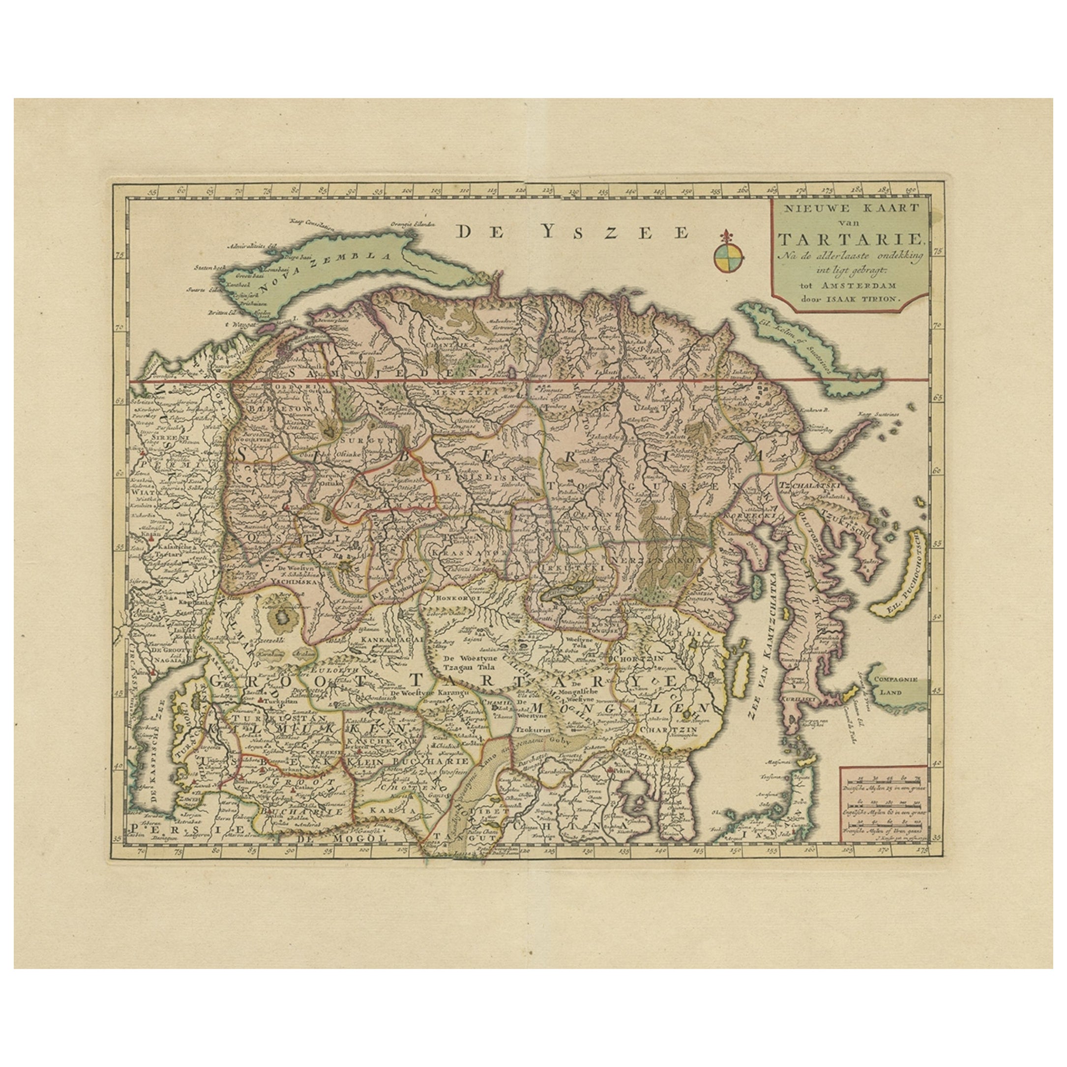
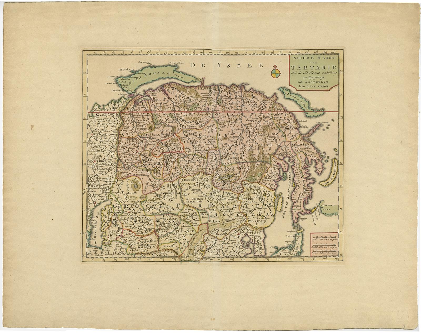
Antique map of Tartary titled 'Nieuwe Kaart van Tartarie na de alderlaatste ondekking int ligt gebracht tot Amsterdam door Isaak Tirion'.

Map op Siberia and Chinese tartary. In the north Novaya Zemlya curls back to attach itself to the mainland by a narrow isthmus. In the east Kamchatka reaches down almost to Japan.

Artists and Engravers: Isaak Tirion, a Dutch publisher in Amsterdam, was born 1705. He produced serveral Atlases and Dutch town plans. The maps mainly based on those of Guillaume de l'Isle.

More from China

Ask about this sheet

Antique Map of Siberia and Chinese Tartary, Incl Nova Zembla, ca.1732
1732 · Ref. BG-04691 · € 860
We reply by email, usually within one working day.