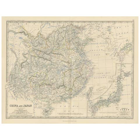
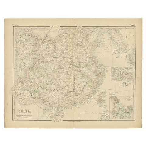
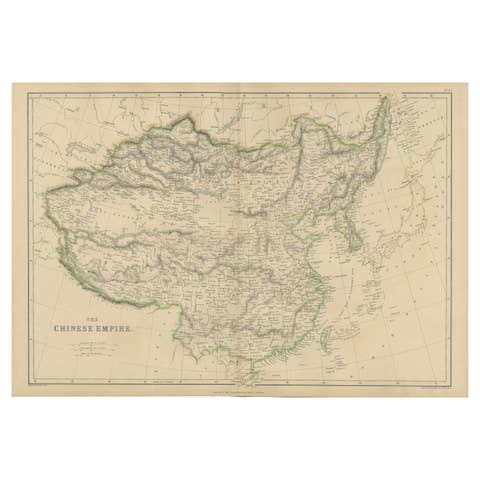
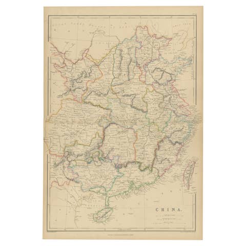
Johnson’s China Map with Canton Inset, USA Published c.1864 – Hand-Colored
€ 330
Original antique · The actual sheet photographed · Certificate of authenticity on request · Sold unframed · Worldwide shipping from € 15 (rates)
Date
1864
Sheet size
35.7 × 45.7 cm (14.1 × 18.0 in)
Condition
Good
Reference
BG-13952-40
What the condition grades mean
Excellent
Bright and clean, with no faults worth mentioning.
Very good
Only light signs of age, such as faint toning.
Good
Normal signs of age for a sheet of this period: toning, some foxing, small marks or neat old repairs.
Fair
Clear faults such as staining, tears or repairs, priced to match.
Every fault we see is written in the condition note, and the whole sheet is shown uncropped in the photos.
Condition
Good condition. Strong impression with bright original hand coloring. Light general age toning and minor marginal spots or handling marks, typical for antique atlas maps. Small tears around the borders. Wide margins and plate mark intact.
About this sheet
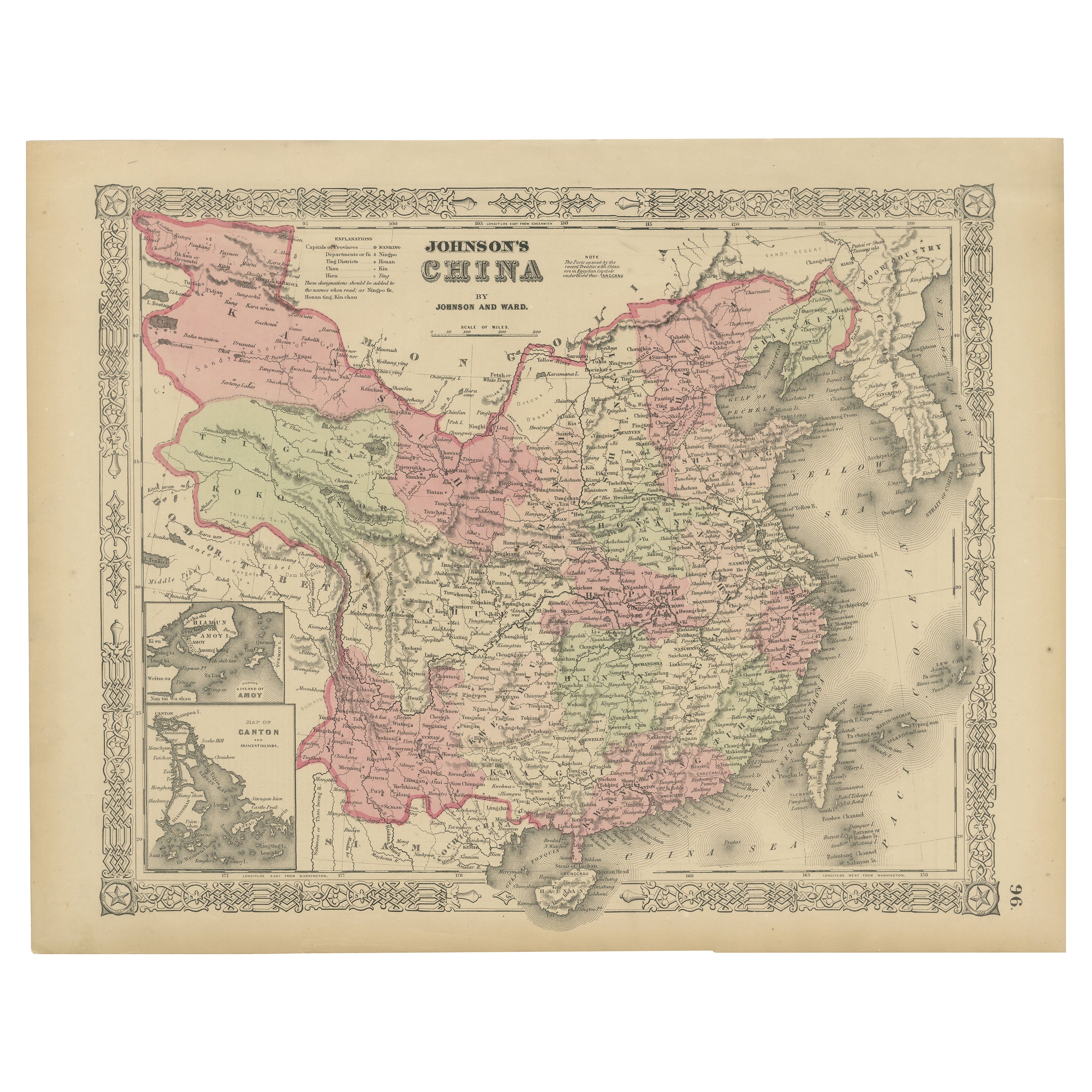
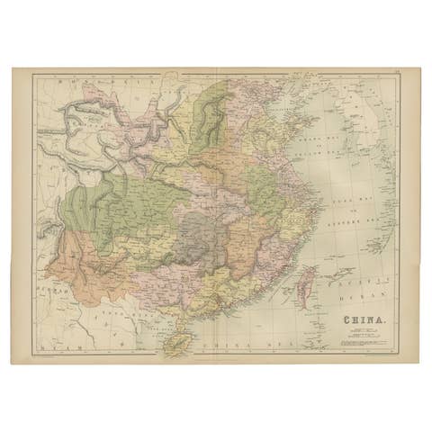
Johnson’s China Map with Canton Inset, USA Published c.1864 – Hand-Colored
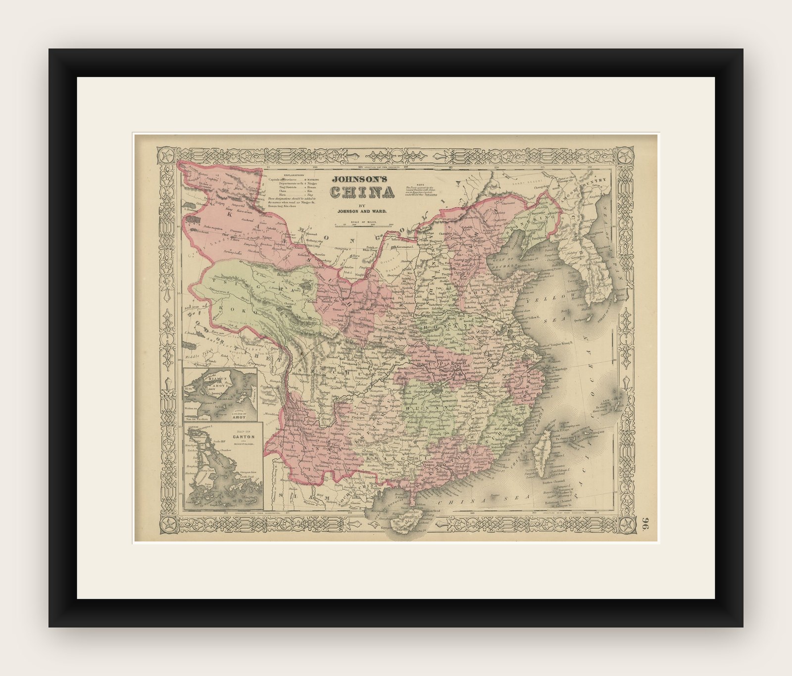
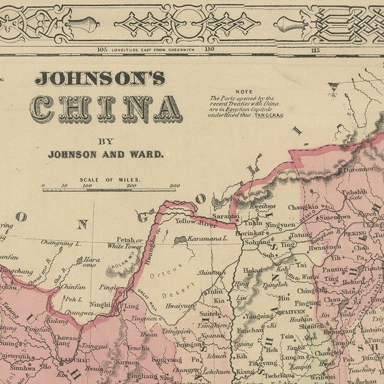
This is a finely engraved and hand-colored map titled Johnson’s China, published by Johnson and Ward in New York circa 1864. It shows detailed political divisions, provinces, and cities of China in the mid-19th century, with bright pastel pink and green wash coloring. The map features an ornate decorative border typical of Johnson’s atlases, adding to its aesthetic appeal.
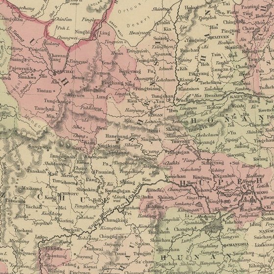
Notable is the inset at the lower left showing the Bay of Canton (Guangzhou) and the island of Amoy (Xiamen), important trading ports for European and American merchants during this period. The main map depicts cities, towns, rivers, mountain ranges, and coastal features with clarity, including Peking (Beijing), Nanking (Nanjing), Shanghai, Canton, Amoy, and Formosa (Taiwan).
Johnson and Ward were leading map and atlas publishers in the United States during the mid-19th century. Their maps combined accurate cartographic detail with decorative presentation, making them popular for family atlases and educational use. This map reflects American perspectives on China during a time of increasing trade relations and missionary activity.
Condition report:
Good condition. Strong impression with bright original hand coloring. Light general age toning and minor marginal spots or handling marks, typical for antique atlas maps. Small tears around the borders. Wide margins and plate mark intact.
Framing suggestion:
Frame with a simple dark wood or black frame and an archival off-white mat to emphasize the soft pastel coloring and decorative border. Use UV-protective glass to preserve color vibrancy and paper stability.