Switzerland Map 1778 – Striking Hand-Colored Copperplate of the Thirteen Cantons
€ 1 690
One of a kind: this is the sheet in the photographs. Ships from Langweer, the Netherlands.
Date
1778
Sheet size
96 × 67 cm (37.8 × 26.4 in)
Condition
Good
Reference
BG-13885
Condition
The map is in good condition considering its age. It features folds (as issued), some light creasing, and small edge tears, none of which affect the main engraved image. The hand-coloring remains clean.
About this sheet
Switzerland Map 1778 – Faden’s Hand-Colored Copperplate of the Thirteen Cantons
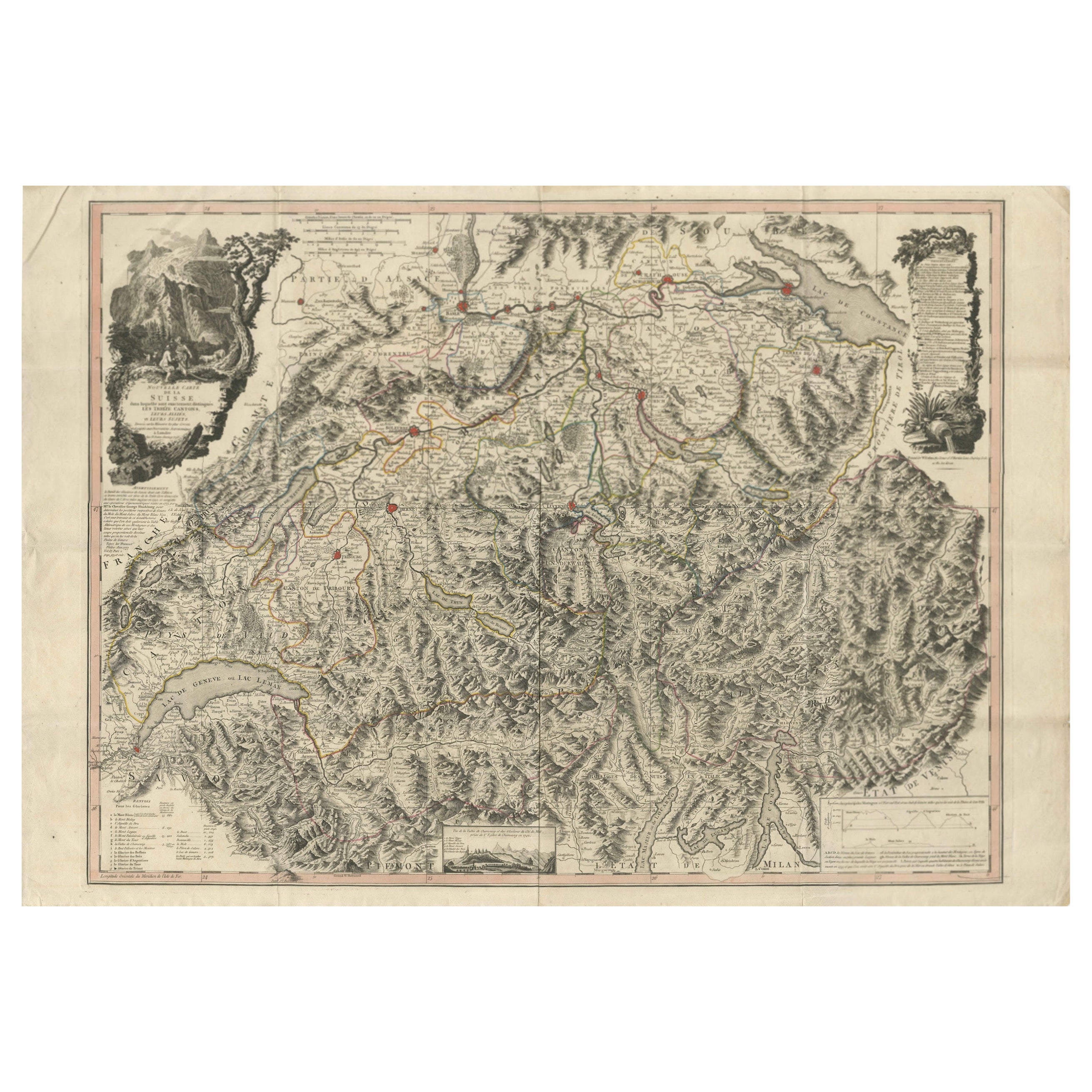
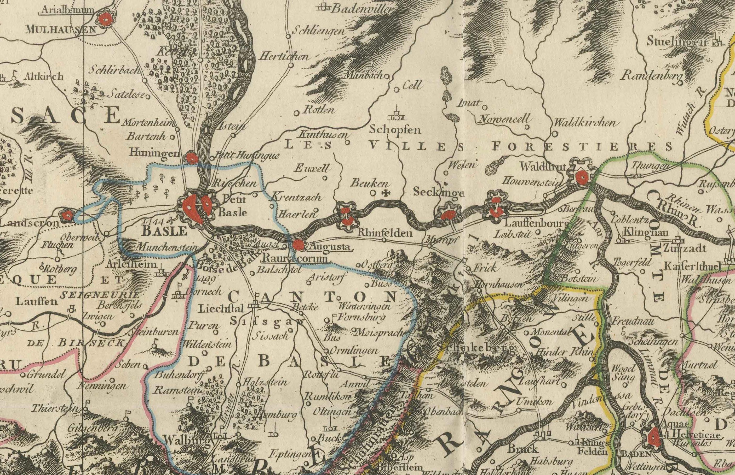
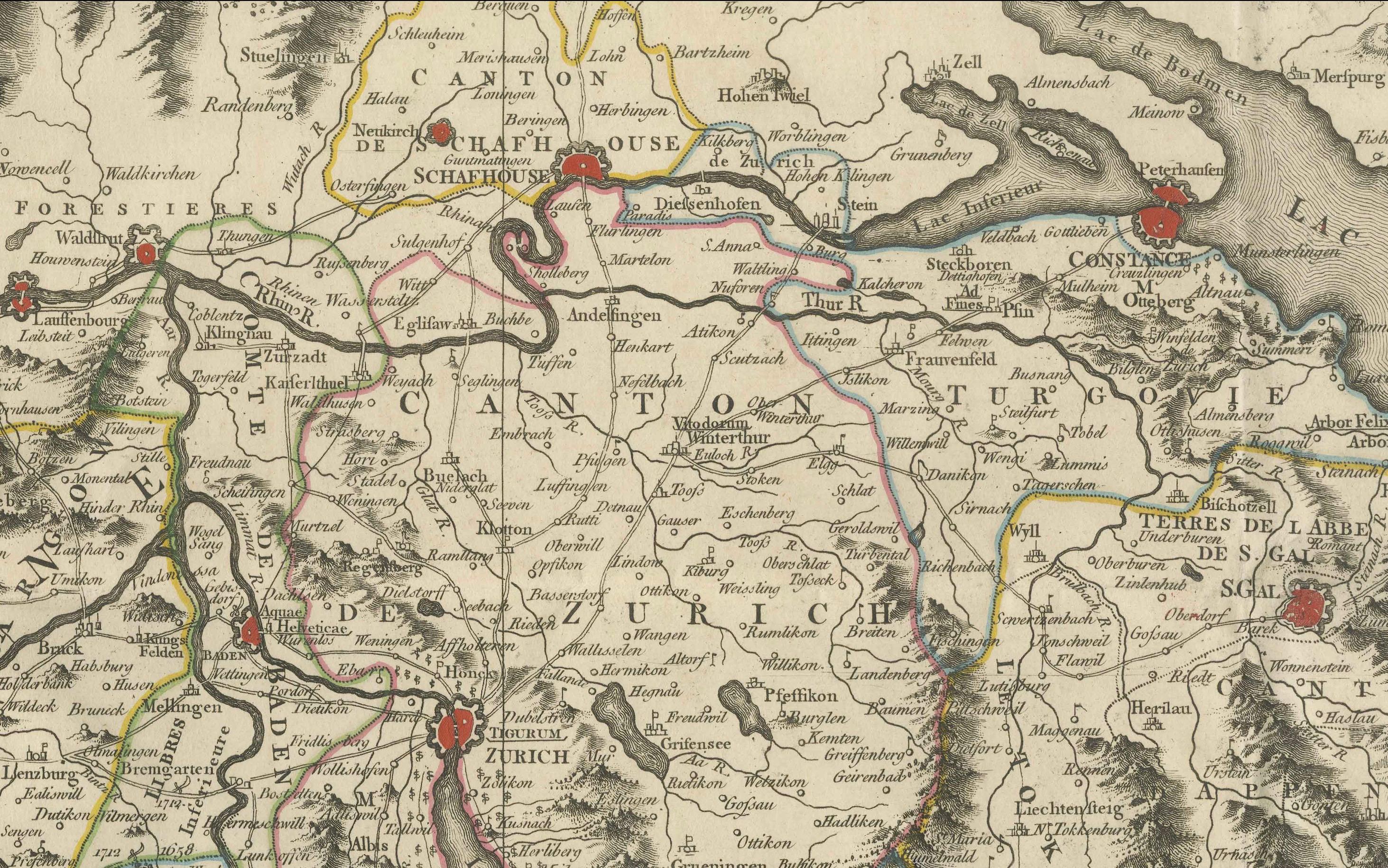
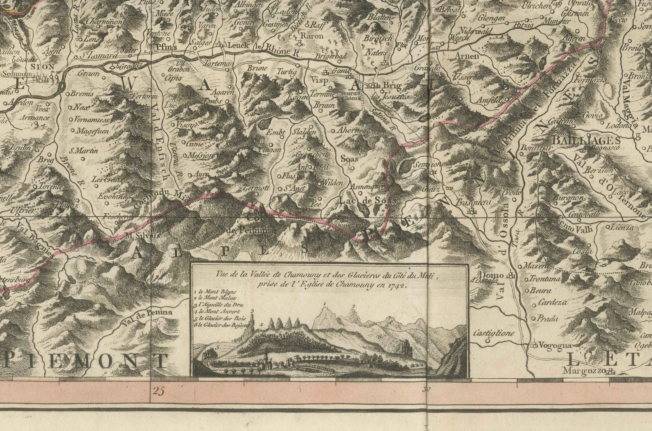
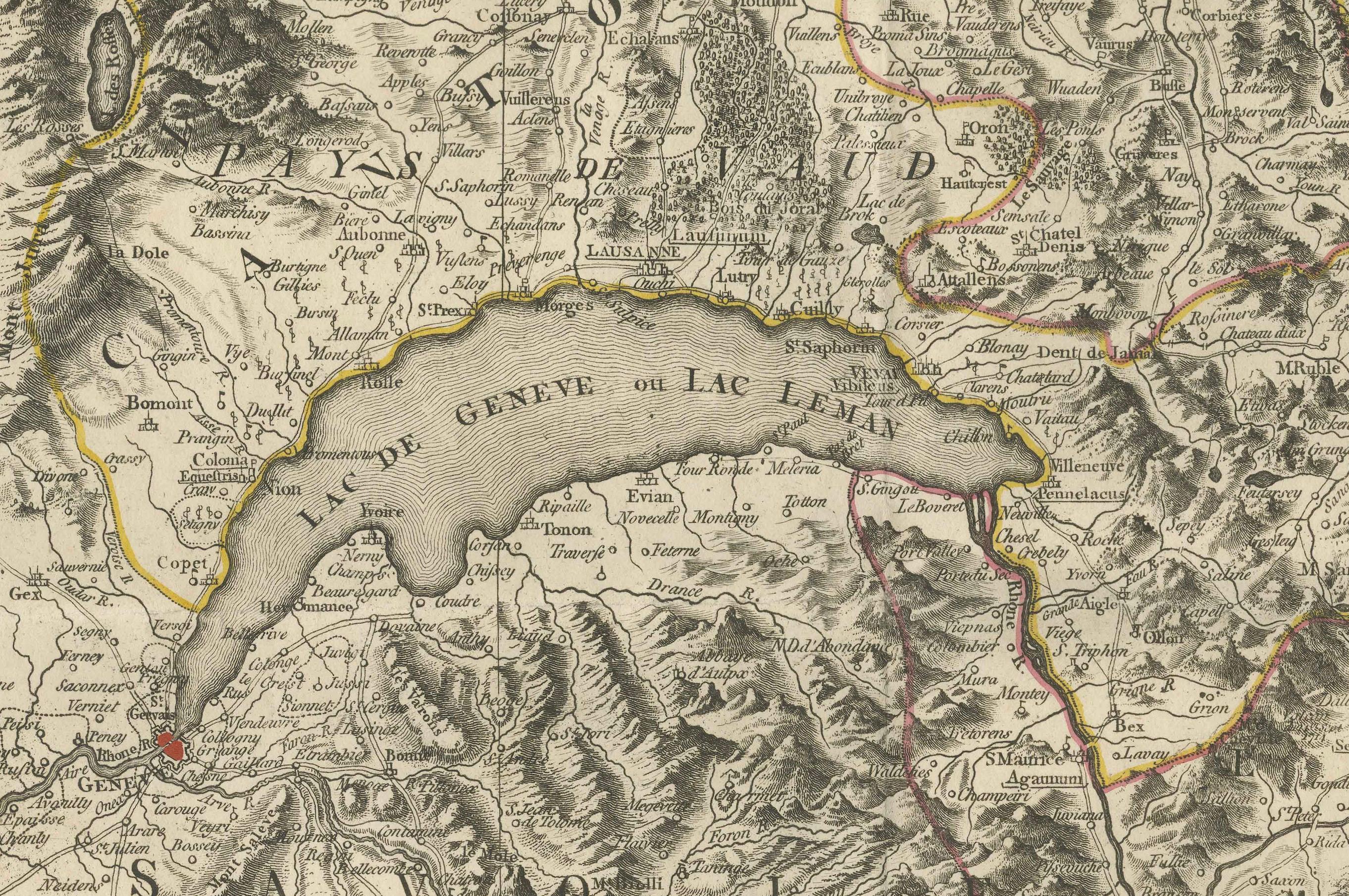
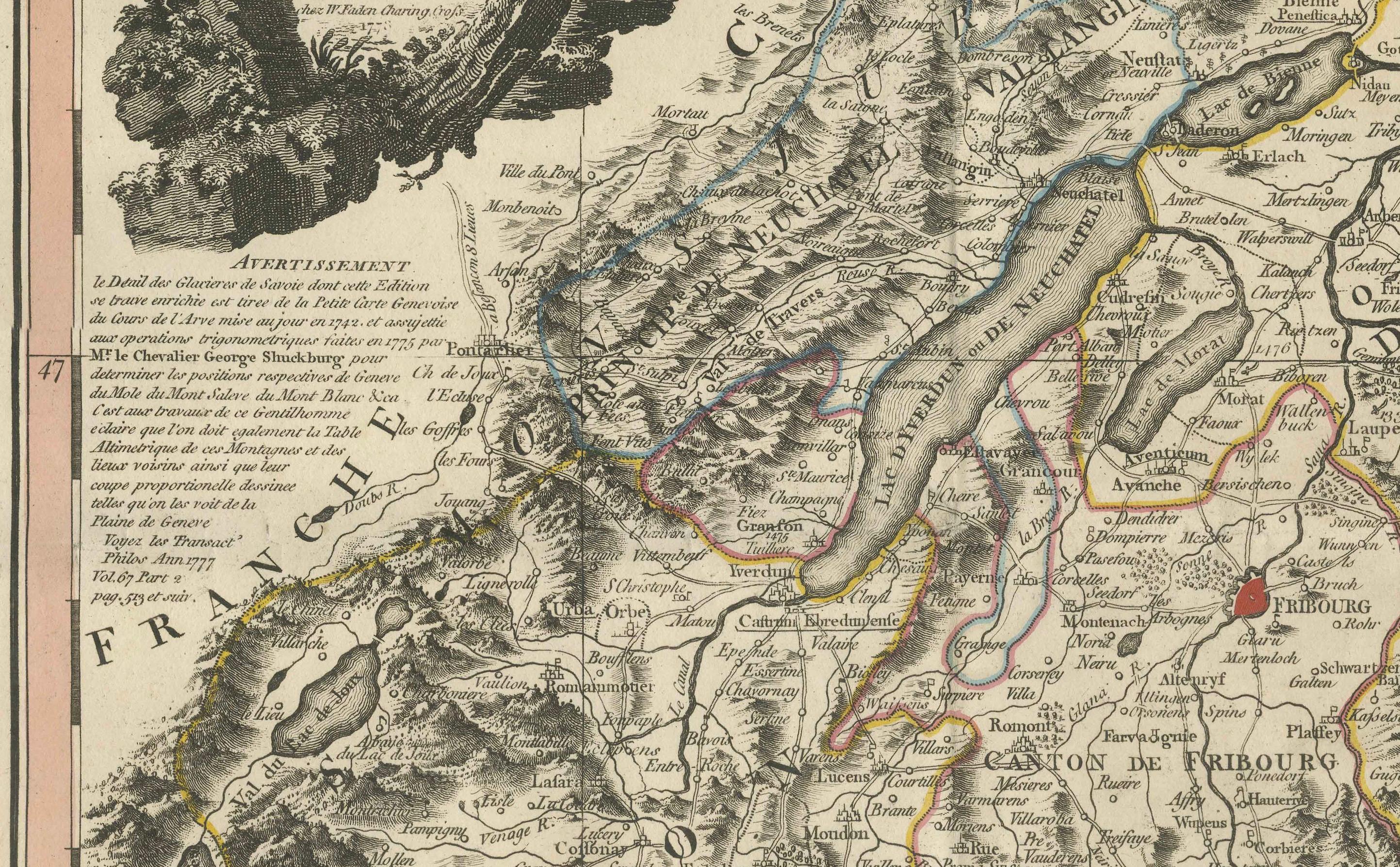
This striking copperplate engraving, published by William Faden in London in 1778, offers a detailed and finely engraved map of Switzerland, titled Nouvelle Carte de la Suisse dans laquelle sont exactement distinguées Les Treize Cantons. This large piece presents a rich visual and topographical record of 18th-century Switzerland. The map is delicately hand-colored along the borders of cantons and key regions to aid in distinguishing political divisions within the Confederacy.
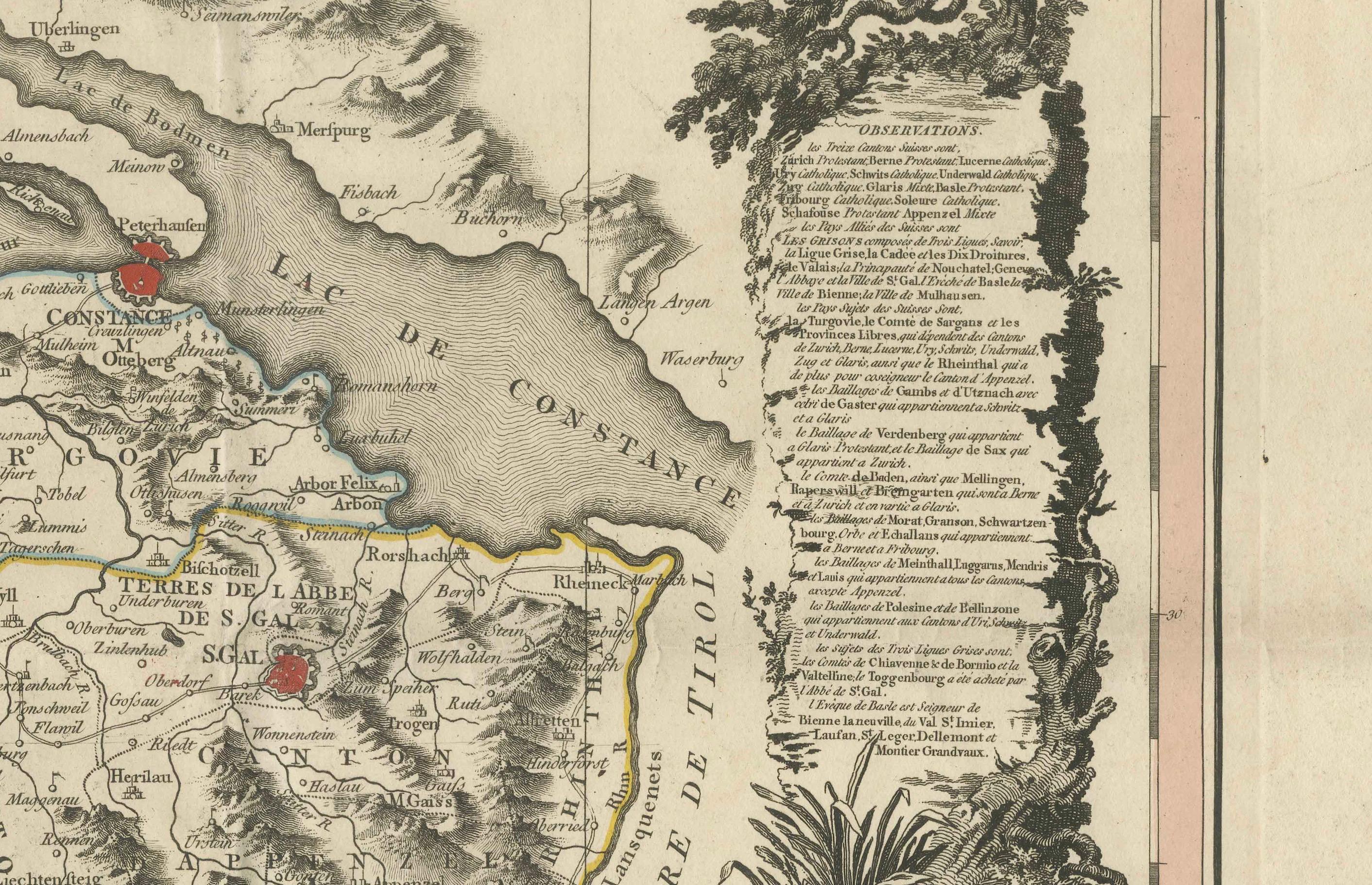
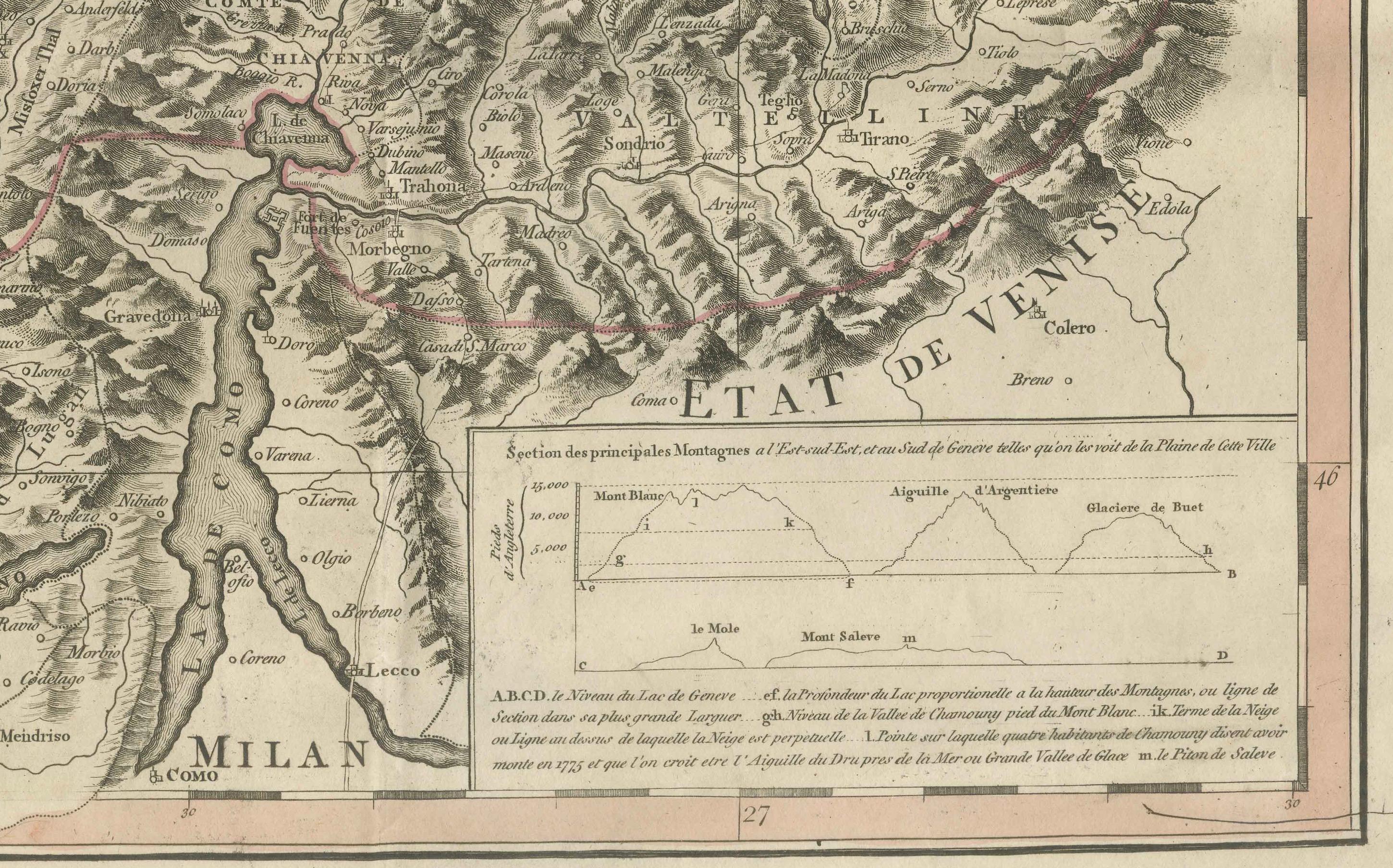
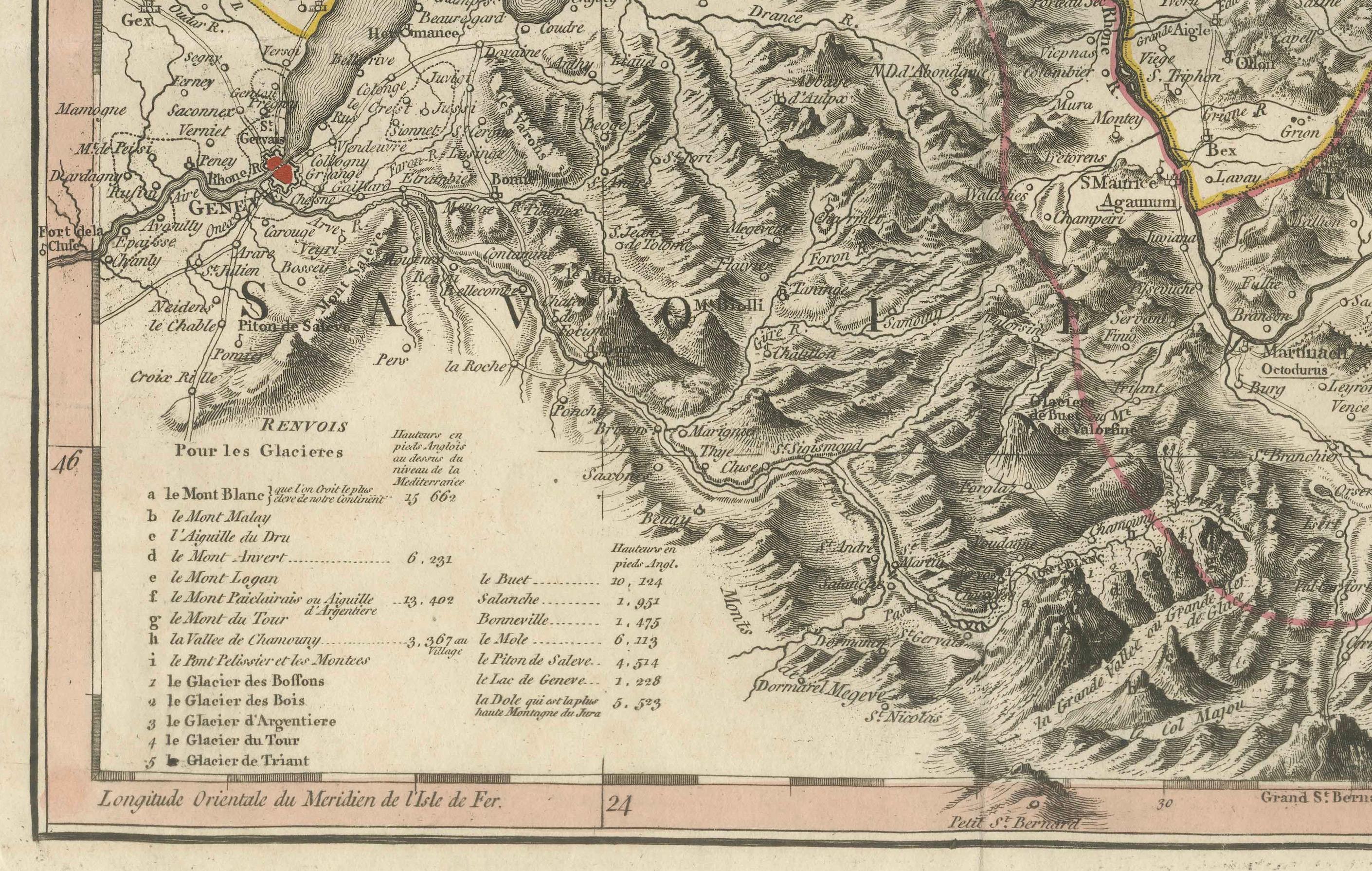
What makes this map especially captivating is not only its geographical accuracy for the time but also its artistic embellishments. In the upper left corner, a dramatic allegorical cartouche sets the tone, featuring a mountainous landscape with figures that echo the romantic vision of Switzerland as a rugged, independent land. Another highly detailed cartouche on the right balances the composition, serving as the map’s legend. A small inset elevation profile at the bottom offers an illustrative section of the alpine topography. Together, these elements blend scientific precision with artistic flair, characteristic of Faden’s high-quality cartographic output.
William Faden (1749–1836) succeeded Thomas Jefferys as Royal Geographer to King George III and became one of the most prominent English mapmakers of his era. His maps are celebrated for their clarity, engraving skill, and reliability — this Swiss map being no exception.
Condition: The map is in good condition considering its age. It features folds (as issued), some light creasing, and small edge tears, none of which affect the main engraved image. The hand-coloring remains clean and subdued, enhancing without overwhelming the detail. Slight toning in the margins is consistent with 18th-century paper and storage.
Framing Tips: This map is ideal for display in a library, study, or alpine chalet interior. Consider a dark walnut or blackened wood frame with a neutral archival mat, allowing the warm cream of the paper and the crisp engraving to stand out. A museum glass option will further elevate and protect the piece while preserving all visible detail. Perfect for lovers of Swiss history, geography, or refined antique decor.