About this sheet
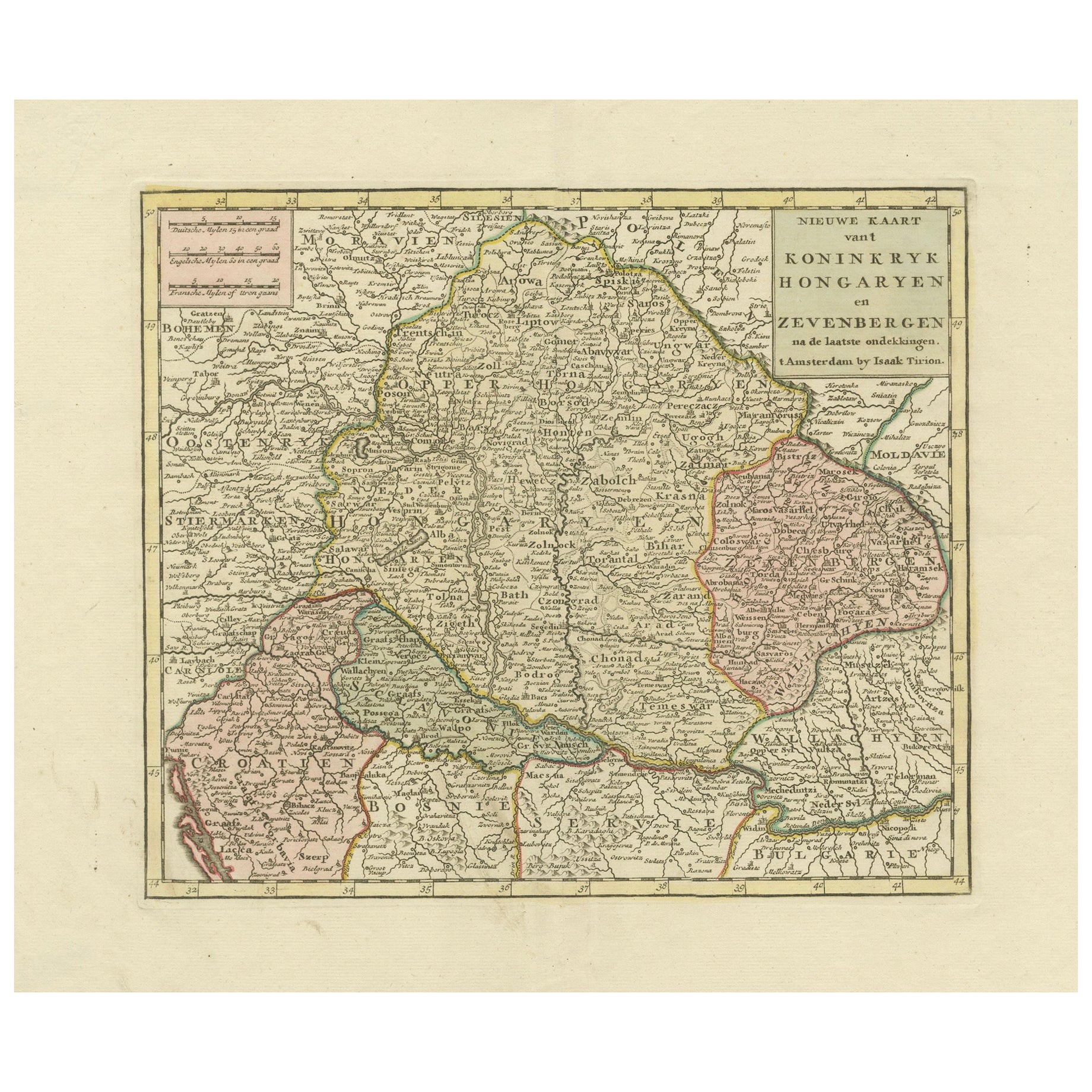
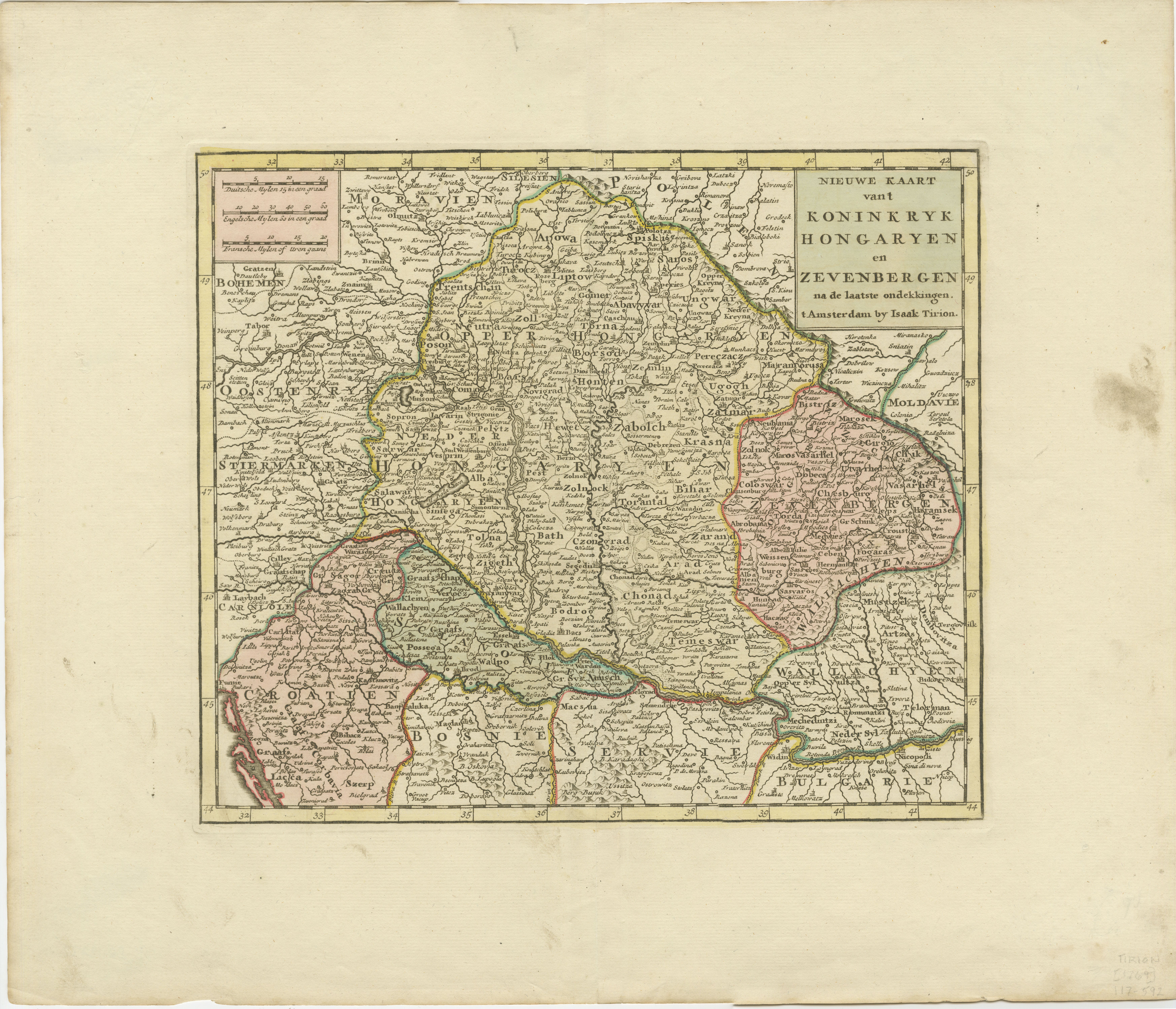
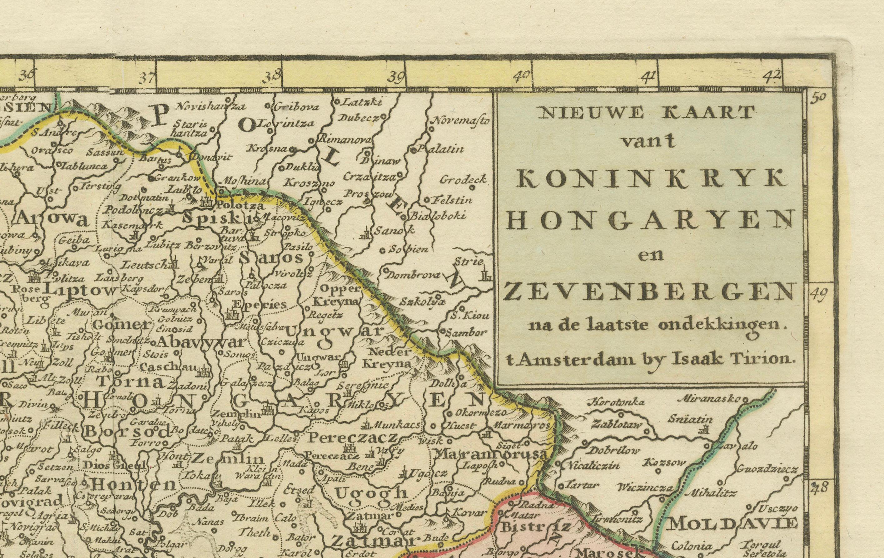
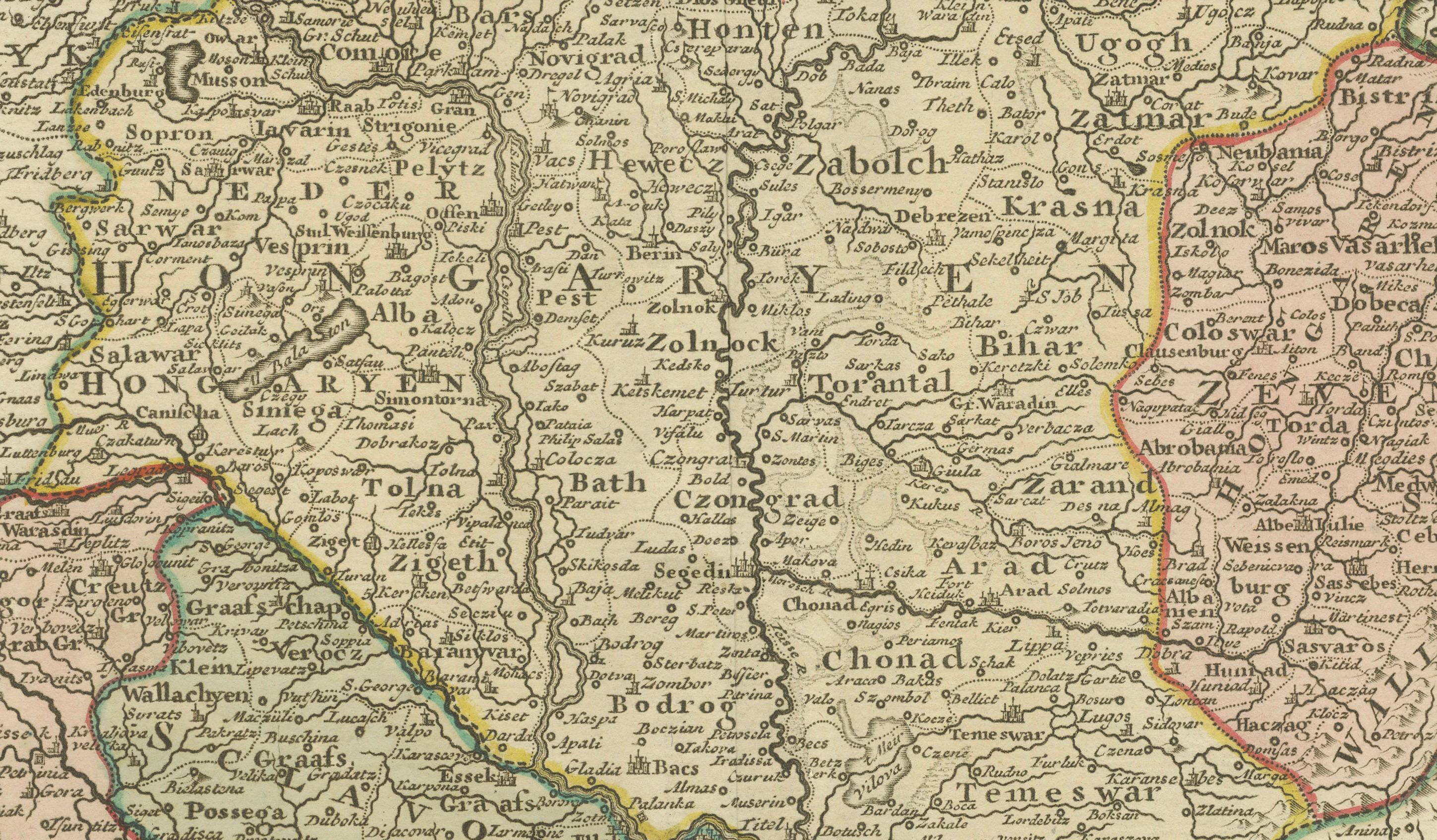
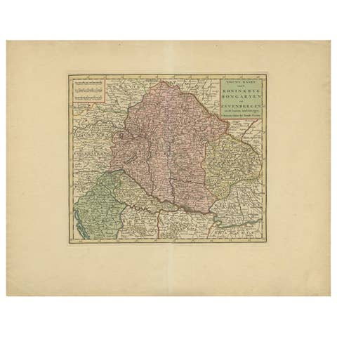
This is an antique 1753 map titled *Nieuwe Kaart van’t Koninkryk Hongaryen en Zevenbergen*, created by the notable Dutch cartographer and publisher Isaak Tirion. The map showcases the Kingdom of Hungary and the region of Transylvania (referred to as "Zevenbergen") as they appeared in the mid-18th century. Tirion’s maps are well-known for their clarity, precision, and attention to geographic detail, making them highly sought after by collectors of antique maps.
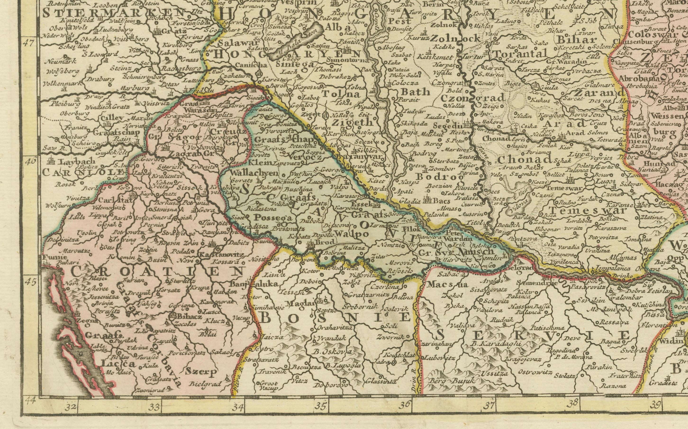
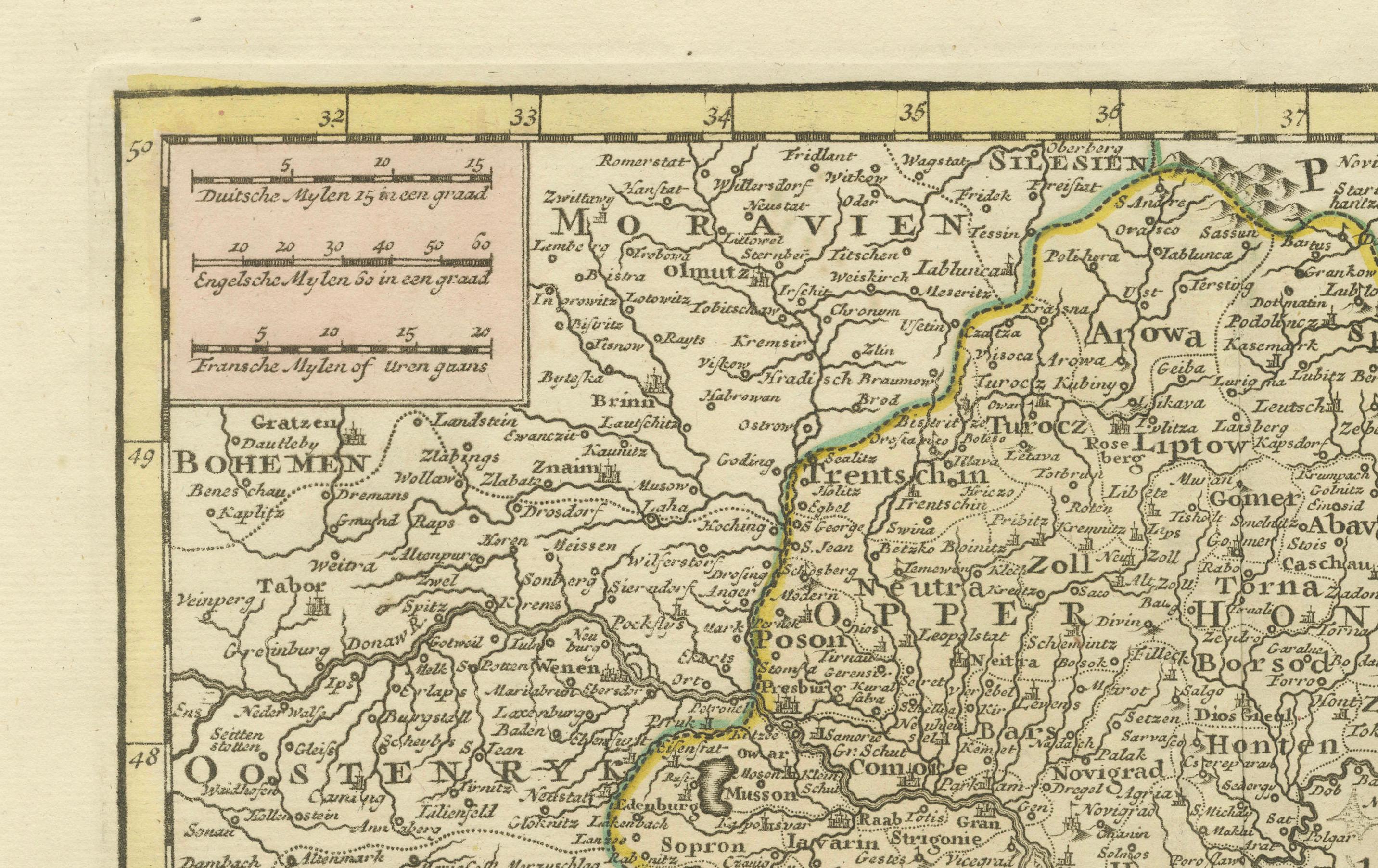
This map provides a detailed view of Hungary and Transylvania, including borders, towns, cities, rivers, and mountain ranges. It was created using the latest discoveries and updates of the time and reflects the political landscape of the region, which was part of the Habsburg Empire during a period of territorial changes and consolidations. The map’s borders are highlighted with color to distinguish different regions, and significant cities such as Buda, Pest, and Debrecen are clearly labeled.
Isaak Tirion was one of the most prominent Dutch publishers of the 18th century, particularly known for his *Nieuwe en Beknopte Hand-Atlas* (New and Concise Hand Atlas) series, which included a wide range of maps of Europe and beyond. His works were appreciated for their cartographic accuracy and artistic quality.
This map is a valuable piece for collectors interested in 18th-century European maps, particularly those that highlight Central Europe, Hungary, Transylvania, and the Habsburg Empire. It is a fine example of the craftsmanship of Isaak Tirion and offers insight into the historical geography of the region.
Condition: Excellent for its age, with finely preserved hand-coloring and wide margins. Slight edge wear typical of maps from this period.
Effective keywords that may help attract collectors or enthusiasts interested in historical maps of Hungary, Transylvania, and Central Europe:
- Antique map of Hungary
- Historical map of Transylvania
- 18th-century map of Central Europe
- Habsburg Empire map
- Isaak Tirion map
- Nieuwe Kaart van’t Koninkryk Hongaryen en Zevenbergen
- Kingdom of Hungary map
- Transylvania cartography
- Dutch cartography
- Maps of Eastern Europe
- Historical maps of Europe
- Rare European maps
- Mid-18th century maps
- Collectible maps of Hungary
- Old map of Transylvania
- Tirion maps for sale
- Hungarian history maps
- Antique maps of Zevenbergen
- Central European cartography
- Historical geography of Hungary
- Dutch mapmakers 18th century
These keywords attract map collectors, historians, and enthusiasts who are interested in antique maps, European history, and cartography.