Maps & PrintsBartele Gallery · Langweer
Home / Antique Maps / Europe / Central Europe

Central Europe · 18th century

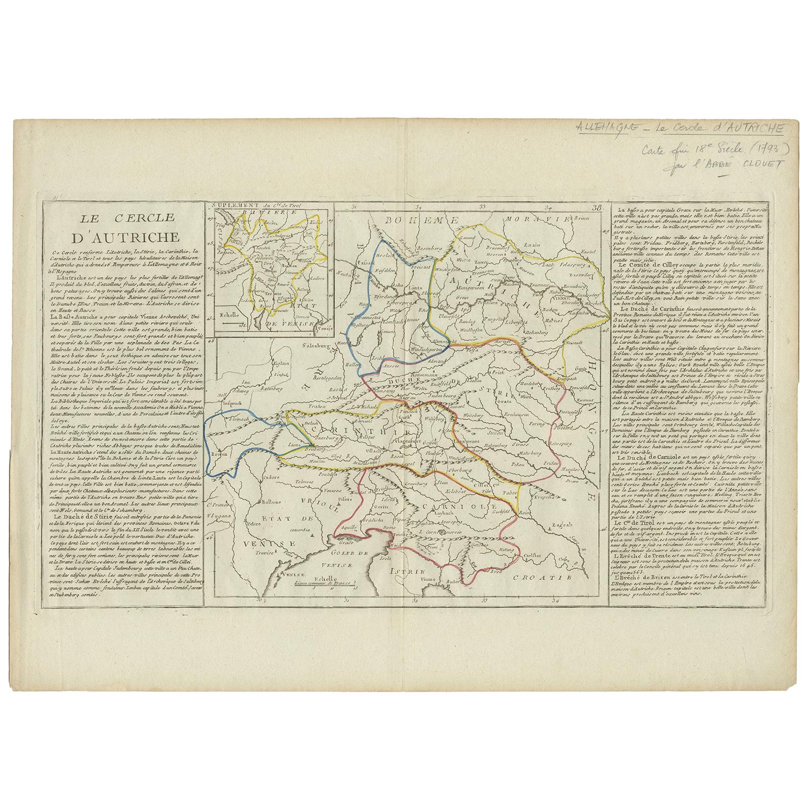
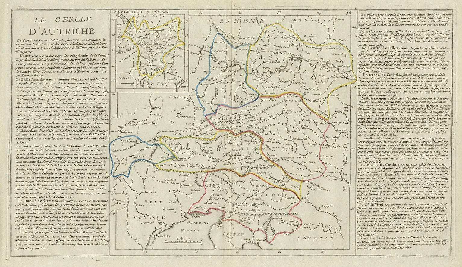
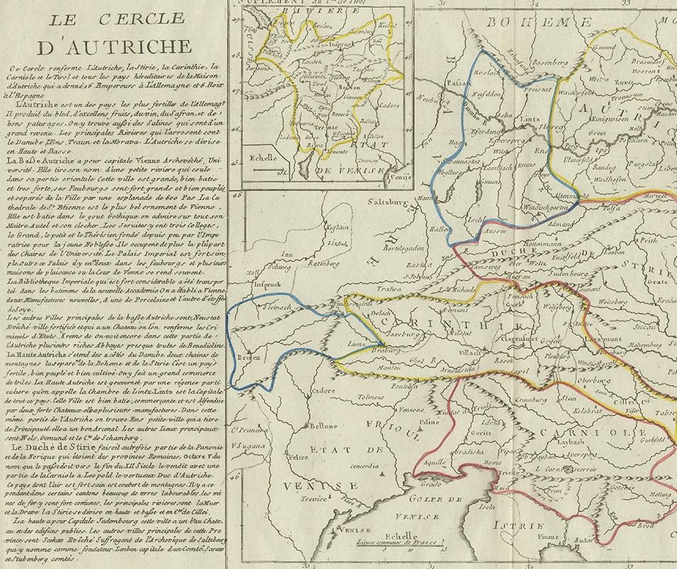
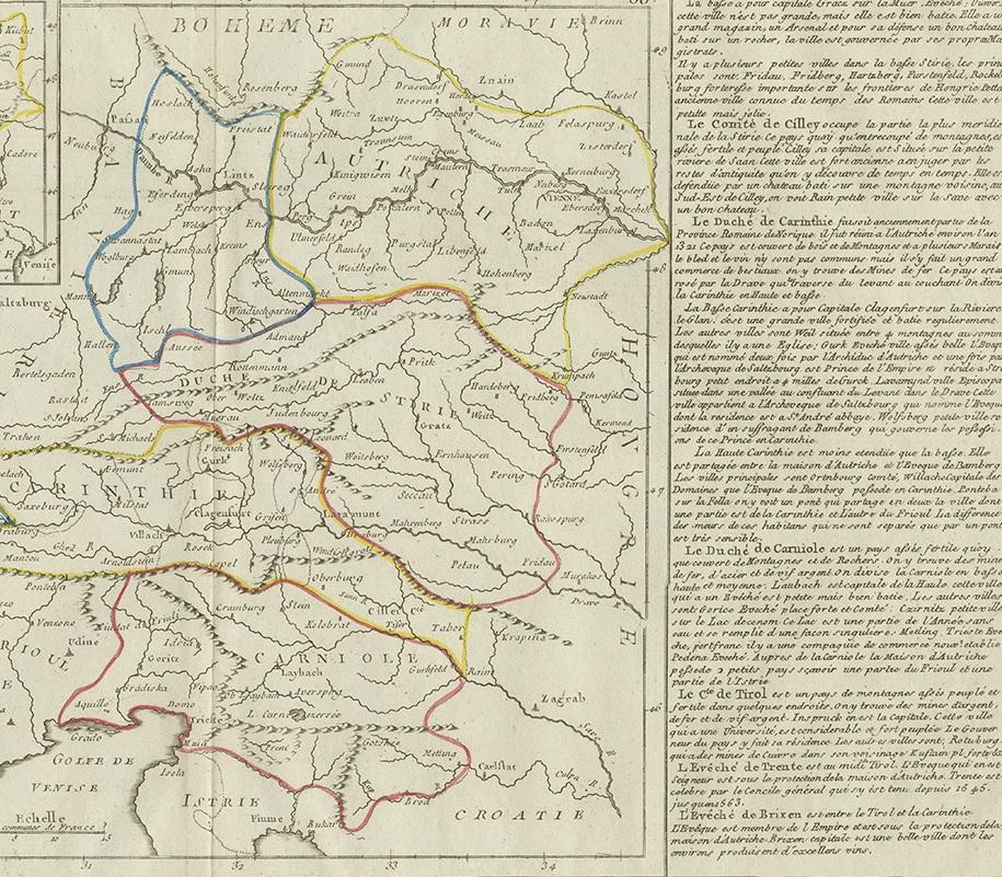
Antique Map of Austria by Clouet '1787'

€ 350

One of a kind: this is the sheet in the photographs. Ships from Langweer, the Netherlands.

Date
1787
Sheet size
44 × 59.5 cm (17.3 × 23.4 in)
Condition
Good
Reference
BG-12211-10

Condition

Pencil notes upper right corner. Please study images carefully.
About this sheet

Antique map titled 'Le Cercle d'Autriche'. Antique map of Austria. Originates from 'Geographie moderne avec une introduction' by J.B.L. Clouet.

More from Central Europe

Ask about this sheet

Antique Map of Austria by Clouet '1787'
1787 · Ref. BG-12211-10 · € 350
We reply by email, usually within one working day.