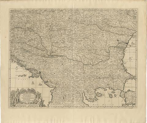
Antique Map of Hungary Incl Surroundings like Croatia, Bosnia, Servia, 1730
€ 550
Original antique · The actual sheet photographed · Certificate of authenticity on request · Sold unframed · Worldwide shipping from € 15 (rates)
Date
1730
Mapmaker / artist
Isaak Tirion, a Dutch publisher in Amsterdam, born 1705. He produced serveral Atlases and Dutch town plans
Technique
Engraved
Sheet size
55 × 43.5 cm (21.7 × 17.1 in)
Reference
BG-04697
Condition
Very good, contemporary coloring. Few marginal tears. Please review the images for further condition details.
About this sheet
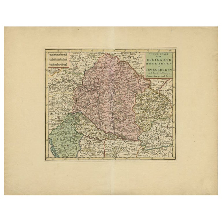
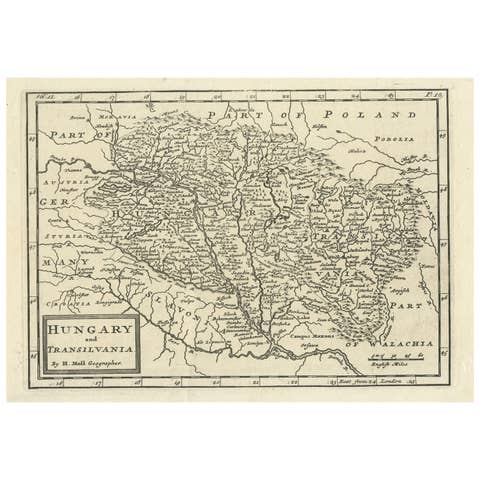
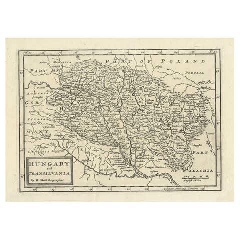
Antique map titled 'Nieuwe Kaart van t Koninkryk Hongaryen en Zevenbergen na de laatste ontdekkingen'.
This map depicts Hungary including surroundings like Croatia, Bosnia, Servia, Bulgaria and Austria.
We sell original antique maps to collectors, historians, educators and interior decorators all over the world. Our collection includes a wide range of authentic antique maps from the 16th to the 20th centuries. Buying and collecting antique maps is a tradition that goes back hundreds of years. Antique maps have proved a richly rewarding investment over the past decade, thanks to a growing appreciation of their unique historical appeal. Today the decorative qualities of antique maps are widely recognized by interior designers who appreciate their beauty and design flexibility. Depending on the individual map, presentation, and context, a rare or antique map can be modern, traditional, abstract, figurative, serious or whimsical. We offer a wide range of authentic antique maps for any budget.