About this sheet
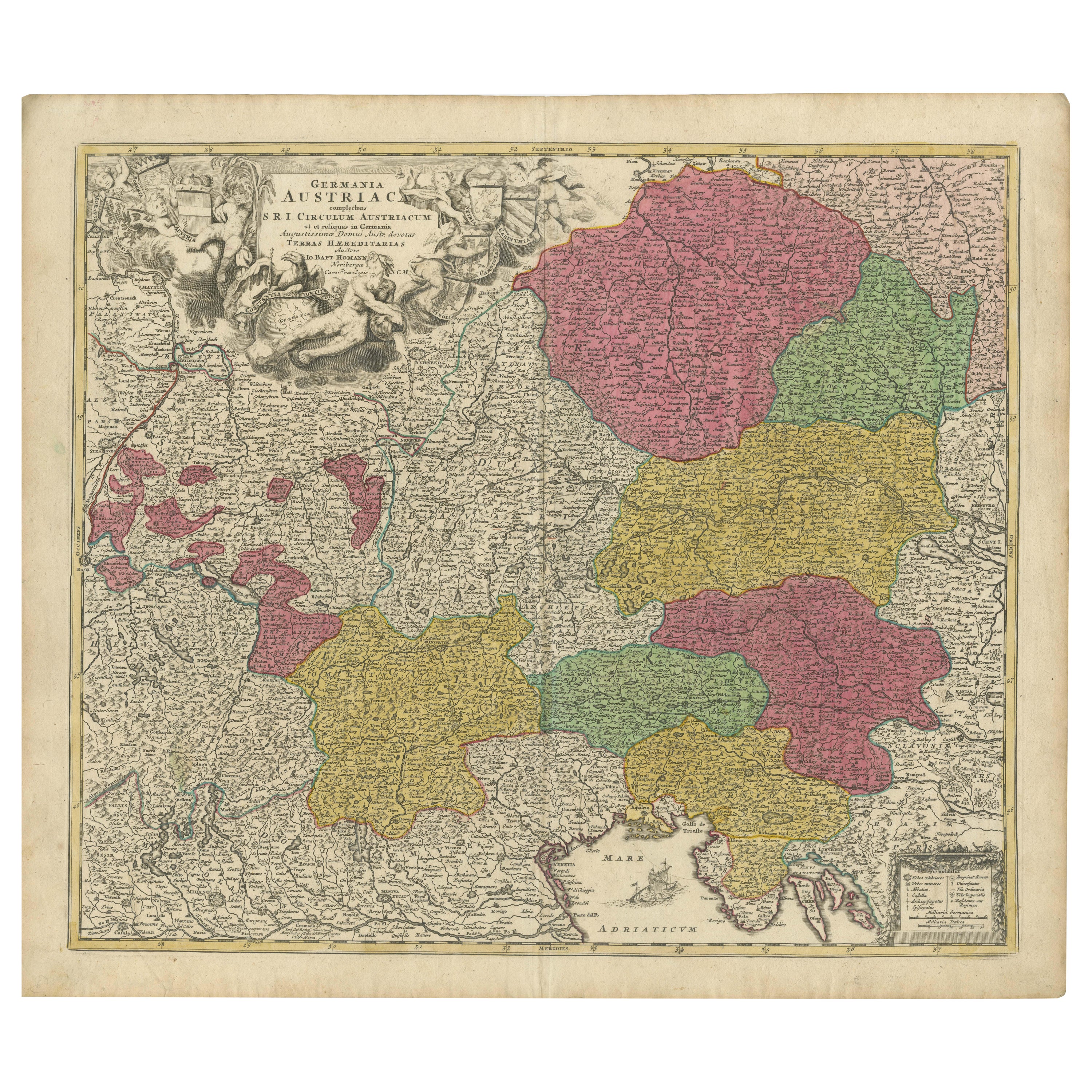
"1720 Johann Baptist Homann Map of the Austrian Circle and Surrounding Regions"
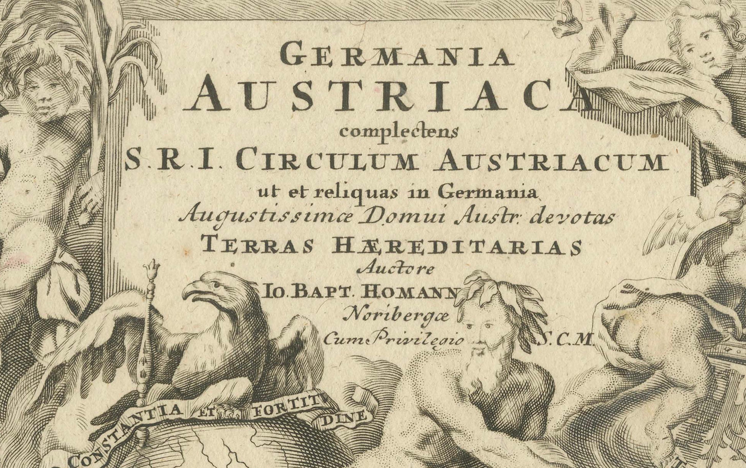
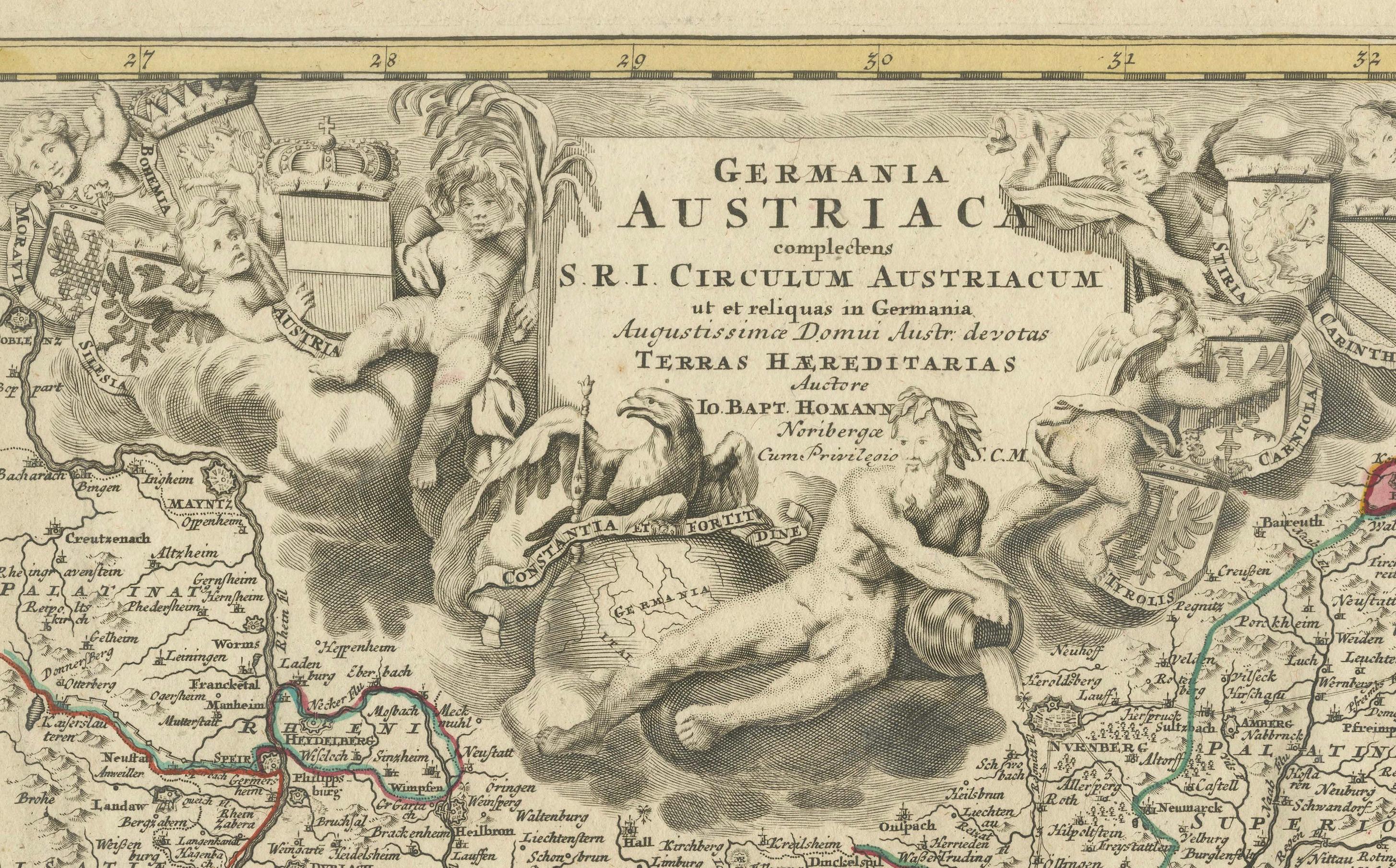
This map, crafted by the renowned cartographer Johann Baptist Homann around 1720, is titled "Germania Austriaca Complectens S.R.I. Circulum Austriacum ut et Reliquas in Germania." It provides a comprehensive depiction of the Austrian Circle of the Holy Roman Empire and its adjacent regions.
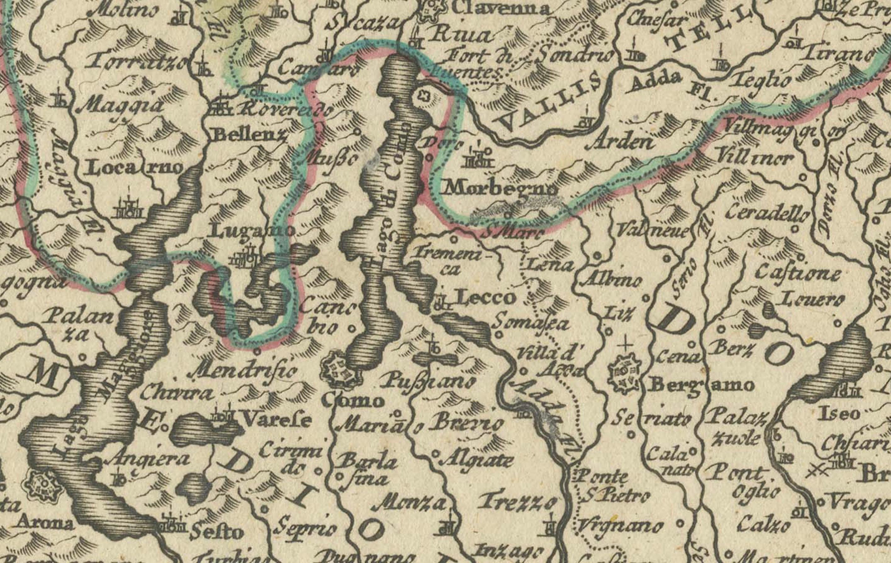
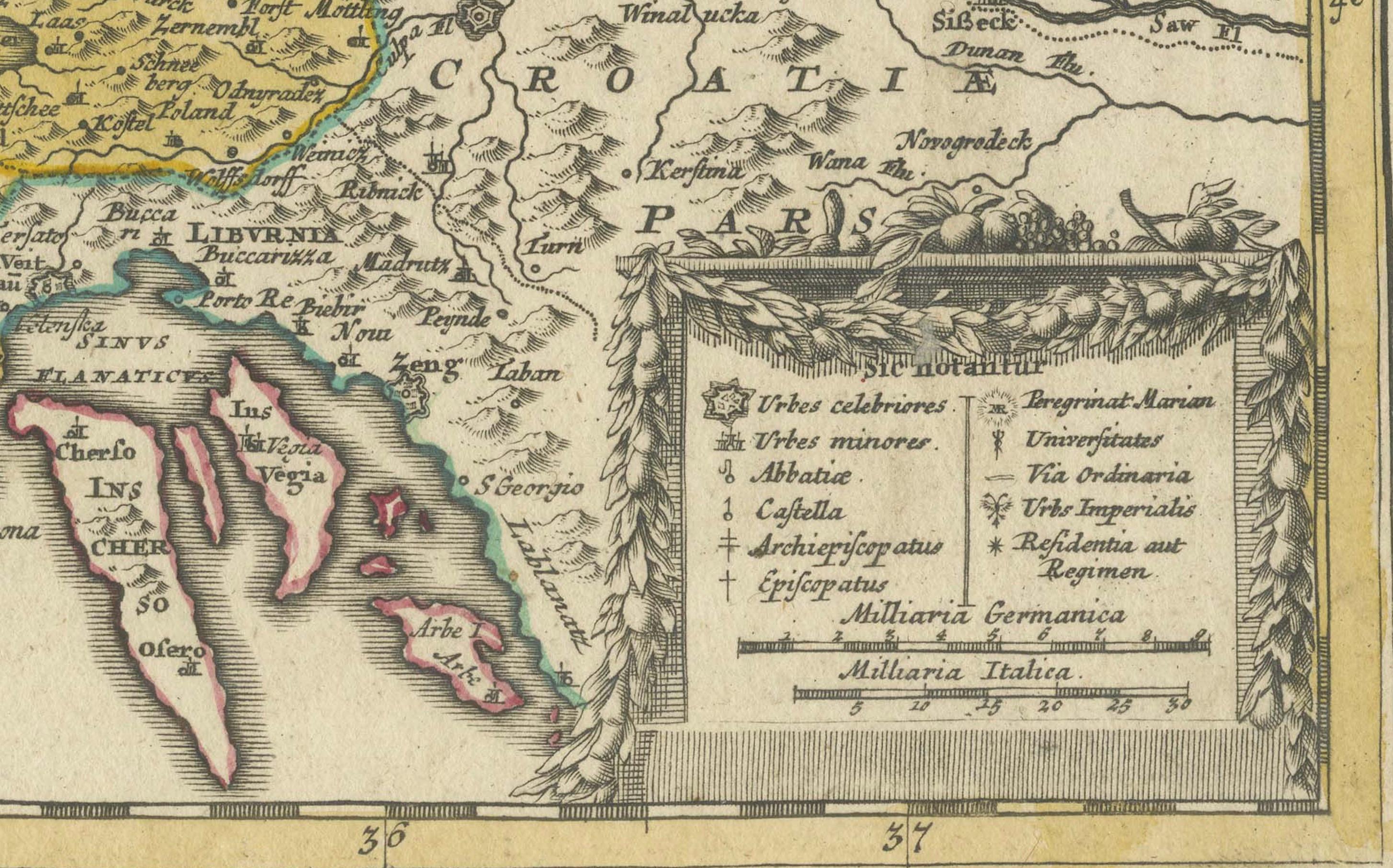
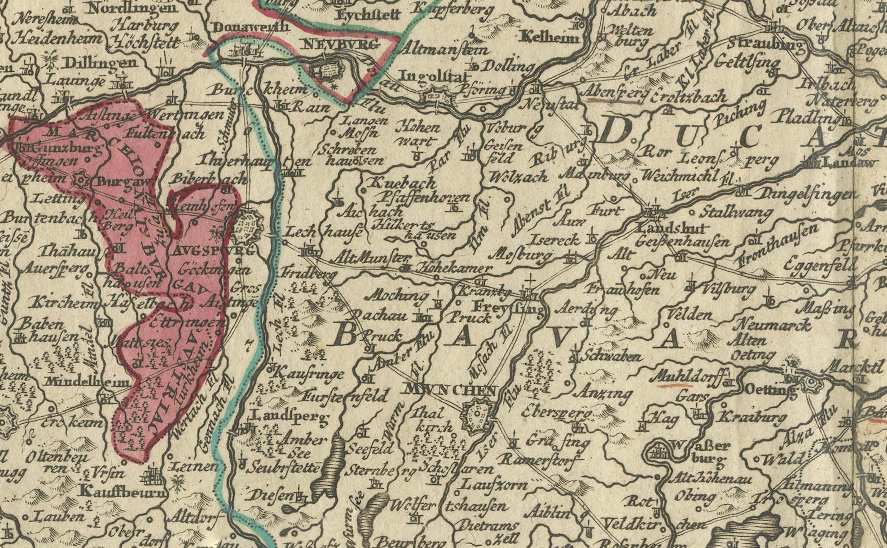
The coverage extends from Heidelberg and the Upper Rhine in the northwest, through large parts of Switzerland, down to Milan in the southwest, encompassing Croatia to the southeast, and stretching to Vienna, Pressburg (modern-day Bratislava), and Prague in the northeast.
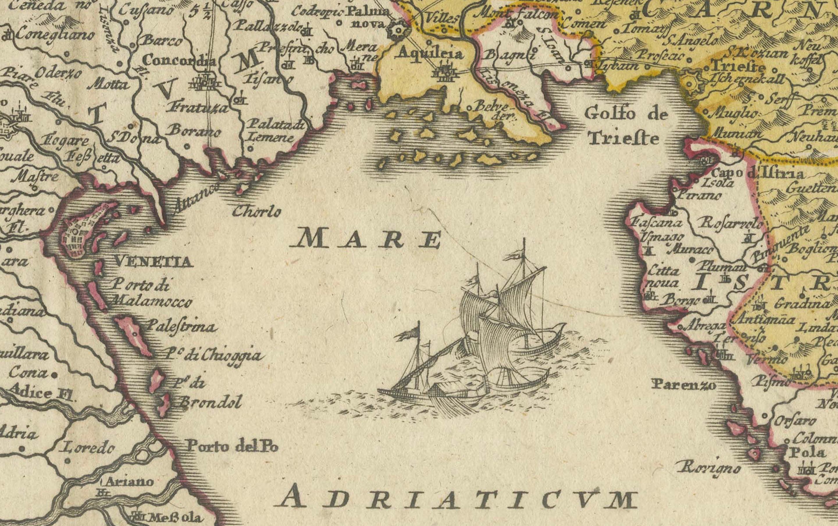
- Geographical Scope: The map details a vast area central to the political and cultural landscape of early 18th-century Europe, marking major cities, rivers, and lakes meticulously.
- Artistic Elements: A striking feature of the map is its elaborate title cartouche located in the upper left corner, which includes the coats of arms of the provinces such as Moravia, Silesia, Bohemia, Austria, Tyrolis, Carniola, Stiria, and Carinthia, symbolizing their significance within the Empire.
- Coloration: The map is old colored, meaning that it retains the original hues used during its initial publication, which adds to its historical authenticity and aesthetic value.
Cartographer:
Johann Baptist Homann, born in 1664, was a pivotal figure in German cartography, originally establishing his business in Nuremberg in 1702. After decades of Dutch dominance in mapmaking, Homann's works marked a significant German contribution to European cartography. He was recognized by the Academy of Science in Berlin and continued to influence mapmaking through his publishing house well beyond his death in 1724.
Historical Significance:
This map not only serves as a detailed geographical record but also as a cultural artifact, reflecting the geopolitical dynamics of the region during the early 1700s. It was created during a period when maps were integral to the understanding and administration of territories within the vast and complex structure of the Holy Roman Empire.
Collector's Value:
For collectors, this map is a prized possession due to its detailed cartography, the reputation of its creator, and its excellent preservation of the period's cartographic aesthetics. It is especially valuable for those interested in the history of Central Europe, the art of cartography, and the legacy of the Holy Roman Empire's administrative divisions.