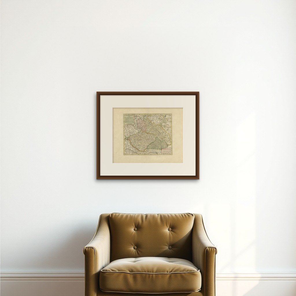
Antique Map of Bohemia in the Present-Day Chech Repubic, 1730
€ 450
Original antique · The actual sheet photographed · Certificate of authenticity on request · Sold unframed · Worldwide shipping from € 15 (rates)
Date
1730
Sheet size
40 × 50.5 cm (15.7 × 19.9 in)
Reference
BG-06836
What the condition grades mean
Excellent
Bright and clean, with no faults worth mentioning.
Very good
Only light signs of age, such as faint toning.
Good
Normal signs of age for a sheet of this period: toning, some foxing, small marks or neat old repairs.
Fair
Clear faults such as staining, tears or repairs, priced to match.
Every fault we see is written in the condition note, and the whole sheet is shown uncropped in the photos.
Condition
Very good. Contemporary coloring. Please review the images for further condition details.
About this sheet
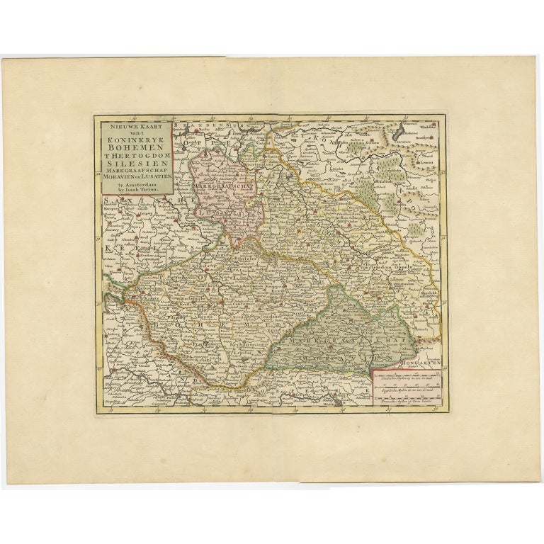
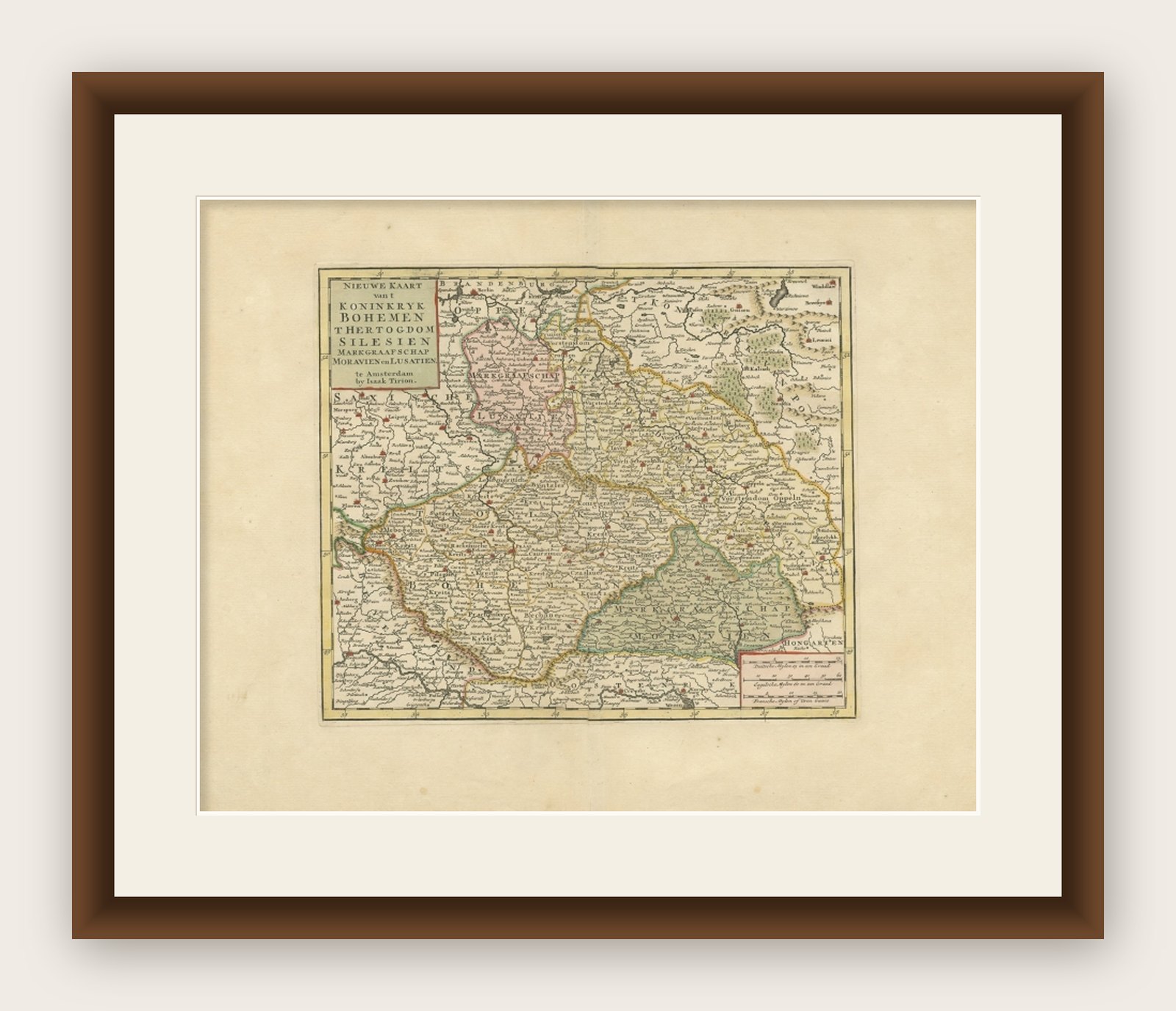
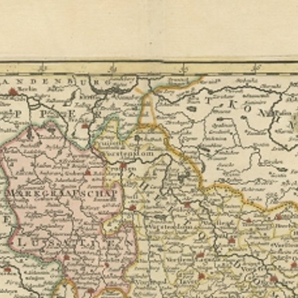
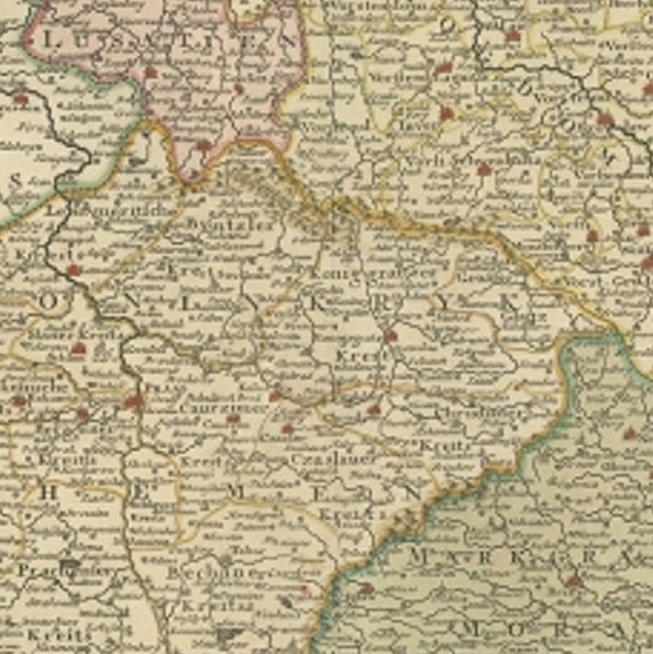
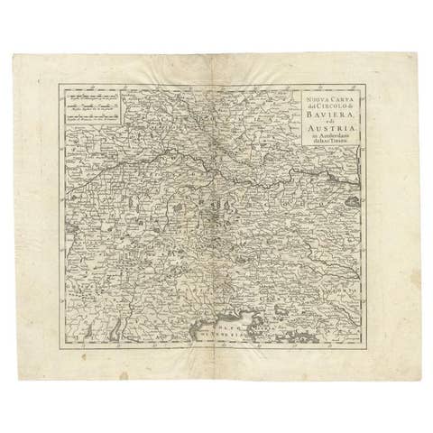
Antique map titled 'Nieuwe Kaart van t Koninkryk Bohemen t Hertogdom Silesien markgraafschap Moravien (Moravia) en Lusatien' (Lusatia). Map of Bohemia (Czech Republic) with the surrounding regions.
Bohemia is the westernmost and largest historical region of the Czech lands in the present-day Czech Republic. Bohemia can also refer to a wider area consisting of the historical Lands of the Bohemian Crown ruled by the Bohemian kings, including Moravia and Czech Silesia, in which case the smaller region is referred to as Bohemia proper as a means of distinction.
Bohemia was a duchy of Great Moravia, later an independent principality, a kingdom in the Holy Roman Empire, and subsequently a part of the Habsburg Monarchy and the Austrian Empire. After World War I and the establishment of an independent Czechoslovak state, the whole of Bohemia became a part of Czechoslovakia, defying claims of the German-speaking inhabitants that regions with German-speaking majority should be included in the Republic of German-Austria. Between 1938 and 1945, these border regions were joined to Nazi Germany as the Sudetenland.
Artists and Engravers: Isaak Tirion, a Dutch publisher in Amsterdam, born 1705. He produced serveral Atlases and Dutch town plans.