Maps & PrintsBartele Gallery · Langweer
Home / Antique Maps / America / Central America & Caribbean

Central America & Caribbean · 18th century

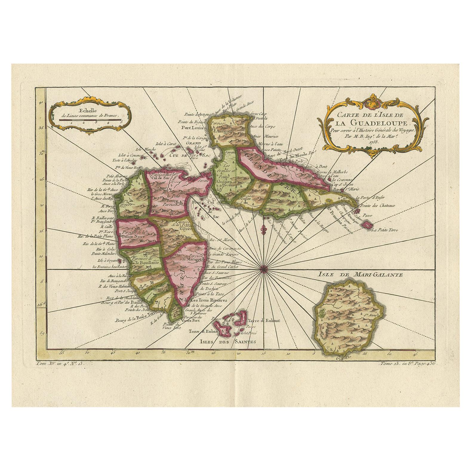
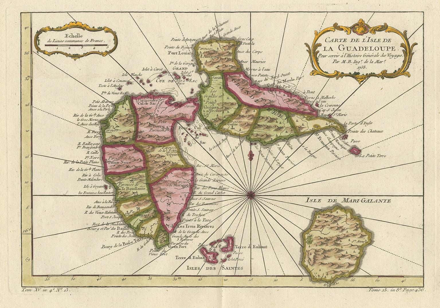
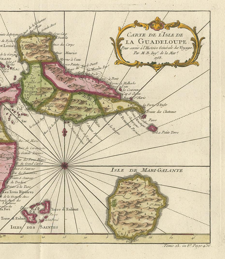
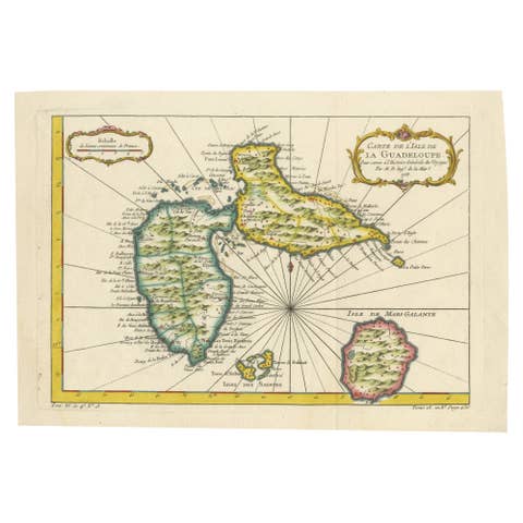
Antique Map of Guadelupe in the Caribbean, 1759

€ 450

One of a kind: this is the sheet in the photographs. Ships from Langweer, the Netherlands.

Date
1759
Mapmaker / artist
Jacques-Nicolas Bellin (Artist)
Sheet size
27 × 34.5 cm (10.6 × 13.6 in)
Condition
Good
Reference
BG-11718

Condition

Please study images carefully.
About this sheet

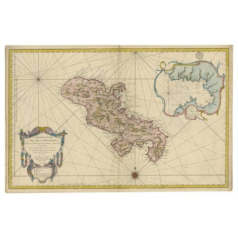
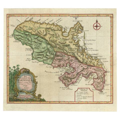
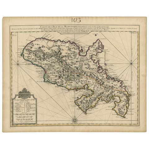
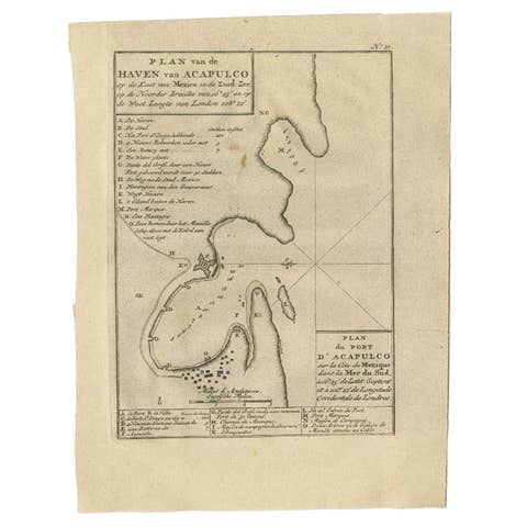
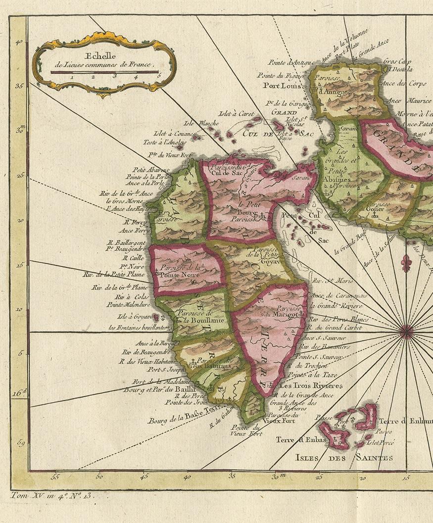
Antique map titled 'Carte De L'Isle De La Guadeloupe'. Detailed map of Guadalupe, Mari-Galante and the Isles de Saintes. Produced by Nichlas Bellin for Prevost d'Exiles influential travel book, L'Histoire Generale des Voyages.

More from Central America & Caribbean

Ask about this sheet

Antique Map of Guadelupe in the Caribbean, 1759
1759 · Ref. BG-11718 · € 450
We reply by email, usually within one working day.