Antique Map of Coiba Island, Panama, South America, C.1740
€ 340
Original antique · The actual sheet photographed · Certificate of authenticity on request · Sold unframed · Worldwide shipping from € 15 (rates)
Date
1740
Sheet size
25.3 × 40.1 cm (10.0 × 15.8 in)
Condition
Good
Reference
BG-11289
What the condition grades mean
Excellent
Bright and clean, with no faults worth mentioning.
Very good
Only light signs of age, such as faint toning.
Good
Normal signs of age for a sheet of this period: toning, some foxing, small marks or neat old repairs.
Fair
Clear faults such as staining, tears or repairs, priced to match.
Every fault we see is written in the condition note, and the whole sheet is shown uncropped in the photos.
Condition
Very good. Please review the images for further condition details.
About this sheet
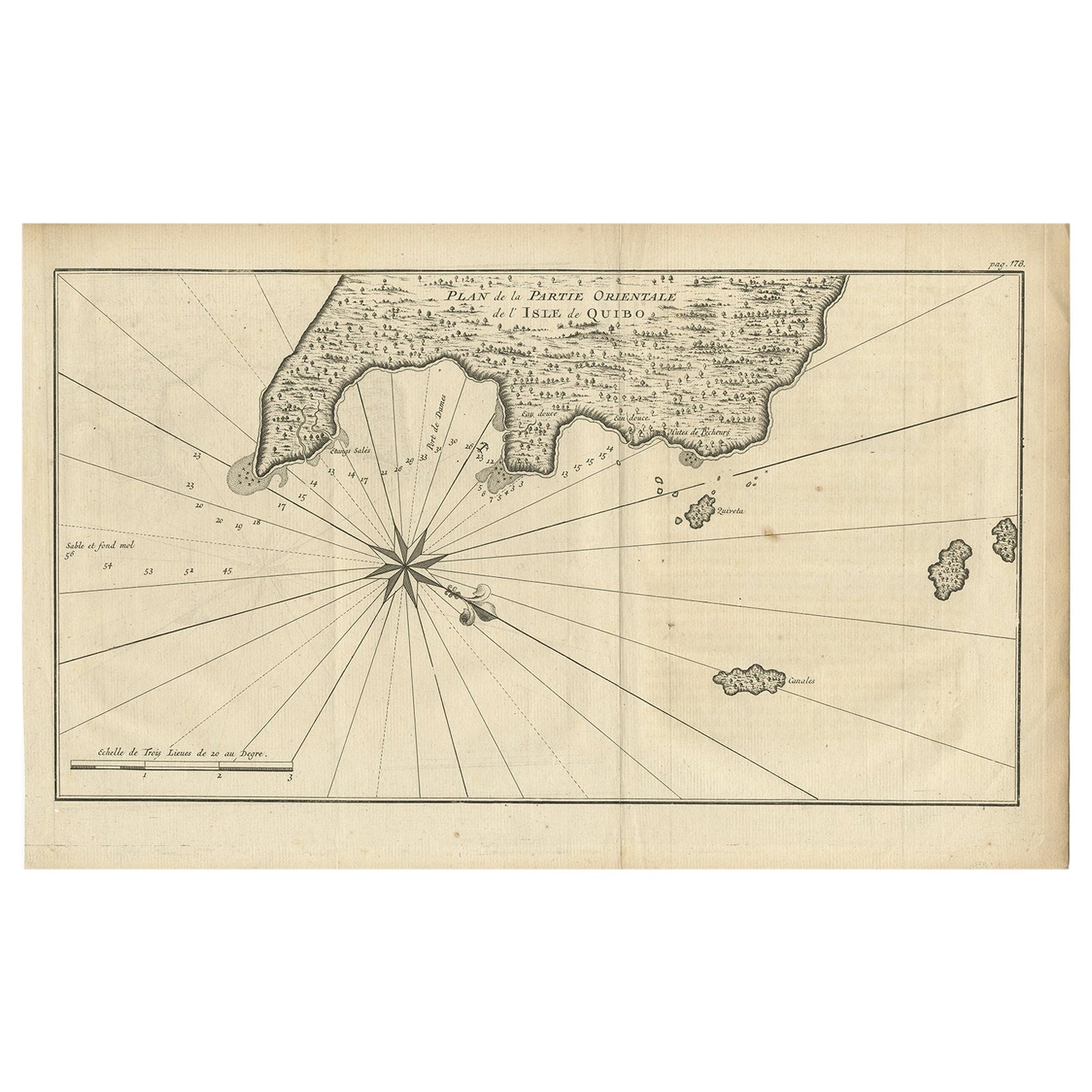
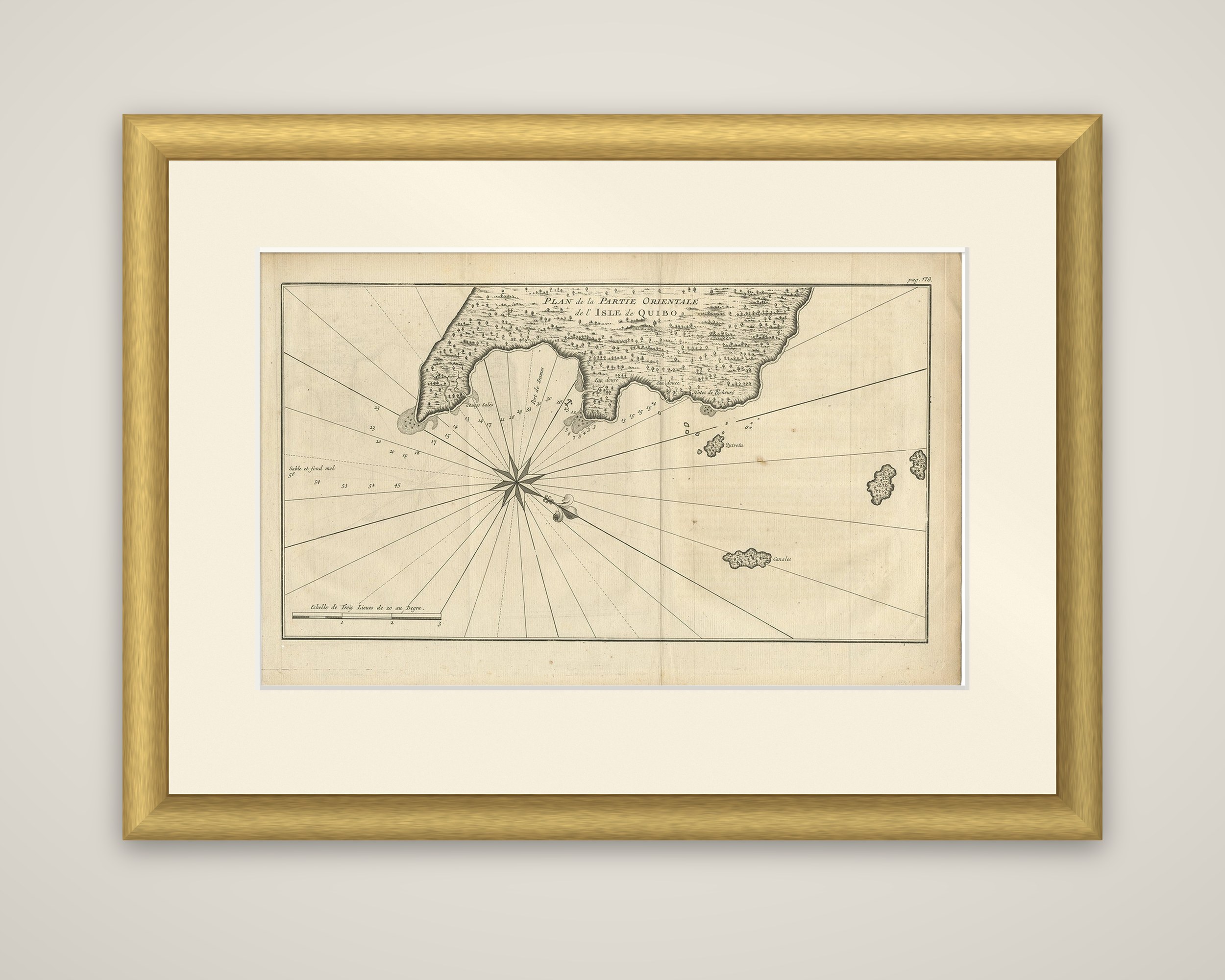
The eastern side of Coiba Island, called Quibo on the plan, off the Pacific coast of Panama, in an original copper engraving lettered "Plan de la Partie Orientale de l'Isle de Quibo", with the page number "pag. 178" at the upper right. The plan is dated about 1740 in the listing and is connected in the old description to George Anson's circumnavigation.
The island's shoreline fills the top of the sheet, drawn as a belt of wooded land cut by a wide bay. Soundings of the water are printed in fathoms, and the notes mark the shoreline around Port des Dames, where the bottom is soft sand and mud, together with salt lagoons, fresh water and fishermen's huts. Offshore, the small islands of Quiveta and Canales are drawn, and a compass rose with rhumb lines crosses the open water. A scale of three leagues is given at the lower left.
Coiba lies in the Gulf of Chiriqui, and its sheltered anchorages made it a useful stopping place for ships on the Pacific side of Central America.