About this sheet
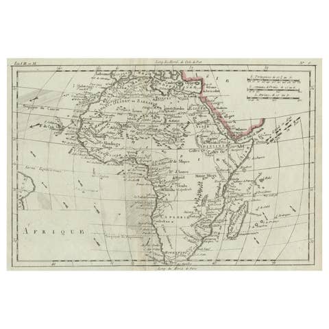
Africa Map by Rigobert Bonne – Pre-Colonial Geography c.1780
DESCRIPTION
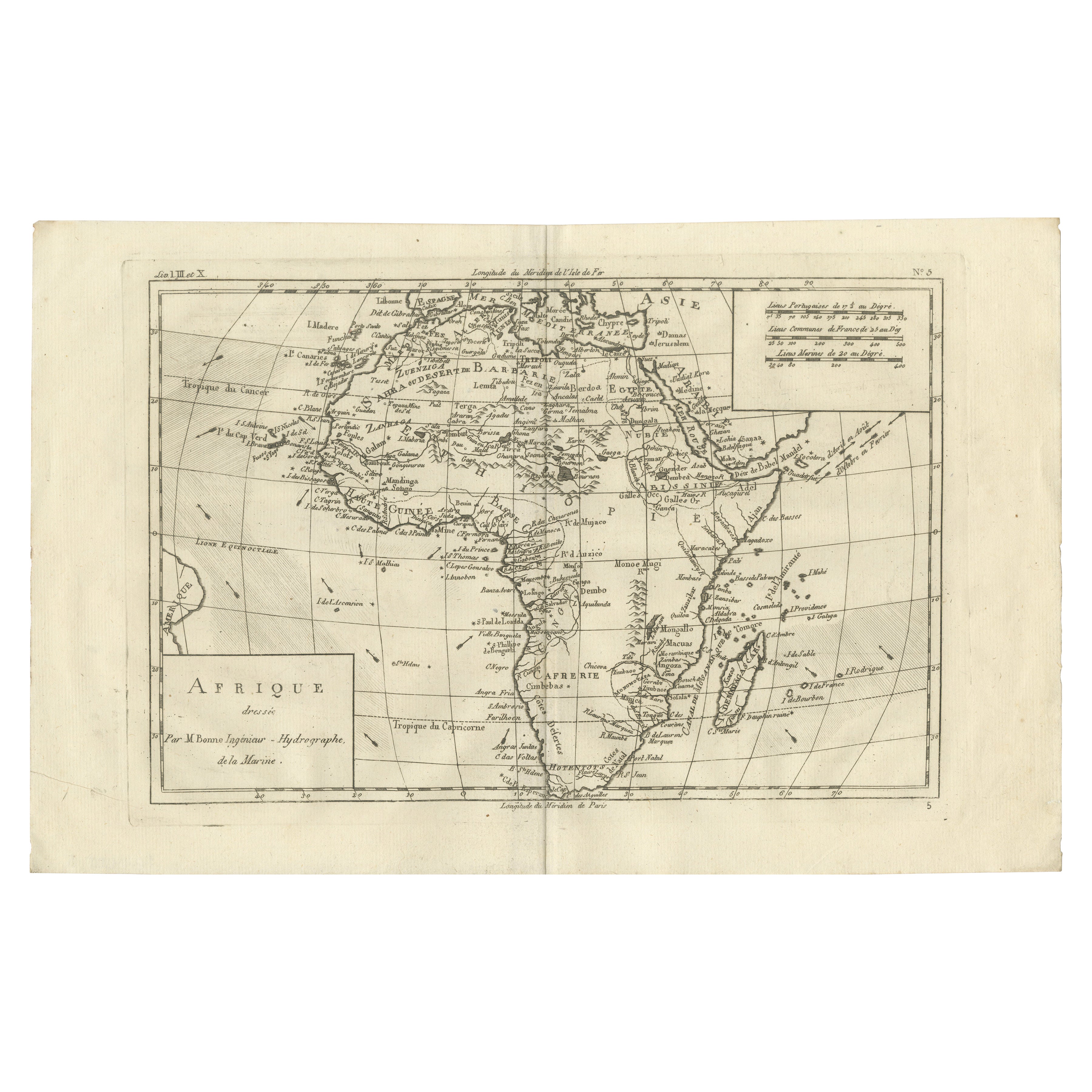
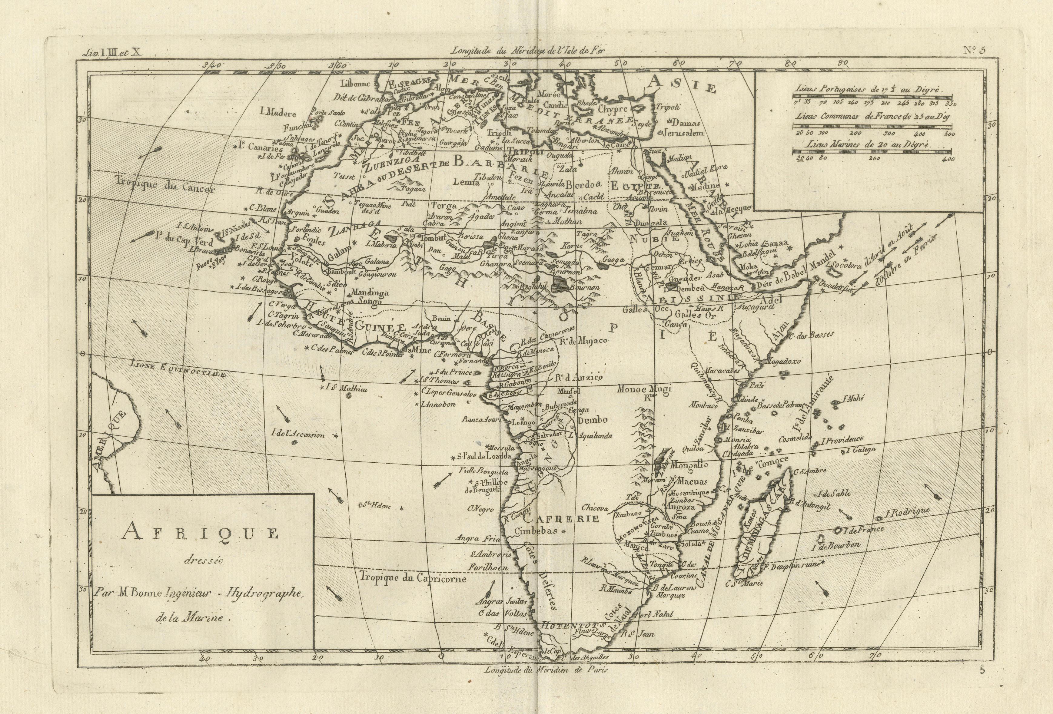
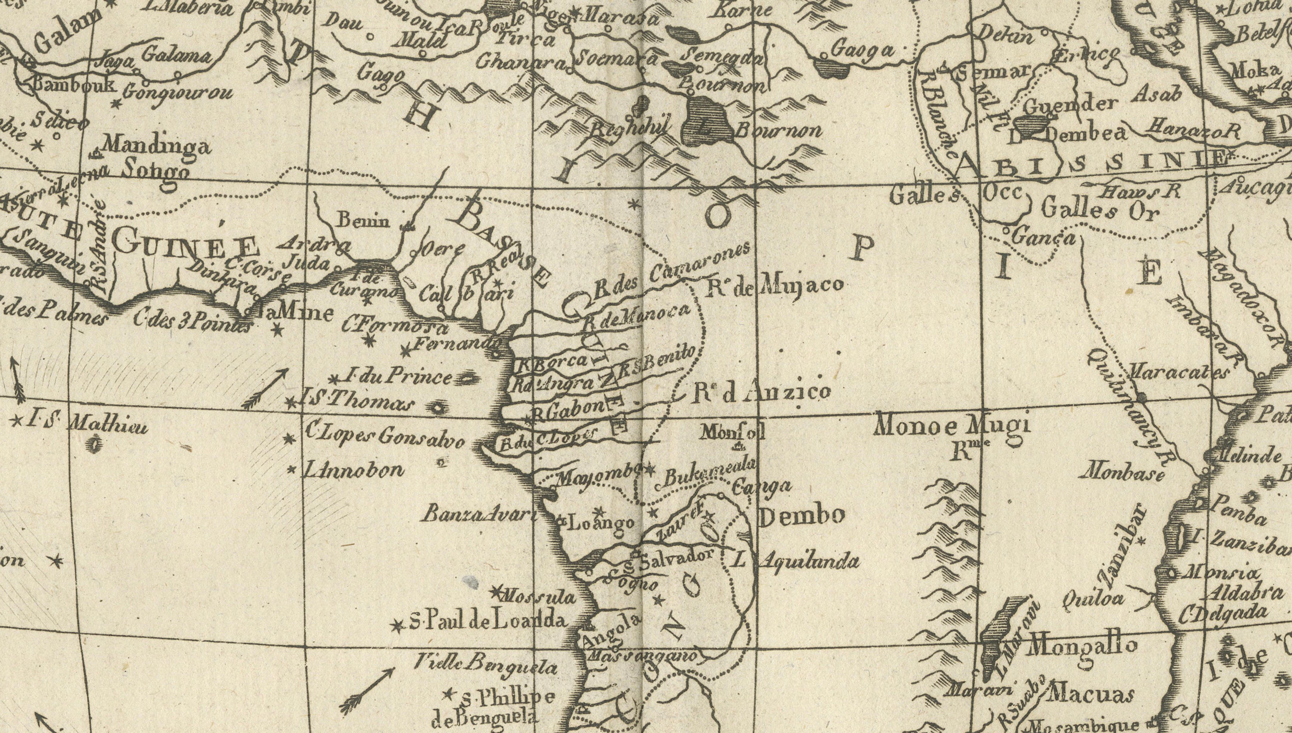
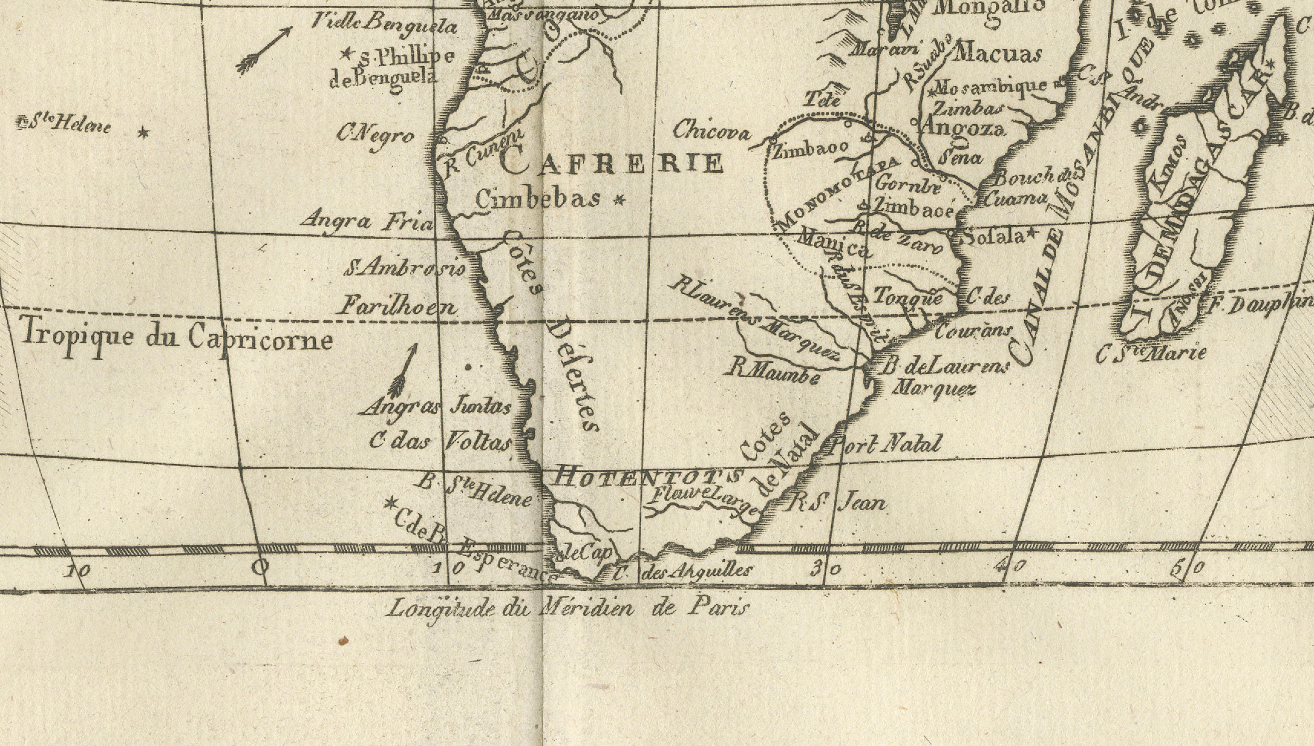
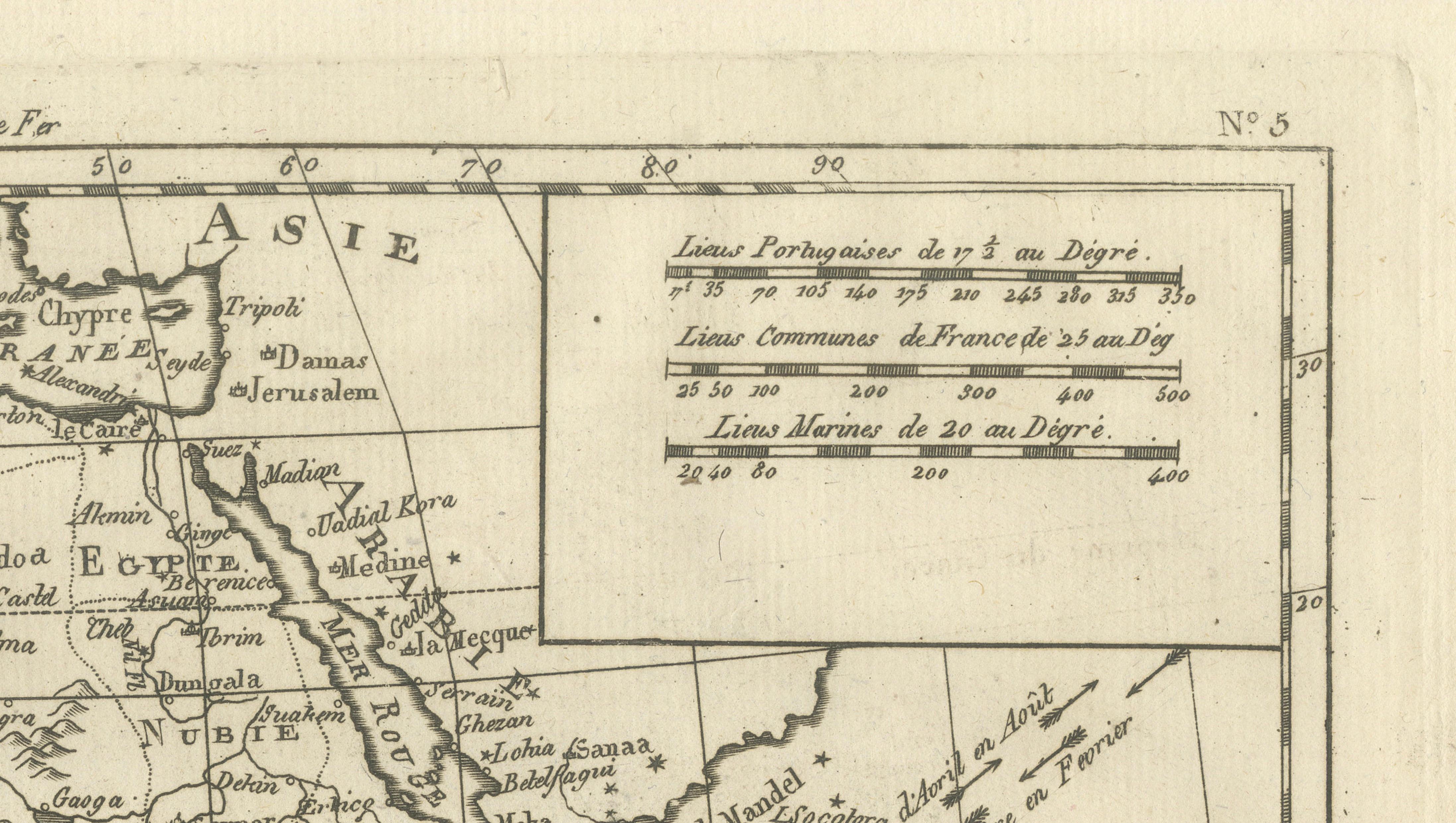
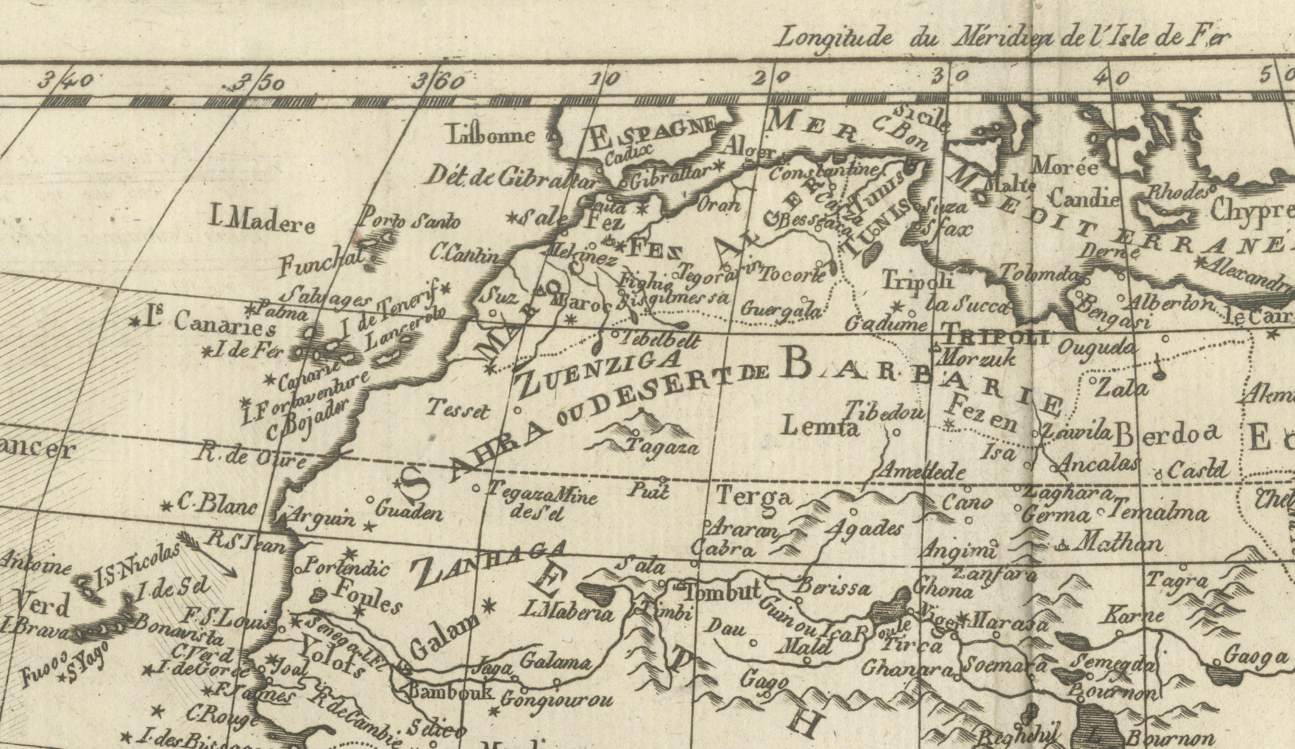
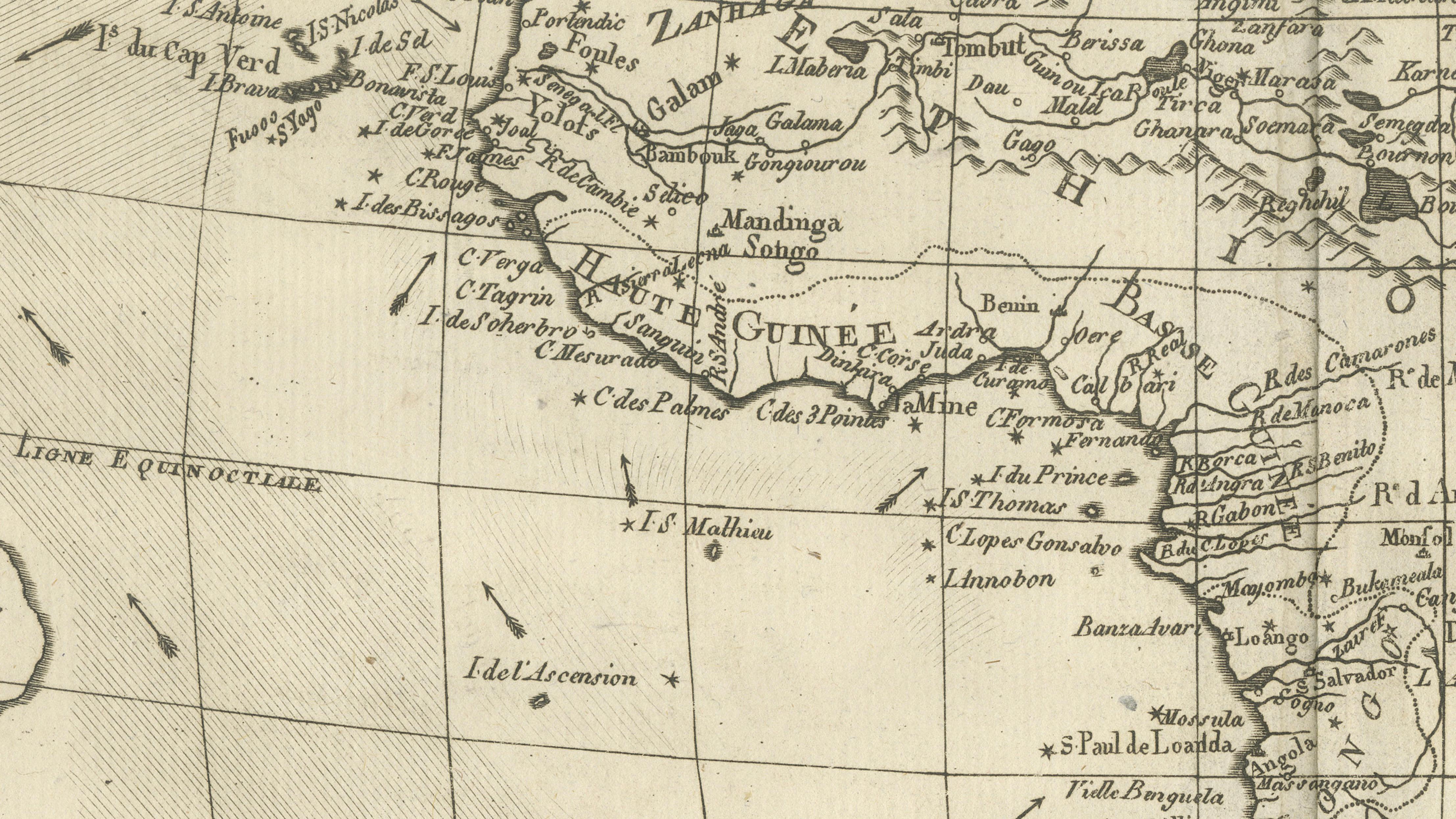
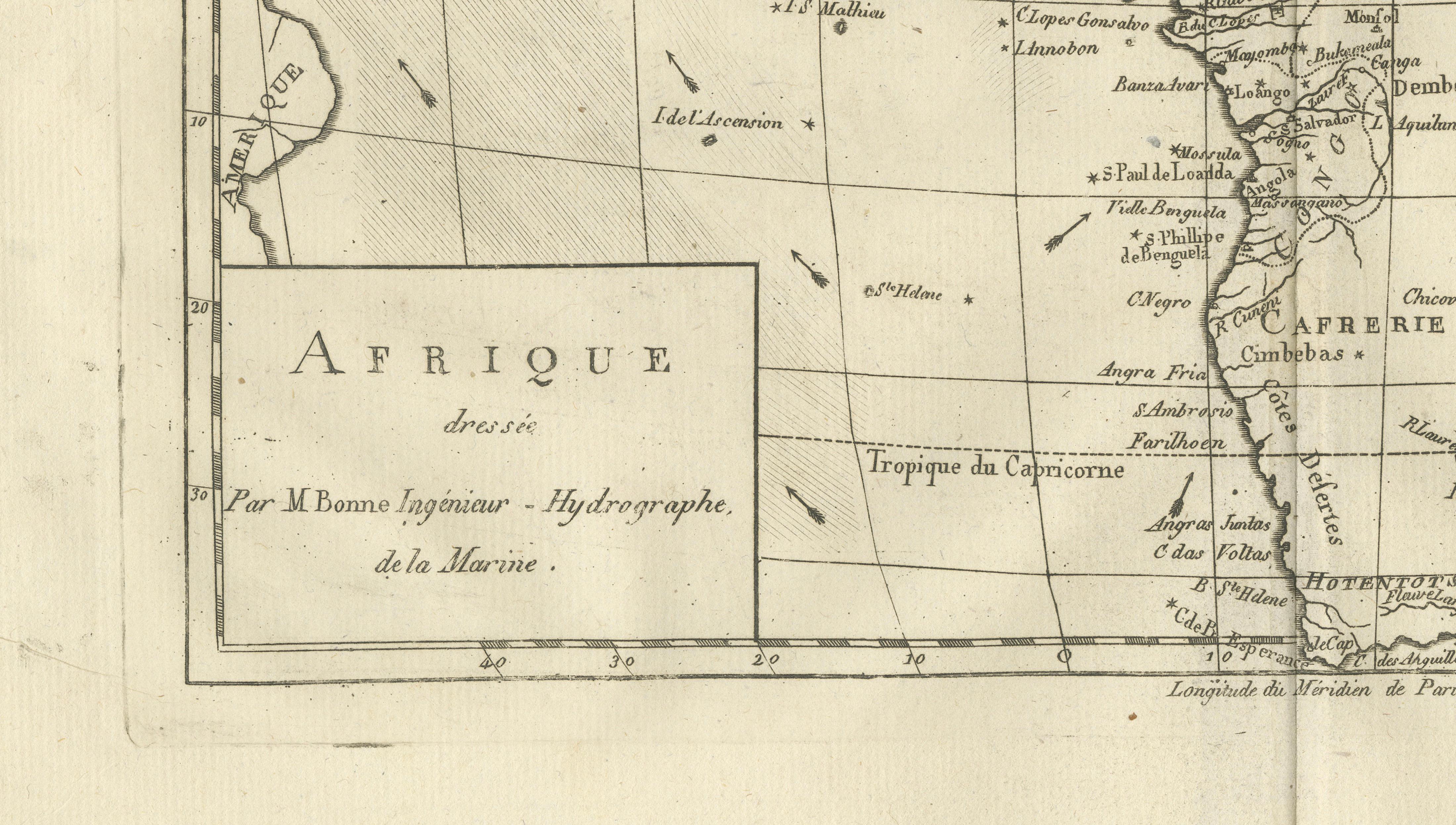
This map of Africa captures European geographic knowledge prior to large-scale colonial penetration. Engraved under the direction of Rigobert Bonne, it shows well-defined coastlines with selectively rendered interior regions. North and West Africa are comparatively detailed, reflecting trade and exploration, while Central and Southern Africa remain more schematic. Rivers, kingdoms, and coastal settlements reflect contemporary sources and classical geography. The map exemplifies Enlightenment restraint and analytical clarity, offering an important visual record of Africa before the transformations of the 19th century.
KEYWORDS
Africa map, Guinea Coast, Cape of Good Hope, Nile sources, Sahara routes, pre-colonial Africa, Atlantic trade coast
CONDITION REPORT
Light age toning. Central fold. Small edge nicks and scattered spots consistent with age.
FRAMING TIPS
Float-mount with light oak or muted gilt frame to emphasize historical character.
Technique: Engraving
Maker: Rigobert Bonne, France, circa 1780