Maps & PrintsBartele Gallery · Langweer
Home / Antique Maps / Sea Charts

Sea Charts · 18th century

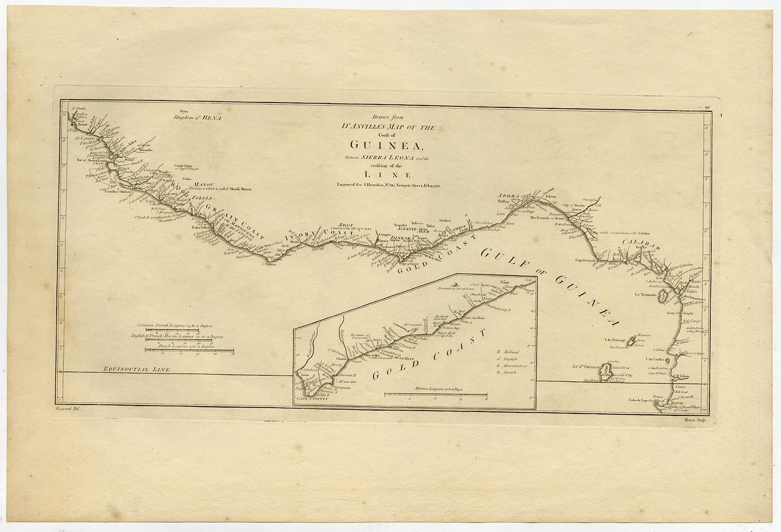
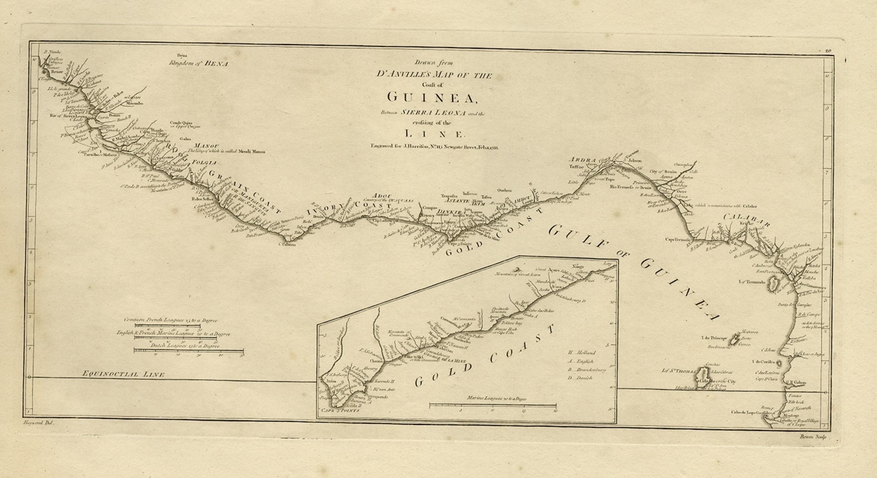
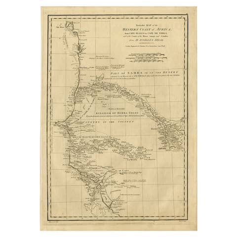
Map of the African Coast, Gulf of Guinea, from Sierra Leone to Gabon, 1788

€ 460

Original antique · The actual sheet photographed · Certificate of authenticity on request · Sold unframed · Worldwide shipping from € 15 (rates)

Date
1788
Technique
Engraved
Sheet size
36.2 × 54.3 cm (14.3 × 21.4 in)
Reference
PCT-56676

Condition

Very good, given age. Some scattered spots of foxing in the margins and map. Two tiny wormholes in the left margin. General age-related toning and/or occasional minor defects from handling. Please review the images for further condition details.
About this sheet

Antique map titled 'Drawn from d'Anvilles Map of the Coast of Guinea, Between Sierra Leone and the crossing of the Line.'

Map of the African coast, Gulf of Guinea, from Sierra Leone to Gabon (this includes Liberia, Ivory Coast, Ghana, Togo, Benin, Nigeria, Cameroon and Gabon). An inset repeats the part that is now Ghana (roughly between Takoradi and Accra), detailing which colonial power owned what. Published by J. Harrison, 1788.

Artists and Engravers: Made by 'Bowen' after 'Haywood'.

More from Sea Charts

Ask about this sheet

Map of the African Coast, Gulf of Guinea, from Sierra Leone to Gabon, 1788
1788 · Ref. PCT-56676 · € 460
We reply by email, usually within one working day.