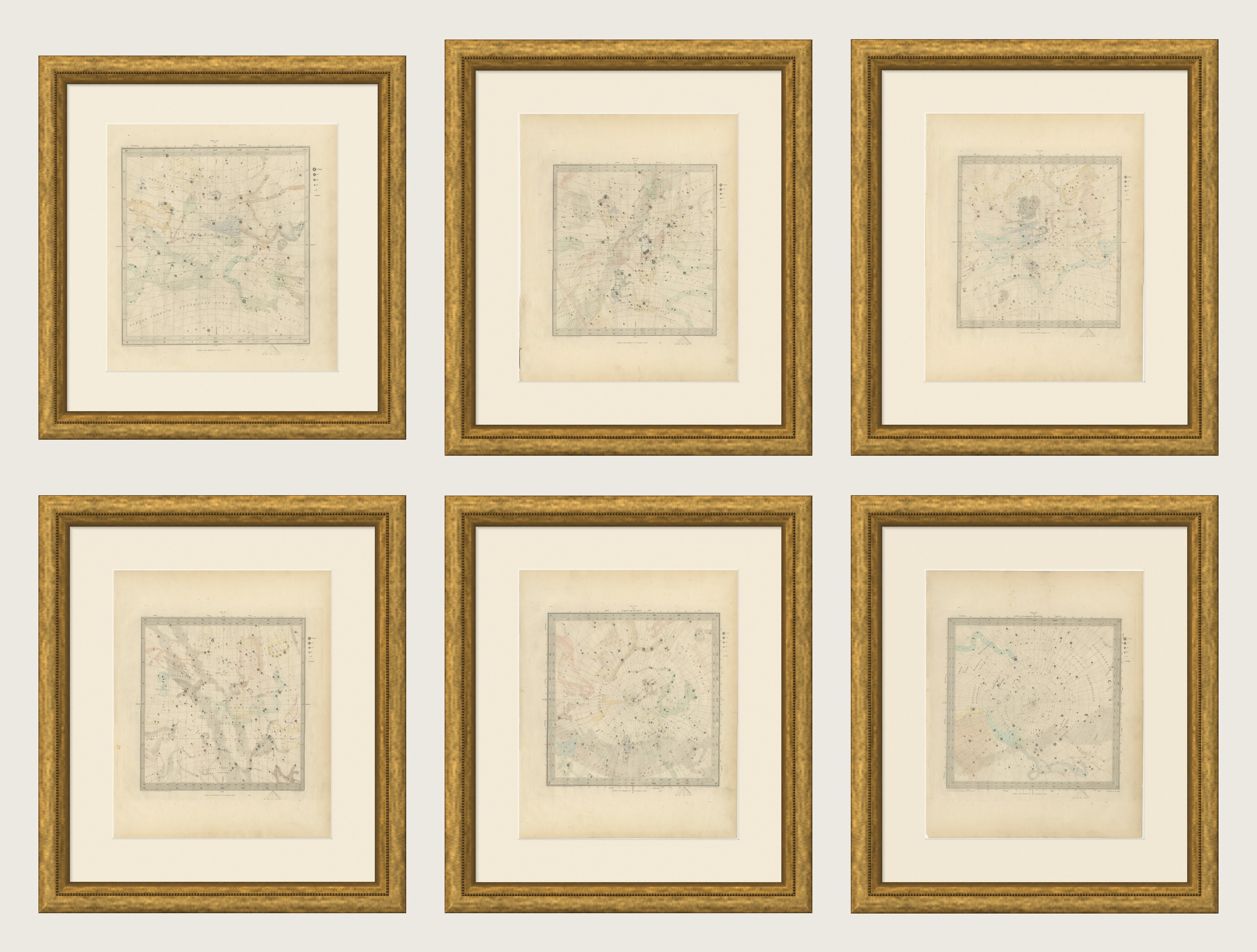
Antique Set of Six Celestial Star Maps, Gnomonic Projection, 1847
€ 2 200
Original antique · The actual sheet photographed · Certificate of authenticity on request · Sold unframed · Worldwide shipping from € 15 (rates)
Date
1847
Mapmaker / artist
Society for the Diffusion of Useful Knowledge
Publisher
Charles Knight and Co., 22 Ludgate Street, London
Technique
Steel Engraving
Coloring
Original hand color
Sheet size
43 × 35 cm (16.9 × 13.8 in)
Condition
Good
Reference
BG-14487-1-49
What the condition grades mean
Excellent
Bright and clean, with no faults worth mentioning.
Very good
Only light signs of age, such as faint toning.
Good
Normal signs of age for a sheet of this period: toning, some foxing, small marks or neat old repairs.
Fair
Clear faults such as staining, tears or repairs, priced to match.
Every fault we see is written in the condition note, and the whole sheet is shown uncropped in the photos.
Condition
Light uneven toning, browner toward the edges. Marked handling soiling along the edges of all six sheets. Scattered foxing in the margins of all six sheets. Slight wear at the corners of one of the six sheets.
About this sheet
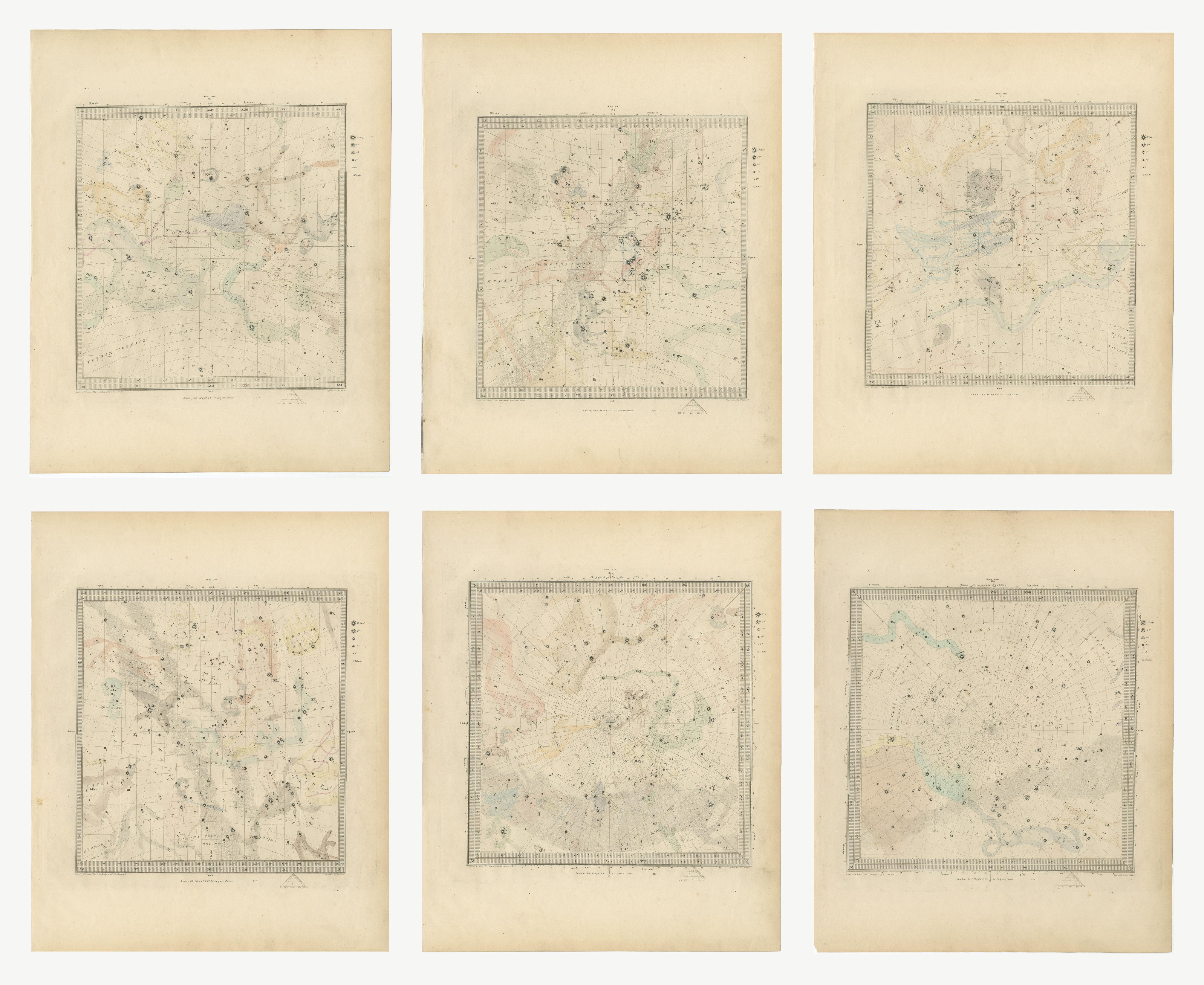
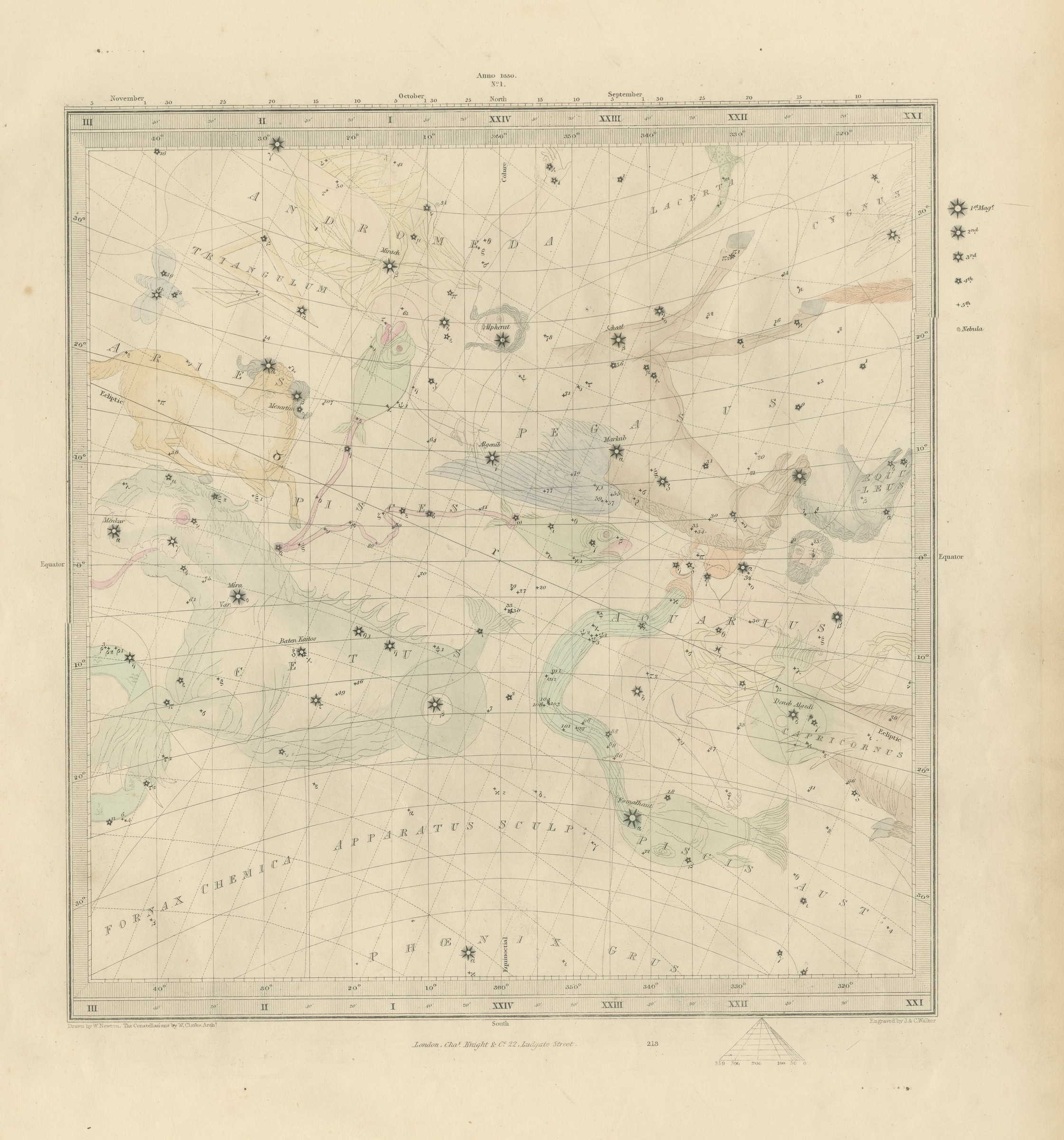
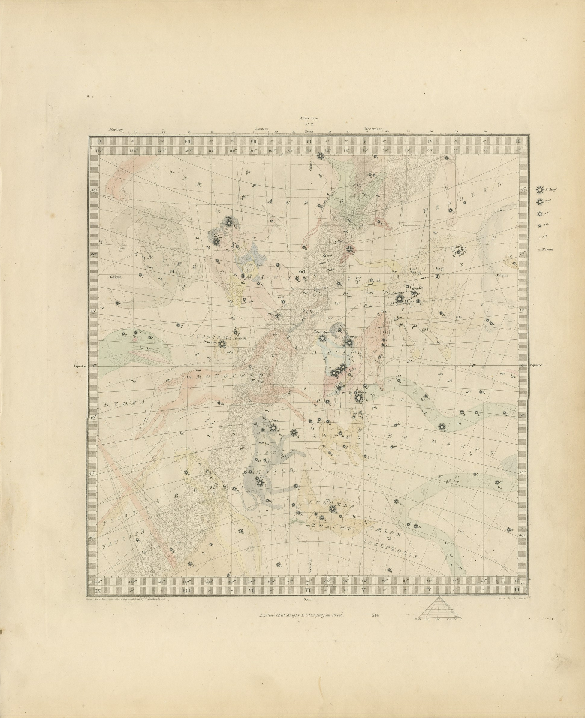
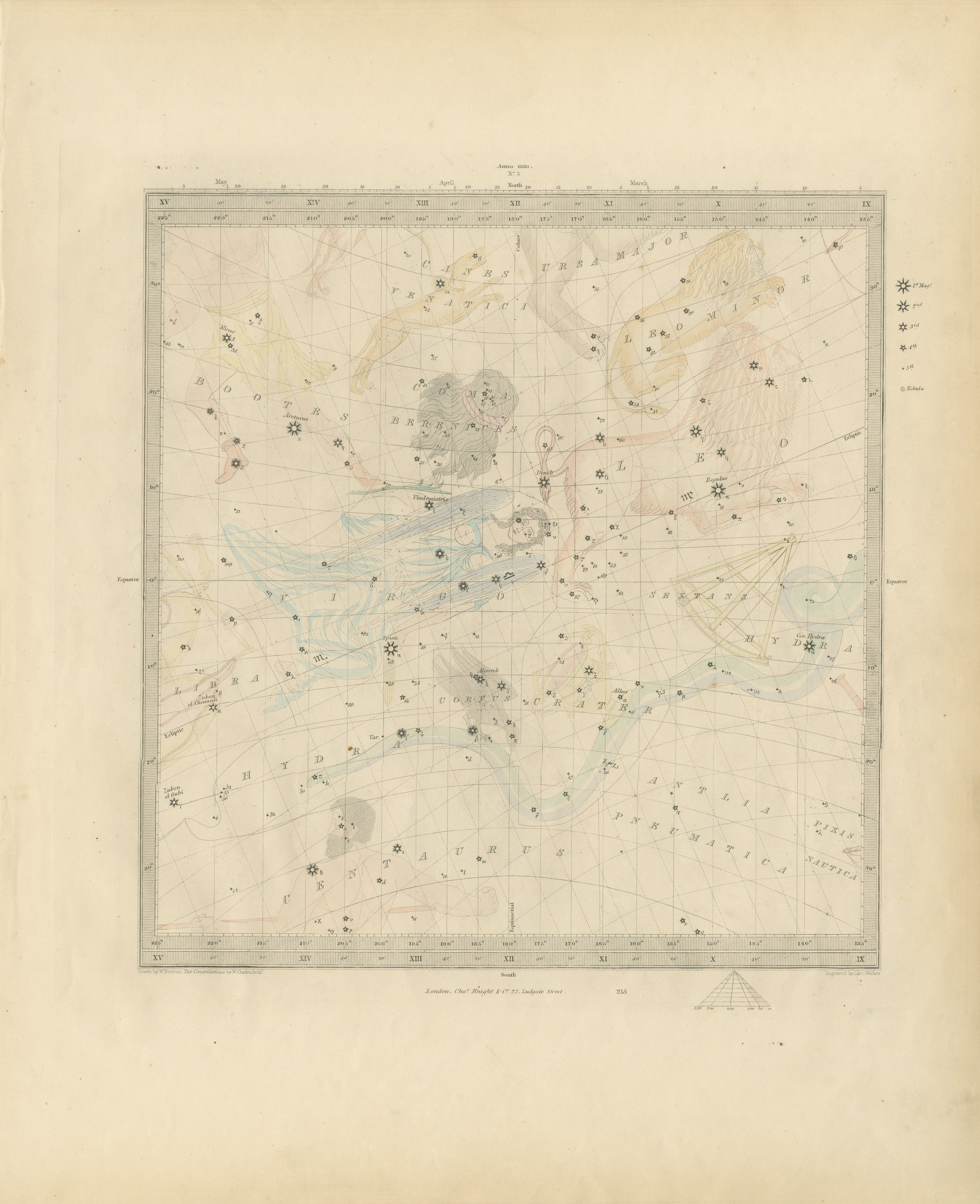
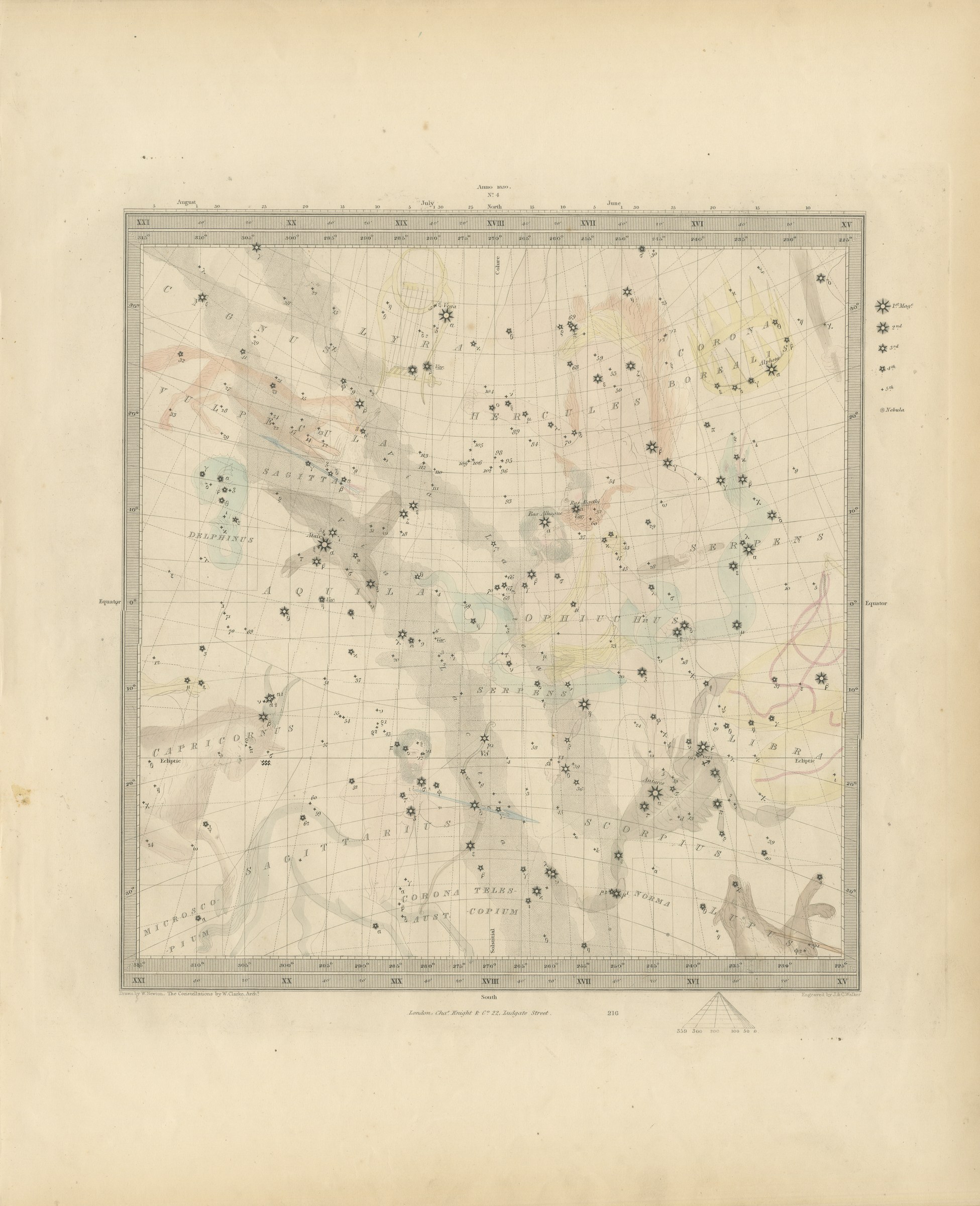
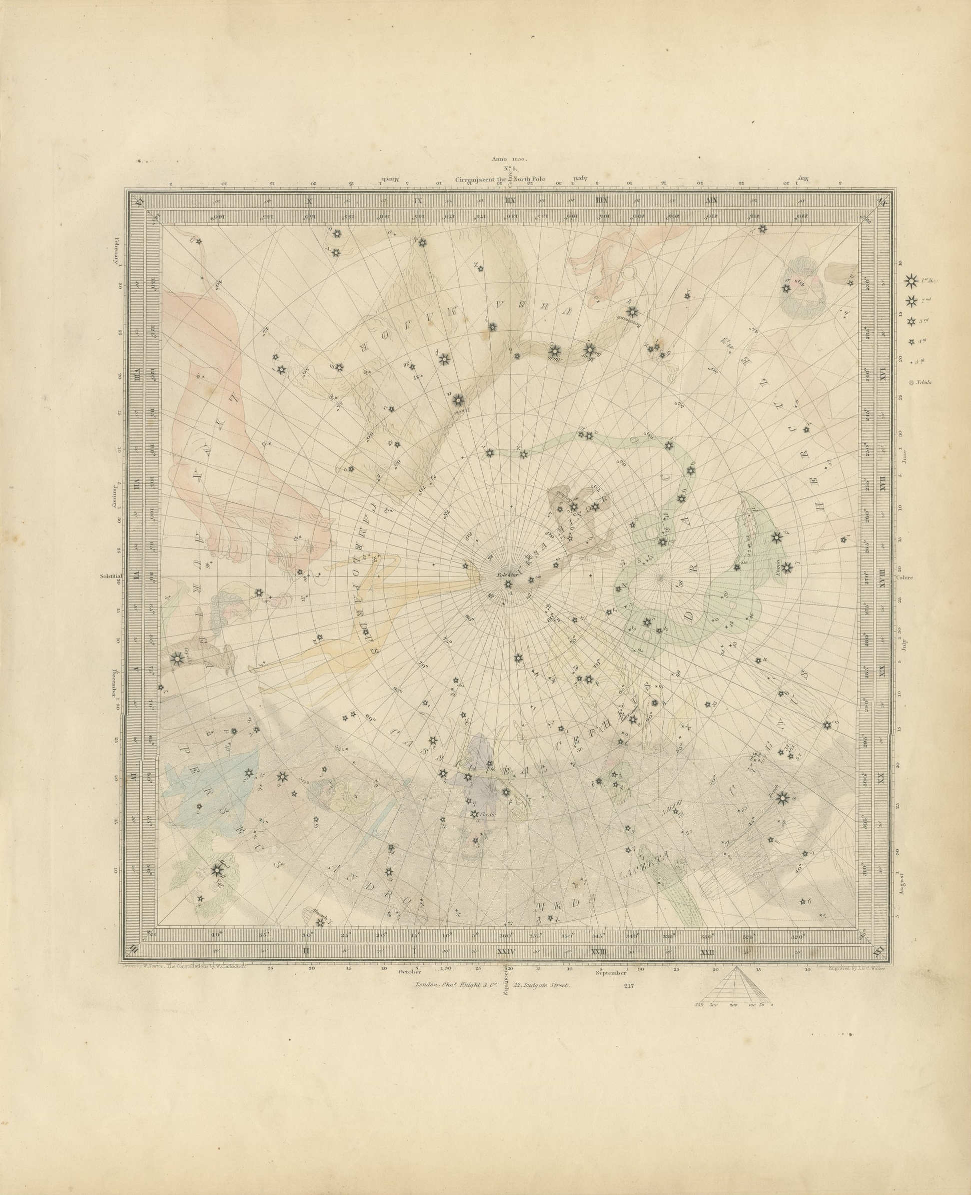
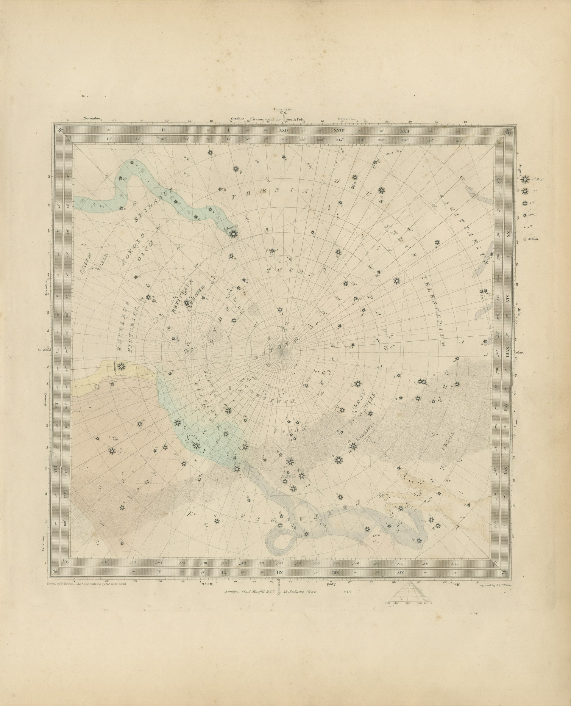
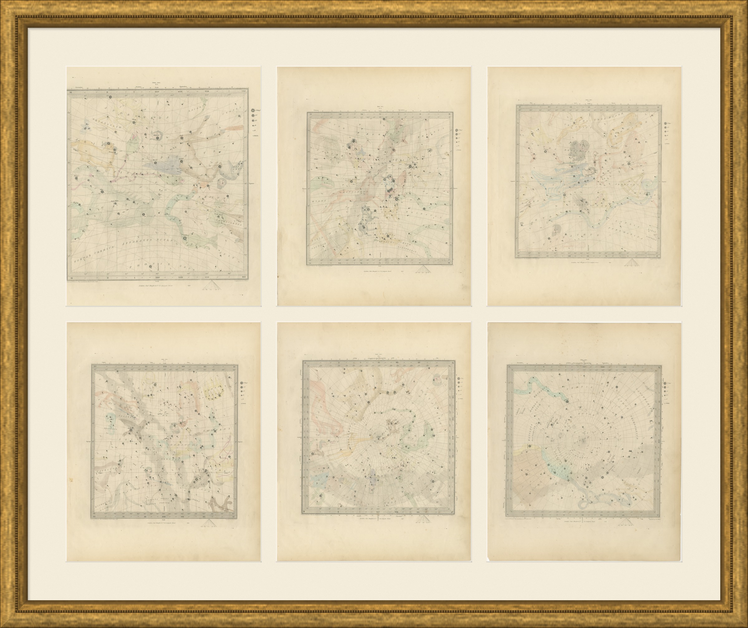
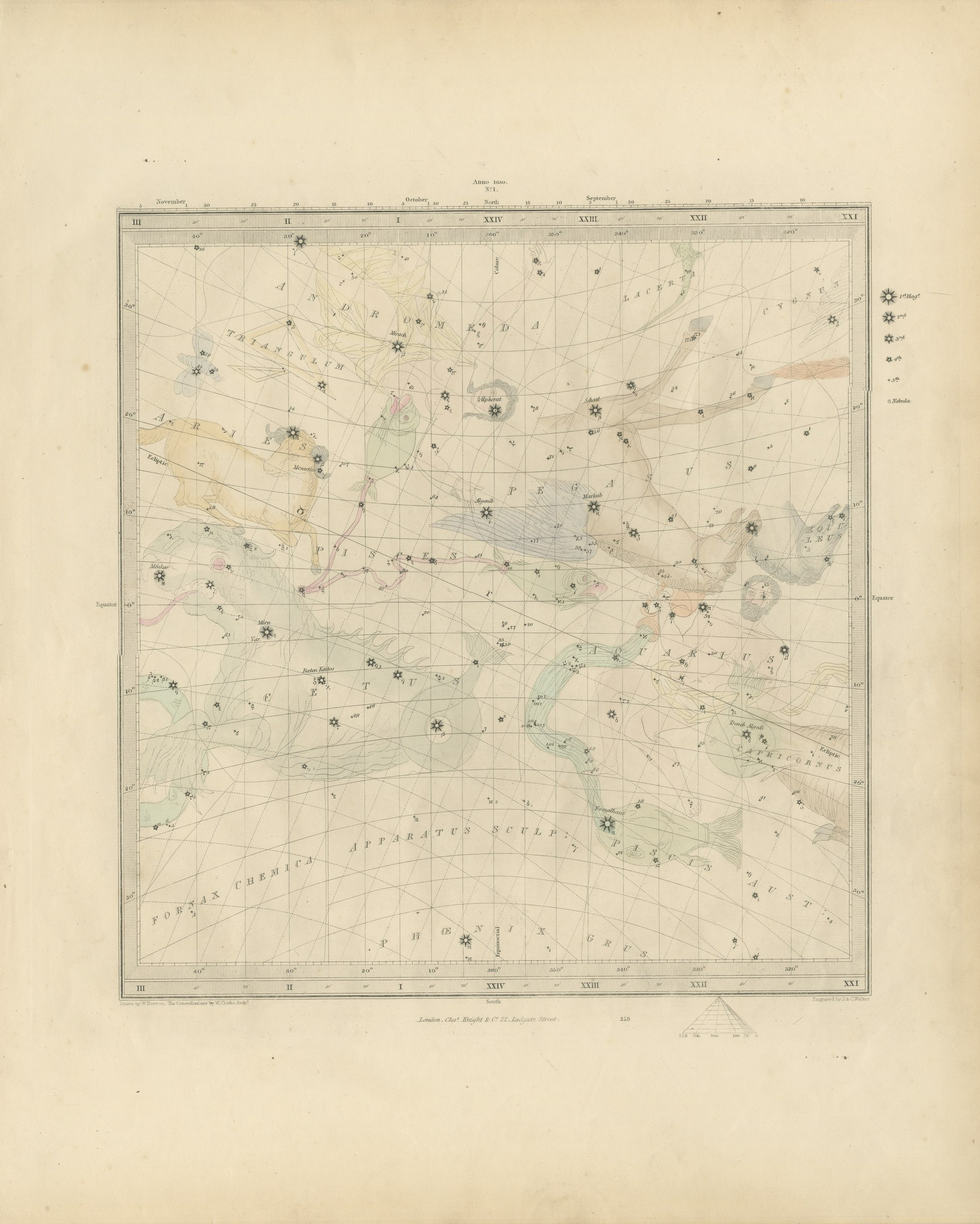
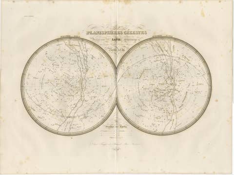
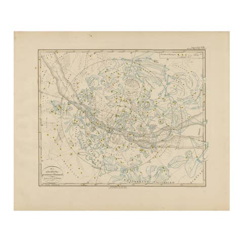
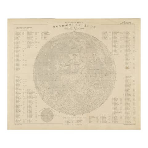
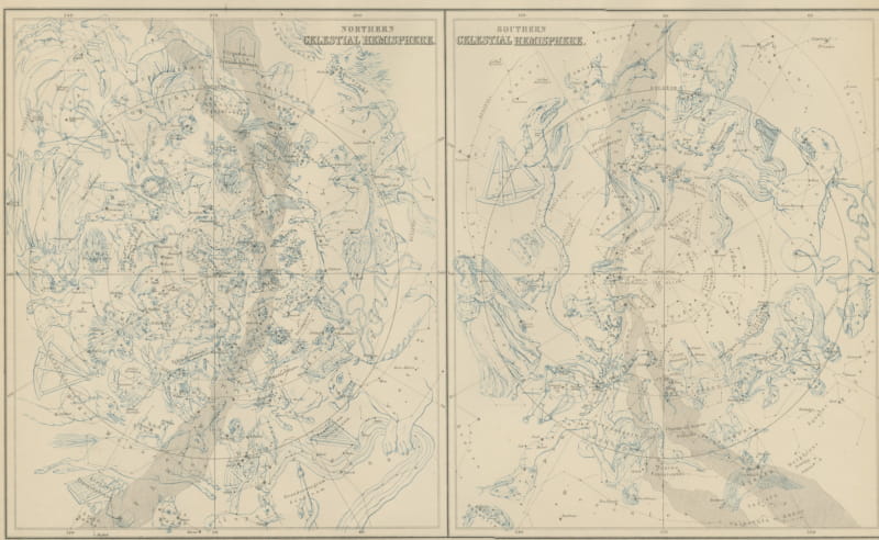
This is a set of six original sheets sold together, six antique celestial star maps steel engraved and published in the atlas of the Society for the Diffusion of Useful Knowledge. The six charts together cover the whole sky as it stood in 1830. Four of them carry the equatorial band in four sections, taking the reader through Andromeda, Pegasus, Pisces and Cetus, then Orion, Taurus, Gemini, Canis Major and Auriga, then Leo, Virgo, Ursa Major and Bootes, then Hercules, Ophiuchus, Scorpius, Sagittarius and Lyra. The last two are circumpolar, one circumjacent the north pole and one circumjacent the south. The constellation figures are drawn as faint tinted bodies behind the stars, which are graded from first to fifth magnitude with nebulae separately marked, and the margins carry the calendar months, hours of right ascension and degrees of declination. The lettering credits the drawing to W. Newton, the constellations to the architect W. Clarke and the engraving to J. and C. Walker, and the volume title page records that the charts were revised by the Reverend W. R. Dawes.
The six sheets are plates 213 to 218 of the third volume of the Society's atlas, Plans of Cities, Stars and Index to Places, published in London by Charles Knight at 22 Ludgate Street in 1847, and the volume carries its own second title page for the star maps. The plates are lettered as drawn by W. Newton, with the constellations by W. Clarke, architect, and engraved by J. and C. Walker. The coloring is light original hand color in pastel shades, laid over the constellation figures so that the stars themselves stay clear.
A complete set of six is how these charts were meant to be read and it is also how they hang best: six matching sheets make a wall in a way that one chart on its own never does. William Rutter Dawes was among the finest observers of the century and his revision is what gives the set its standing with collectors of astronomy. Complete sets come to the market far less often than single charts.
Light uneven toning, browner toward the edges. Marked handling soiling along the edges of all six sheets. Scattered foxing in the margins of all six sheets. Slight wear at the corners of one of the six sheets.
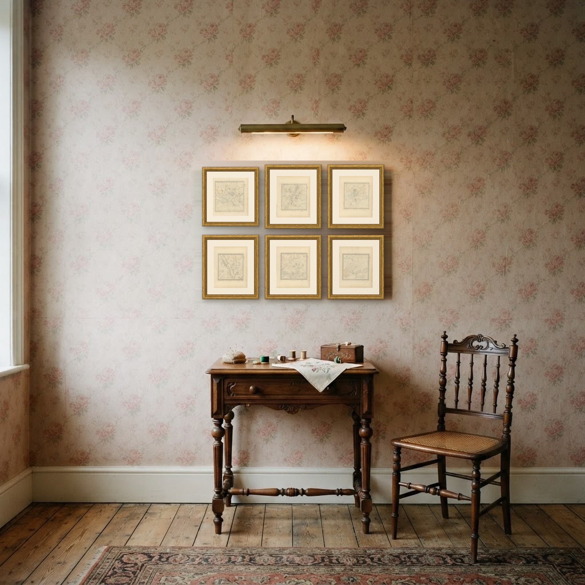
These are original antique maps, not modern reproductions. This item is sold unframed. Any framed or interior images are shown for presentation and inspiration only, unless the listing explicitly states that the item is sold framed.