Antique Maps of Europe
639 original sheets
Western Europe 1908Northern Europe 146Central Europe 88Eastern Europe 102South-East Europe 135Southern Europe 275Europe as a Whole 169
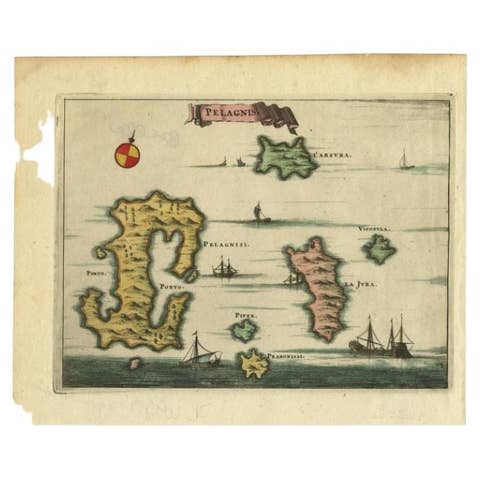
Antique Map of the Island of Kyra Panagia by Dapper, 1688
1688 · € 150
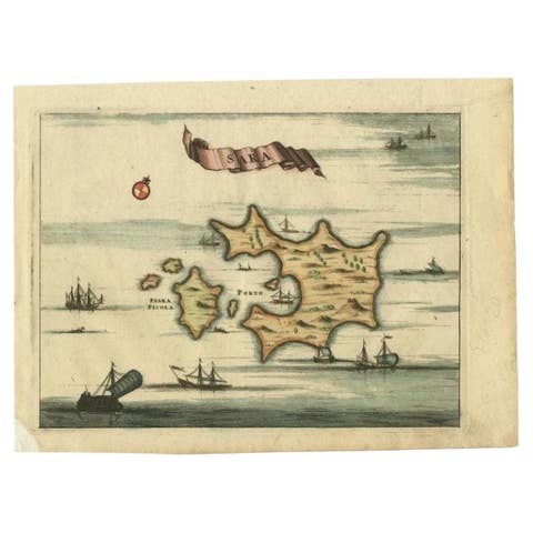
Antique Map of the Island of Psara by Dapper, 1688
1688 · € 150
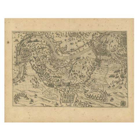
Antique Map of the Region of Grave by Orlers, 1615
1615 · € 160
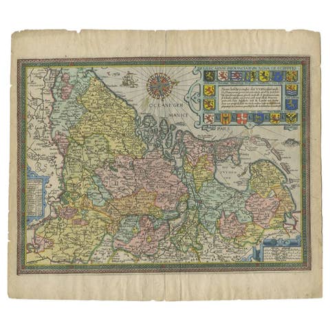
Antique Map of the Netherlands by Guicciardini, 1612
1612 · € 449
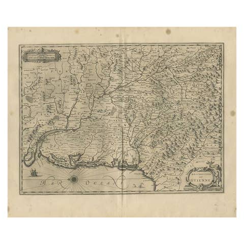
Antique Map of the Region of Guyenne by Janssonius, 1657
1657 · € 358
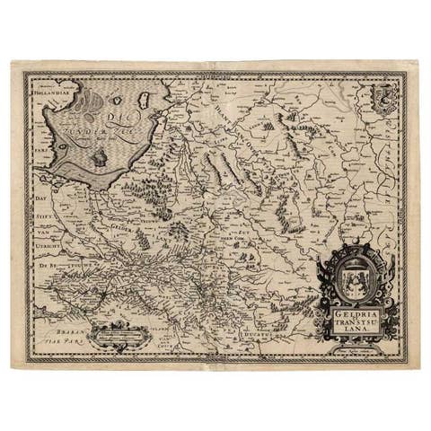
Antique Map of the Provinces of Gelderland and Overijssel by Kaerius, 1617
1617 · € 713
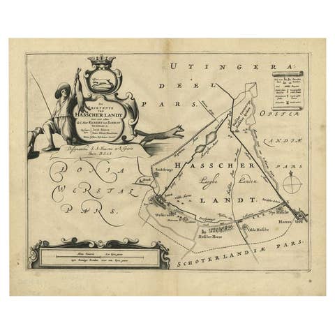
Antique Map of the Region of Haskerland by Schotanus, 1664
1664 · € 197
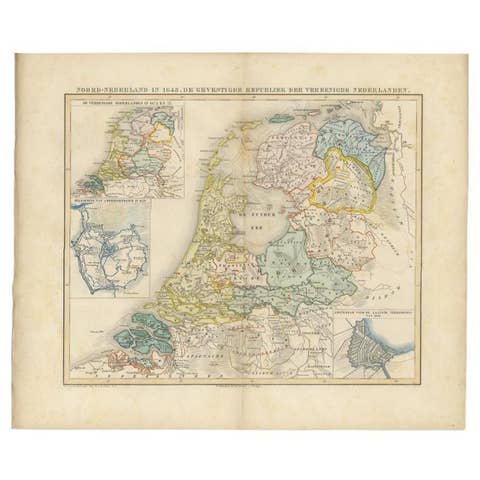
Antique Map of the Netherlands in 1648 by Mees, 1855
1648 · € 128
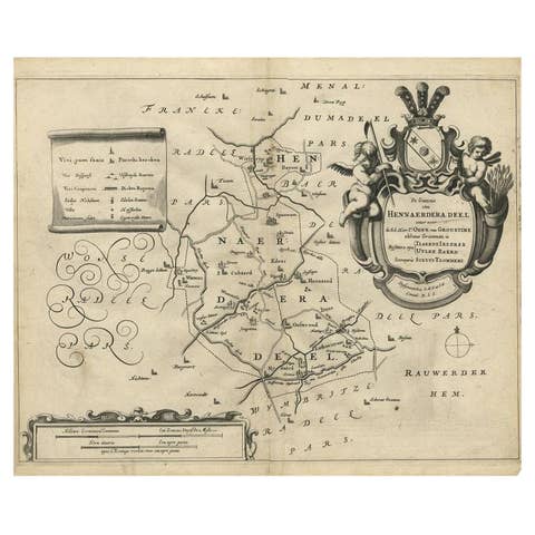
Antique Map of the Region of Hennaarderadeel by Schotanus, 1664
1664 · € 270

Antique Map of the Lower Alsace Region of France by Mapmaker Hondius, c.1630
1630 · € 440
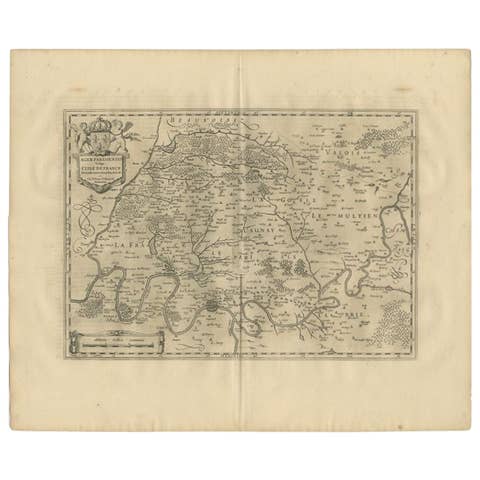
Antique Map of the Region of 'Île de France' by Janssonius, 1657
1657 · € 425
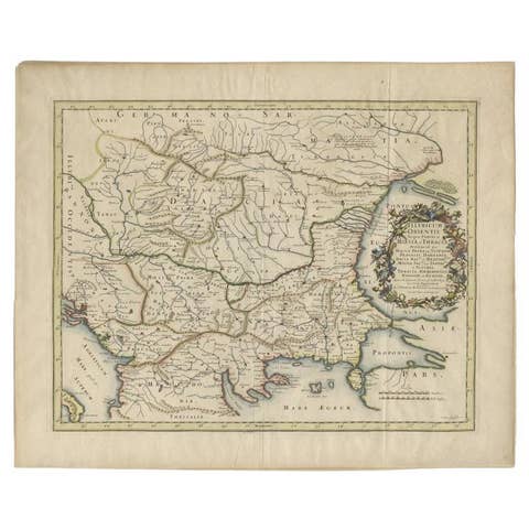
Antique Map of the Region Around the Baltic Sea by Cordier, c.1670
1670 · € 1 350
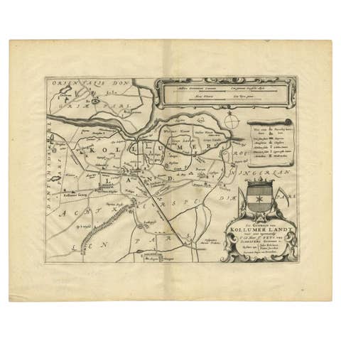
Antique Map of the Region of Kollumerland by Schotanus, 1664
1664 · € 270
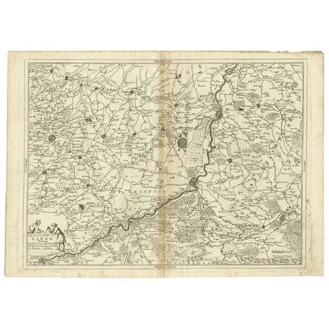
Antique Map of the Region of Liege by Coronelli, 1690
1690 · € 370
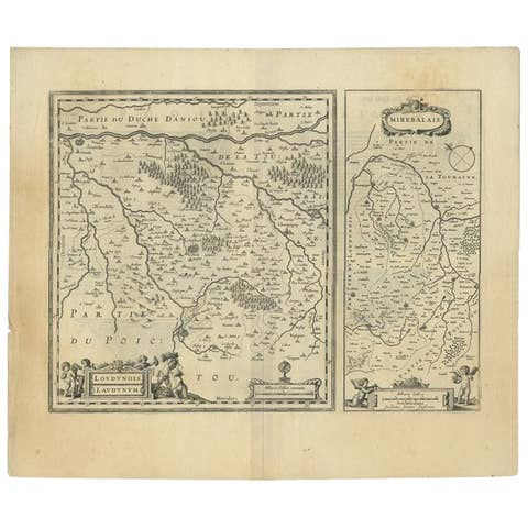
Antique Map of Loudun and Mirebeau by Janssonius, c.1650, France
1650 · € 363
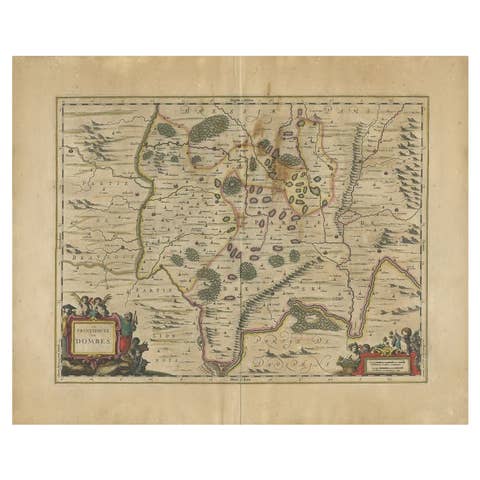
Antique Map of the Region of Lyon by Janssonius, 1657
1657 · € 413
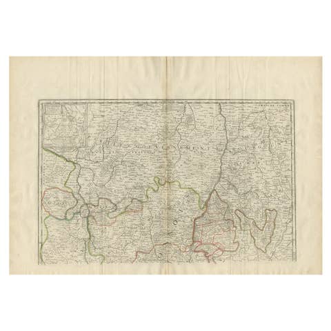
Antique Map of the Region of Lyonnais by Nolin, 1697
1697 · € 237
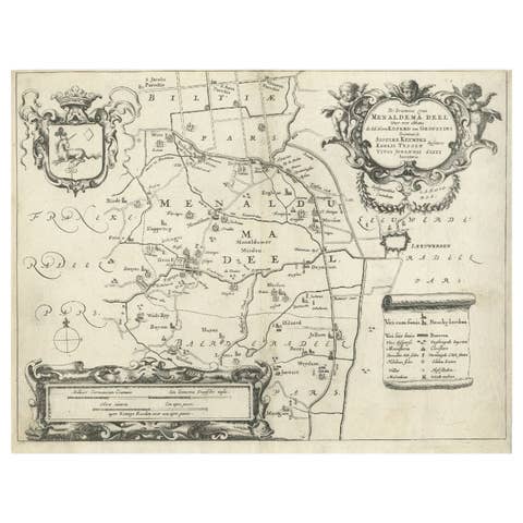
Antique Map of the Region of Menaldumadeel by Schotanus, 1664
1664 · € 200
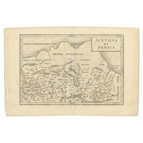
Antique Map of the Region Between the Rhine and Elbe River by Cluver, 1685
1685 · € 90
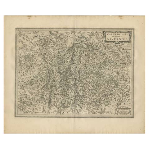
Antique Map of the Region of Nivernais by Janssonius, 1657
1657 · € 389
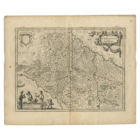
Antique Map of the Region Between the Seine and Loire Rivers by Janssonius, 1657
1657 · € 289
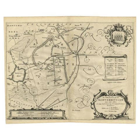
Antique Map of the Region of Achtkarspelen by Schotanus, 1664
1664 · € 270
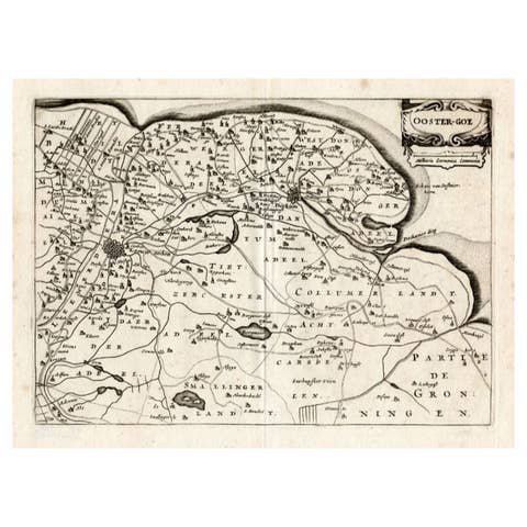
Antique Map of the Region of Oostergo by Colom, 1635
1635 · € 125
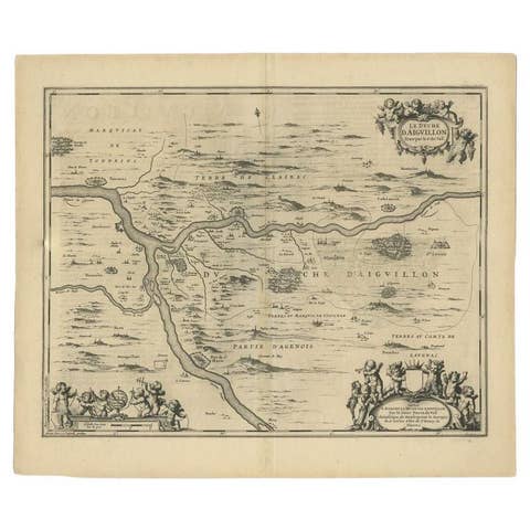
Antique Map of the Region of Aiguillon by Janssonius, c.1650
1650 · € 328
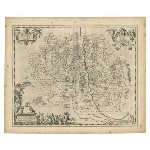
Antique Map of the Region of Aire-sur-L'Adour by Janssonius, 1657
1657 · € 343
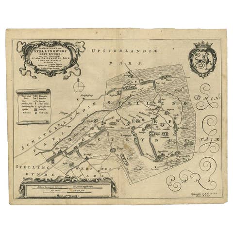
Antique Map of the Region of Ooststellingwerf by Schotanus, 1664
1664 · € 181
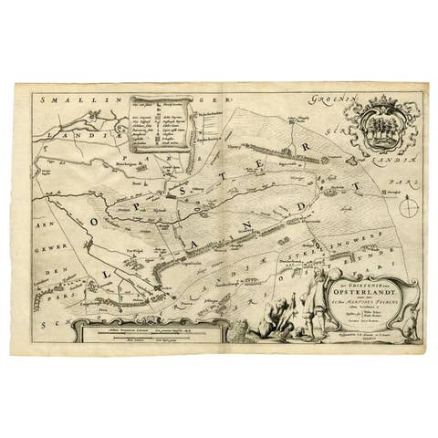
Antique Map of the Region of Opsterland by Schotanus, 1664
1664 · € 270
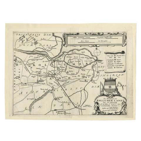
Antique Map of the Region of Kollumerland by Schotanus, 1664
1664 · € 118
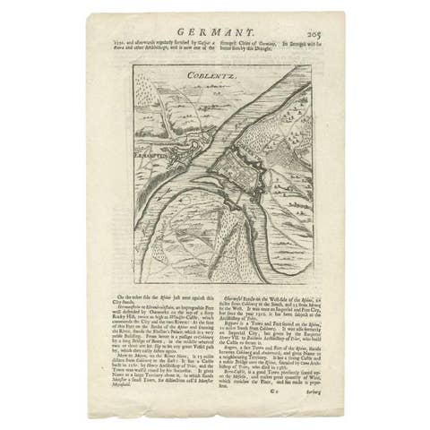
Antique Map of the Koblentz Region by Moll, 1695
1695 · € 128
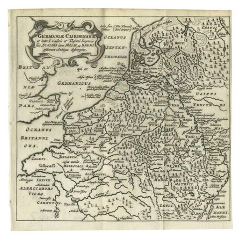
Antique Map of the Low Countries and Surroundings in Europe, 1685
1685 · € 150
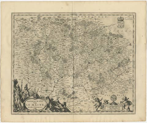
Antique Map of the Maine Region by Janssonius, 1657
1657 · € 440
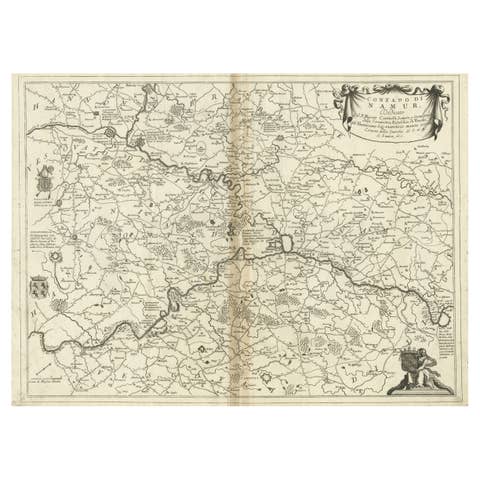
Antique Map of the Namur Region in France by Coronelli, c.1695
1695 · € 390
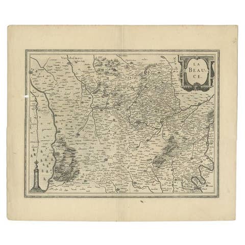
Antique Map of the Region of Beauce in France by Janssonius, c.1650
1650 · € 410
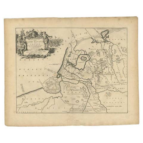
Antique Map of the Old Land of Batavia and FriesLand, The Netherlands, 1697
1697 · € 189
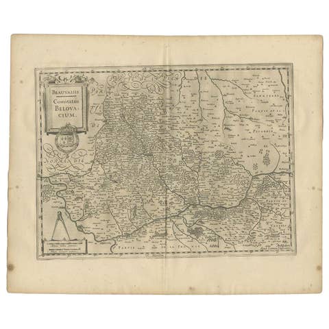
Antique Map of the Region of Beauvais by Janssonius, 1657
1657 · € 320
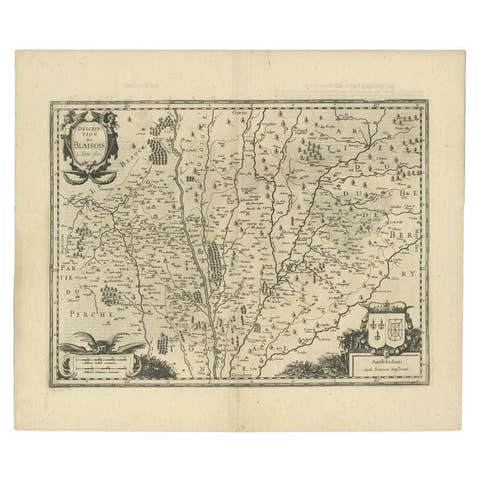
Antique Map of the Region of Blois by Janssonius, c.1650
1650 · € 313
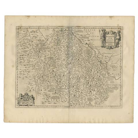
Antique Map of the Region of Bourbon by Janssonius, 1657
1657 · € 413
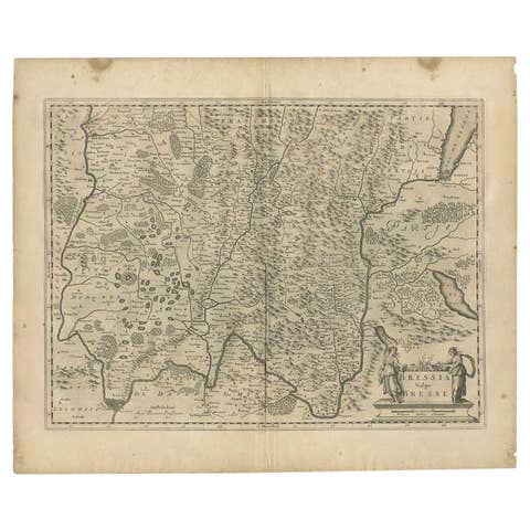
Antique Map of the Region of Bresse by Janssonius, 1657
1657 · € 320
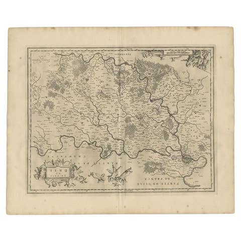
Antique Map of the Region of Brie by Janssonius, 1657
1657 · € 343
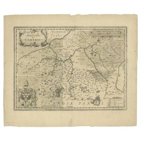
Antique Map of the Region of Cambrai in France, c.1630
1630 · € 440
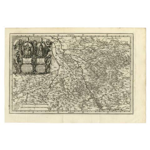
Antique Map of the Region of Cologne and Liege by Scherer, 1699
1699 · € 225
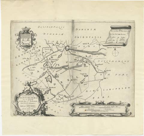
Antique Map of the Region of Dantumadeel by Schotanus, 1664
1664 · € 140
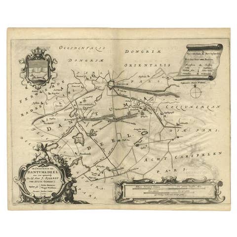
Antique Map of the Region of Dantumadeel, Friesland, The Netherlands, 1664
1664 · € 195
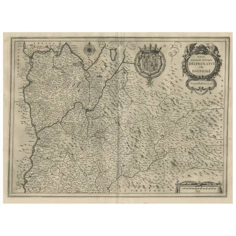
Antique Map of the Region of Dauphiné by Janssonius, 1657
1657 · € 480
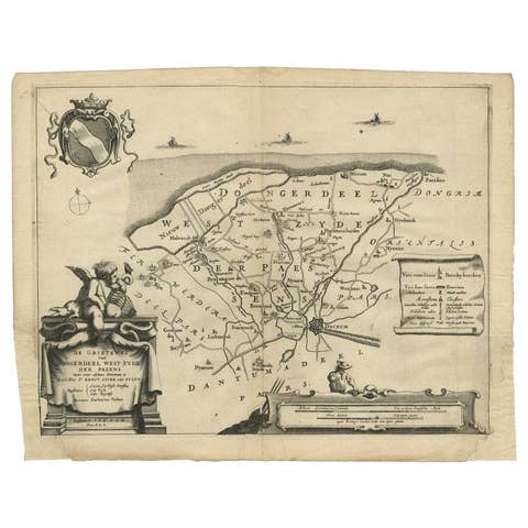
Antique Map of the Region of Dongeradeel by Schotanus, 1664
1664 · € 148
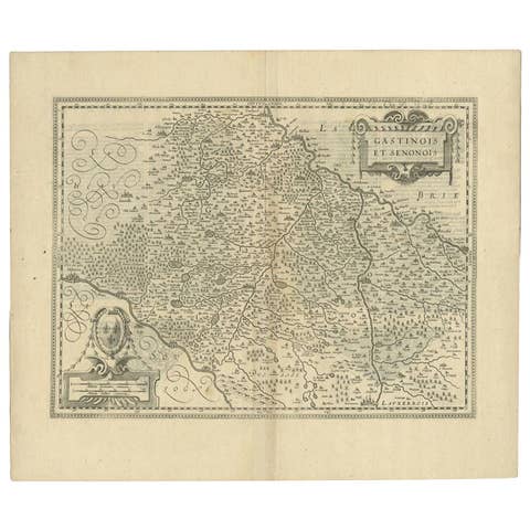
Antique Map of the Region of Étampes and Sens by Janssonius, c.1650
1650 · € 355
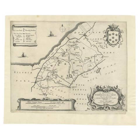
Antique Map of the Region of Ferwerderadeel in The Netherlands, 1664
1664 · € 160
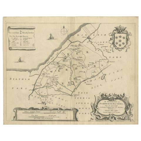
Antique Map of the Region of Ferwerderadeel by Schotanus, 1664
1664 · € 110