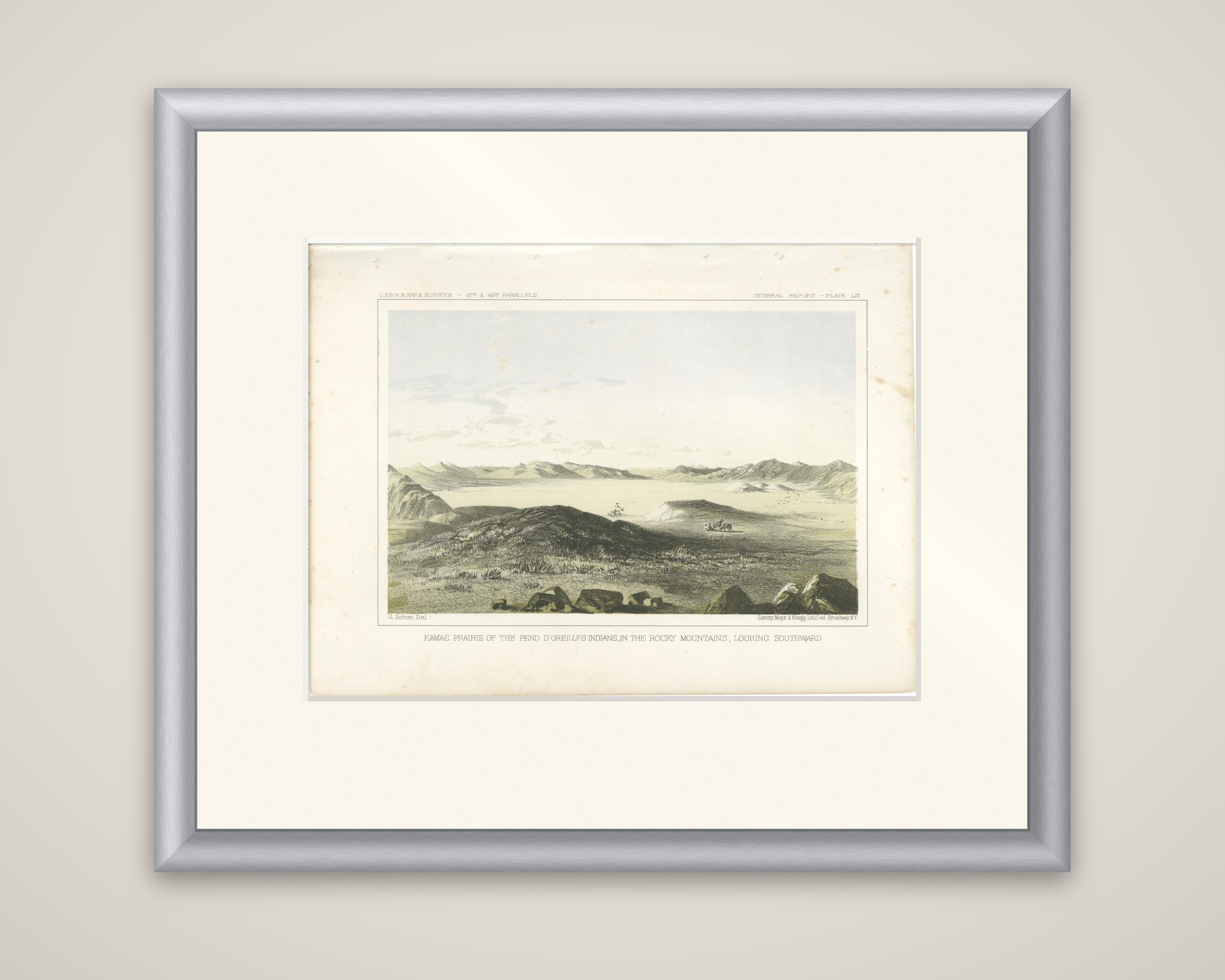
The Kamas Prairie - Rocky Mountains Landscape with Pend d'Oreilles Legacy - 1856
€ 220
Original antique · The actual sheet photographed · Certificate of authenticity on request · Sold unframed · Worldwide shipping from € 15 (rates)
Date
1856
Sheet size
20.7 × 28.3 cm (8.1 × 11.1 in)
Reference
BG-14038-59
What the condition grades mean
Excellent
Bright and clean, with no faults worth mentioning.
Very good
Only light signs of age, such as faint toning.
Good
Normal signs of age for a sheet of this period: toning, some foxing, small marks or neat old repairs.
Fair
Clear faults such as staining, tears or repairs, priced to match.
Every fault we see is written in the condition note, and the whole sheet is shown uncropped in the photos.
Condition
Well-preserved with minor age spots. The colors are subtle yet clear, with light edge wear typical of its age. A remarkable collector’s piece.
About this sheet
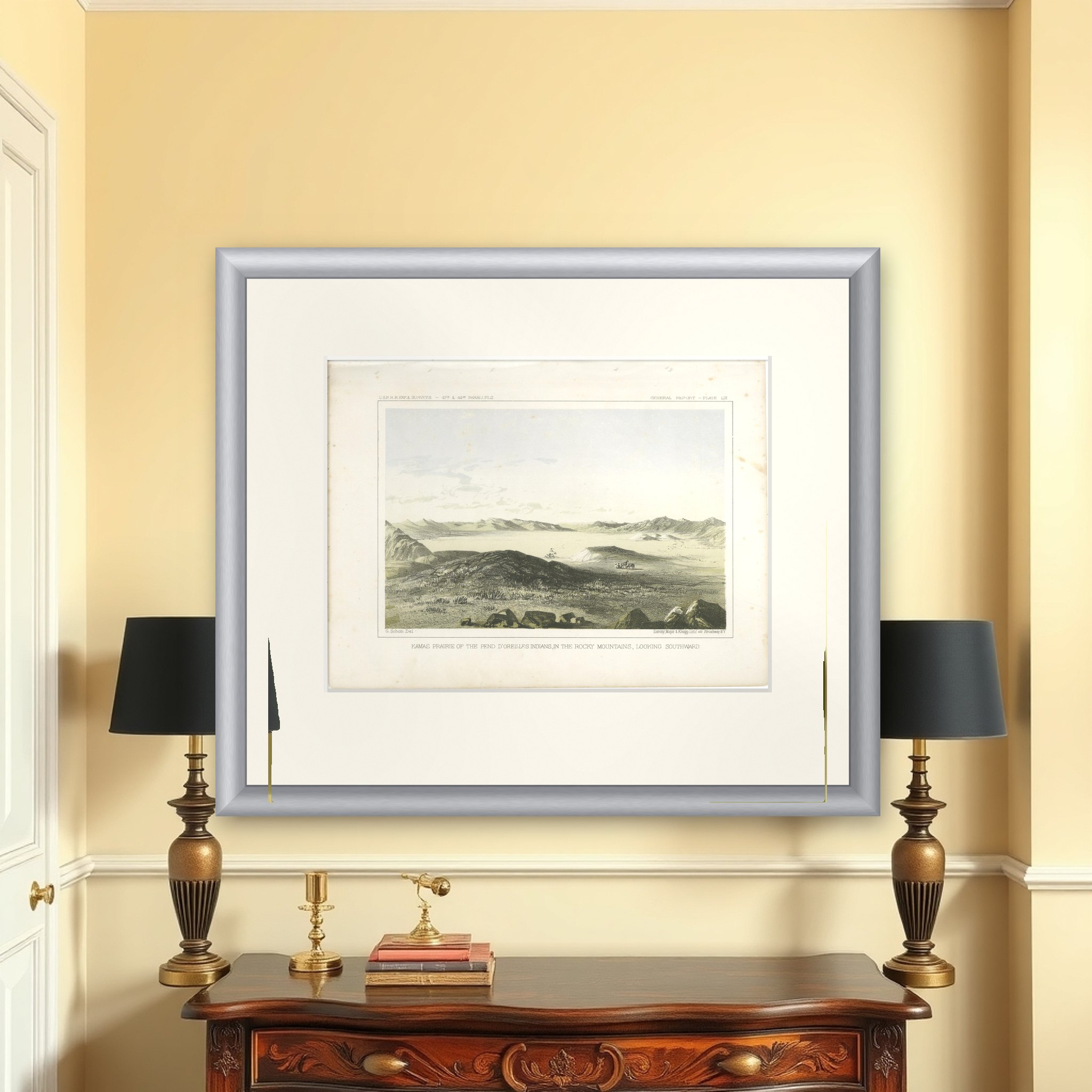
Kamas Prairie, a high valley in the Rocky Mountains, an original tinted lithograph issued in 1856. The caption reads "Kamas Prairie of the Pend d'Oreille Indians, in the Rocky Mountains, Looking Southward", with "G. Sohon Del." at lower left and "Sarony, Major & Knapp Lithg., 449 Broadway N.Y." at lower right. The header reads "U.S.P.R.R. Exp. & Surveys, 47th & 49th Parallels" and the sheet is a numbered General Report plate.
Dark volcanic-looking rocks and boulders crowd the foreground. Below them a broad, pale prairie fills the basin, with a small wagon or camp at the center and a single tree at the left, and ranges of low mountains run along the horizon beneath a clear sky. The tints are soft gray, green and sand.
The plate is after Gustavus Sohon, who drew many views of the northern survey and of the Native peoples of the mountains. The 47th and 49th parallels route was the northern survey led by Isaac Ingalls Stevens, governor of Washington Territory, and the plates after Stanley and Sohon record country that was then little known to the eastern public. It was published in Reports of Explorations and Surveys, to Ascertain the Most Practicable and Economical Route for a Railroad from the Mississippi River to the Pacific Ocean.