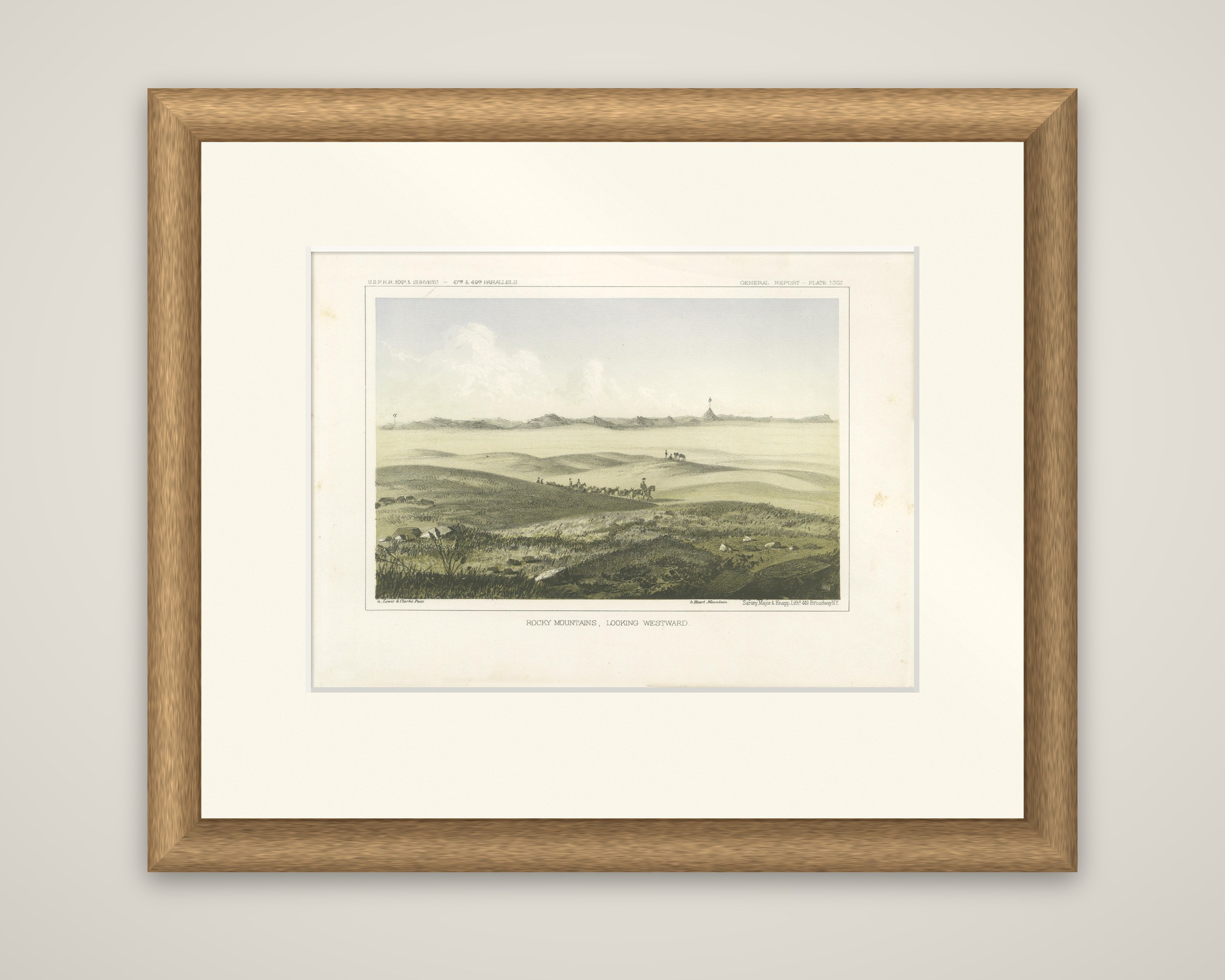
1856 Tinted Lithograph of the Expansive Rocky Mountain Plains: A View Westward
€ 220
Original antique · The actual sheet photographed · Certificate of authenticity on request · Sold unframed · Worldwide shipping from € 15 (rates)
Date
1856
Sheet size
20.7 × 28.3 cm (8.1 × 11.1 in)
Condition
Good
Reference
BG-14038-56
What the condition grades mean
Excellent
Bright and clean, with no faults worth mentioning.
Very good
Only light signs of age, such as faint toning.
Good
Normal signs of age for a sheet of this period: toning, some foxing, small marks or neat old repairs.
Fair
Clear faults such as staining, tears or repairs, priced to match.
Every fault we see is written in the condition note, and the whole sheet is shown uncropped in the photos.
Condition
This print is in very good condition, with minimal foxing and strong, vibrant colors. A clean margin enhances its framability and aesthetic appeal.
About this sheet
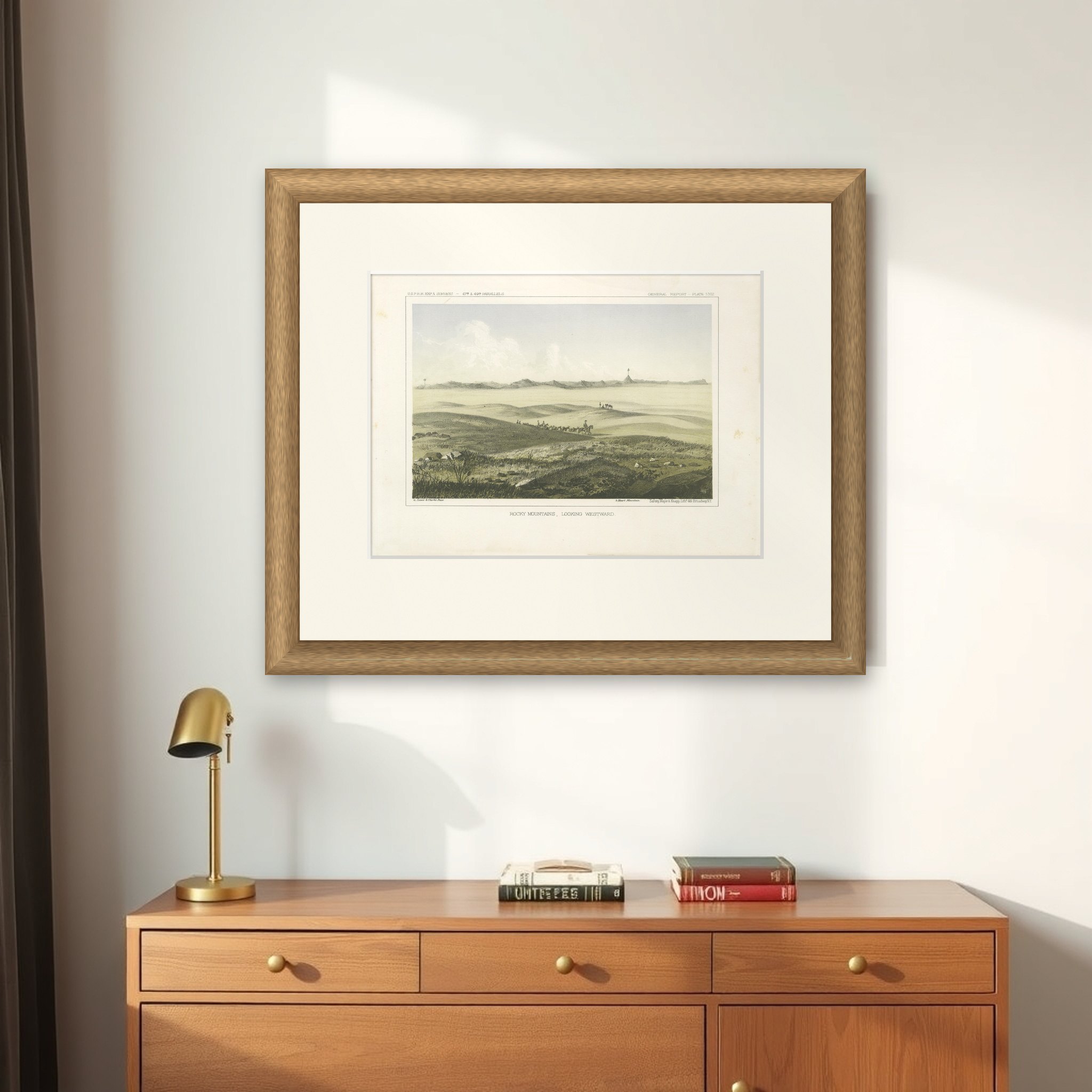
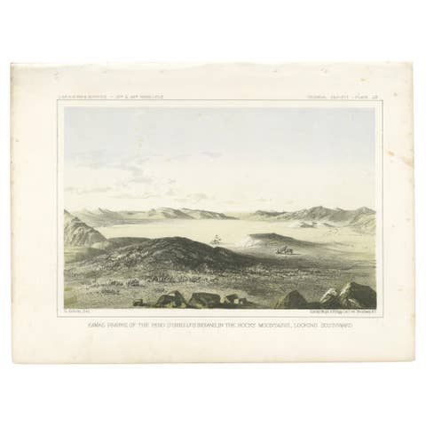
The Rocky Mountains seen from the plains, an original tinted lithograph issued in 1856. The caption reads "Rocky Mountains, Looking Westward", with a small credit line beneath the image and "Sarony, Major & Knapp Lithg., 449 Broadway N.Y." at lower right. The header reads "U.S.P.R.R. Exp. & Surveys, 47th & 49th Parallels" and the sheet is a numbered General Report plate.
Pale rolling grassland fills the sheet, with a pack train of riders and animals moving across a slope in the middle distance and a second small group farther off at the right. Beyond them a low, jagged line of mountains stretches across the horizon, with a conspicuous peak at the right. The foreground is a tangle of rocks, grass and thistles. Small captions beneath the image name features in the view, among them Lewis and Clarke Pass. The tints are soft gray, yellow and green.
The 47th and 49th parallels route was the northern survey led by Isaac Ingalls Stevens, governor of Washington Territory, and the plates after Stanley and Sohon record country that was then little known to the eastern public. The plate comes from Reports of Explorations and Surveys, to Ascertain the Most Practicable and Economical Route for a Railroad from the Mississippi River to the Pacific Ocean.