About this sheet
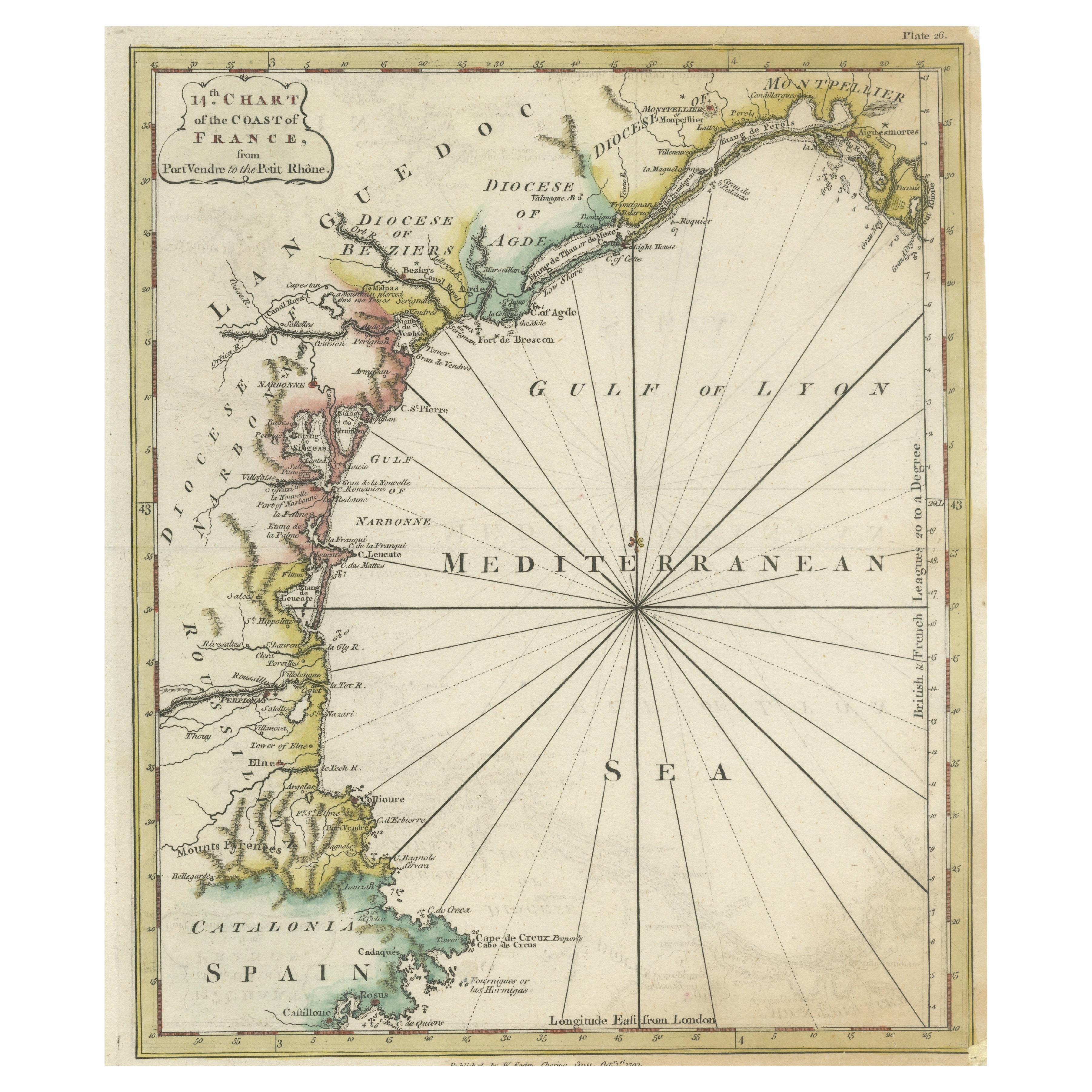
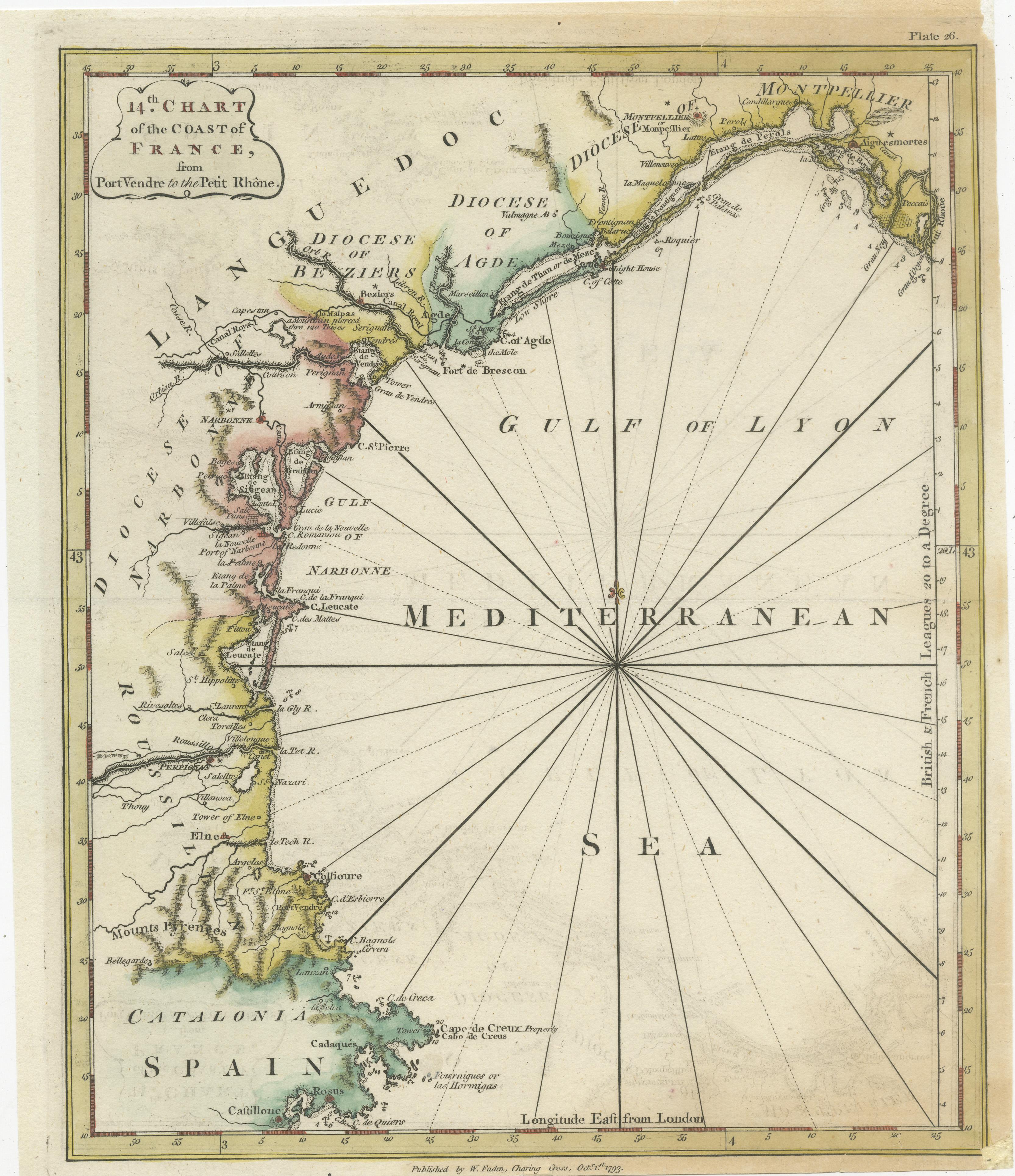
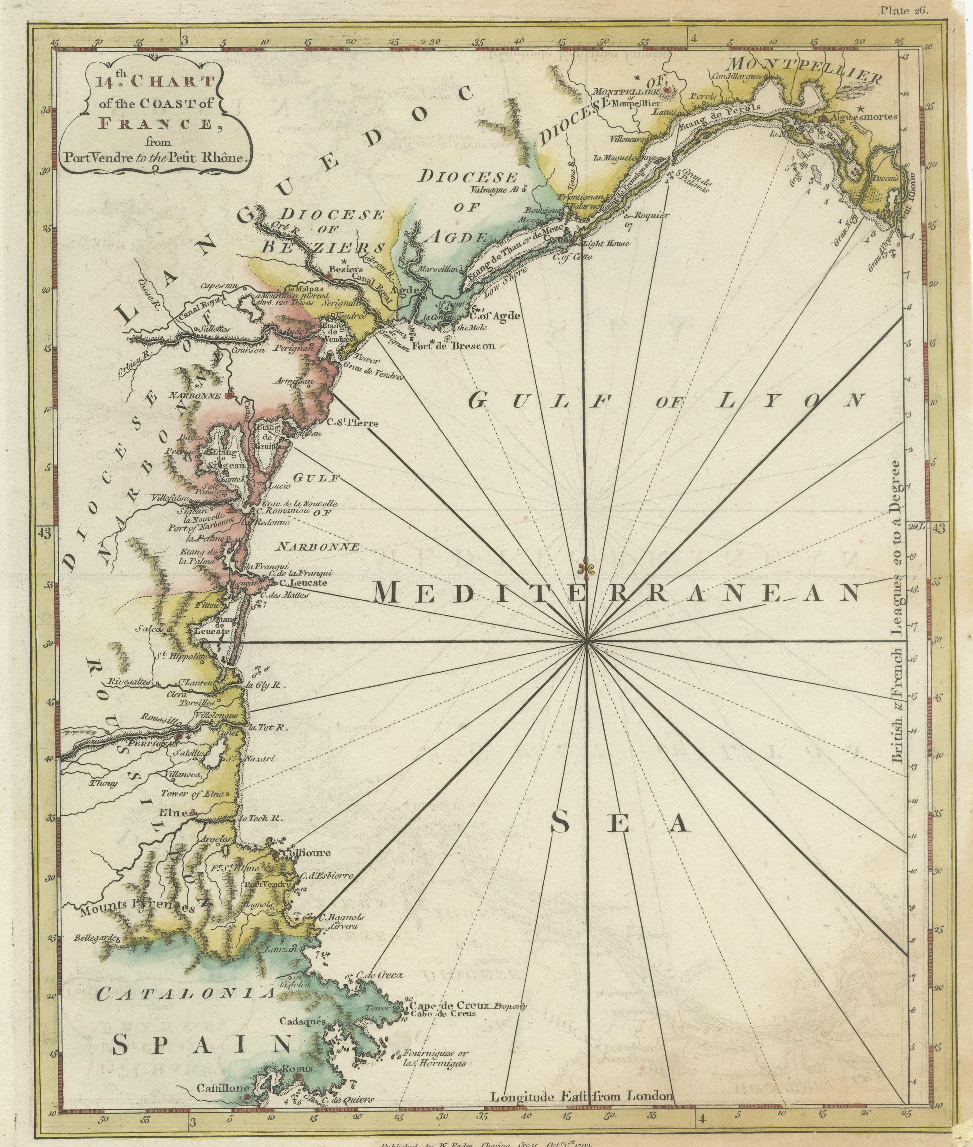
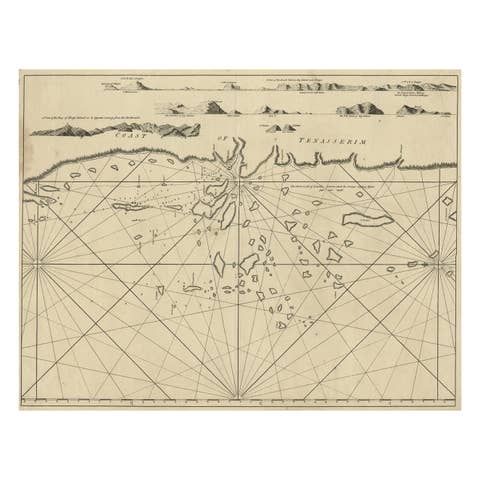
Antique map titled '14th Chart of the Coast of France, from Port Vendres to the Petit Rhône'. Original map with later hand coroling of the coast of Southern France.
The "14th Chart of the Coast of France, from Port Vendres to the Petit Rhône" is an antique map that offers a detailed depiction of the southern coast of France, specifically highlighting the Mediterranean coastline. This map, which dates back to 1793, was originally part of "Le Petit Neptune Français; Or, French Coasting Pilot," a publication designed for maritime navigation along the French coastlines.
Key Features of the Map:
1. **Geographic Coverage**:
- The map covers the southern French coastline from Port Vendres in the west to the Petit Rhône in the east.
- It includes notable regions such as Languedoc, the Gulf of Lyon, and parts of Catalonia (Spain).
2. **Notable Places**:
- **Montpellier**: A major city in the Diocese of Montpellier, an important cultural and economic center.
- **Narbonne**: Located in the Diocese of Narbonne, a historical city with Roman heritage.
- **Agde**: Situated in the Diocese of Agde, known for its ancient Greek colony origins.
- **Béziers**: Part of the Diocese of Béziers, another city with deep historical roots dating back to Roman times.
- **Port Vendres**: A critical port near the Spanish border.
- **Catalonia**: Including parts of northeastern Spain, emphasizing the coastal connection between France and Spain.
3. **Dioceses and Regions**:
- The map is marked with various dioceses such as Montpellier, Agde, Narbonne, and Béziers, indicating ecclesiastical boundaries.
- It highlights the broader region of Languedoc, a historical province known for its wine production and medieval history.
4. **Navigational Aids**:
- The map features a compass rose with radiating lines, a common navigational aid in maritime maps of the period.
- Coastal features such as capes, bays, and ports are meticulously detailed, providing essential information for sailors.
### Significance of the Map:
1. **Historical Context**:
- The map provides insights into the geopolitical and ecclesiastical boundaries of the late 18th century.
- It reflects the importance of maritime navigation during a period when sea travel and trade were crucial for economic and military purposes.
2. **Cartographic Detail**:
- The hand-coloring of the coast adds visual distinction and aids in identifying different regions and dioceses.
- The map's precision in depicting coastal features makes it an invaluable tool for historians and geographers studying historical navigation and coastal development.
3. **Cultural and Economic Importance**:
- The map underscores the significance of southern France's coast, highlighting key cities and ports that played vital roles in trade, culture, and politics.
- It also demonstrates the interconnectedness of France and Spain along the Mediterranean, emphasizing cross-border interactions.
### Conclusion:
This antique map is a fascinating historical artifact that offers a snapshot of the southern coast of France as it was understood in the late 18th century. Its detailed depiction of key places, navigational aids, and ecclesiastical boundaries provides rich insights into the geography, history, and culture of the region. Collectors, historians, and enthusiasts of maritime navigation would find this map particularly interesting for its combination of aesthetic appeal and historical significance.
This map originates from 'Le Petit Neptune Français; Or, French Coasting Pilot, for the Coast of Flanders, Channel, Bay of Biscay and Mediterranean (..)' printed for W. Faden, 1793.