maps-prints.com
✦
Black Friday Sale now on
Up to 30% off original antique maps and prints, until Monday 30 November
The terms
- Up to 30% off selected original antique maps and prints. Every piece is an original, printed in its own time; none is a reproduction.
- The sale runs until Monday 30 November. Prices revert on Tuesday 1 December.
- Free FedEx shipping on qualifying orders placed on our own websites: USA, Canada, UK and Europe over $500 / €450; rest of the world over $750 / €675. Smaller orders pay our normal shipping rate.
- Orders placed from 15 to 30 November ship from 1 December, in time for Christmas. Our shipping partner is InXpress.
- Each piece is unique, so the sale is while stock lasts.
Collection:AllAmericanSea chartsMilitaryNatural historyFashionArchitectureBotanicalSacredEast Indies
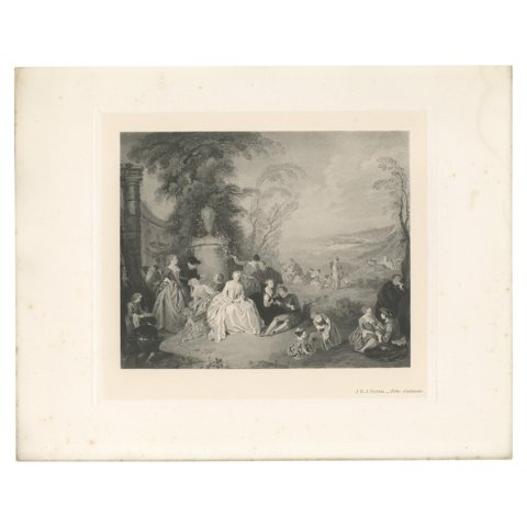 Antique Print of 'Fête Galante' made after J.B.J. Pater (1902)
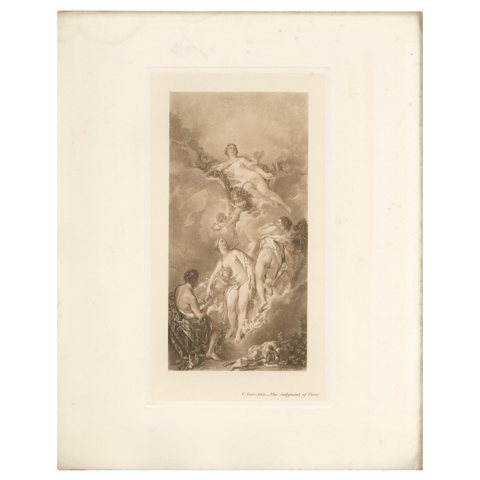 Antique Print of 'The Judgment of Paris' Made After F. Boucher '1902'
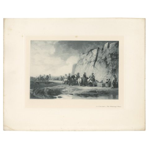 Antique Print of 'The Watering Place' made after A.G. Decamps (1902)
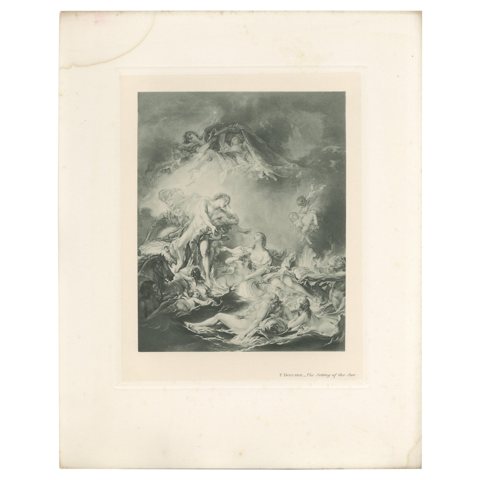 Antique Print of 'The Setting of the Sun' Made after F. Boucher '1902'
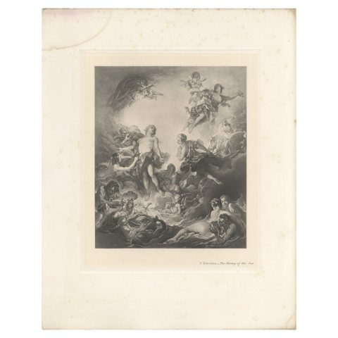 Antique Print of 'The Rising of the Sun' Made after F. Boucher '1902'
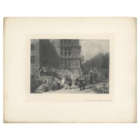 Antique Print of 'Court Reception at a Château' Made After A.G. Decamps '1902'
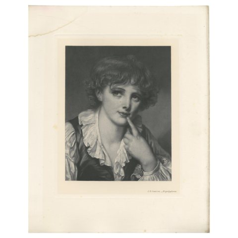 Antique Print of 'Espièglerie' Made After J.B. Greuze (1902)
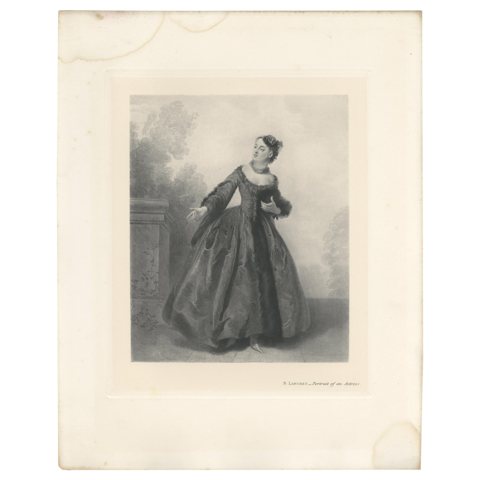 Antique Print of 'Portrait of an Actress' Made after N. Lancret '1902'
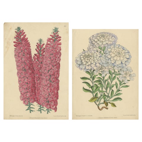 Set of 2 Antique Botany Prints by Reeve 'c.1870'
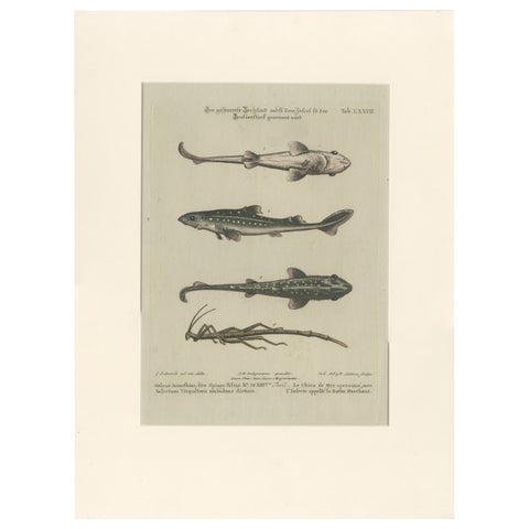 Antique Print of Various Fishes and an Insect by Seligmann 'c.1768'
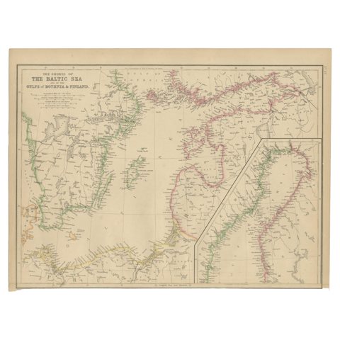 Antique Map of the Shores of The Baltic Sea by W. G. Blackie, 1859
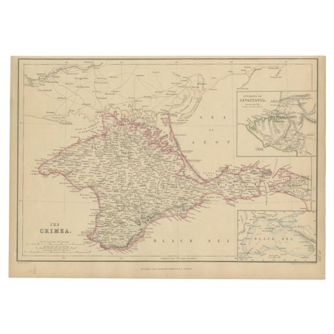 Antique Map of the Crimean Peninsula and Sevastopol by W. G. Blackie, 1859
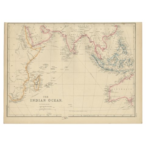 Antique Map of the Indian Ocean by W. G. Blackie, 1859
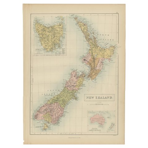 Antique Map of New Zealand by A & C. Black, 1870
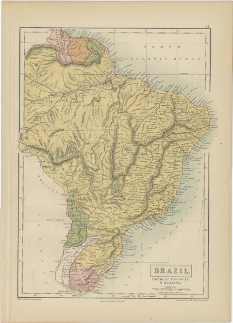 Antique Map of Brazil, Uruguay, Paraguay and Guyana by A & C. Black, 1870
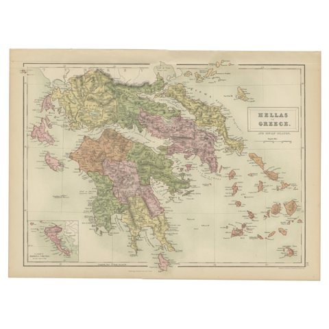 Antique Map of Greece and Ionian Islands by A & C. Black, 1870
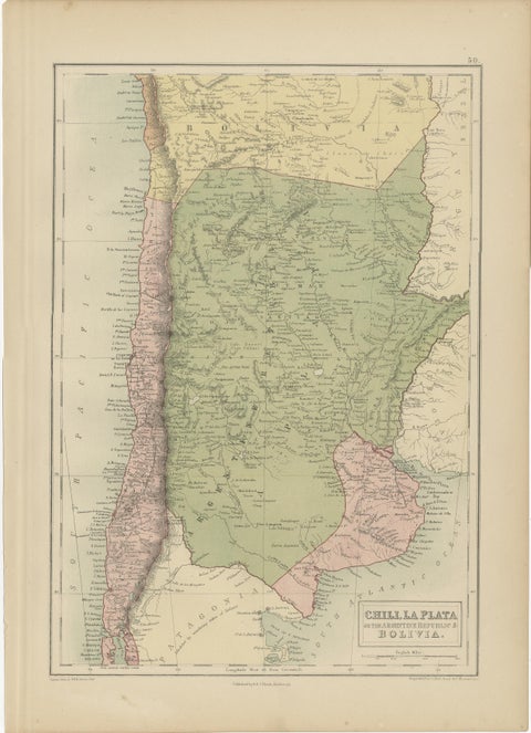 Antique Map of Chile, La Plata and Part of Bolivia by A & C. Black, 1870
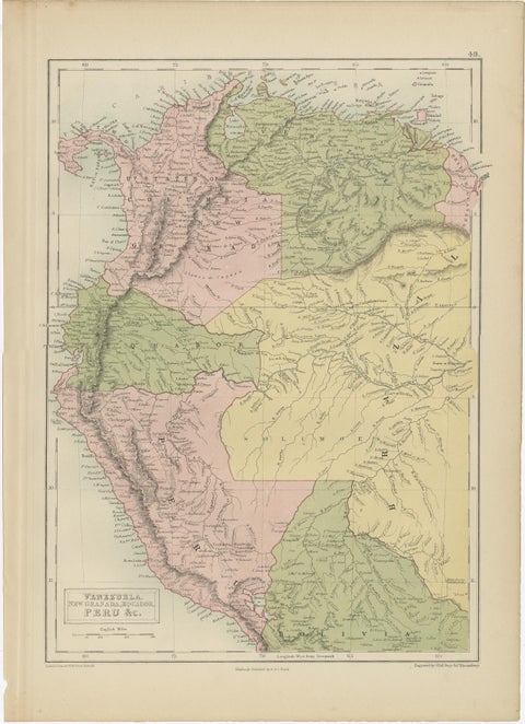 Antique Map of Venezuela, New Granada, Ecuador and Peru by a & C. Black, 1870
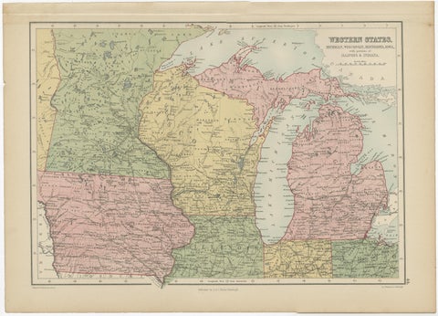 Antique Map of Western States, Michigan, Wisconsin, Iowa by A & C. Black, 1870
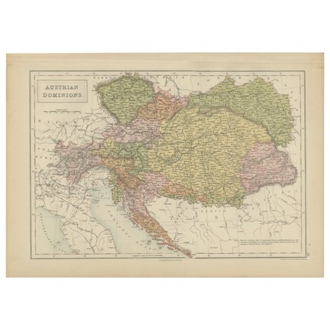 Antique Map of Austrian Dominions by A & C. Black, 1870
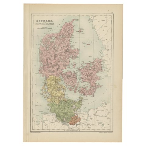 Antique Map of Denmark with Schleswig & Holstein by A & C. Black, 1870
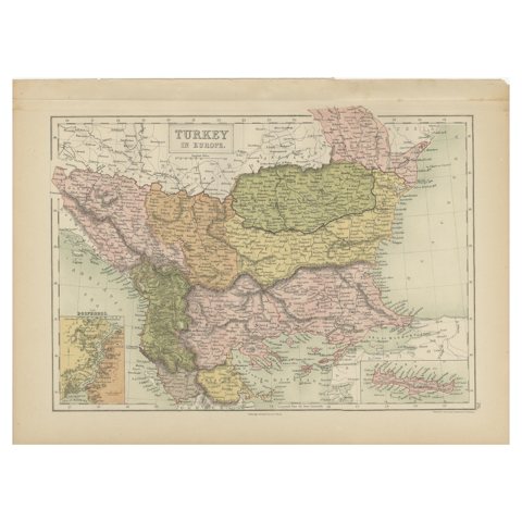 Antique Map of Turkey in Europe by A & C. Black, 1870
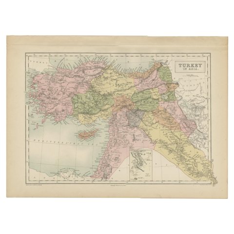 Antique Map of Turkey in Asia by A & C. Black, 1870
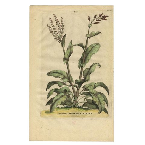 Acetosa Hispanica Maxima, Munting, 1696
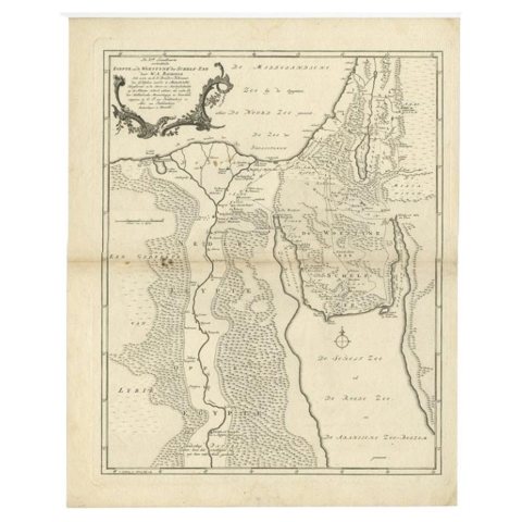 Antique Map of The Nile, Egypt and the Red Sea by Bachiene, 1765
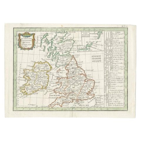 Antique Map of England and Ireland by Lattre, 1789
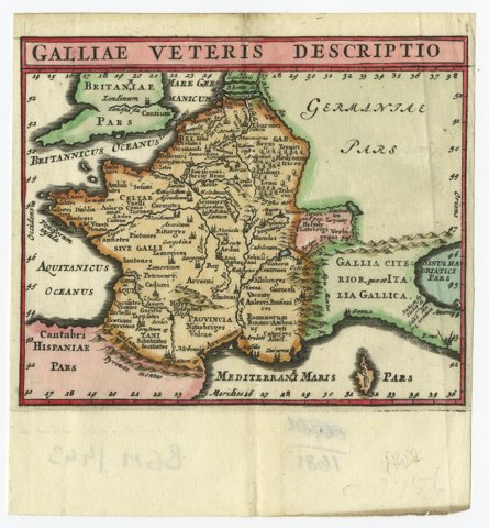 Antique Map of France by Cluver, 1685
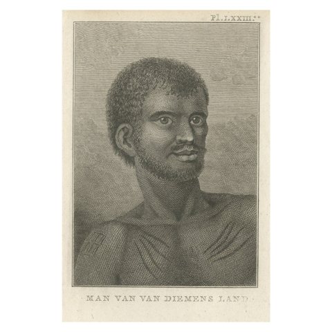 Antique Print of a Native Aboriginal of Van Dieman's Land, Australia, 1803
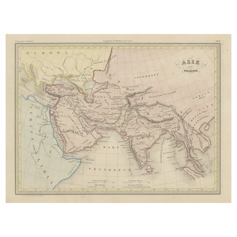 Original Antique Map of Ancient Asia, 1847
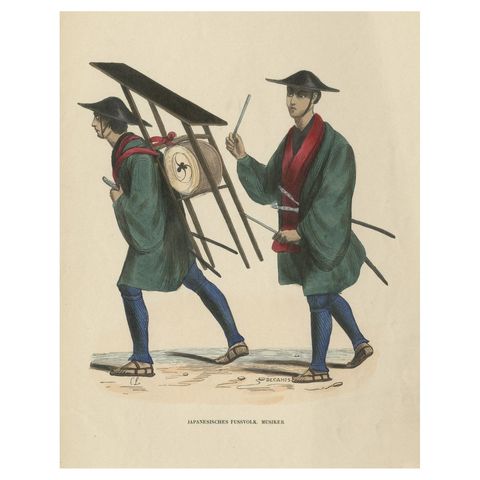 Original Antique Print of Japanese Infantry Musicians, ca.1845
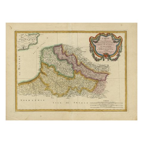 Antique Map of Picardy, Aroits and French Flanders by Bonne, c.1780
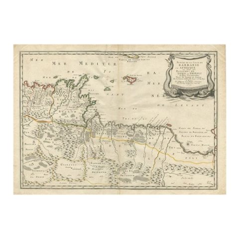 Rare Antique Map of 'Barbarie' or Northern Africa, 1655
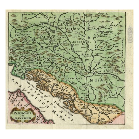 Antique Map of Pannonia and Illyria by Cluver, 1685
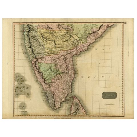 Antique Map of Southern India and Ceylon by Thomson, 1816
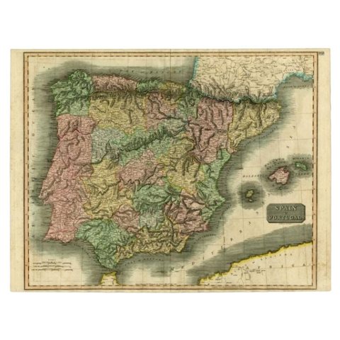 Antique Map of Spain and Portugal by Thomson, 1815
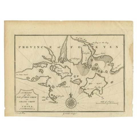 Antique Map of the Bay of Chin Chew by Child, 1747
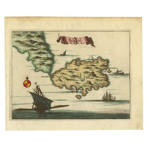 Antique Map of the Island of Tinos by Dapper, 1687
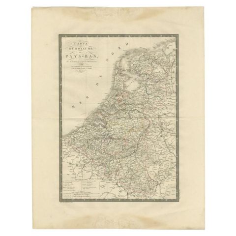 Antique Map of the Low Countries by Brué, 1822
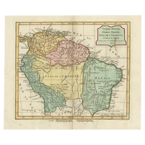 Antique Map of the Northern Part of South America by Delamarche, 1806
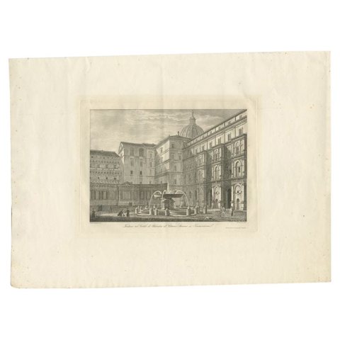 Antique Print of the Belvedere Courtyard, 1859
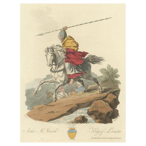 Original Handcolored Antique Print of Arthur Mc Murroch, 1811
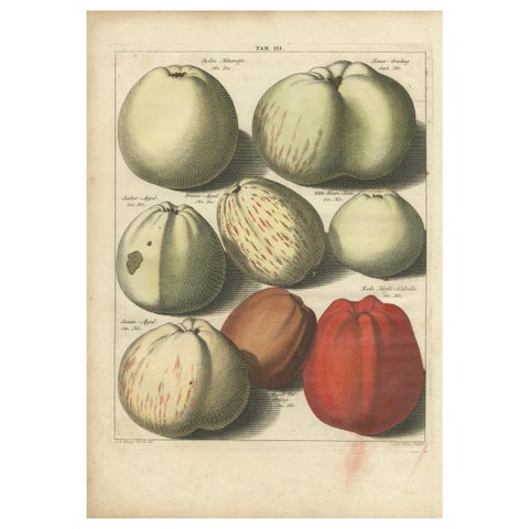 Original Hand-Colored Antique Print of Various Apples, 1758
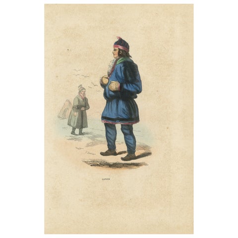 Laplander in Traditional Dress, Hand-Coloured Lithograph, c.1845
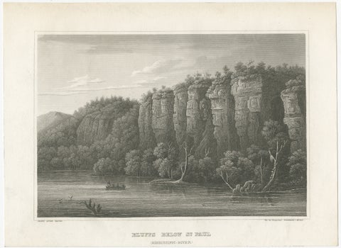 Mississippi River Bluffs St. Paul, Antique Steel Engraving c.1850
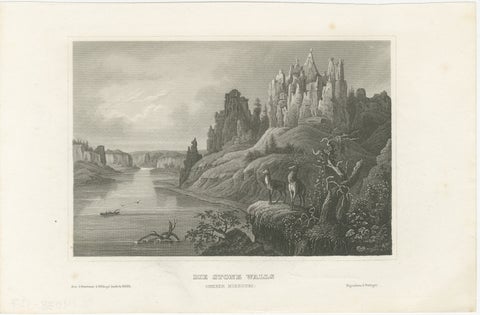 Missouri River Stone Walls, Antique Steel Engraving c.1850
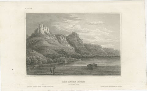 Eagle Rocks Mississippi River, Antique Steel Engraving c.1850
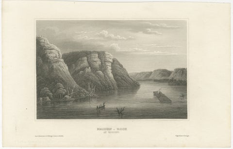 Maiden Rock Mississippi River, Antique Steel Engraving c.1850
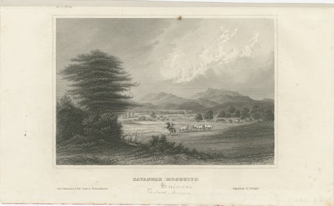 Savannah (Mosquito), Honduras – Antique Engraving, Central America, c.1850
Sharing the sale? Download the Black Friday banners.