About this sheet
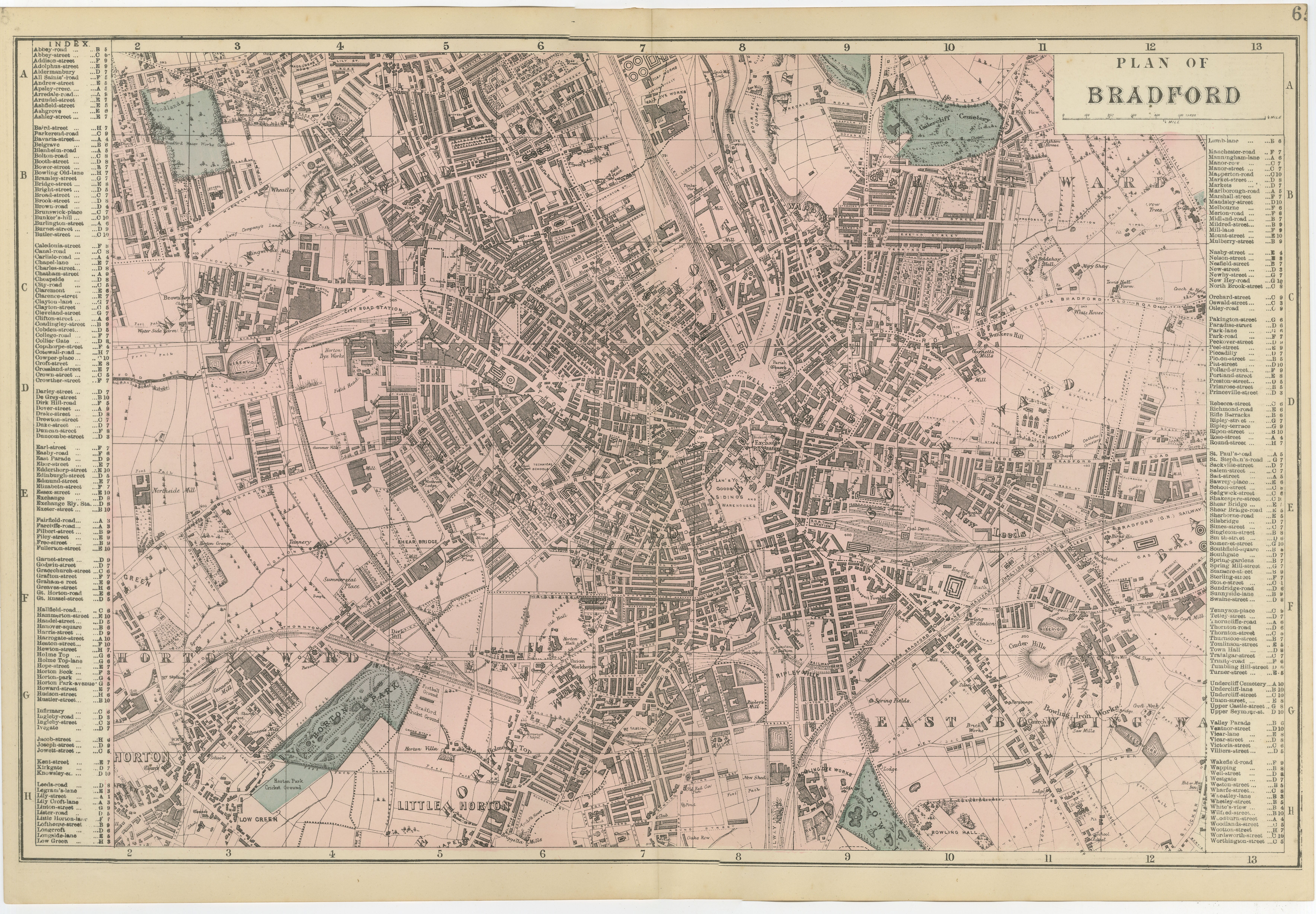
Victorian Bradford Street Plan Map – Edward Weller 1885, Wool Capital
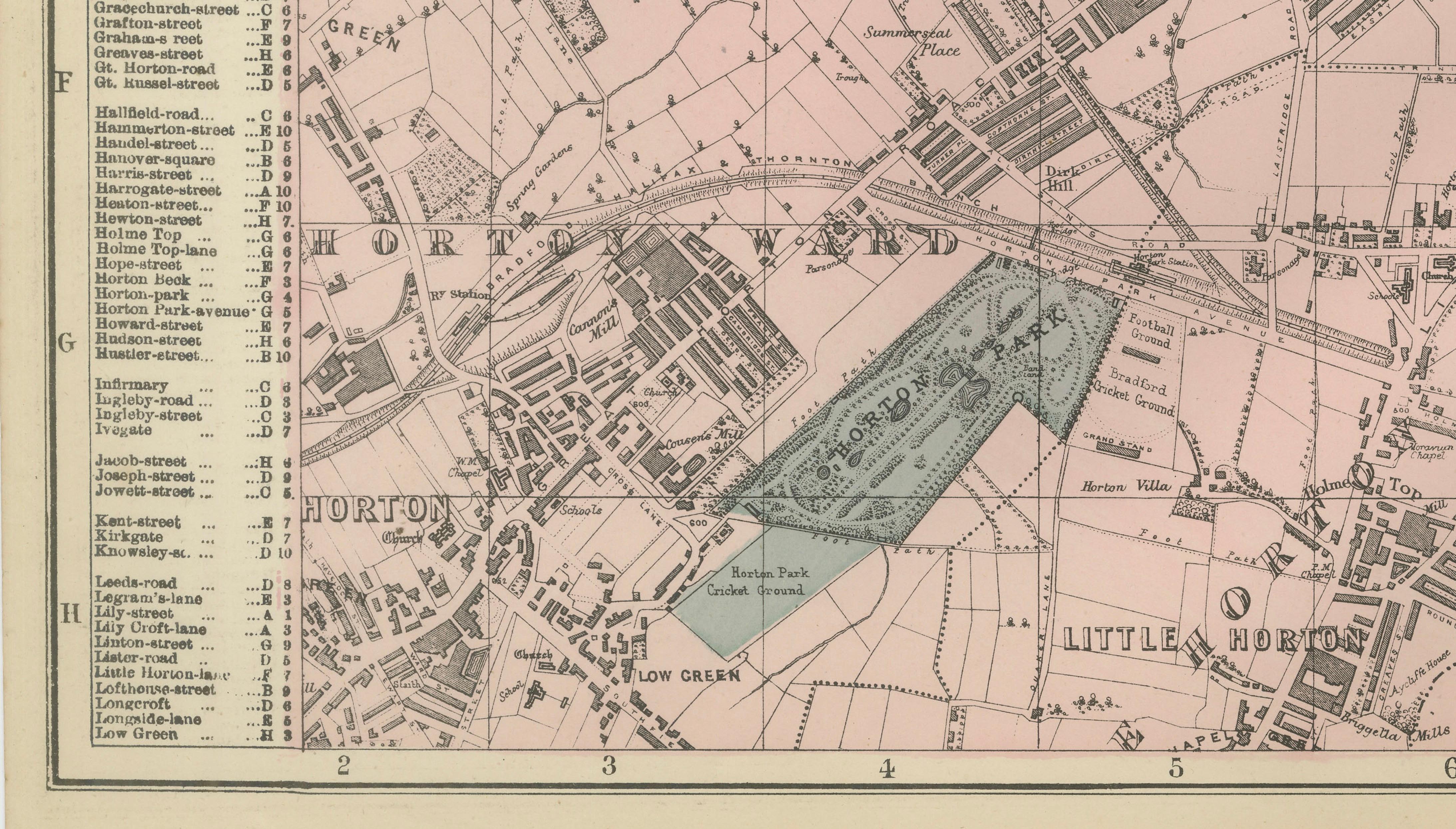
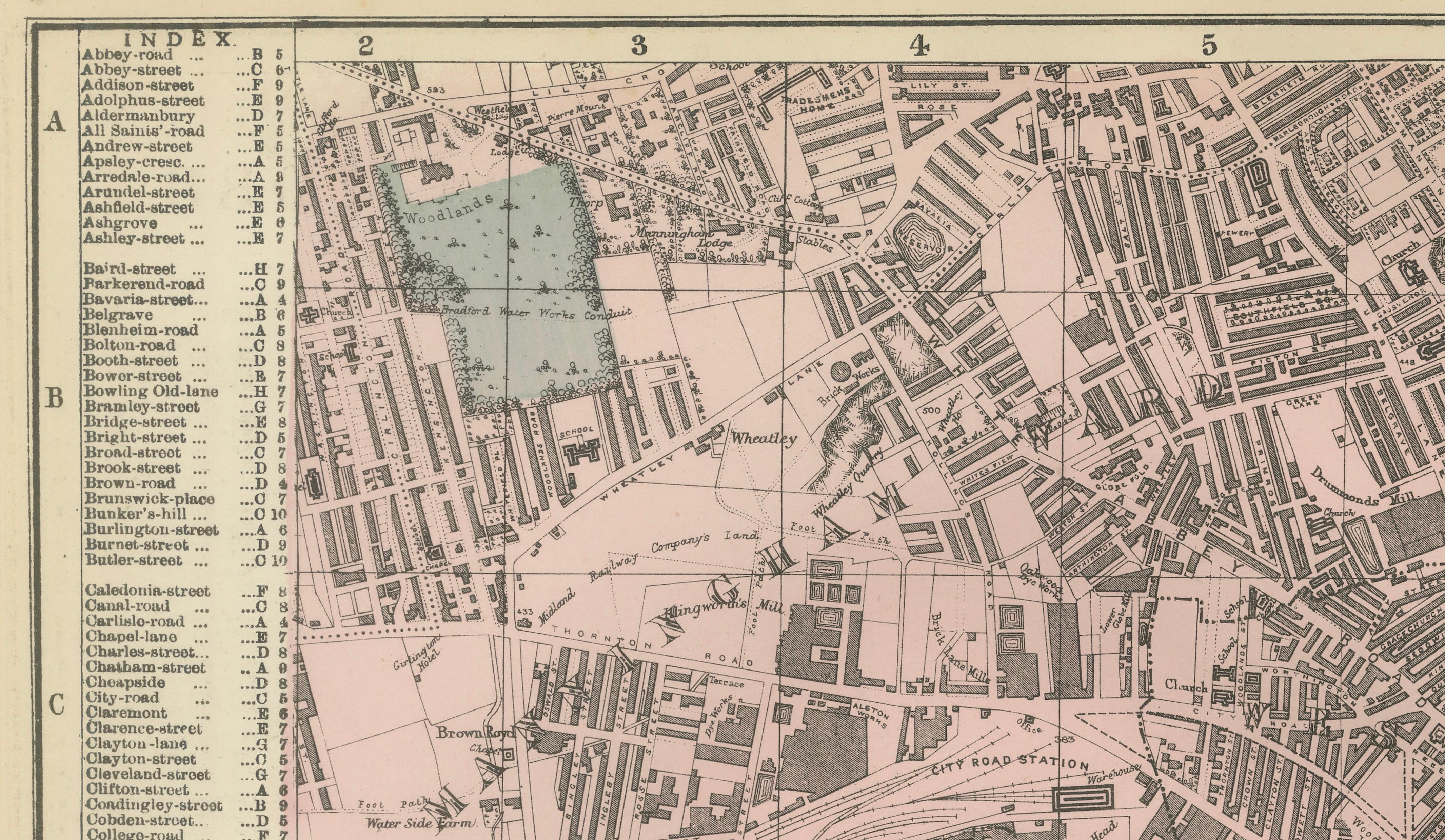
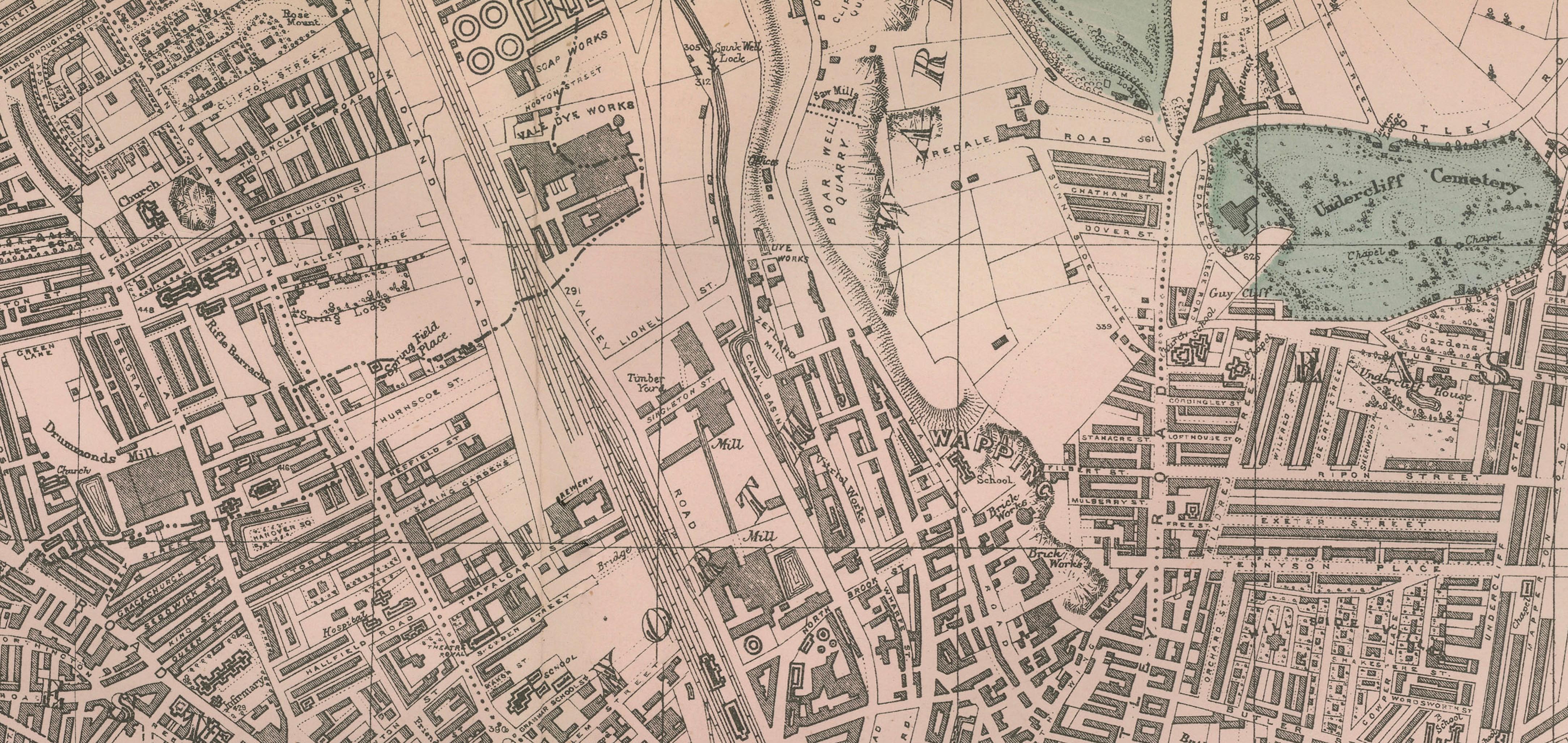
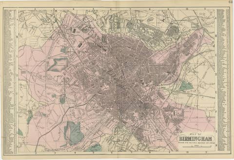
This highly detailed original lithographic city plan of Bradford was engraved and published by Edward Weller in London in 1885. The map captures Bradford at the height of its industrial prosperity, when the city was internationally known as the "Wool Capital of the World" and one of the most important textile manufacturing centers of the Victorian era.
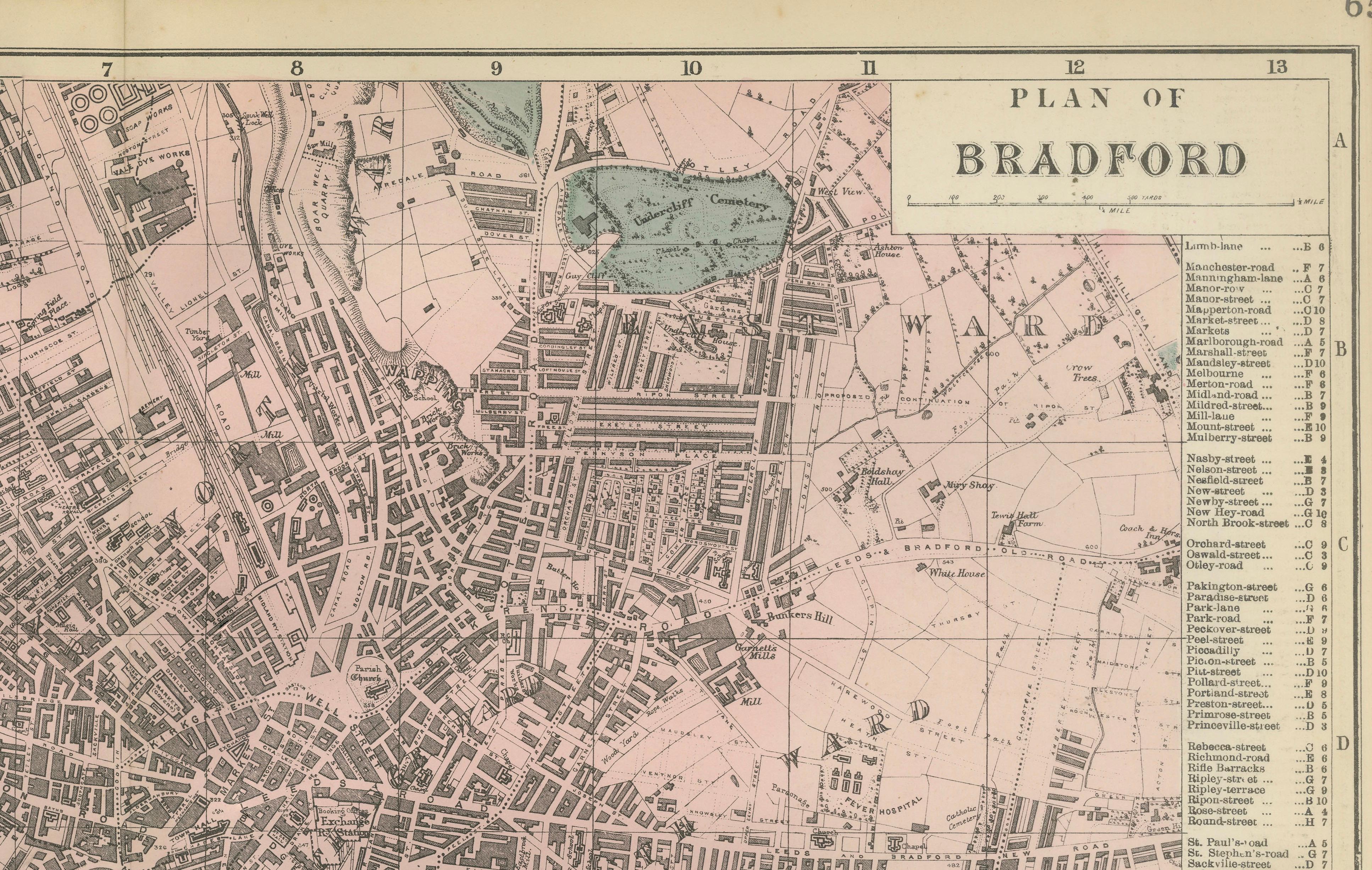
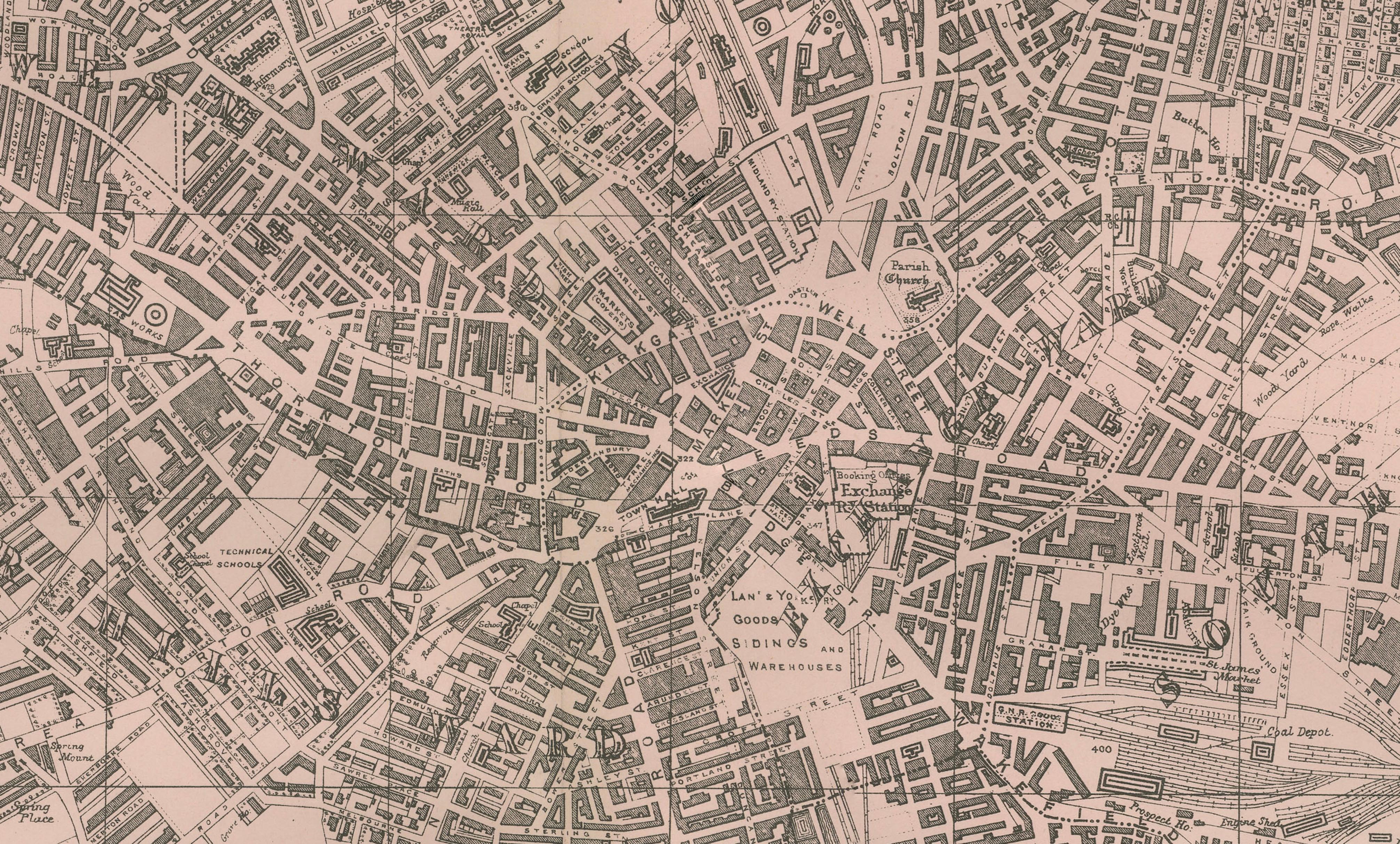
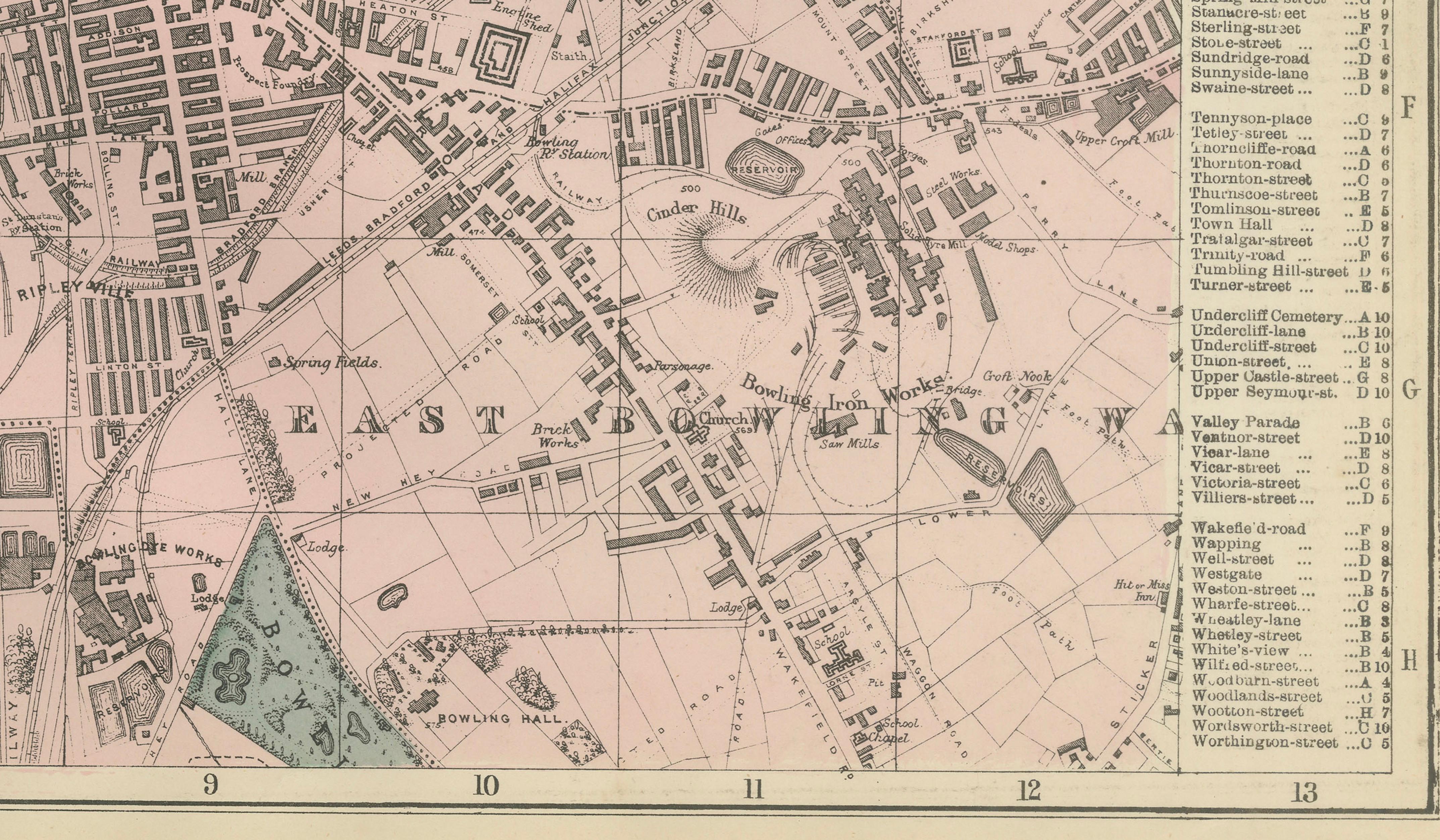
Weller's plan presents an exceptionally fine overview of Bradford's expanding urban landscape, illustrating the dense network of streets, railway lines, mills, public buildings, parks, and surrounding districts that supported the city's booming wool and worsted industries. The map is enhanced with original hand color highlighting major parks and green spaces, providing both decorative appeal and practical geographic reference.
At the center lies the historic commercial core of Bradford, surrounded by rapidly developing industrial and residential neighborhoods. The map records many of the city's most important Victorian districts, including Manningham, Little Horton, Great Horton, Bowling, East Bowling, West Bowling, Heaton, Girlington, Thornbury, Undercliffe, and Listerhills. The growing suburban developments around Manningham and Undercliffe reflect Bradford's transformation into a prosperous industrial metropolis.
Notable landmarks shown include Bradford Exchange, Bradford Forster Square Station, Bradford Market, Bradford Infirmary, St. George's Hall, Lister Park, Horton Park, Bowling Park, Peel Park, Undercliffe Cemetery, and numerous textile mills that formed the backbone of the city's economy. The railway infrastructure connecting Bradford to Leeds, Halifax, Manchester, and the wider industrial north is clearly depicted, illustrating the city's strategic importance within Victorian Britain.
Today Bradford remains one of Yorkshire's major cities and is often referred to as the "Wool Capital of the World" due to its historic role in the textile trade. The map provides a fascinating snapshot of the city during its greatest period of industrial influence and serves as an important document of urban development in northern England.
This original antique map appeals to collectors of Yorkshire history, industrial heritage, railway history, urban cartography, and Victorian city plans. Its combination of historical significance, decorative quality, and detailed topographical information makes it an excellent display piece for both private and institutional collections.
Condition: Good condition for a map of this age. Light age toning and minor handling wear. Original center fold as issued. Please study the photographs carefully for full condition details.
Framing Tips: This map displays beautifully in a dark walnut, black, or ebonized frame with an ivory museum mat. A wide mat border helps emphasize the intricate Victorian detail and creates an elegant presentation suitable for a study, office, library, or modern interior.
Technique: Lithograph with original hand color
Maker: Edward Weller, London, 1885
Keywords: Bradford, Bradford Yorkshire, Wool Capital of the World, West Yorkshire, Manningham, Little Horton, Great Horton, Horton, East Bowling, West Bowling, Bowling, Heaton, Undercliffe, Thornbury, Girlington, Listerhills, Manningham Lane, Bradford Exchange, Forster Square Station, Bradford Market, St George's Hall, Lister Park, Horton Park, Bowling Park, Peel Park, Undercliffe Cemetery, Victorian Bradford, Industrial Revolution, Textile Industry, Wool Trade, Worsted Industry, Yorkshire City Plan, Victorian Town Plan, Urban Cartography, Railway Map, England Map, British Industrial Heritage, Historic Bradford, Edward Weller Map, Antique City Map, 19th Century Bradford, Victorian England, Yorkshire History.