About this sheet
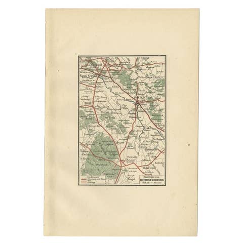
Decorative Map of Liverpool and Environs, Victorian Mersey Atlas Map, 1885
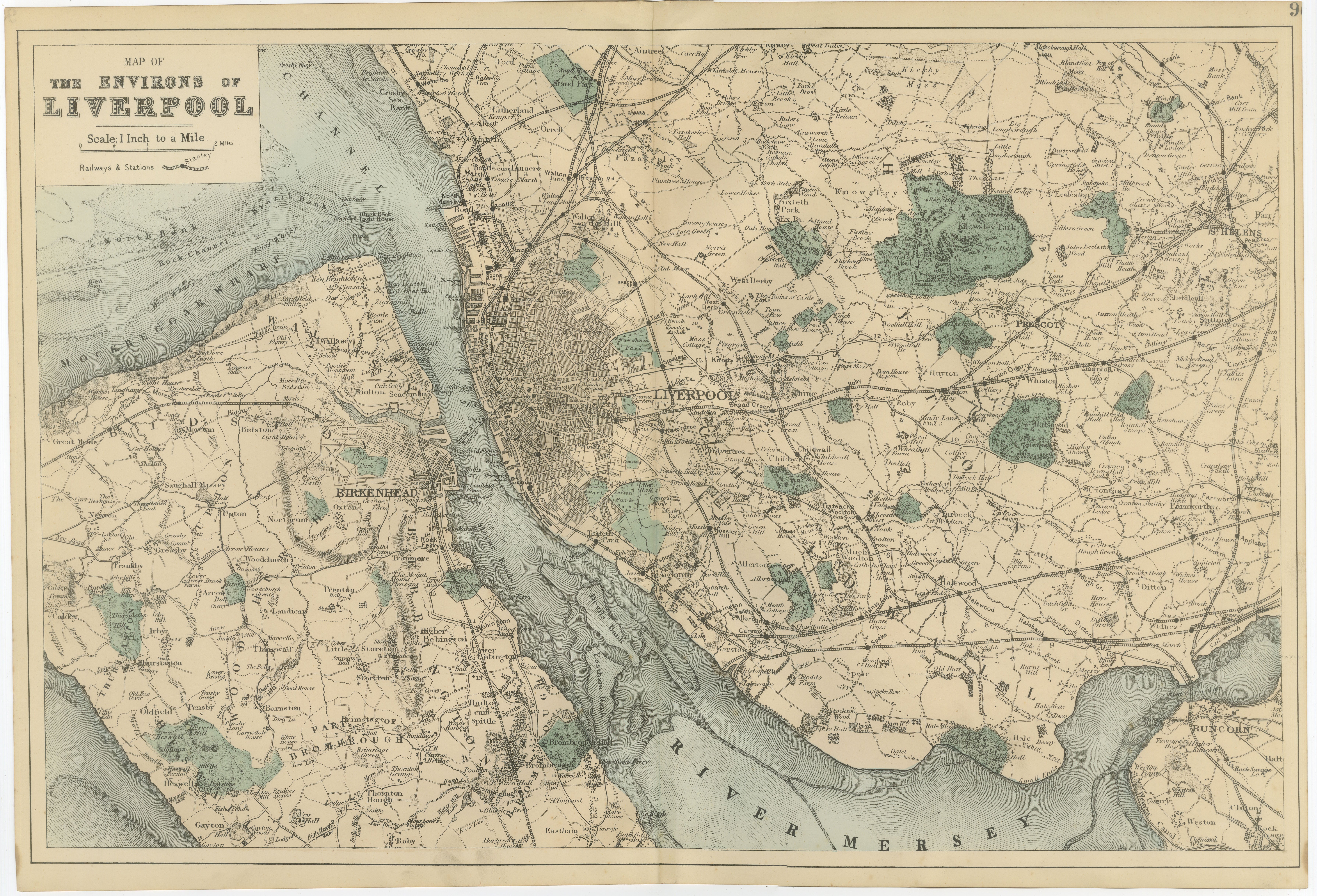
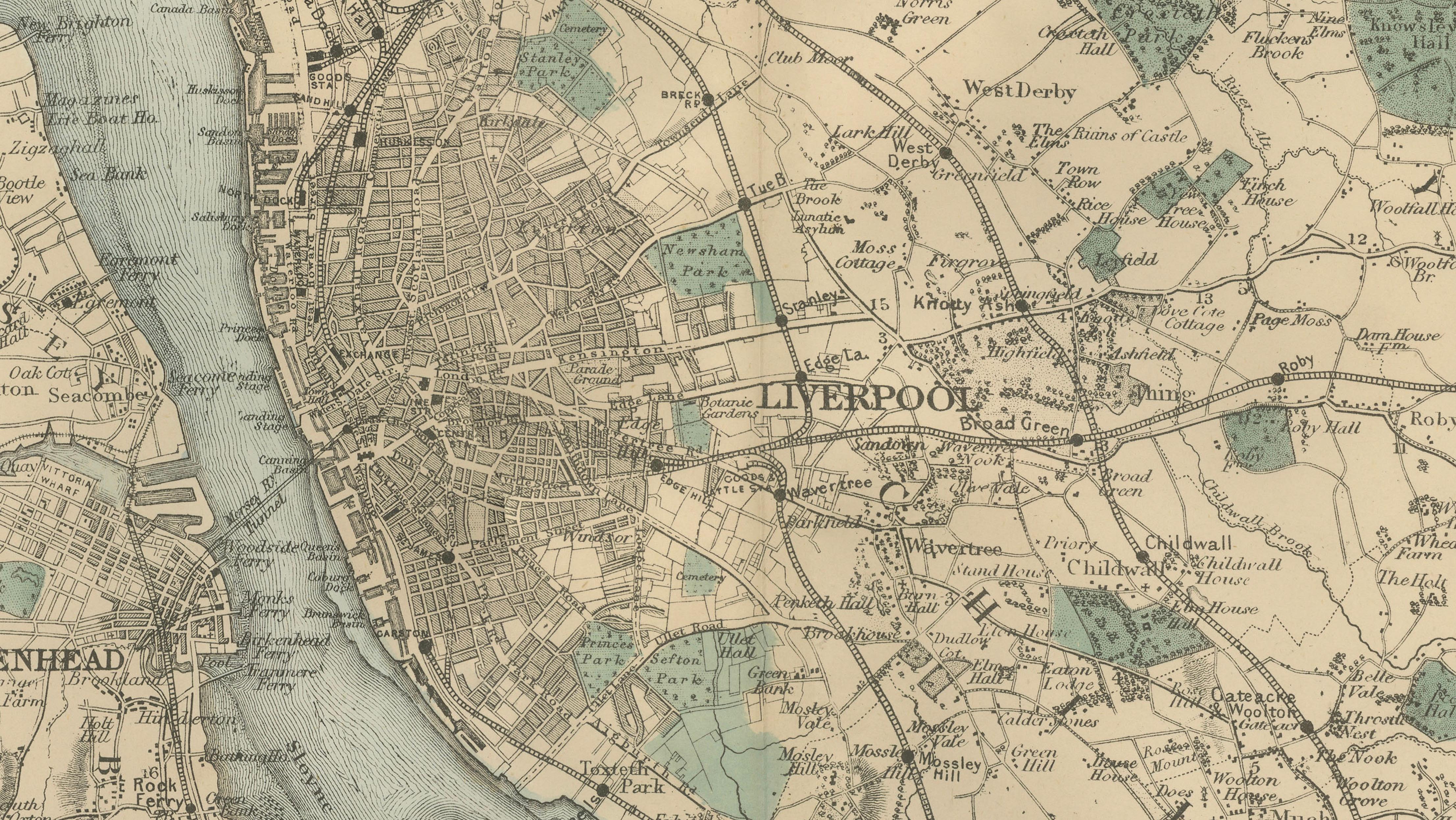
This finely engraved Victorian map titled “Map of the Environs of Liverpool” presents the great maritime city of Liverpool and its surrounding districts during the late nineteenth century. Published in 1885 as part of a British atlas series, the map captures the port city at a moment when Liverpool was one of the most important commercial and shipping centers in the world.
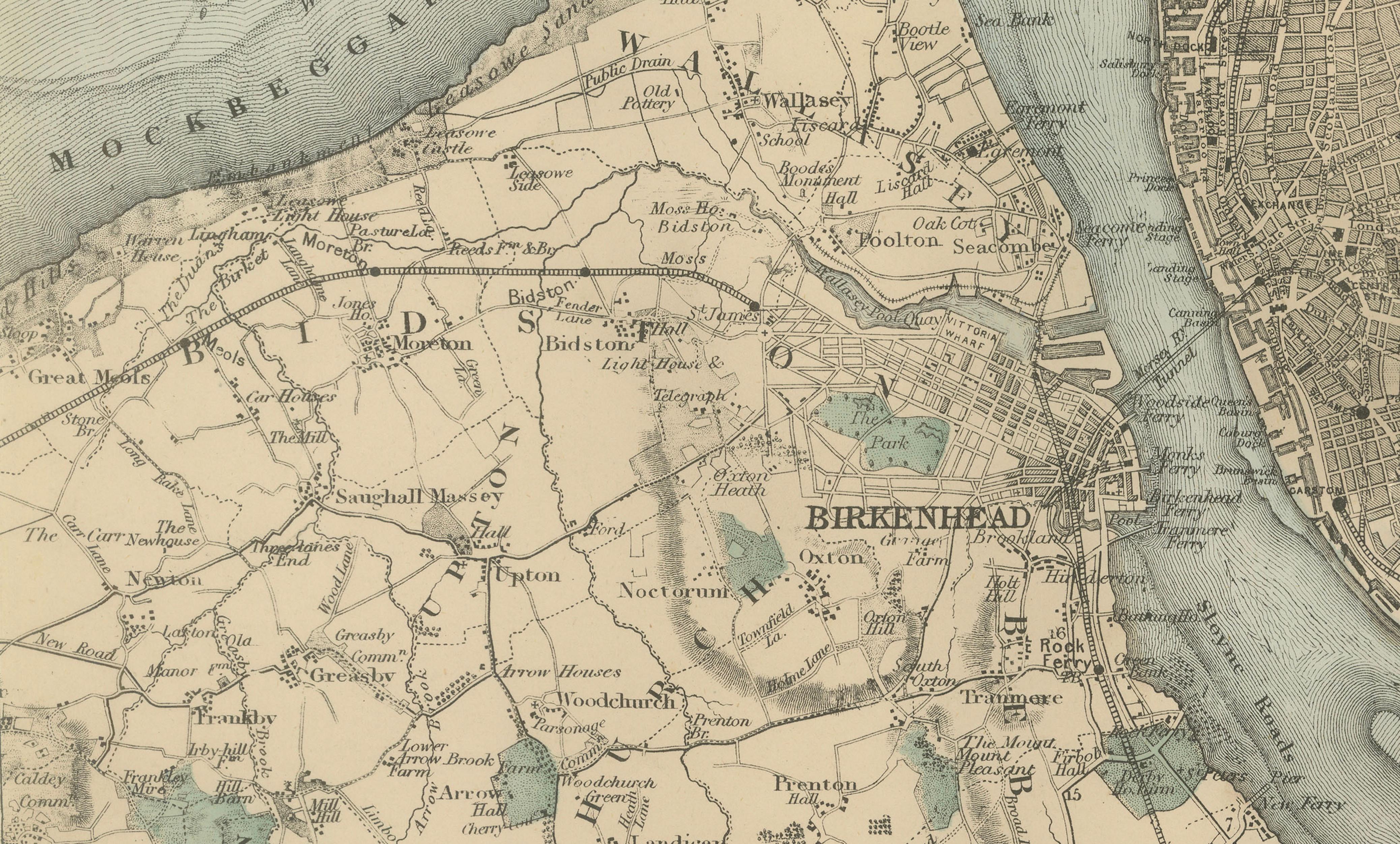
The map centers on Liverpool itself, shown as a dense urban fabric along the eastern bank of the River Mersey. The docks and waterfront infrastructure that made Liverpool a global trading port appear clearly along the river, where ships connected Britain with the Americas, Africa, and the wider British Empire. Across the Mersey lies Birkenhead on the Wirral Peninsula, which by the late nineteenth century had grown rapidly as a port town and shipbuilding center supporting Liverpool’s maritime economy.
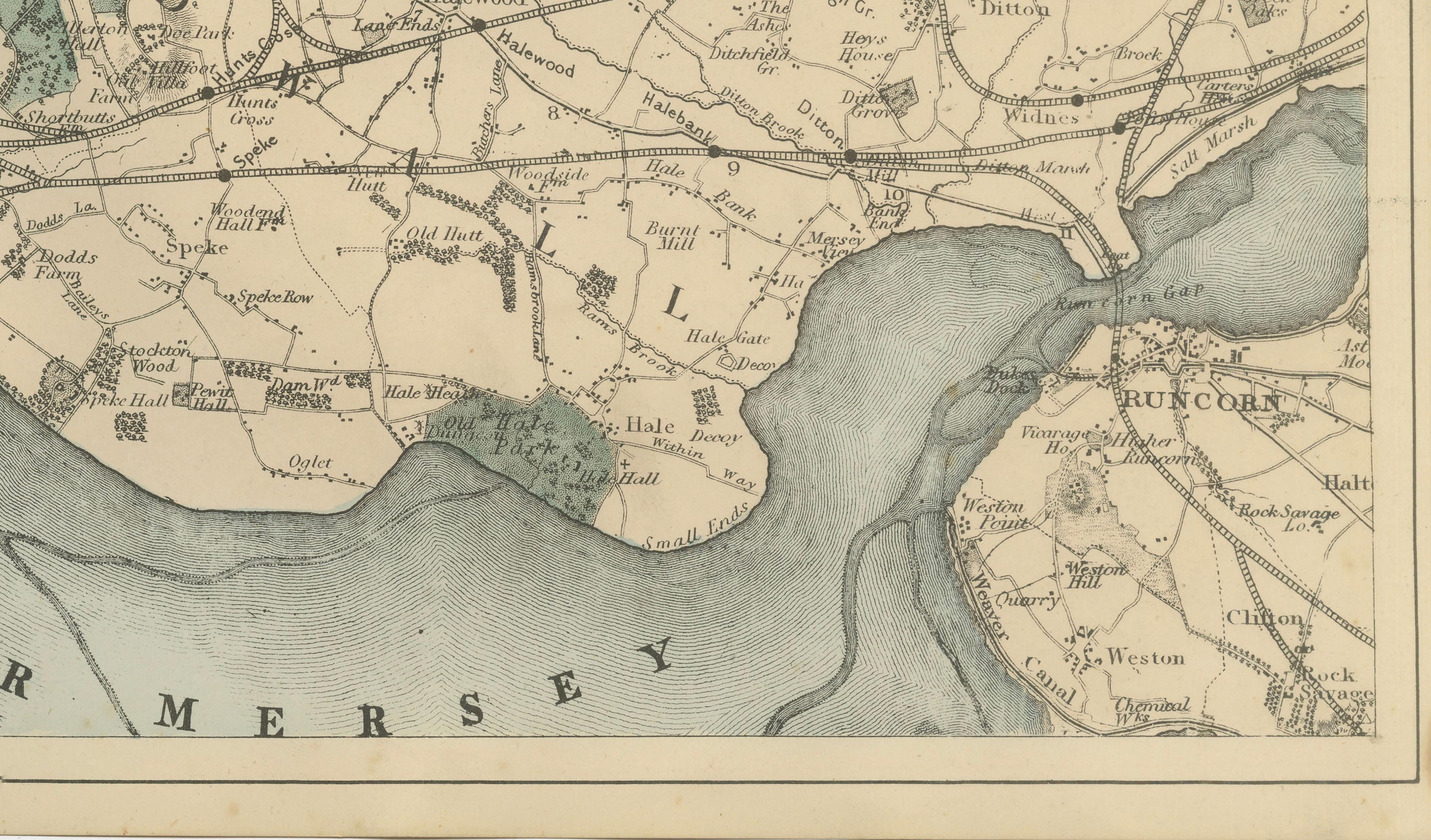
The River Mersey dominates the composition, flowing broadly through the center of the map and emphasizing the geographical importance of the estuary. Downstream, the river bends toward Runcorn and the upper reaches of the Mersey estuary, an important industrial corridor where shipping, chemical works, and manufacturing developed alongside the river.
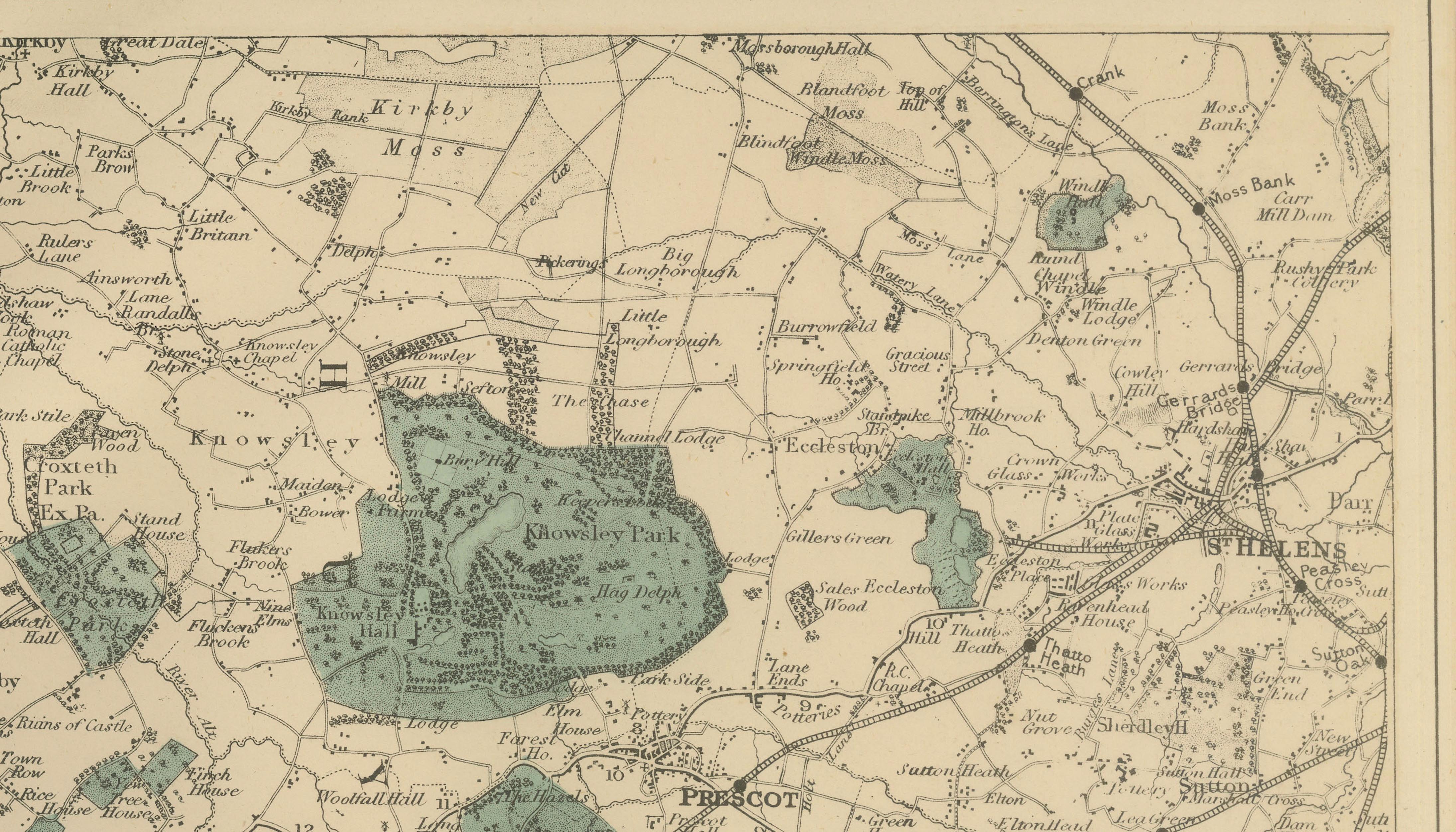
Radiating outward from Liverpool are the surrounding towns, villages, and rural estates that formed the broader Merseyside region. To the northeast appear Prescot, Huyton, and Whiston, towns that were historically connected to mining, watchmaking, and manufacturing. To the east and southeast lie areas such as Halewood and Widnes, which later developed into significant industrial centers. The map also shows the historic estates and parklands of the region, with green-tinted areas indicating parks, woodland, and landscaped grounds that punctuate the otherwise agricultural countryside.
Across the river on the Wirral Peninsula the map includes Birkenhead, Tranmere, Bebington, Bromborough, and the surrounding rural settlements such as Oxton, Claughton, and Prenton. These communities formed the residential and industrial hinterland of the port, connected to Liverpool by ferry routes across the Mersey long before the construction of the Mersey tunnels in the twentieth century.
Numerous towns, villages, and landmarks appear clearly labeled across the map, including Liverpool, Birkenhead, Bootle, Walton, Everton, Toxteth Park, Wavertree, West Derby, Knotty Ash, Huyton, Prescot, Whiston, Rainhill, Widnes, Halewood, Speke, Garston, Bebington, Bromborough, Tranmere, Oxton, Prenton, Claughton, Wallasey, New Brighton, Kirkby, and Runcorn.
The map provides an exceptional overview of the Liverpool region at the height of Britain’s maritime and industrial power. For collectors, it offers both historical insight and strong decorative appeal, with delicate linework, subtle color accents, and a broad panoramic composition that makes it ideal for display.
Condition:
Very good antique condition. Light age toning and occasional minor spotting consistent with nineteenth-century atlas maps. Original center fold as issued. Margins remain complete and well preserved.
Framing tips:
This map frames beautifully in a wide horizontal format. An ivory or off-white mat paired with a dark walnut, black, or antique gilt frame complements the Victorian engraving style and enhances the contrast between the urban street patterns and the pale tones of the Mersey estuary. It pairs particularly well with companion maps of Manchester, Glasgow, or London for a decorative gallery wall of historic British cities.
Technique: Lithograph
Maker: Edward Weller, London, 1885