About this sheet
Victorian Birmingham City Plan Map – Edward Weller 1885, Workshop of the World
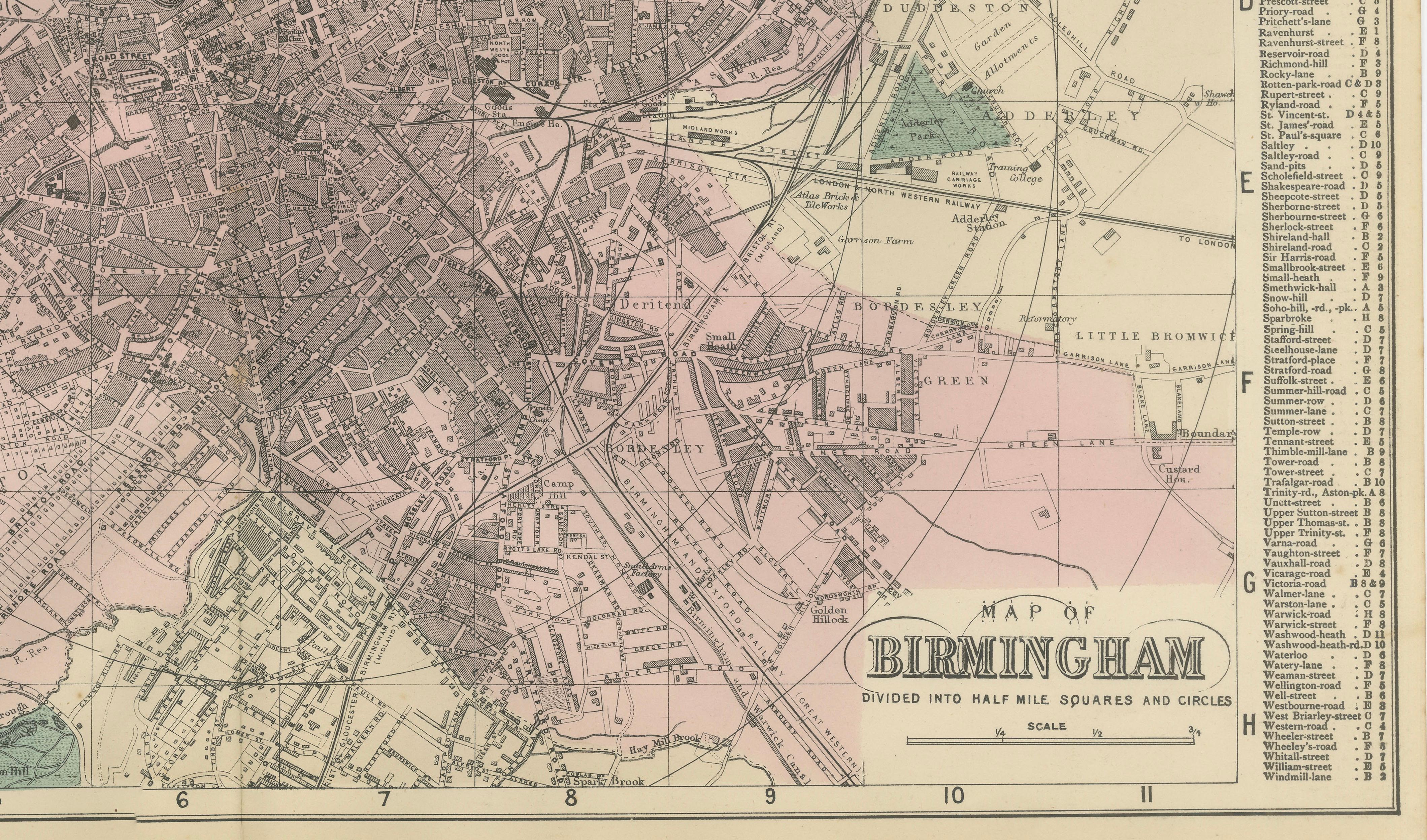
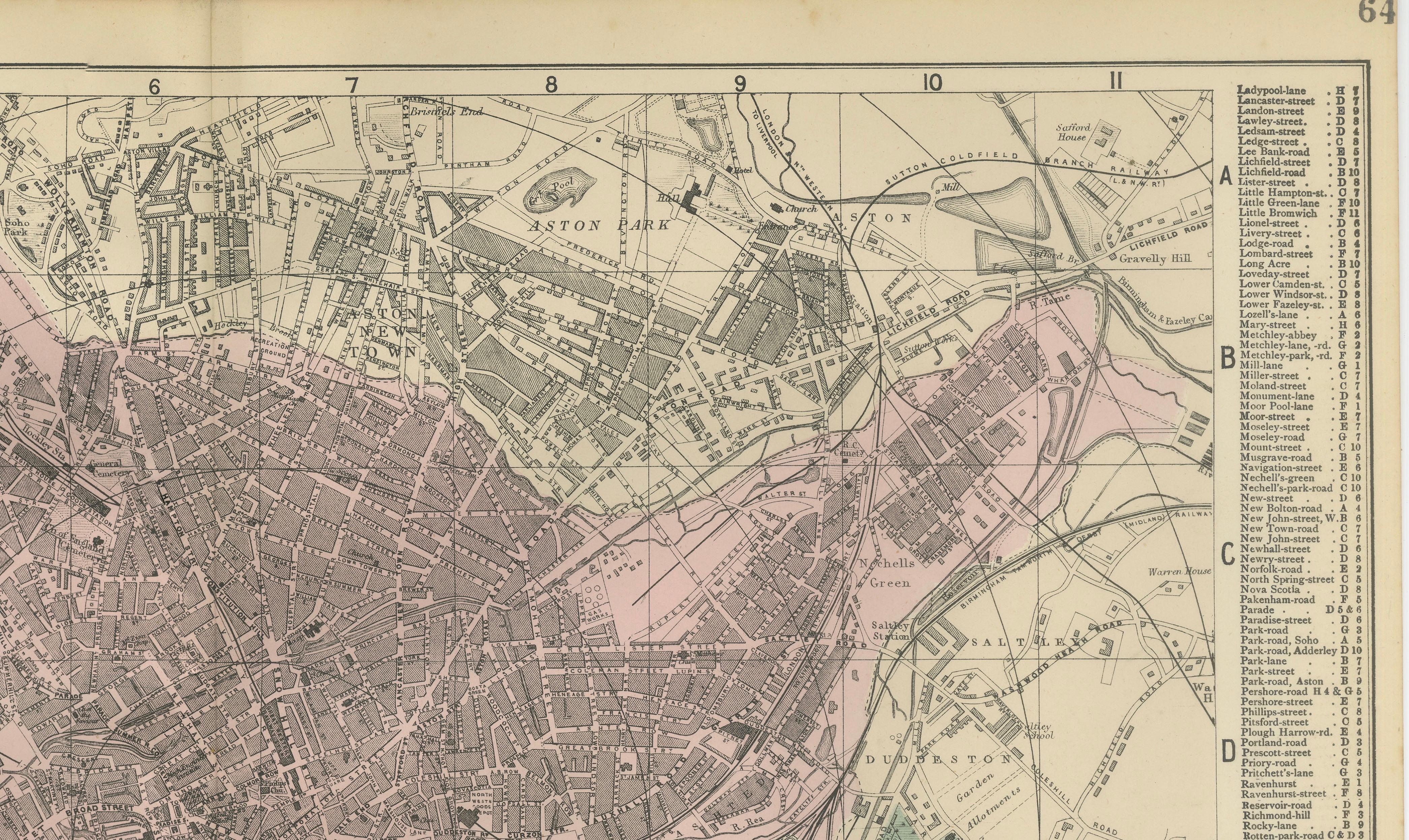
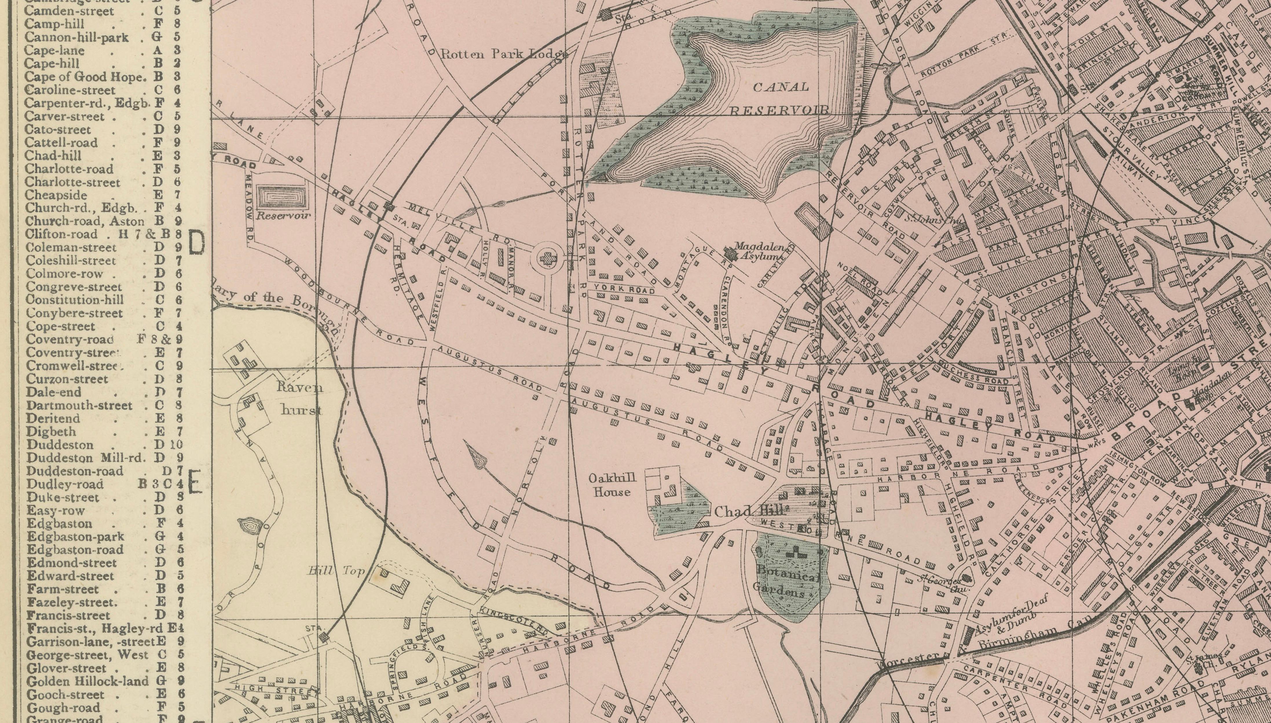
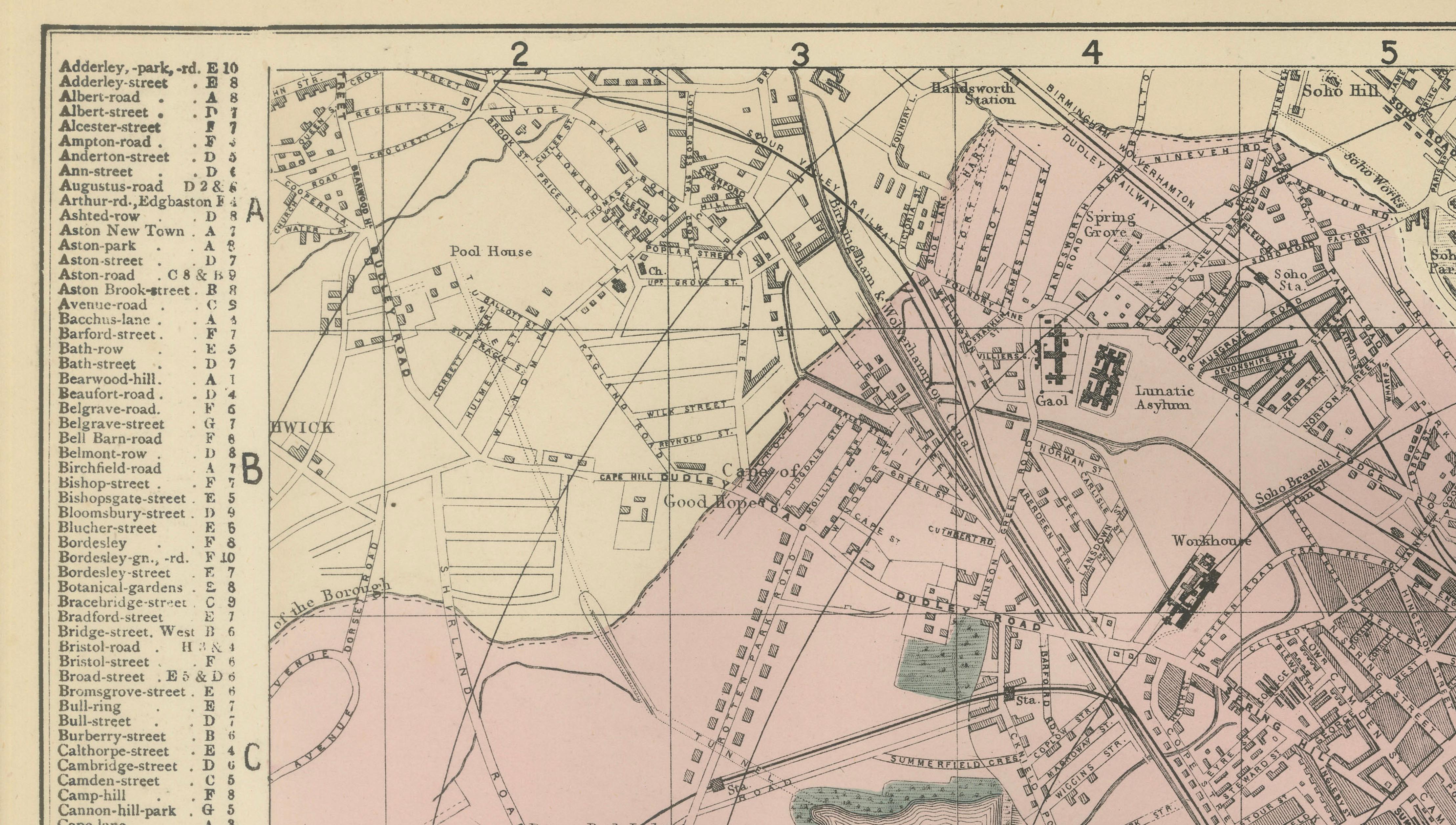
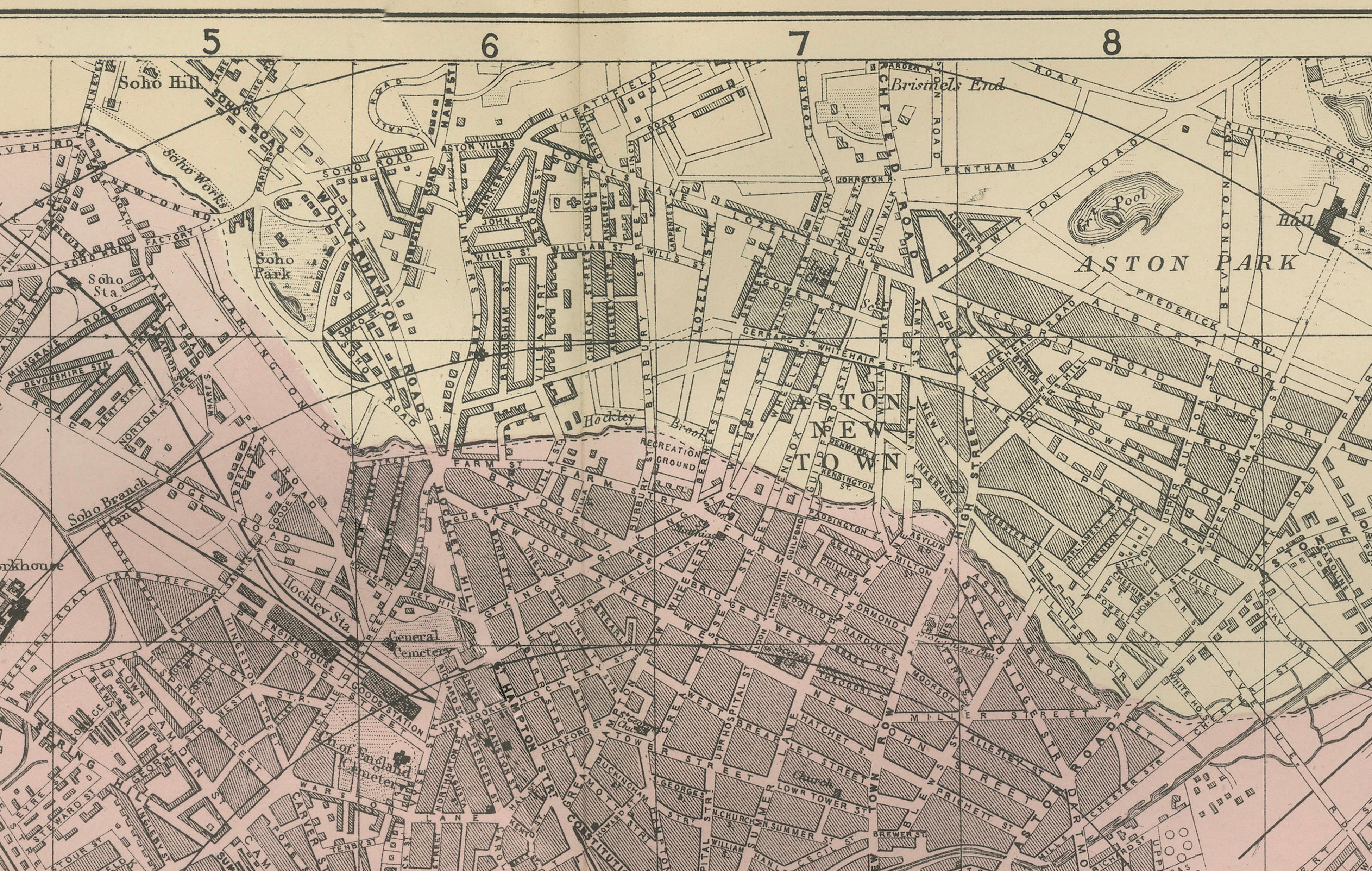
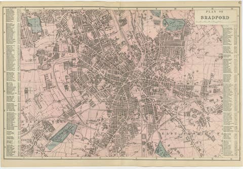
This highly detailed original lithographic city plan of Birmingham was engraved and published by Edward Weller in London in 1885. The map captures Birmingham during the late Victorian period, when the city stood at the heart of Britain's industrial revolution and was internationally celebrated as the "Workshop of the World."
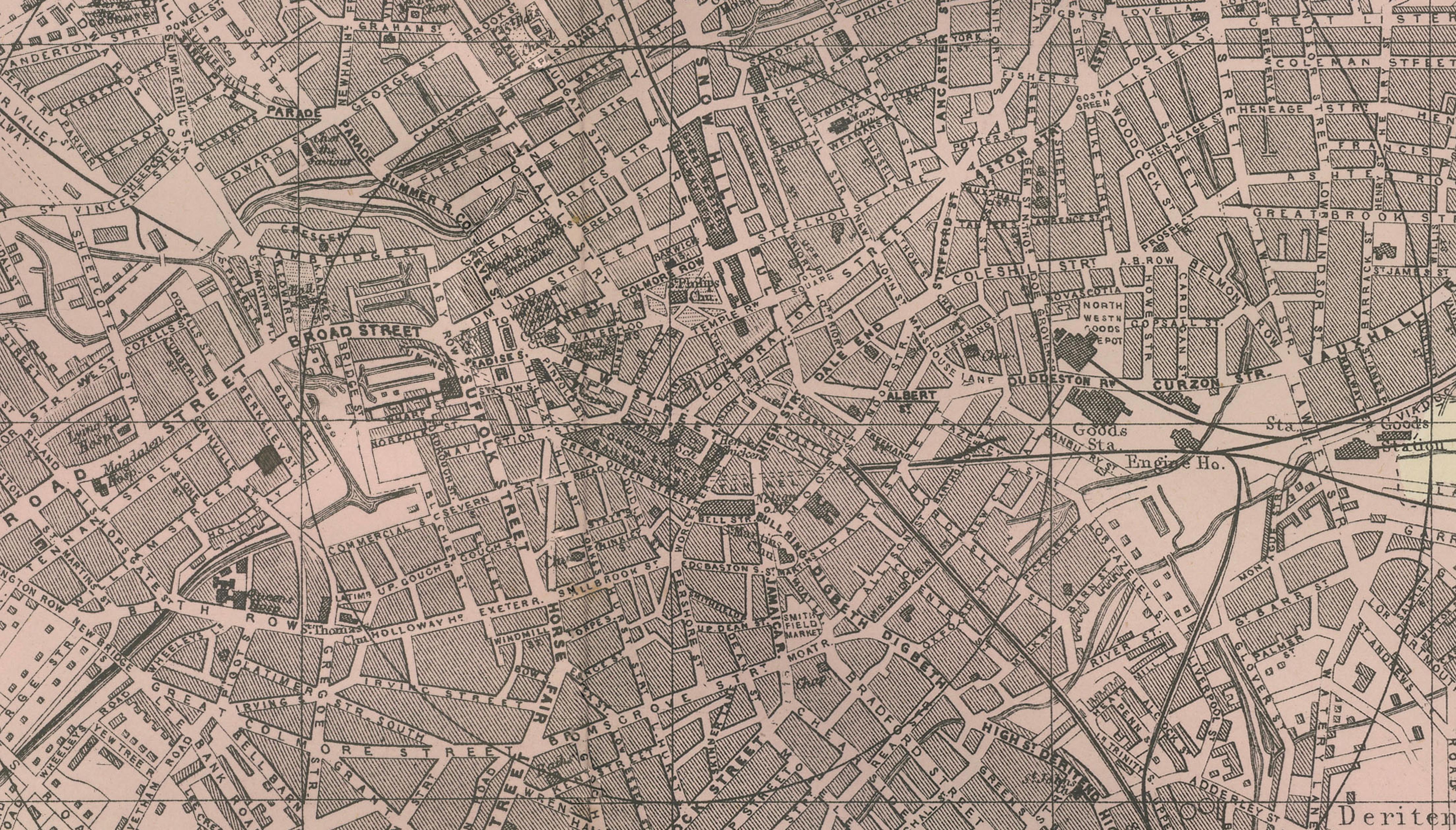
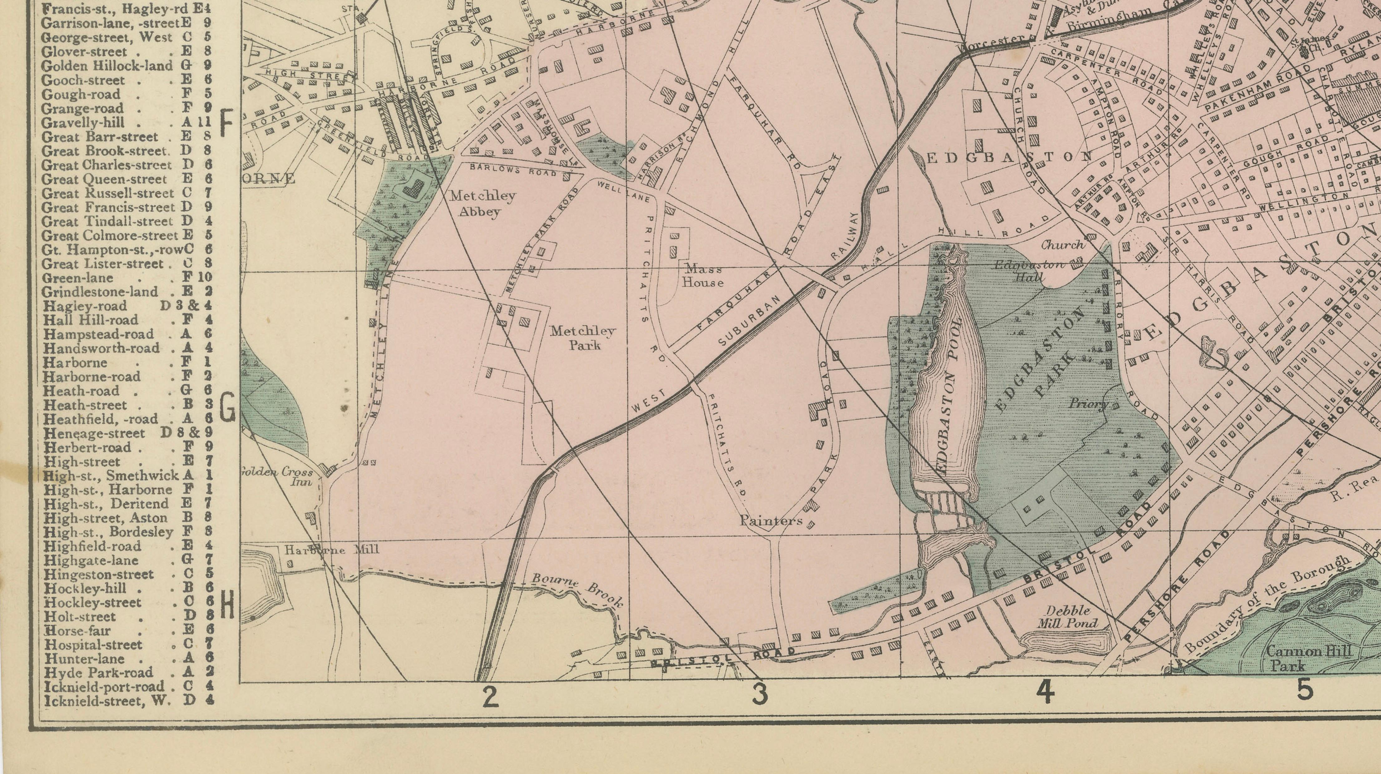
Weller's finely executed plan illustrates Birmingham at the height of its manufacturing prosperity. Streets, railways, canals, public buildings, parks, reservoirs, and surrounding suburbs are depicted with remarkable precision, providing a fascinating snapshot of one of Britain's most important industrial cities. Original hand coloring distinguishes various districts and adds decorative appeal while preserving the map's practical cartographic function.
The map encompasses the historic center of Birmingham together with many of its principal Victorian suburbs and districts. Notable areas shown include Aston, Aston Park, New Town, Duddeston, Saltley, Bordesley, Deritend, Digbeth, Edgbaston, Ladywood, Hockley, Lozells, Nechells, Adderley Park, Small Heath, and Little Bromwich. These neighborhoods collectively formed the industrial and commercial engine that powered Birmingham's extraordinary nineteenth-century growth.
Prominent landmarks and features include Aston Park, Aston Hall, Adderley Park, the Birmingham Canal system, reservoirs, major railway lines and stations, industrial works, public institutions, and the dense urban core that made Birmingham one of Europe's largest manufacturing centers. The extensive railway network and canal infrastructure illustrated on the map demonstrate the city's crucial role in national and international trade.
During the Victorian era Birmingham became renowned for metalworking, engineering, jewelry, firearms manufacture, steam technology, and countless small industries. This remarkable diversity earned the city its enduring nickname, "The Workshop of the World." The map records this period of unprecedented expansion and innovation, making it an important historical document of Britain's industrial heritage.
Today Birmingham remains England's second-largest city and one of the country's most influential commercial centers. This map offers collectors an opportunity to own an authentic nineteenth-century view of the city during one of the most transformative periods in its history.
This original antique map appeals to collectors of Birmingham history, industrial archaeology, railway history, canal history, urban planning, and Victorian cartography. It also makes an impressive decorative statement for a home, office, library, or corporate setting.
Condition: Good condition for a map of this age. Light age toning, minor handling wear, and original center fold as issued. Please examine the photographs carefully for complete condition details.
Framing Tips: This map displays beautifully in a dark walnut, black, or mahogany frame with an ivory museum mat. A wide mat border complements the intricate Victorian engraving and creates a sophisticated presentation suitable for both traditional and contemporary interiors.
Technique: Lithograph with original hand color
Maker: Edward Weller, London, 1885
Keywords: Birmingham, Victorian Birmingham, Workshop of the World, Birmingham City Plan, Birmingham Map, Aston, Aston Park, Aston Hall, New Town, Duddeston, Saltley, Bordesley, Deritend, Digbeth, Edgbaston, Ladywood, Hockley, Lozells, Nechells, Adderley Park, Small Heath, Little Bromwich, Birmingham Canal, Canal Reservoir, Industrial Birmingham, West Midlands, Warwickshire, Jewellery Quarter, Victorian England, Industrial Revolution, Railway History, Canal History, Urban Cartography, Historic Birmingham, Edward Weller, Antique City Map, British Manufacturing, Metalworking Industry, Engineering Heritage, English Industrial History, Nineteenth Century Map, Original Antique Map, Victorian Town Plan, Birmingham Heritage.