About this sheet
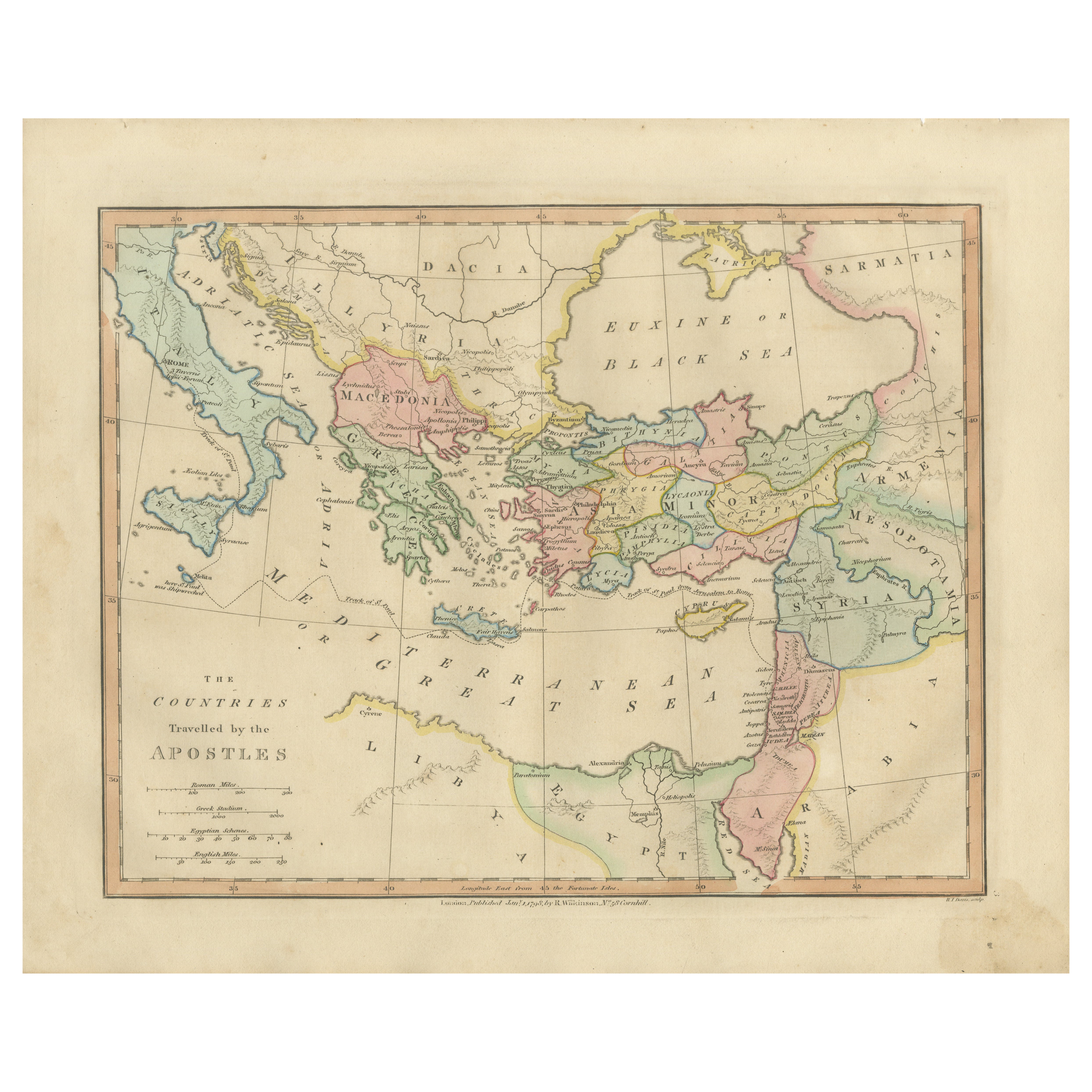
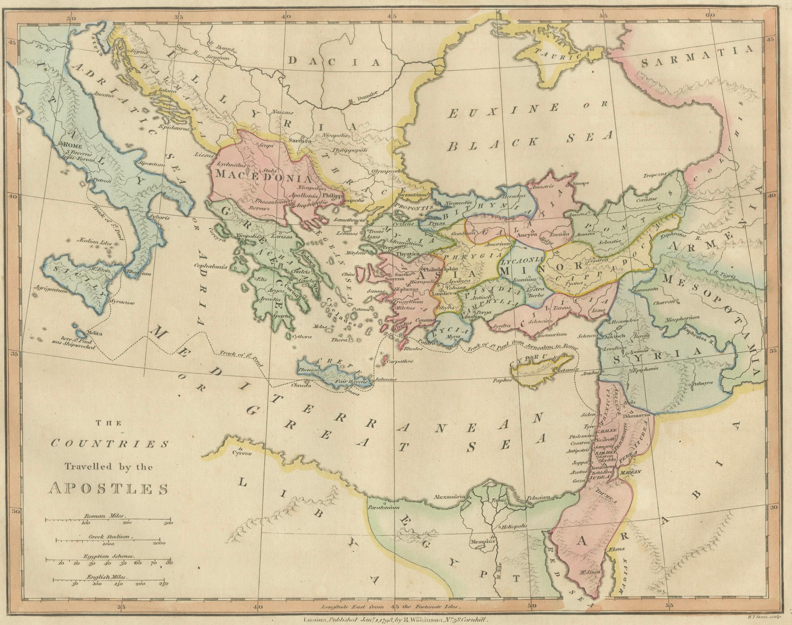
Early Christian World Biblical Map — Travels of the Apostles, Antique, 1798
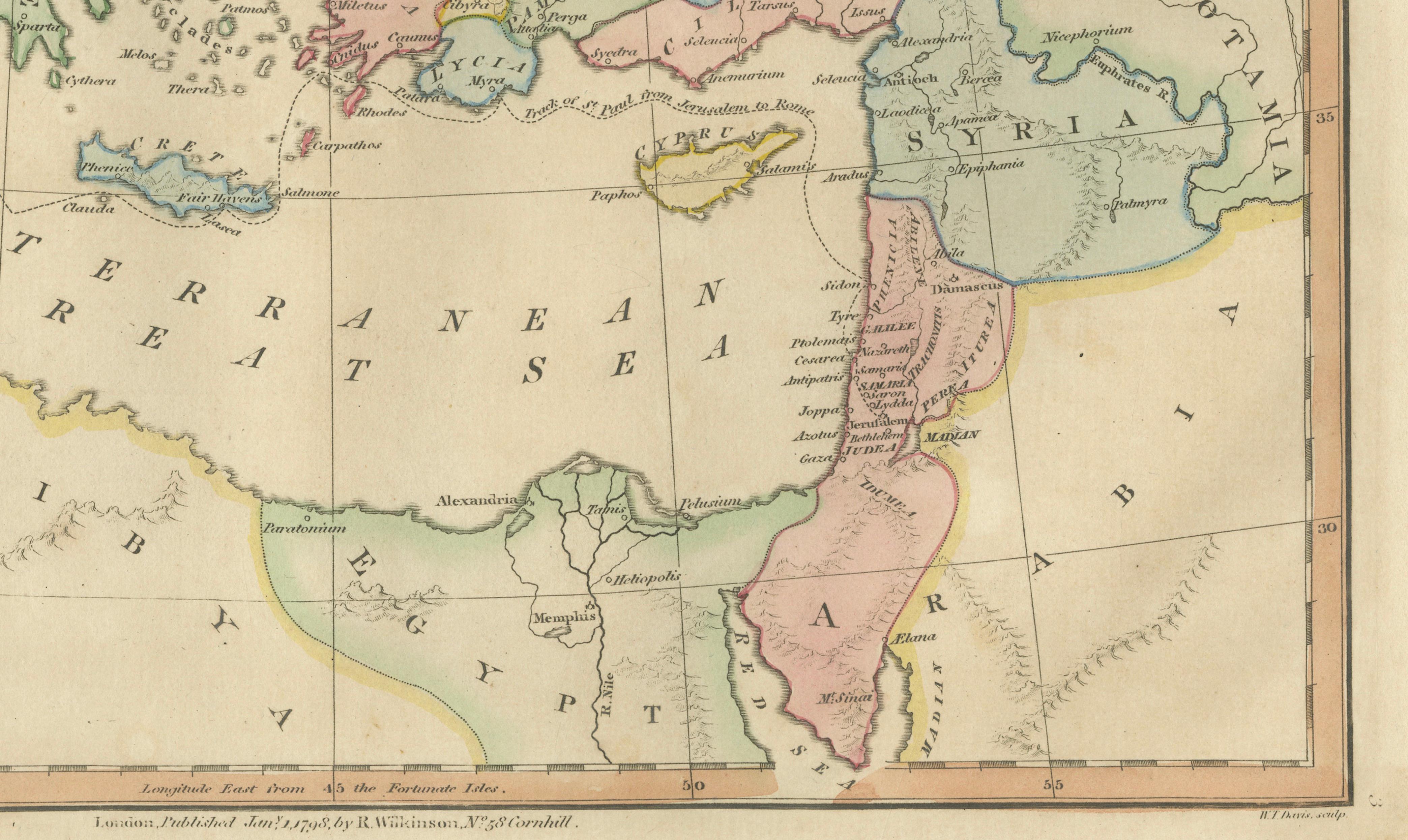
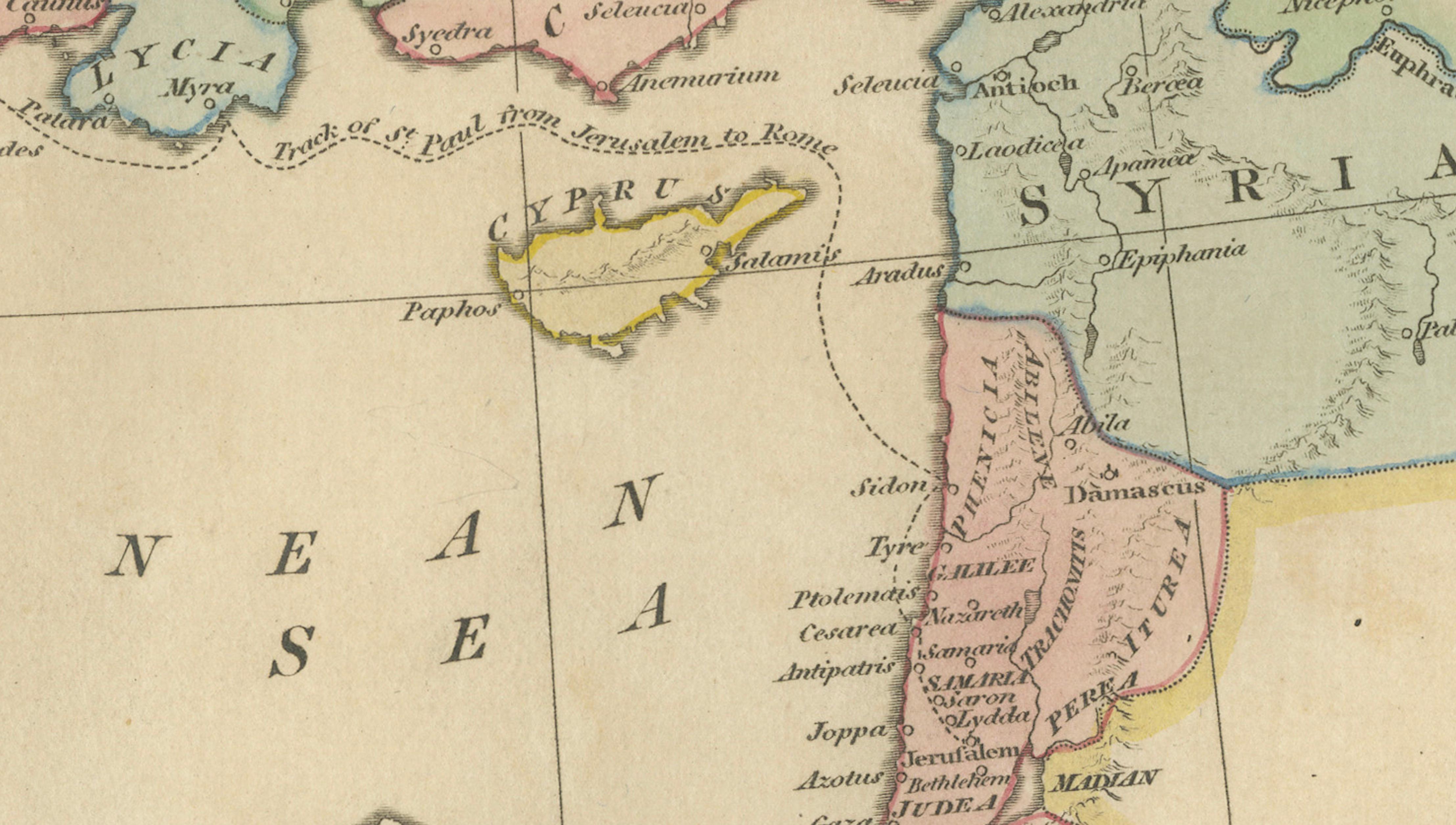
This finely engraved and delicately hand-colored biblical map titled “The Countries Travelled by the Apostles” was published in London in 1827 as part of Wilkinson’s Atlas Classica, a scholarly atlas devoted to sacred and classical geography. The map illustrates the geographic extent of the early Christian world, tracing regions associated with the missionary journeys of the Apostles and the spread of Christianity across the Mediterranean basin and the Near East.
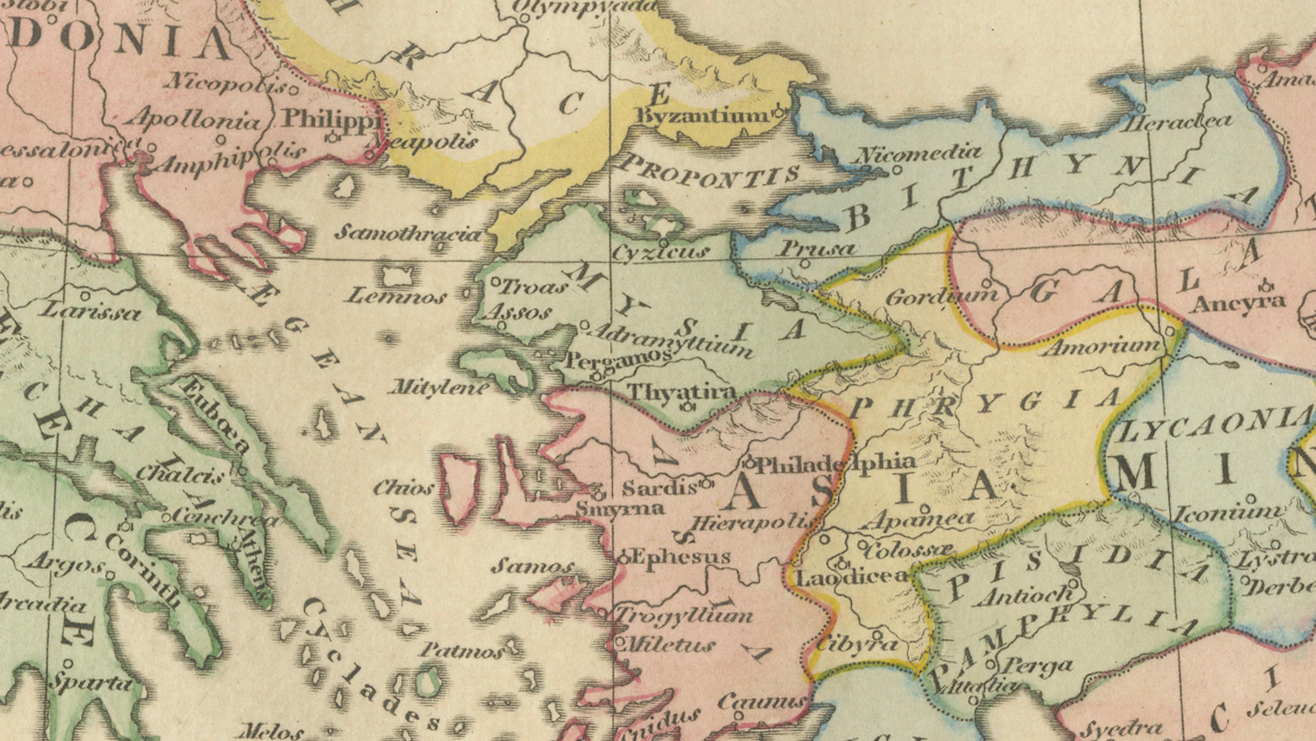
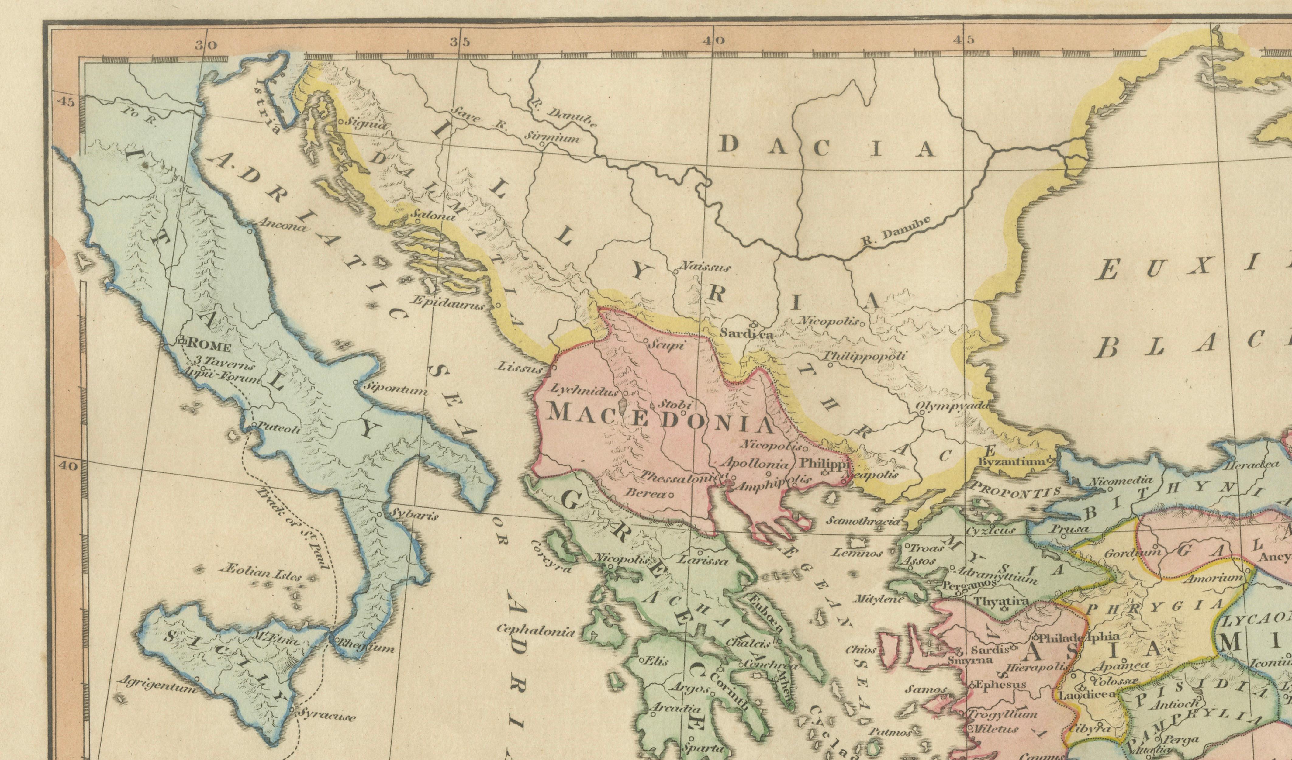
The composition spans a broad area extending from Italy and the Adriatic across Greece, Asia Minor, and the Levant toward Mesopotamia and Egypt, encompassing many of the principal centers of early Christian activity. Soft original hand coloring distinguishes historical regions such as Macedonia, Galatia, Cappadocia, Syria, Judea, and Egypt, providing visual clarity while maintaining aesthetic harmony. Numerous important cities and regions connected with apostolic journeys appear throughout, including Jerusalem, Antioch, Ephesus, Corinth, Philippi, and Rome, reflecting the routes described in early Christian texts and traditions.
Executed in refined copperplate engraving typical of early nineteenth-century London atlas production, the map combines elegant typography, precise line work, and balanced composition. The restrained decorative style emphasizes clarity and educational purpose, characteristic of Enlightenment-influenced sacred cartography. Such maps were produced as both scholarly tools and devotional aids, helping viewers visualize the historical geography of early Christianity.
Maps illustrating apostolic journeys hold particular appeal for collectors because they bridge biblical narrative with classical geography, offering both historical and religious significance. The harmonious pastel palette and expansive geographic scope make this example an excellent decorative statement as well as an intellectually engaging historical object.
The horizontal format lends itself beautifully to framing and works equally well as a standalone artwork or as part of a curated grouping with related biblical maps from the same Wilkinson series.
Condition report: Good overall condition for age. Light age toning and minor foxing consistent with early nineteenth-century paper. Minor marginal wear from atlas removal. Original hand color remains fresh and attractive.
Framing tips: A dark walnut or warm brown frame paired with a generous ivory or off-white mat enhances the pastel coloring and creates a refined museum-style presentation suitable for both classic and contemporary interiors.
Technique: Copperplate engraving with original hand color
Maker: Wilkinson, London, 1827
Keyword block (important places and regions visible on the map):
Apostles, Early Christianity, Mediterranean Sea, Italy, Rome, Adriatic Sea, Greece, Macedonia, Thessalonica, Philippi, Corinth, Athens, Crete, Cyprus, Asia Minor, Anatolia, Galatia, Cappadocia, Phrygia, Lycia, Pamphylia, Cilicia, Antioch, Syria, Damascus, Judea, Jerusalem, Bethlehem, Galilee, Samaria, Jordan River, Dead Sea, Egypt, Alexandria, Nile Delta, Libya, Mesopotamia, Euphrates River, Tigris River, Armenia, Black Sea, Pontus, Bithynia, Galilee Sea, Levant, Phoenicia, Tyre, Sidon, Ephesus, Pergamon, Troas, Colossae, Laodicea, Iconium, Lystra, Derbe, Seleucia, Caesarea, Paphos, Salamis, Rhodes, Samos, Patmos, early Christian routes, apostolic journeys, sacred geography, biblical cartography.