Maps & PrintsBartele Gallery · Langweer
Home / Antique Maps / World Maps

World Maps · 18th century

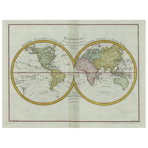
Antique Map of the Persian Gulf and Caspian Sea Region by R. Bonne, 1780

€ 127

One of a kind: this is the sheet in the photographs. Ships from Langweer, the Netherlands.

Date
1780
Sheet size
26 × 38.4 cm (10.2 × 15.1 in)
Condition
Good
Reference
BGI-00716

Condition

Minor fading. Please study image carefully.
About this sheet

Antique print titled 'Carte de la Perse, de la Georgie, et de la Tartarie Independante'. Shows the region from the Persian Gulf and Caspian Sea in the west to the edges of China/Tibet in the east. Drawn by R. Bonne for G. Raynal’s Atlas de Toutes les Parties Connues du Globe Terrestre, Dressé pour l'Histoire Philosophique et Politique des Établissemens et du Commerce des Européens dans les Deux Indes.

More from World Maps

Ask about this sheet

Antique Map of the Persian Gulf and Caspian Sea Region by R. Bonne, 1780
1780 · Ref. BGI-00716 · € 127
We reply by email, usually within one working day.