About this sheet
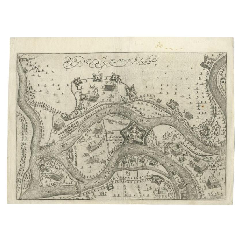
Antique map titled 'Prata Inundata'. This map depicts the area between the Maas and Waal river (The Netherlands) during the siege of St. Andries and Voorne under command of prince Maurits, May 1600. This map originates from 'La genealogie des illustres Comtes de Nassau' by Jan Jansz. Orlers. Artists and Engravers: Jan Janszoon Orlers (1570 - 1646), Dutch historian.
Condition: Very good, some creasing. Please study image carefully.
Date: 1615
Overall size: 33 x 25 cm.
Image size: 0.001 x 26.5 x 22 cm.
They were the product of engraved, etched or lithographed plates. These plates were handmade out of wood or metal, which required an incredible level of skill, patience and craftsmanship. Whether you have a house with Victorian furniture or more contemporary decor an old engraving can enhance your living space. We offer a wide range of authentic antique prints for any budget.