Cartography Print 1852 – Educational Diagram of Mountains, Winds, and Reefs
€ 240
Original antique · The actual sheet photographed · Certificate of authenticity on request · Sold unframed · Worldwide shipping from € 15 (rates)
Date
1852
Sheet size
27.4 × 34.5 cm (10.8 × 13.6 in)
Condition
Good
Reference
BG-13207-1
What the condition grades mean
Excellent
Bright and clean, with no faults worth mentioning.
Very good
Only light signs of age, such as faint toning.
Good
Normal signs of age for a sheet of this period: toning, some foxing, small marks or neat old repairs.
Fair
Clear faults such as staining, tears or repairs, priced to match.
Every fault we see is written in the condition note, and the whole sheet is shown uncropped in the photos.
Condition
Very good antique condition. Clean impression with light age-toning and minimal foxing. Edges show only minor wear. Fold in middle as issued. Suitable for immediate display or archival framing.
About this sheet
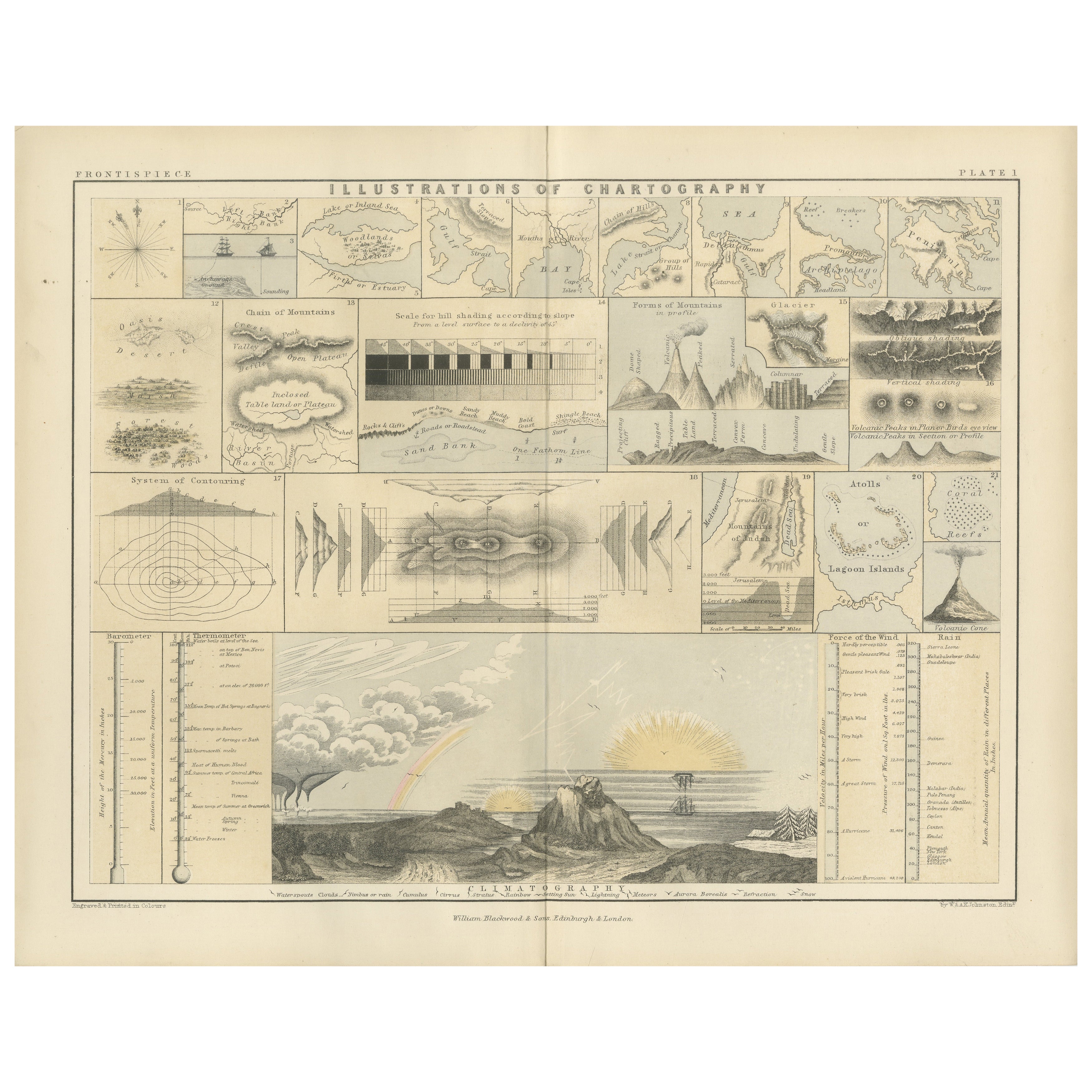
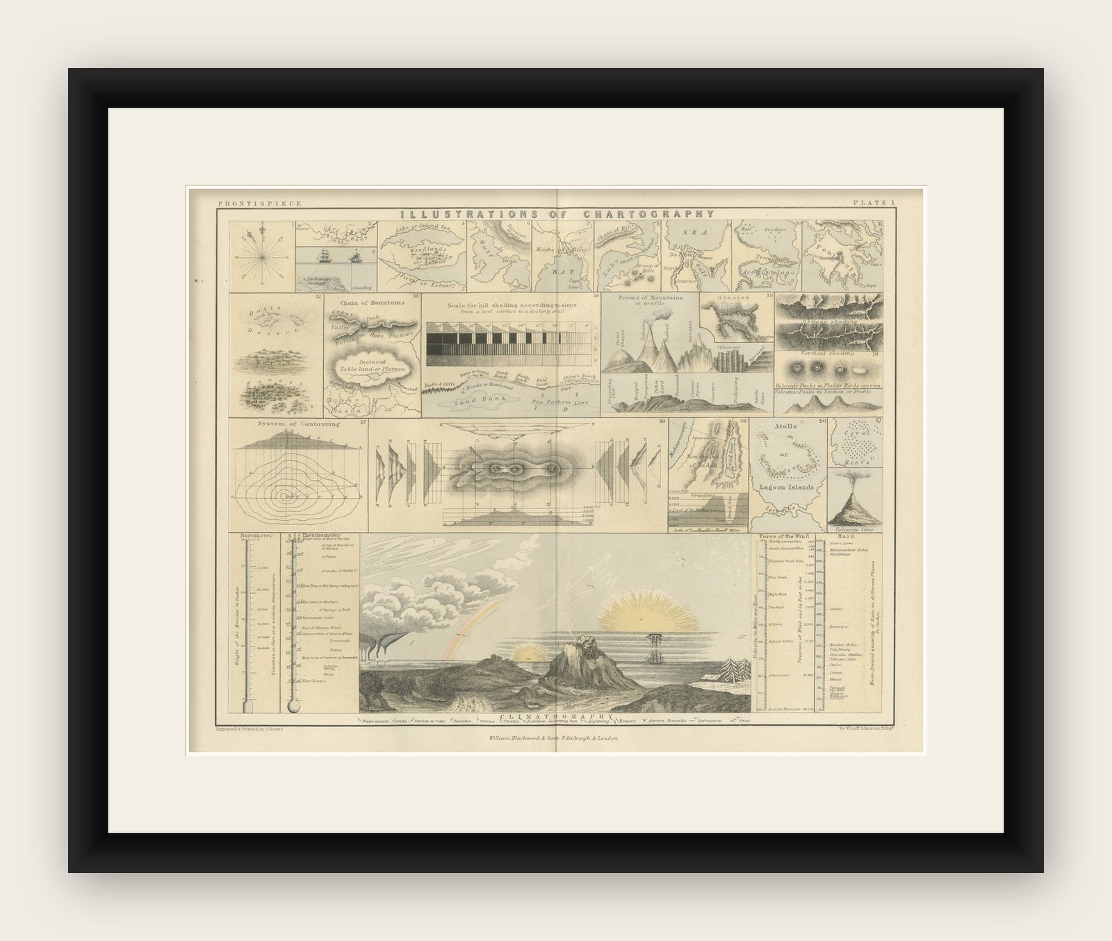
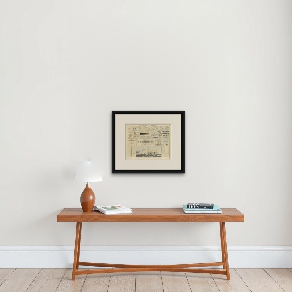
Cartographic Masterpiece 1852 – Illustrated Guide to Map Symbols and Climate This original 1852 plate titled "Illustrations of Chartography Plate I" offers a fascinating and visually rich introduction to 19th-century mapping techniques. Published in A School Atlas of Physical Geography by the eminent Scottish cartographer Alexander Keith Johnston, the plate served as an educational tool designed to teach the principles of cartography, climatology, geology, and meteorology.
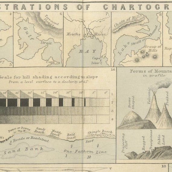
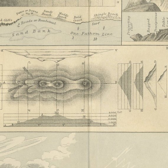
The detailed engravings include symbolic representations used on maps, such as forms of mountains, volcanoes, reef systems, and rainfall diagrams, along with charts of wind directions, cloud formations, and the system of contouring. Particularly notable is the lower section titled "Climatography," which combines scientific elements into a picturesque landscape featuring a rainbow, tornado, sea spray, and a mountain chain—all stylized to represent the natural forces shaping Earth’s surface.
Johnston was a leading cartographer of the Victorian period, and this atlas was used widely in schools and scientific circles for its clarity and innovative visual methods. The plate was engraved and printed by W. & A.K. Johnston, his family firm, which gained a global reputation for excellence in educational publishing.
This chart is not only historically significant but also aesthetically appealing, making it an ideal piece for collectors of antique scientific prints or for elegant interior decoration with an academic flair.
Very good antique condition. Clean impression with light age-toning and minimal foxing. Edges show only minor wear. Fold in middle as issued. Suitable for immediate display or archival framing.
Tips for Framing: Mat in light ivory or soft taupe to highlight the warm aged tones. Use a slim black or walnut wood frame for a classic scientific look that pairs well with academic or minimalist interiors.