Maps & PrintsBartele Gallery · Langweer
Home / Antique Maps / Europe / Northern Europe

Northern Europe · 18th century

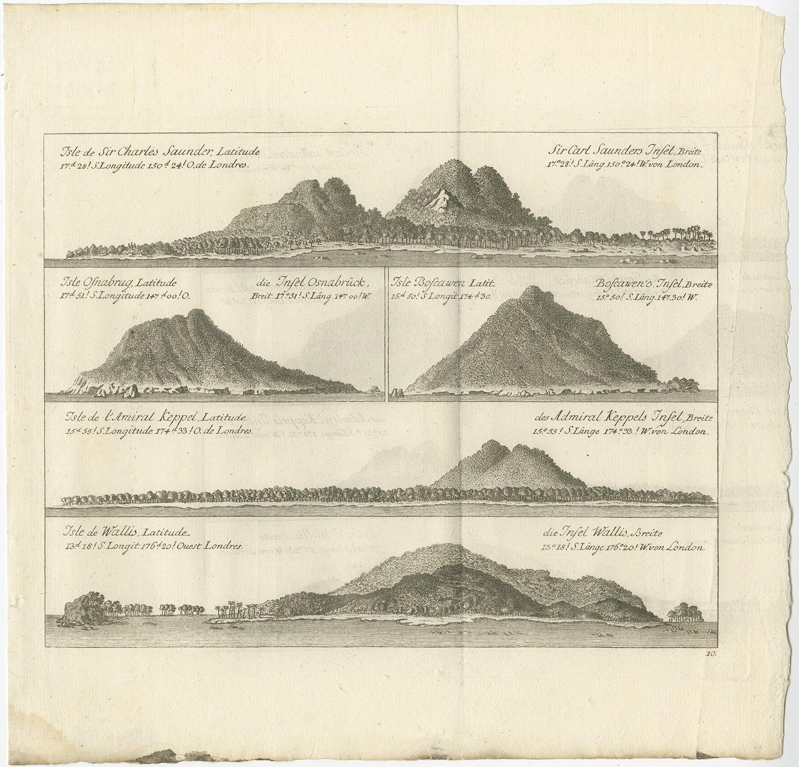
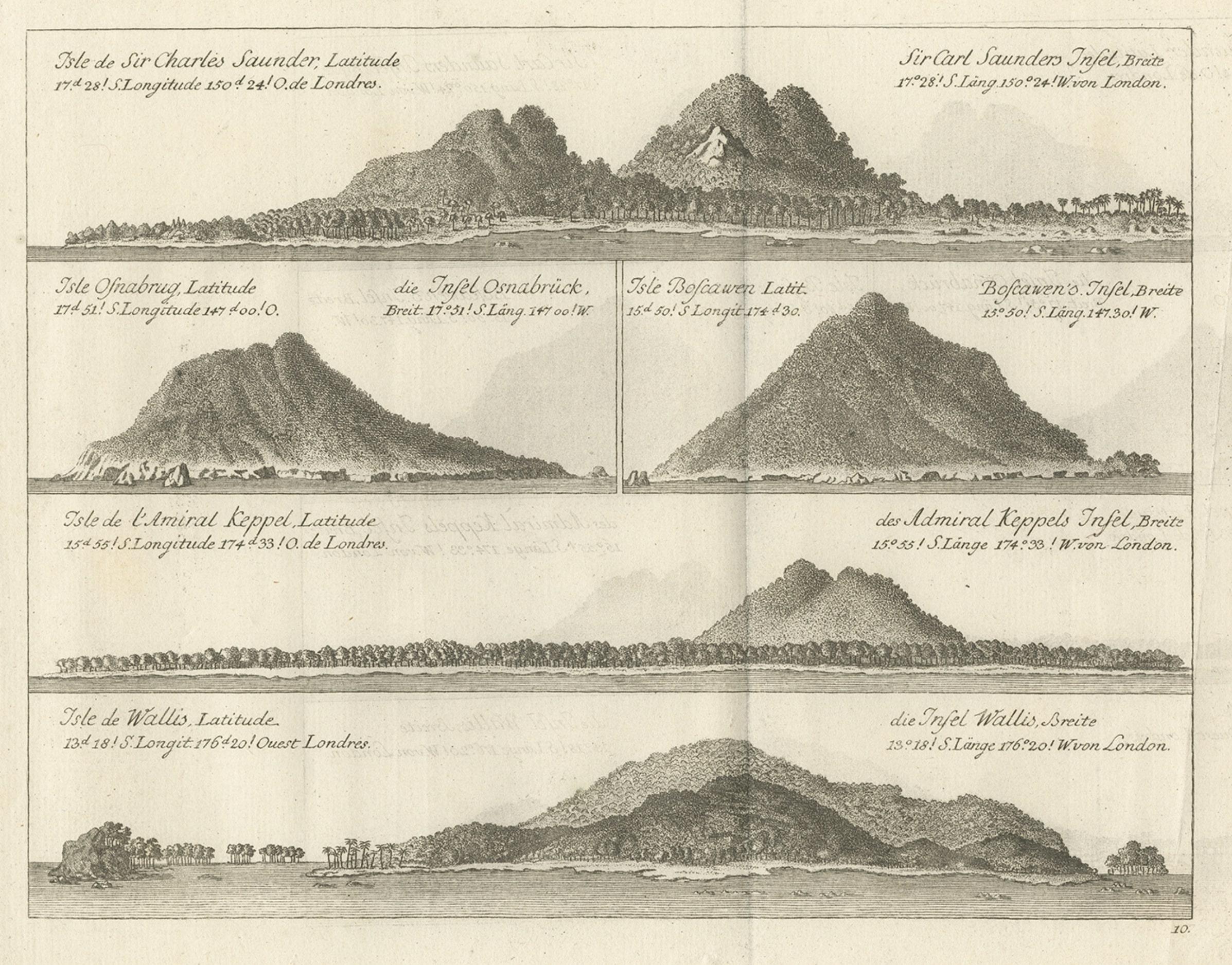
Views of Saunders, Osnaburg, Boscawens, Admiral Keppel's & Wallis Island, c.1774

€ 410

Original antique · The actual sheet photographed · Certificate of authenticity on request · Sold unframed · Worldwide shipping from € 15 (rates)

Date
1774
Sheet size
27 × 28 cm (10.6 × 11.0 in)
Reference
BGJC-202

Condition

Very good, some creases. Please review the images for further condition details.
About this sheet

Antique print titled 'Isles de Sir Charles Saunder Latitude (..)'.

Coastal views of Sir Charles Saunders Island ; Osnaburg Island [Mehetia, in French Polynesia] ; Boscawens Island [Tafahi, in Tonga] ; Admiral Keppel's Island [Niuatoputapu]; Wallis Island [Uvea]. Originates from an edition of Cook's Voyages.

Artists and Engravers: James Cook (Author, 1728-1779) was a British captain, explorer and cartographer.

More from Northern Europe

Ask about this sheet

Views of Saunders, Osnaburg, Boscawens, Admiral Keppel's & Wallis Island, c.1774
1774 · Ref. BGJC-202 · € 410
We reply by email, usually within one working day.