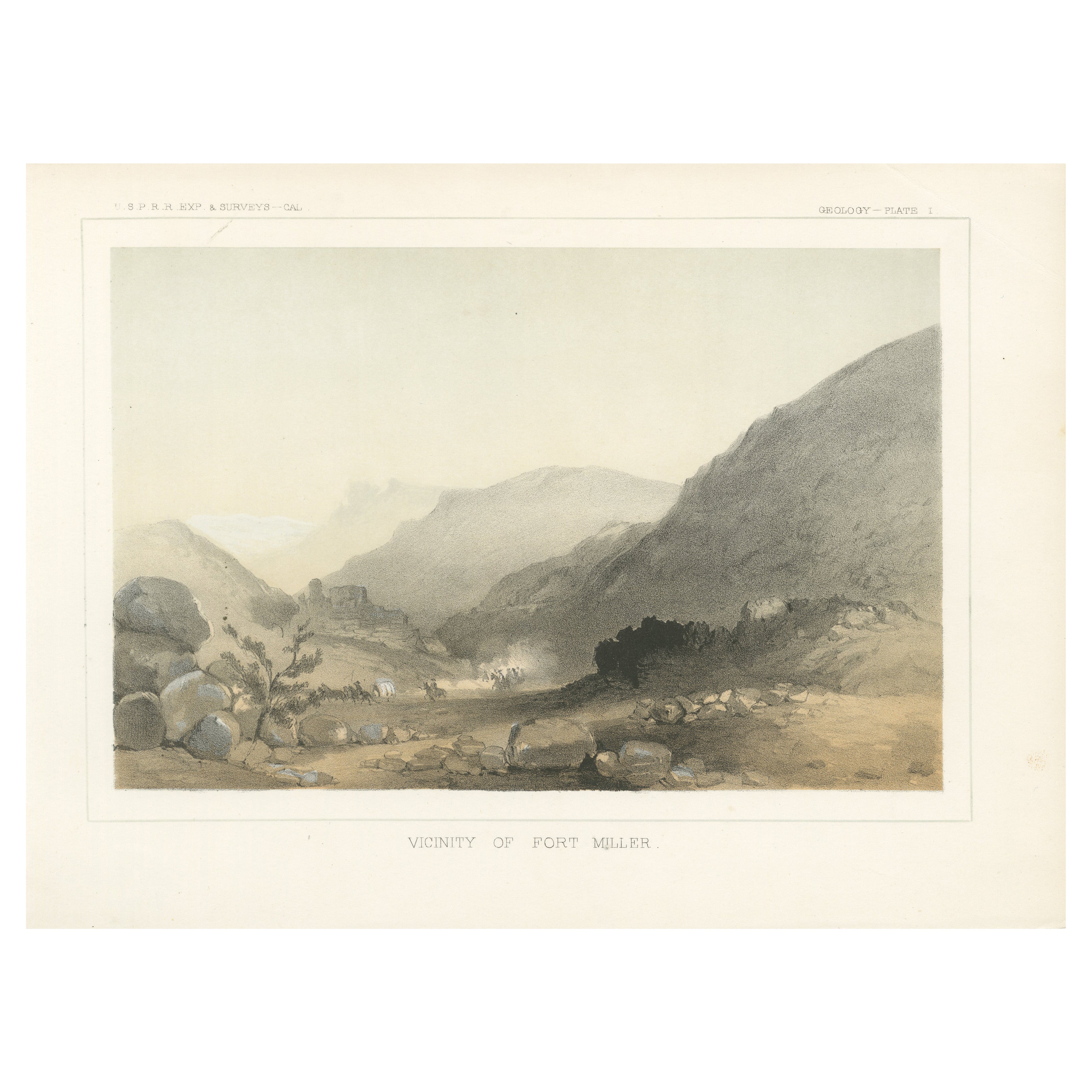
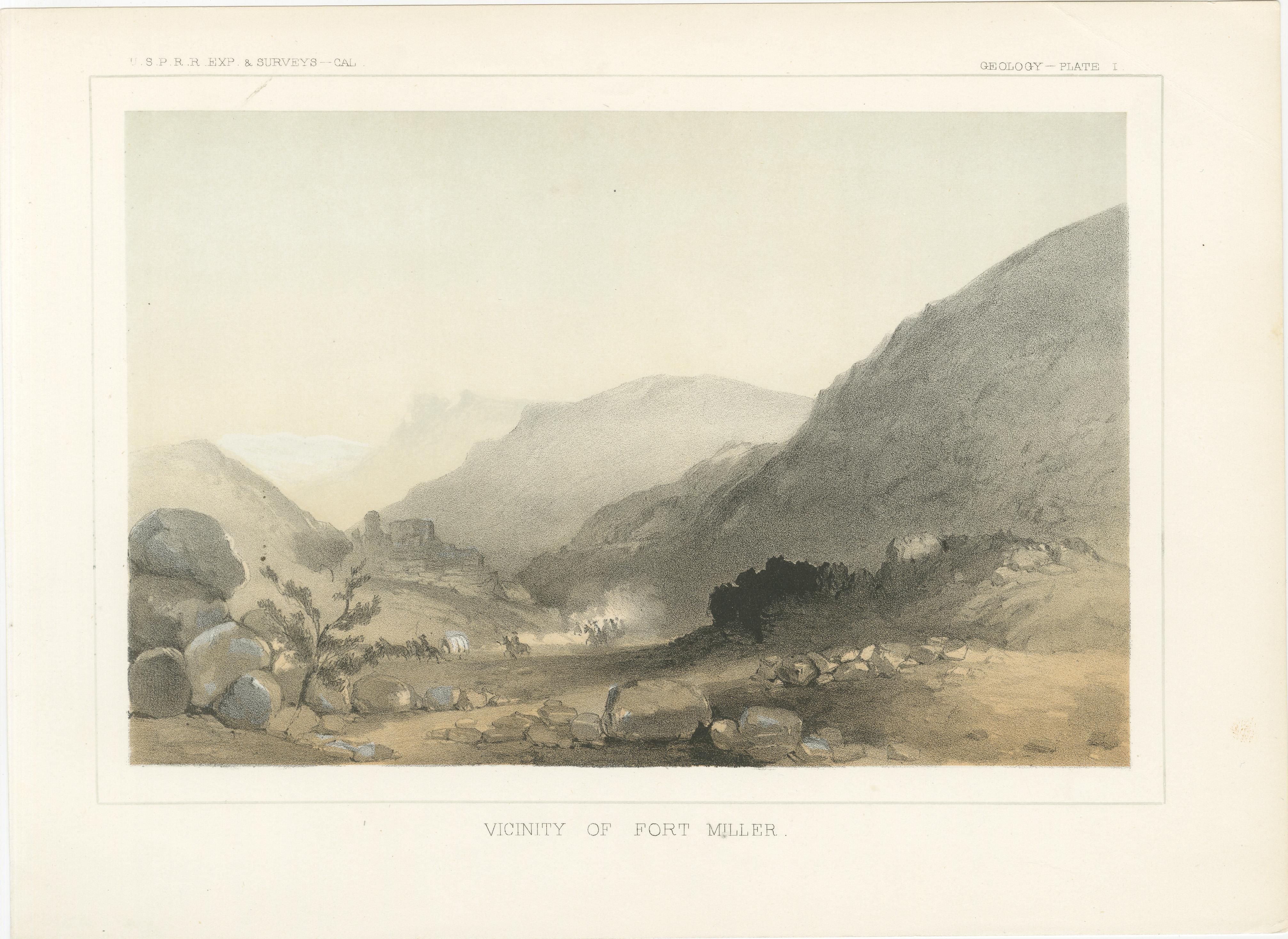
1856 Tinted Litho of the Vicinity of Fort Miller, Southeast of Fresno California
€ 220
One of a kind: this is the sheet in the photographs. Ships from Langweer, the Netherlands.
Date
1856
Sheet size
20.7 × 28.3 cm (8.1 × 11.1 in)
Reference
BG-14038-12
Condition
Very good, with clean margins and vibrant tones. Minor signs of age on the edges (a crease in the top right corner) do not affect the central image.
About this sheet
This atmospheric lithograph, "Vicinity of Fort Miller," depicts the rugged terrain surrounding one of the key sites of mid-19th-century exploration in California. Published as Geology Plate I in the Pacific Railroad Exploration Survey reports of 1856, this piece showcases the dramatic interplay of light and shadow across the rocky landscape. The print captures the stark beauty of the wilderness, framed by distant mountains and the soft hues of the open sky.
The scene features a caravan of travelers and their wagons winding through the valley, emphasizing the scale and isolation of the environment. The composition subtly conveys the challenges of navigating such untamed terrain during the westward expansion. Produced by master lithographers, the tinted lithography technique used here brings depth and texture to the scene, enhancing its historical and artistic value.
As part of the Pacific Railroad Survey, this lithograph documents both the physical geography of the region and the spirit of exploration that defined the era. It is not only a work of art but also a valuable piece of historical record.
Additional information: The Vicinity of Fort Miller is southeast of Fresno, California, though it is now submerged beneath Millerton Lake. Location Details: Fort Miller was originally established in 1851 as a U.S. Army post along the San Joaquin River to protect settlers during the California Gold Rush. It was located in what is now Madera County, approximately 20 miles northeast of Fresno. The fort and the surrounding settlement were abandoned in the late 19th century. When Friant Dam was completed in 1942, the rising waters of Millerton Lake covered the remains of Fort Miller. The general southeast direction you mentioned depends on reference points. If measured from certain locations in Fresno County, the fort would be more northeast rather than southeast. However, from San Joaquin Valley settlements further south, it could be described as southeast.
Condition: Very good, with clean margins and vibrant tones. Minor signs of age on the edges (a crease in the top right corner) do not affect the central image.
Framing Tip: Highlight the lithograph’s muted tones with a cream or pale gray matte, paired with a classic wooden or metallic frame. This print would make a striking addition to a study, library, or any collection focused on the history and landscapes of the American West.