About this sheet
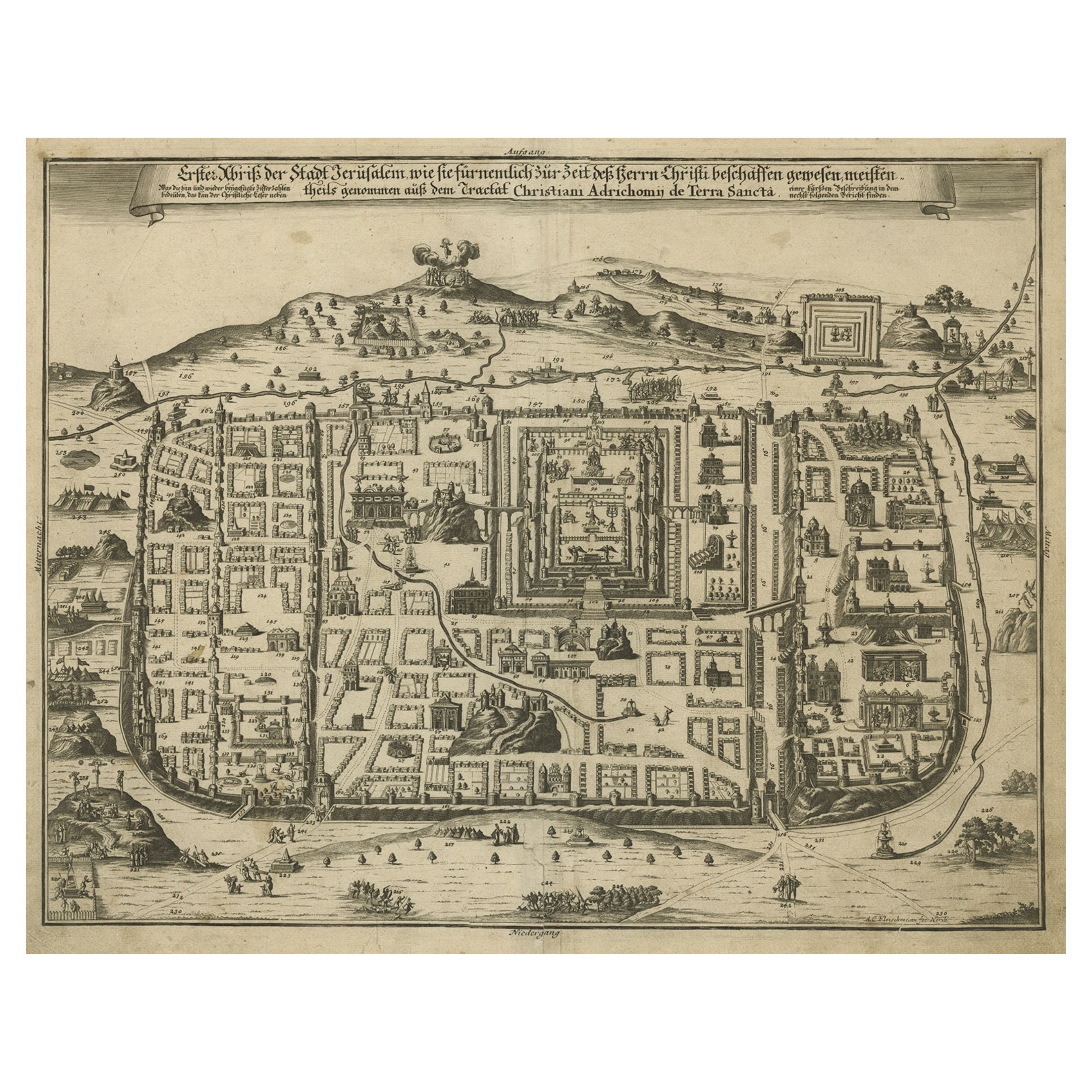
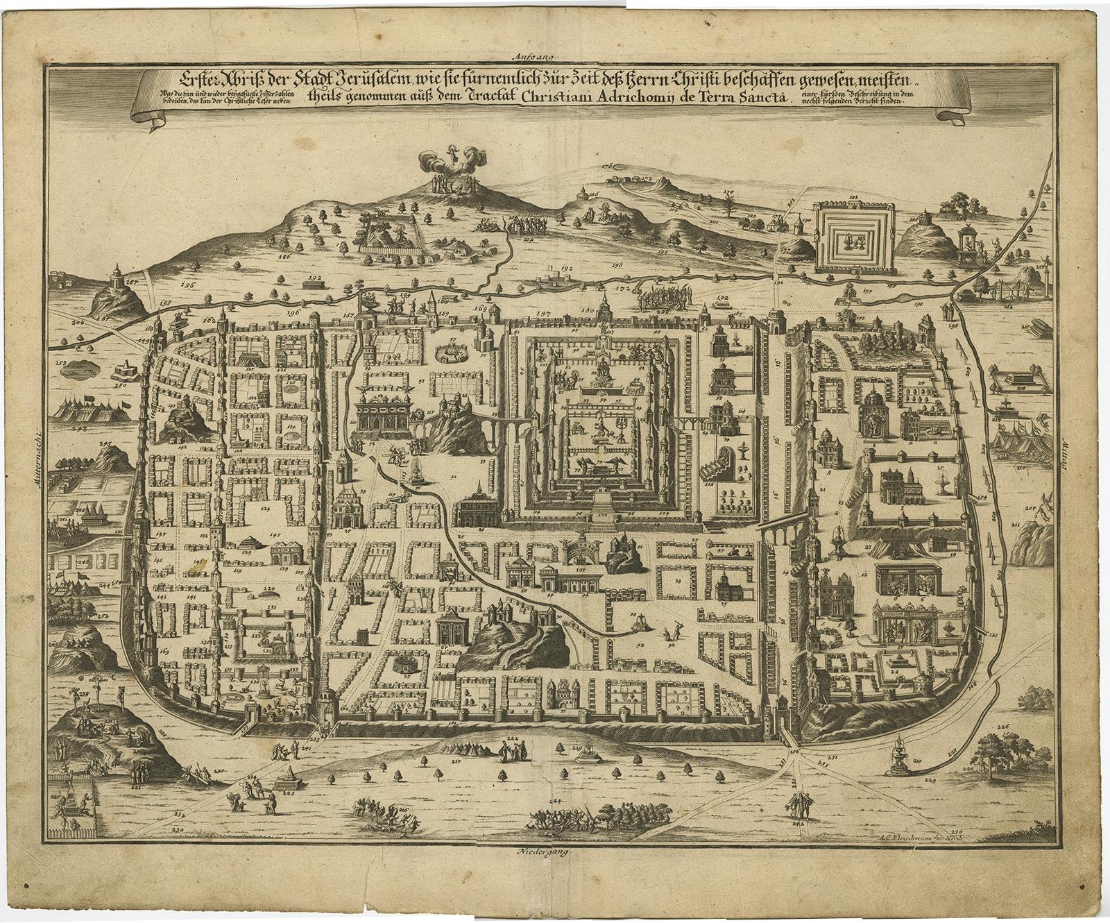
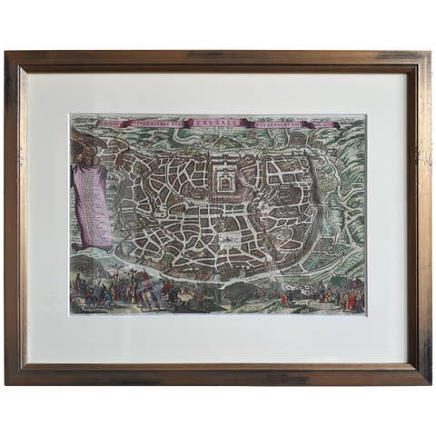
Antique map titled 'Erster Abriss der Stadt Jerusalem wie sie Furnemblich zur Zeit des Hernn Christi beschaffen (..).'
Spectacular town plan of Jerusalem, based upon Christian Van Andricom's 1584 map. Inside the fortified walls of the town are numerous buildings, statues, hills, temples, fountains, and other places of biblical signficance. Outside the walls are several battles, encampments and sens from the bible.
Certainly one of the most remarkable holyland maps of the period.
This map originates from 'Biblia: das ist die gantze Heilige Schrift, Altes und Neues Testaments / verteutscht von Doctor Martin Luther: und auf gnädigste Verordnung des durchleuchtigsten Fürsten und Herrn/ Herrn Ernsts/ Hertzogen zu Sachsen (..)' published by Johann Andrea Endters Seel, Sohn und Erben 1708. The first edition appeared in 1641.
Condition: Good, given age. Edges with a few small tears. Small restored tear bottom centre fold, extending 5 cm into the image; 2 very faint spots in the upper part (in the 'air' ); one small spot in (left lower part). Soiling in the margins. Original middle fold as issued. General age-related toning and/or occasional minor defects from handling. Please study image carefully.