About this sheet
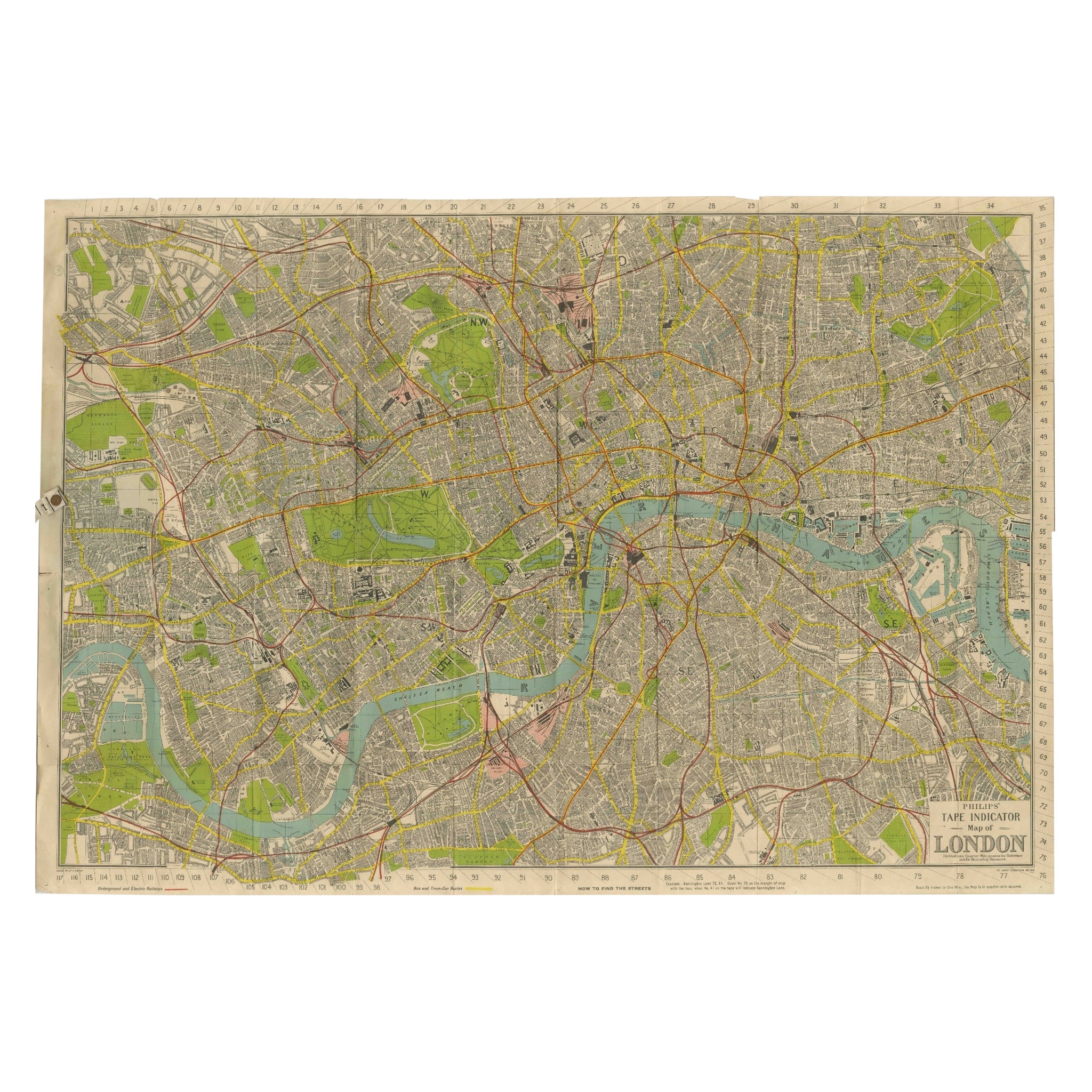
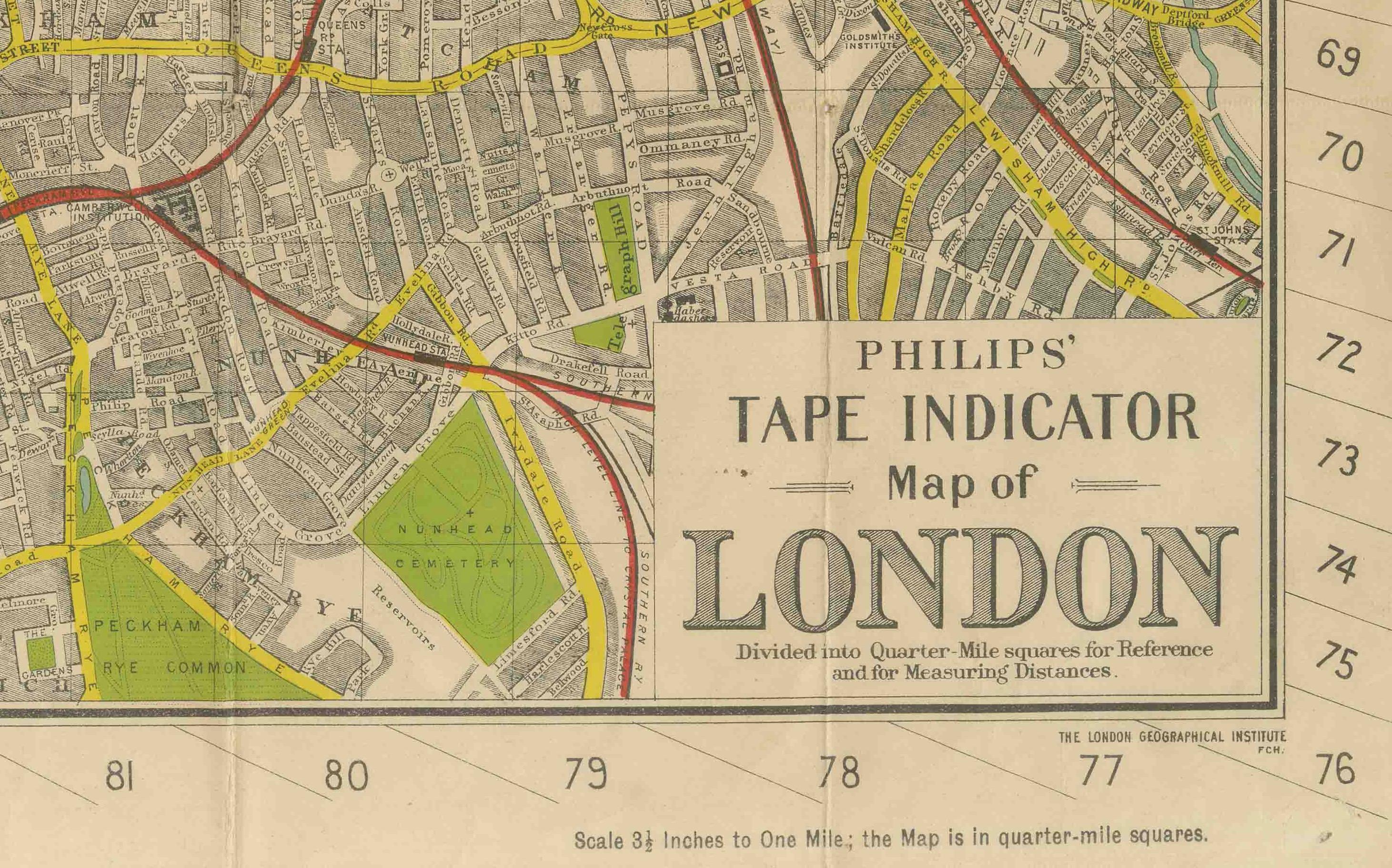
Phillips Tape Indicator Map of London c.1930 – Antique City Plan
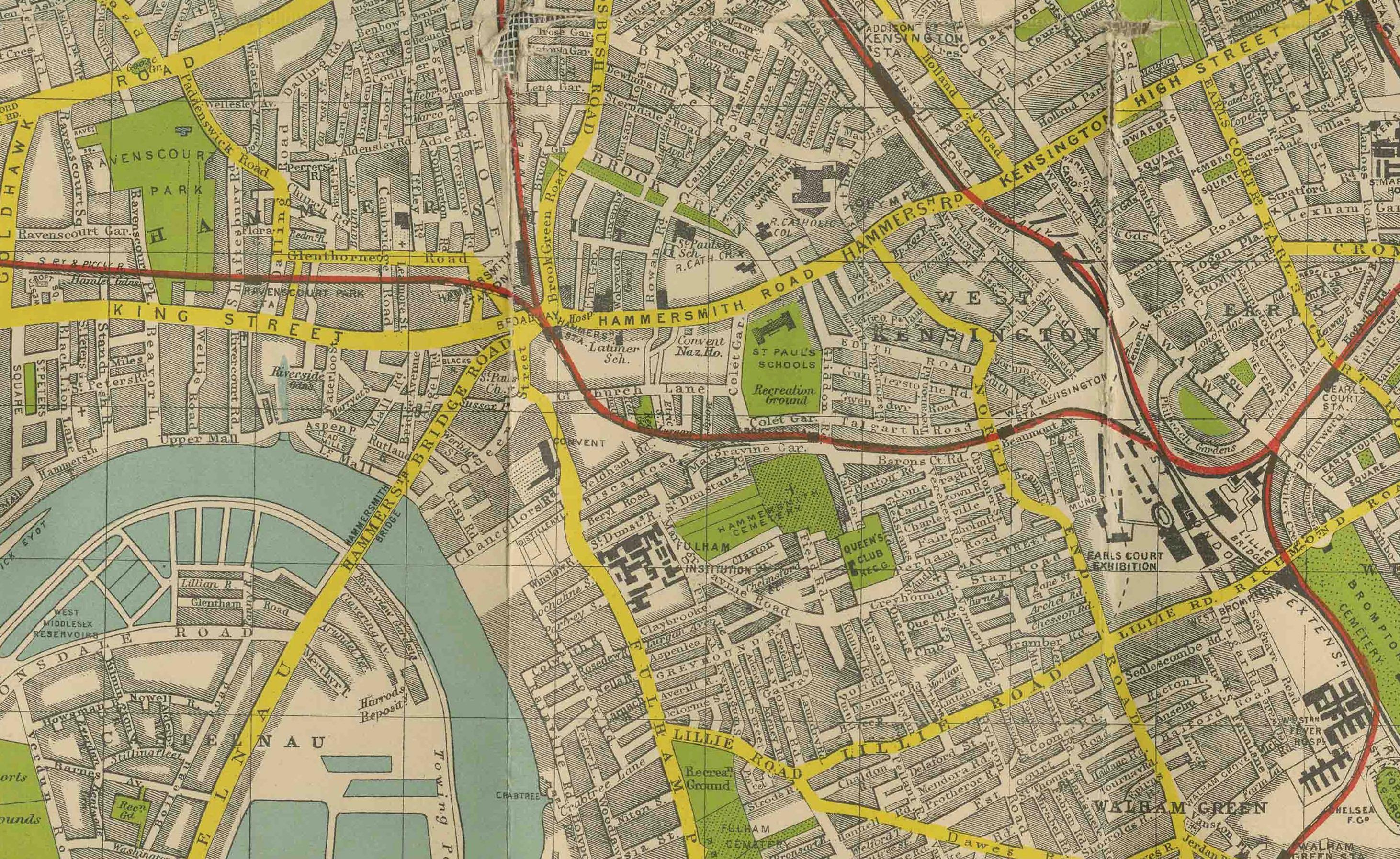
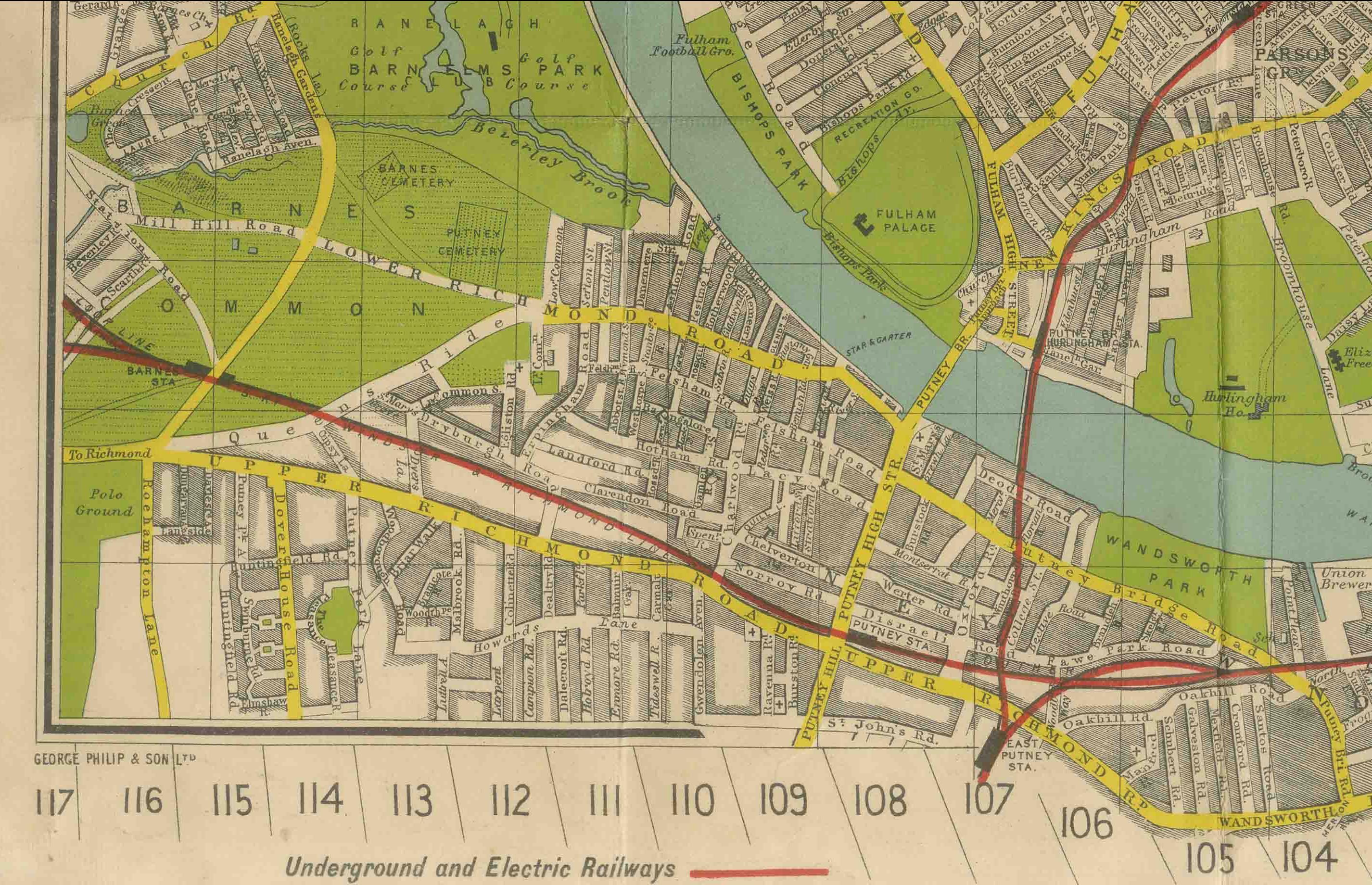
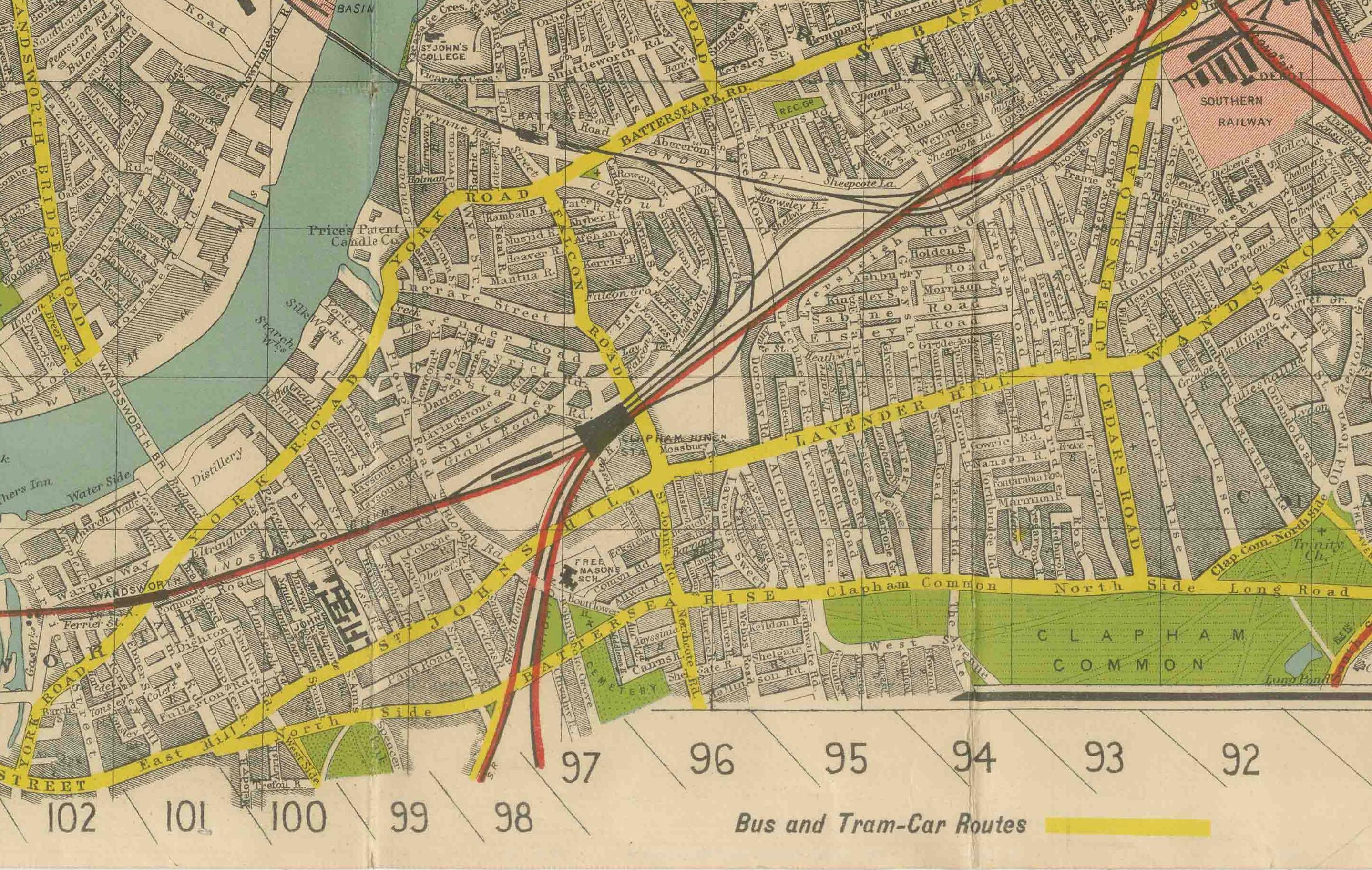
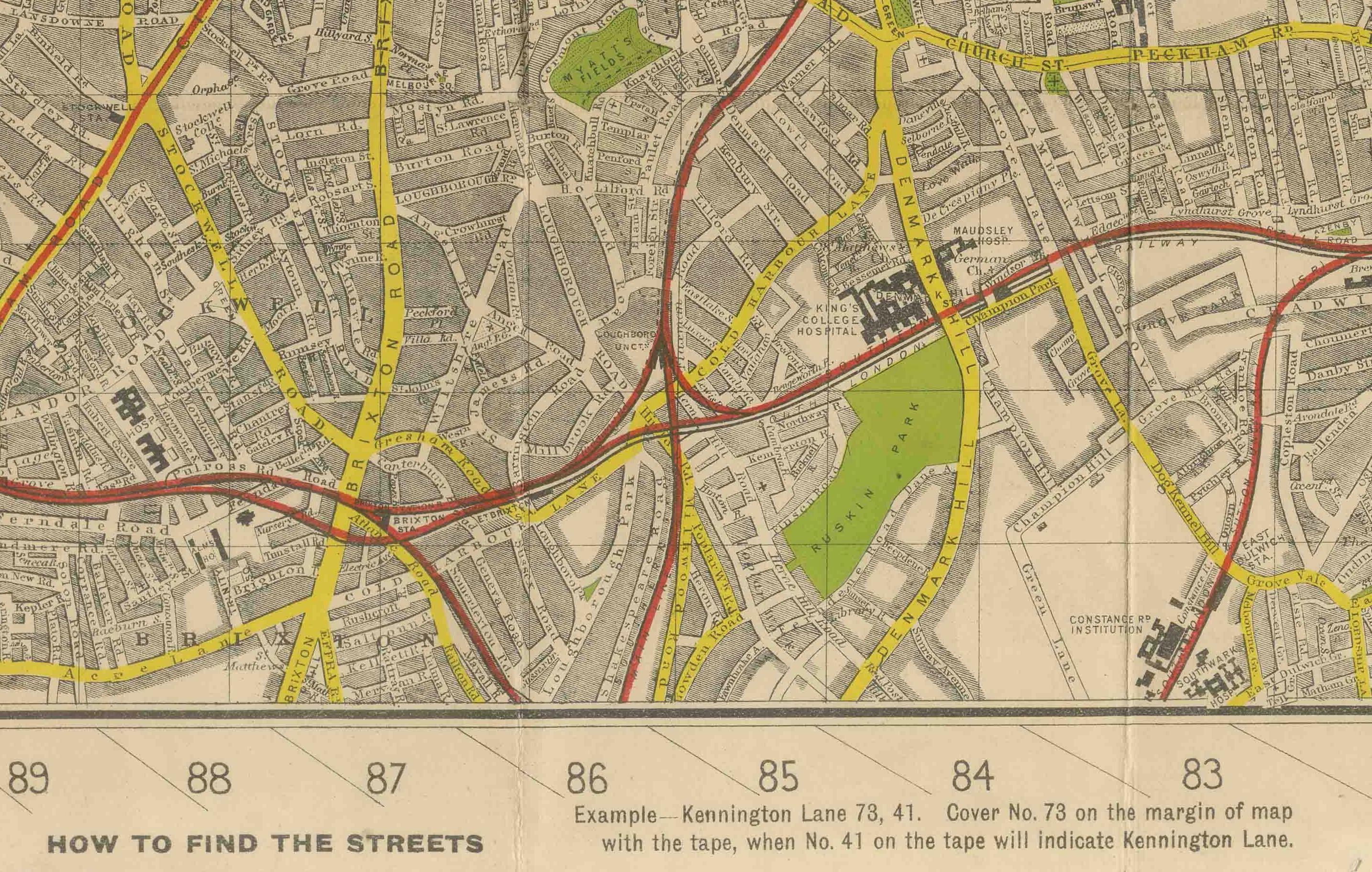
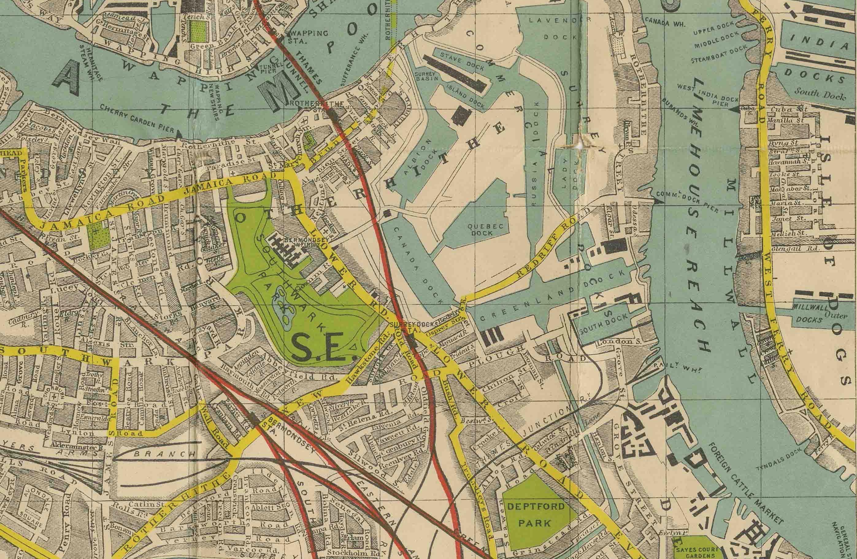
This large and detailed map of central London is titled “Phillips’ Tape Indicator Map of London.” It was published by George Philip & Son, London and Liverpool, around 1930. This type of map was designed as a practical tool for finding streets quickly in the dense urban sprawl of the capital.
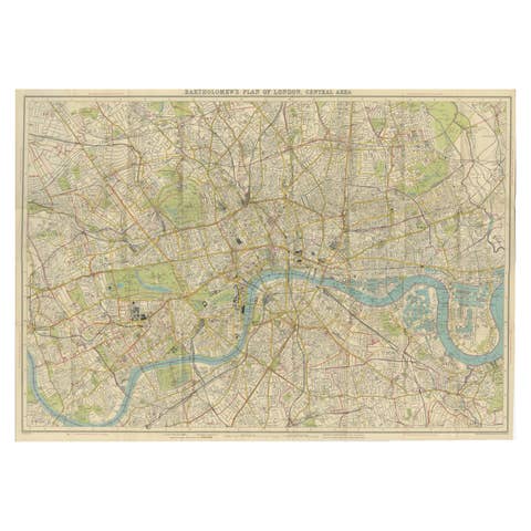
The map covers a wide area of central London, stretching from Hammersmith and Shepherd’s Bush in the west across to Greenwich and the Isle of Dogs in the east, and from Hampstead and Camden in the north down to Clapham and Peckham in the south. The River Thames winds prominently through the center, with its characteristic loops and docks carefully drawn.
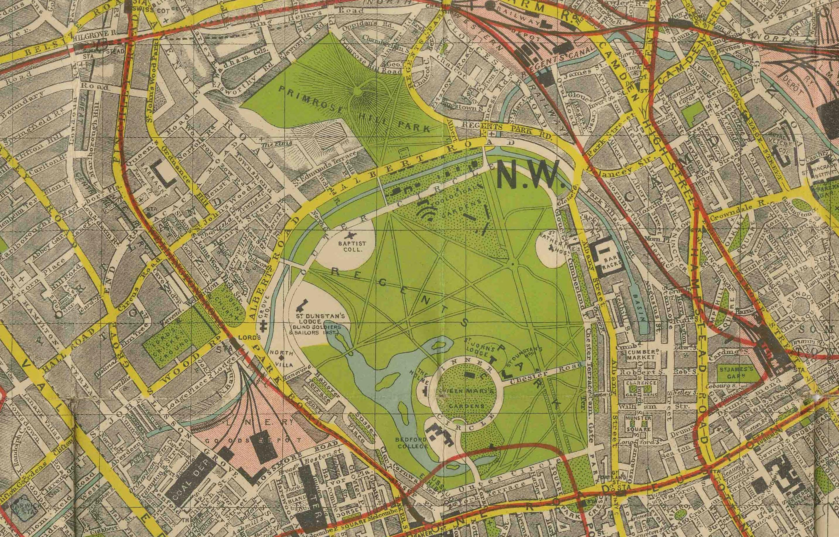
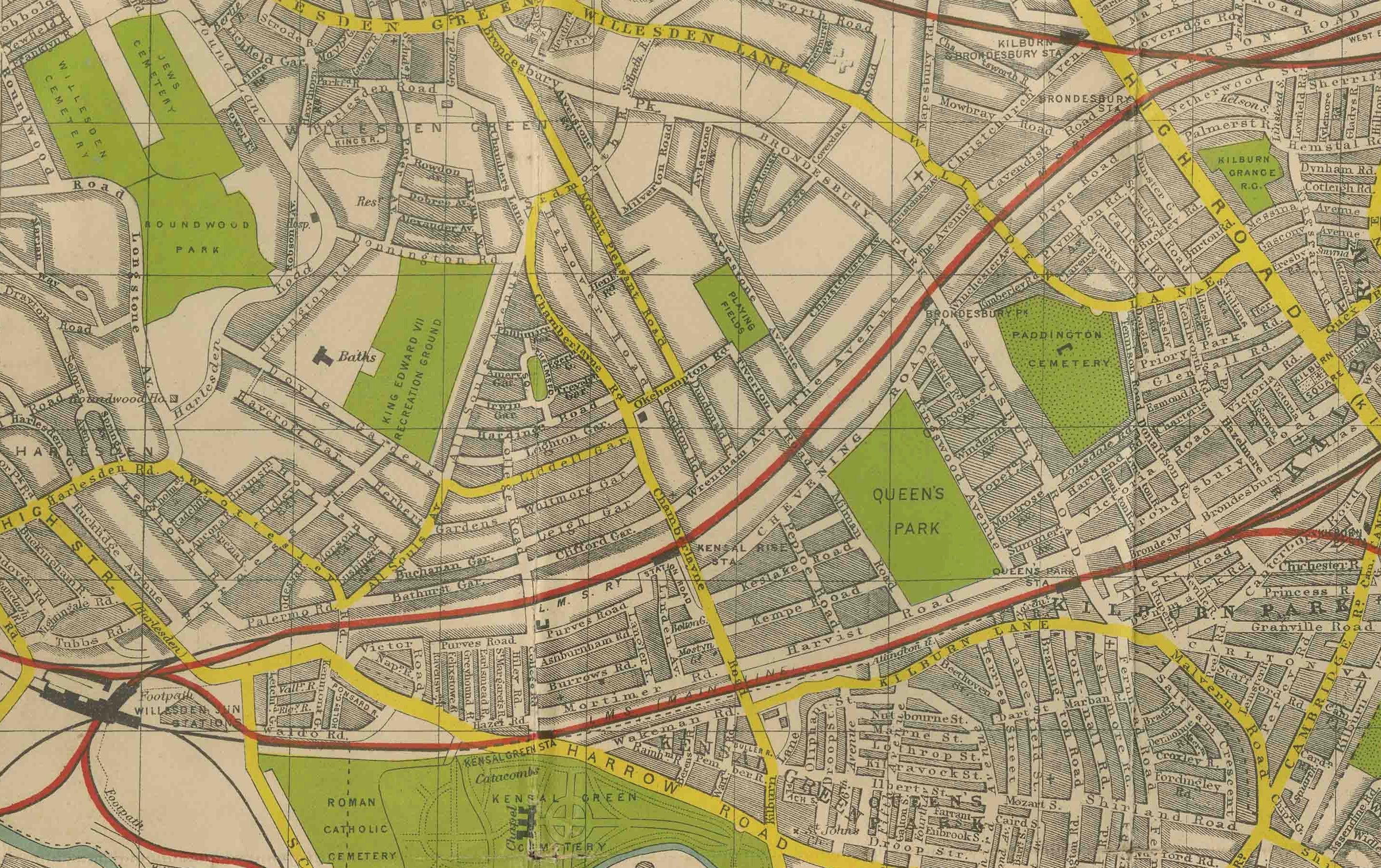
Parks are highlighted in green, including Hyde Park, Kensington Gardens, Regent’s Park, Battersea Park, and Greenwich Park, while main roads are printed in bold yellow and red for easy navigation. Districts are labeled with their postal codes (W, NW, SE, etc.), and major railway lines and stations are clearly marked.
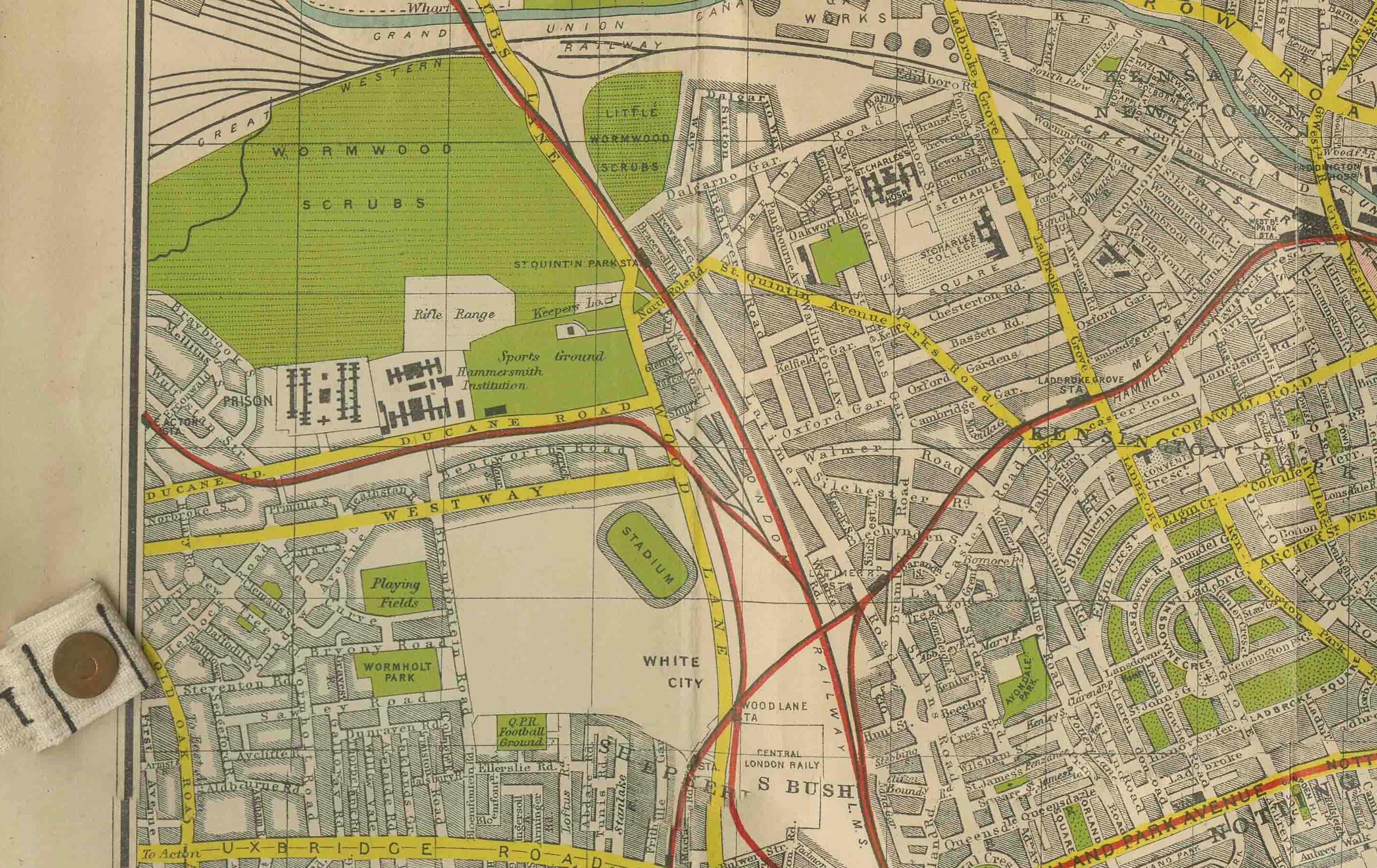
The “Tape Indicator” system referred to a mechanical device attached to the map in its original housing that allowed users to locate any street by pulling a numbered tape across the map, corresponding with an index. Although many surviving examples are now separated from their original box or device, the maps themselves remain highly decorative and valuable records of interwar London.
This example captures the city during a period of great change, between the expansion of suburban railways and underground lines and before the devastation of the Second World War.
Condition: Very good. Original color printing with only minor signs of wear along folds and margins. Strong paper with clear, bright impressions. Some traces of original attachment to the indicator mechanism present at the margins.
Framing tips: This large-format city plan makes an impressive wall display. A simple black or dark wood frame with a neutral mat will highlight the map’s strong graphic design, while float-mounting could showcase the full sheet and marginal details.
Technique: Lithograph with original printed color
Maker: George Philip & Son, London & Liverpool, c.1930
Collector’s note: George Philip & Son was one of the leading British map publishers of the 19th and 20th centuries. Their “Tape Indicator Maps” of London were innovative reference tools that combined precision cartography with a mechanical street-finding system, making them popular with travelers, businesses, and institutions. Today, these maps are prized for their visual impact and as historical documents of London between the wars.