
Maps & PrintsBartele Gallery · Langweer
Home / Antique Maps / Europe / Western Europe / United Kingdom & Ireland

United Kingdom & Ireland

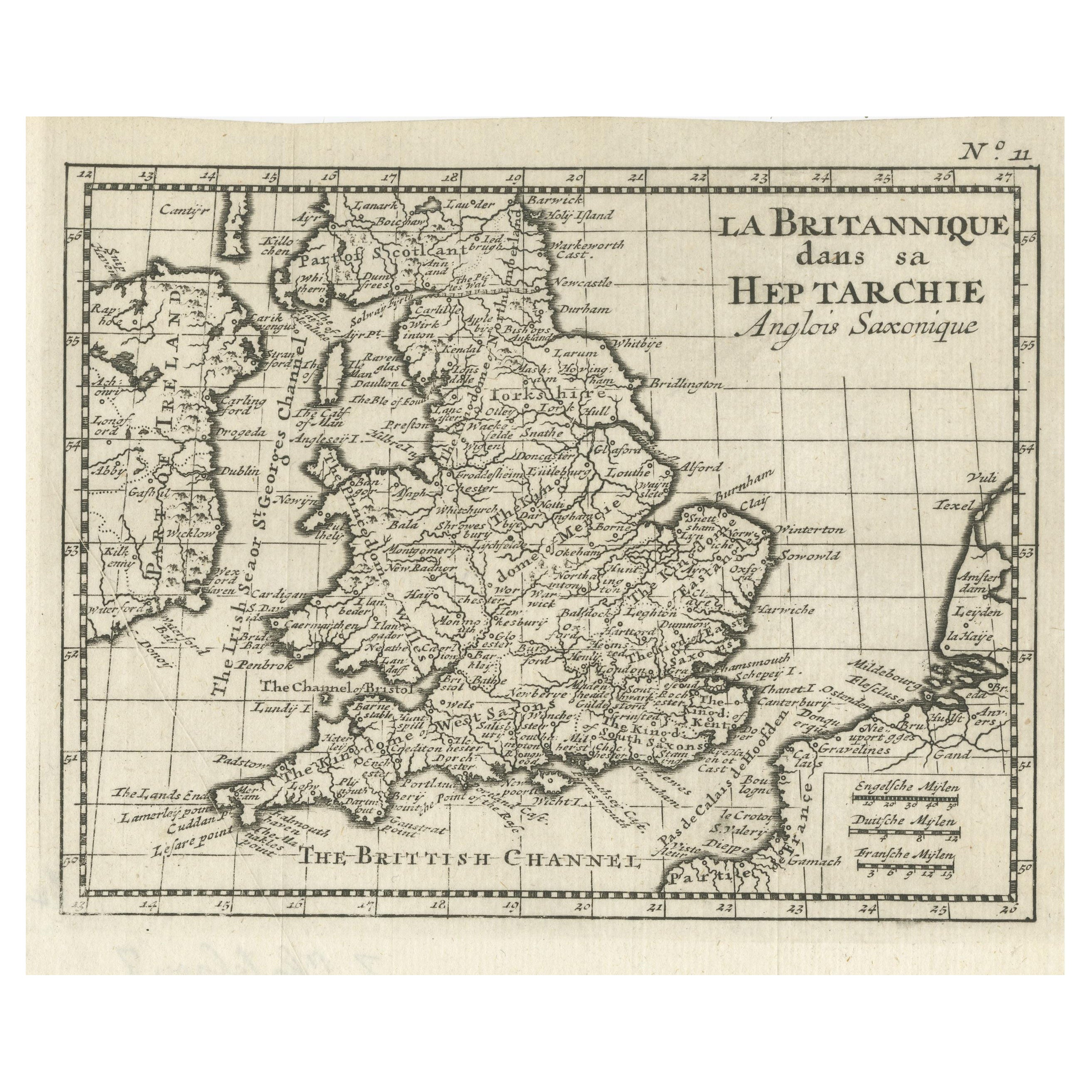
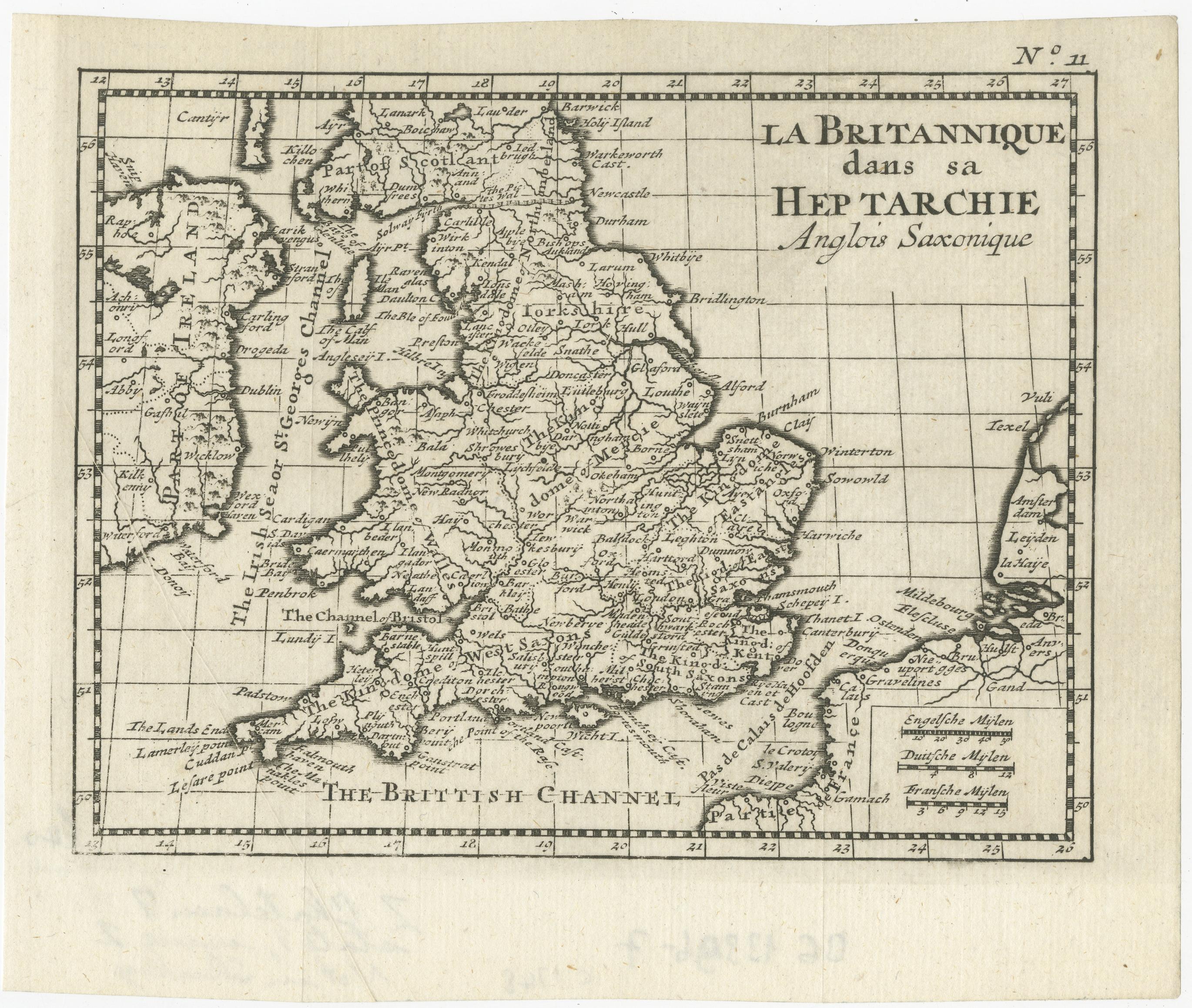
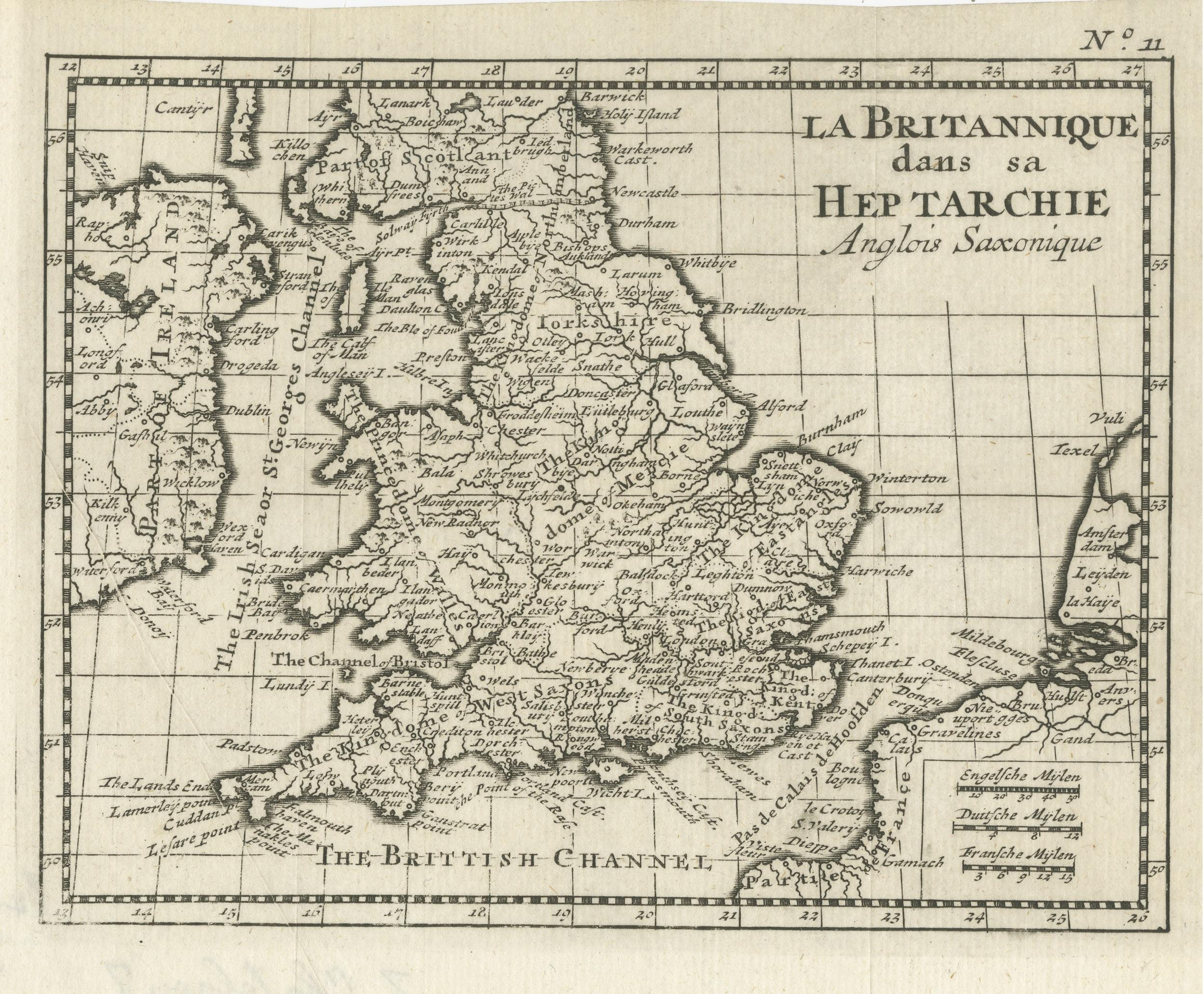
Small Antique Map of England and Wales as It Was During the Heptarchy

€ 290

One of a kind: this is the sheet in the photographs. Ships from Langweer, the Netherlands.

Sheet size
15.8 × 19.1 cm (6.2 × 7.5 in)
Condition
Good
Reference
BG-13396-7

Condition

General age-related toning. Original folding line. Minor wear, blank verso. Please study image carefully.
About this sheet

Antique map titled 'La Britannique dans sa Heptarchie Anglois Saxonique'. This little map shows England and Wales as it was during the Heptarchy, a phrase referring to the seven kingdoms that arose after the departure of the Romans, from 500-850 AD. It is based on Sanson's pocket atlas map and includes a considerable amount of information for such a small map. Published circa 1748.

More from United Kingdom & Ireland

Ask about this sheet

Small Antique Map of England and Wales as It Was During the Heptarchy
Ref. BG-13396-7 · € 290
We reply by email, usually within one working day.