About this sheet
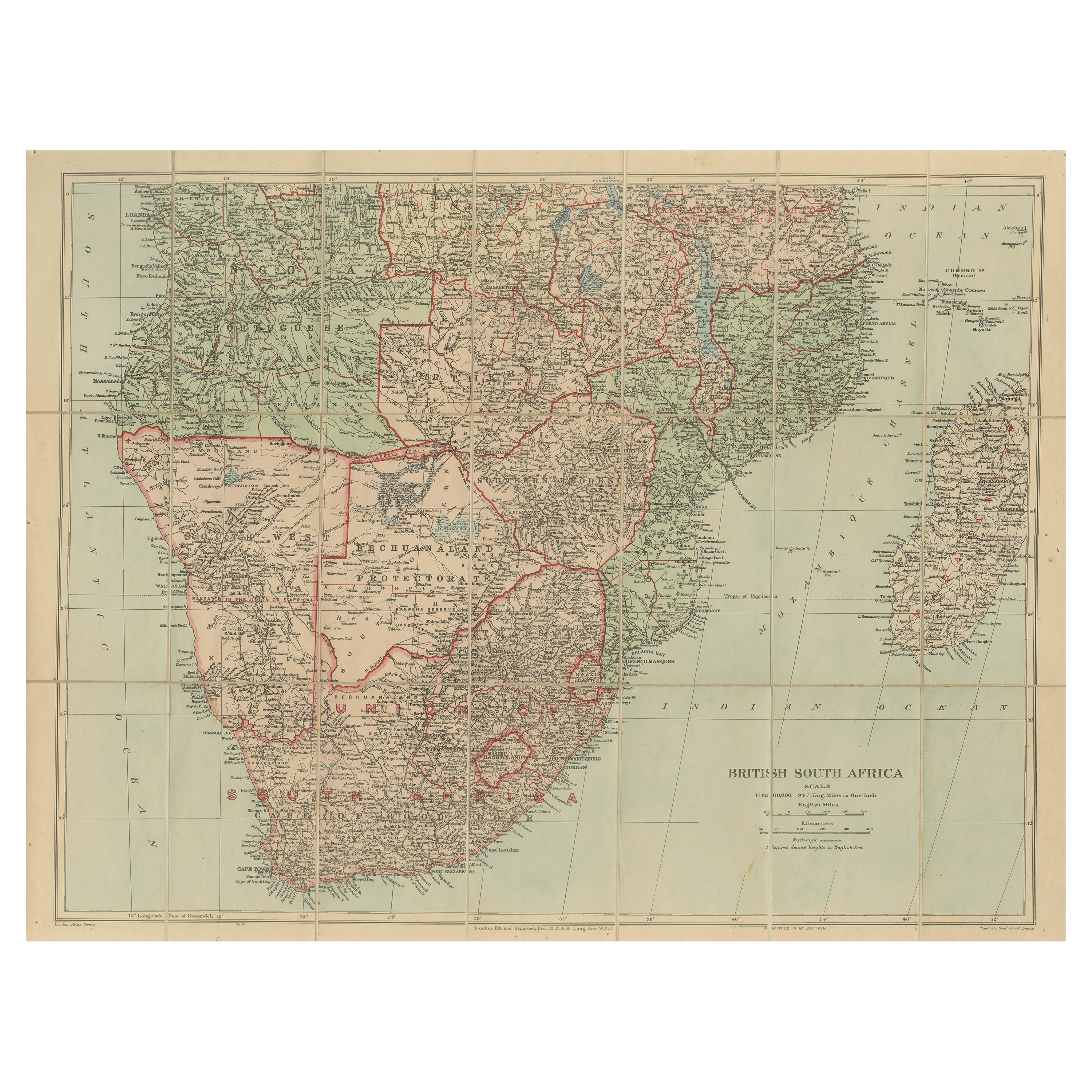

Antique Map of British South Africa – Colonial Territories & Railways, c.1920s
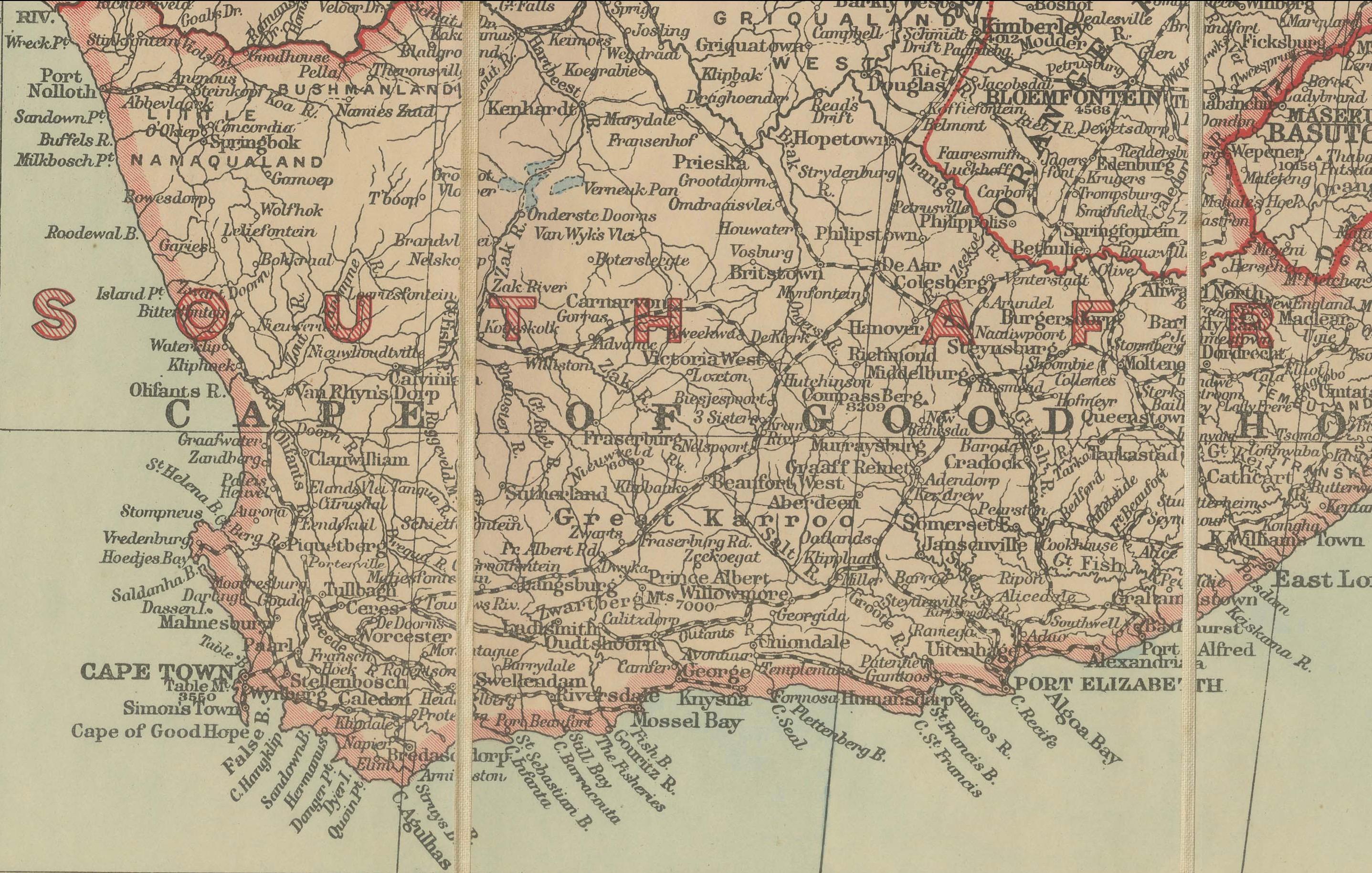
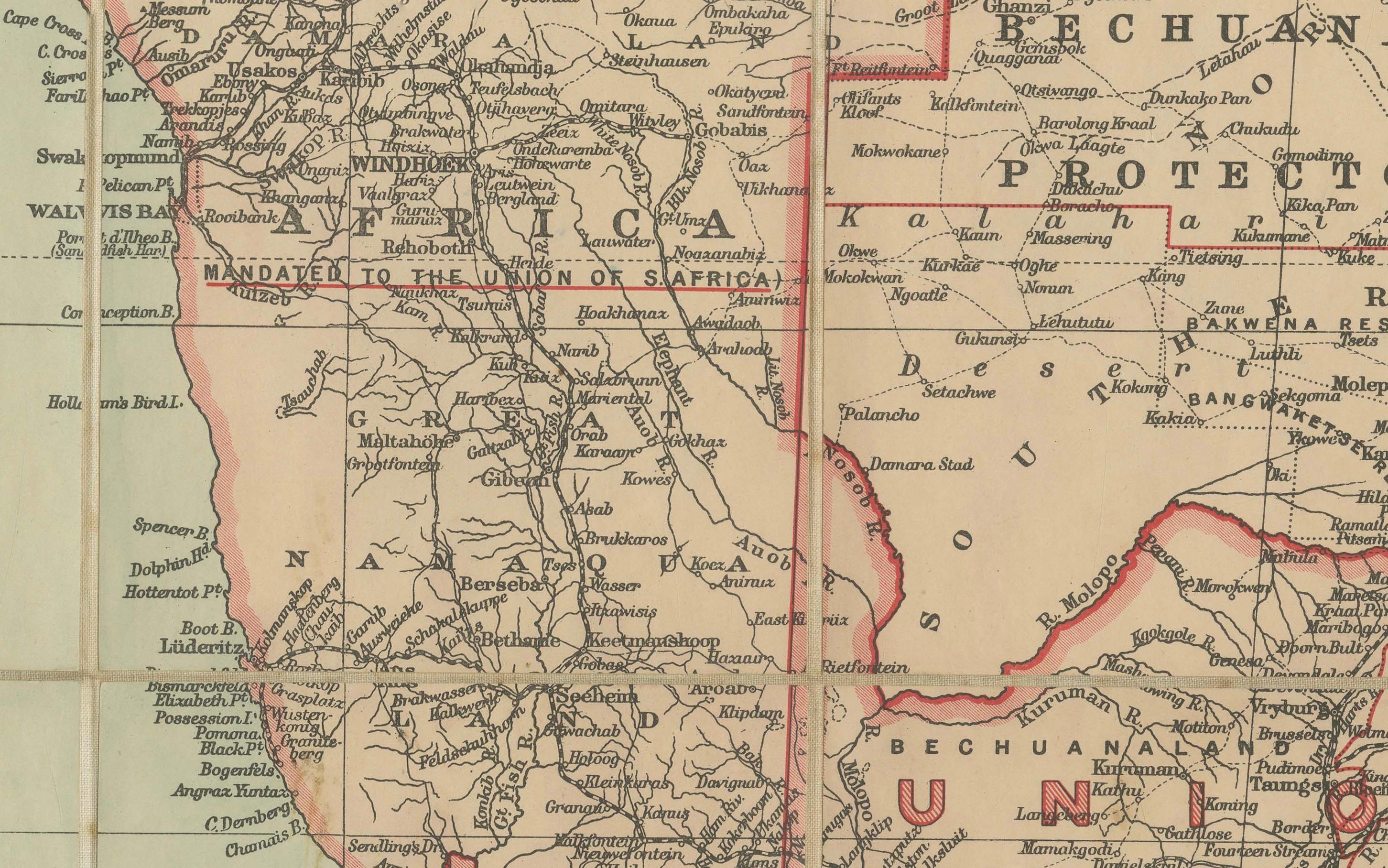
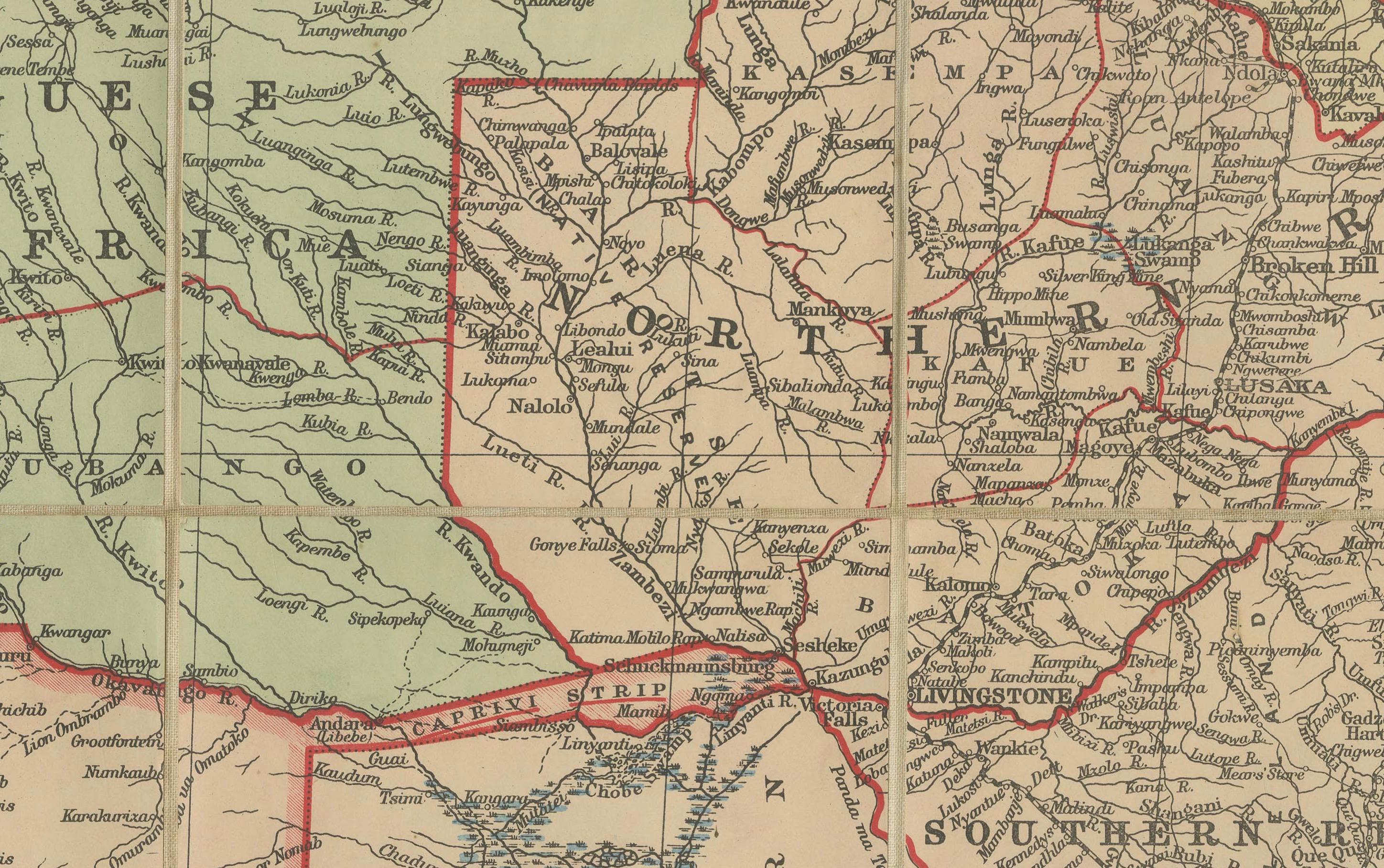
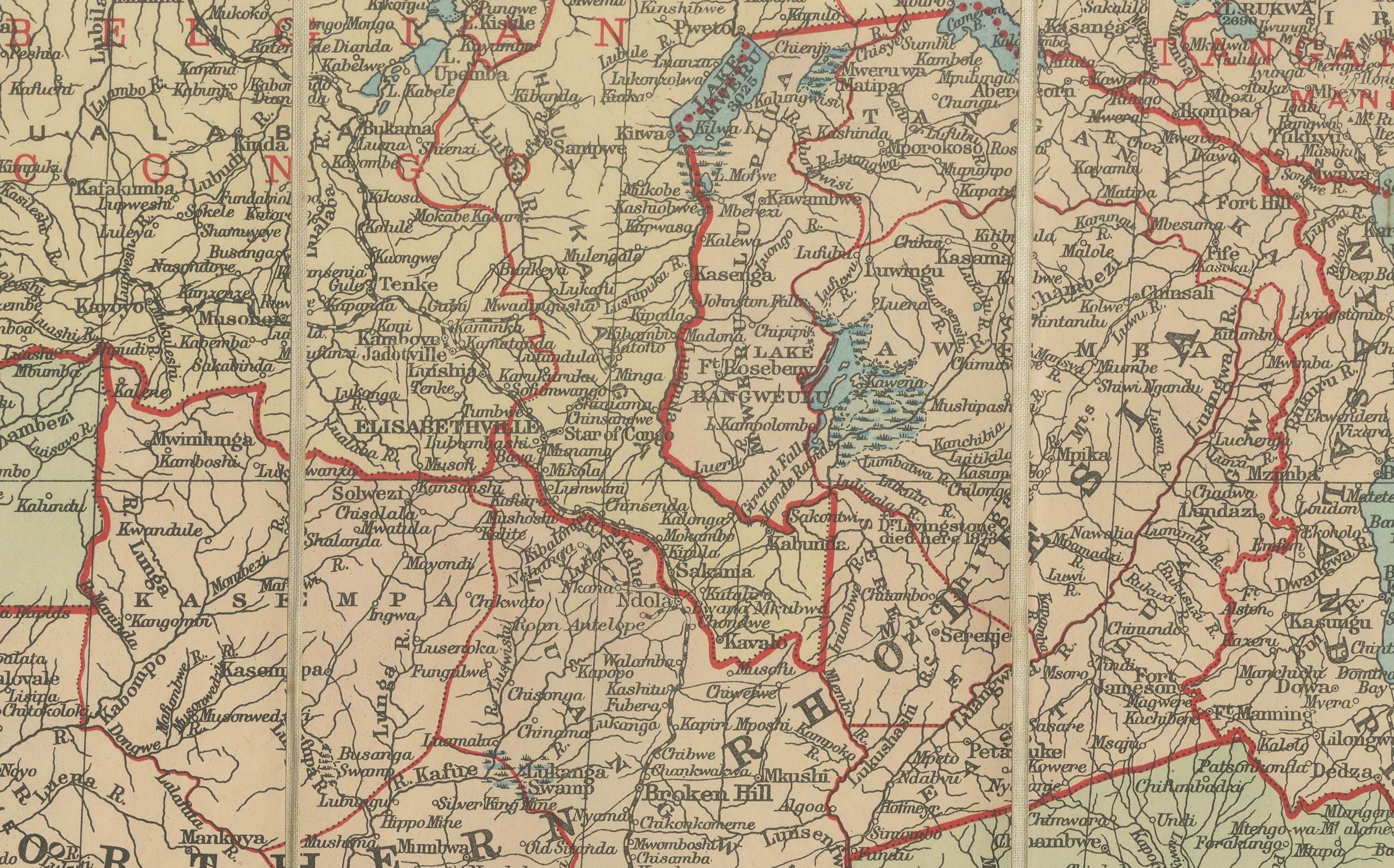
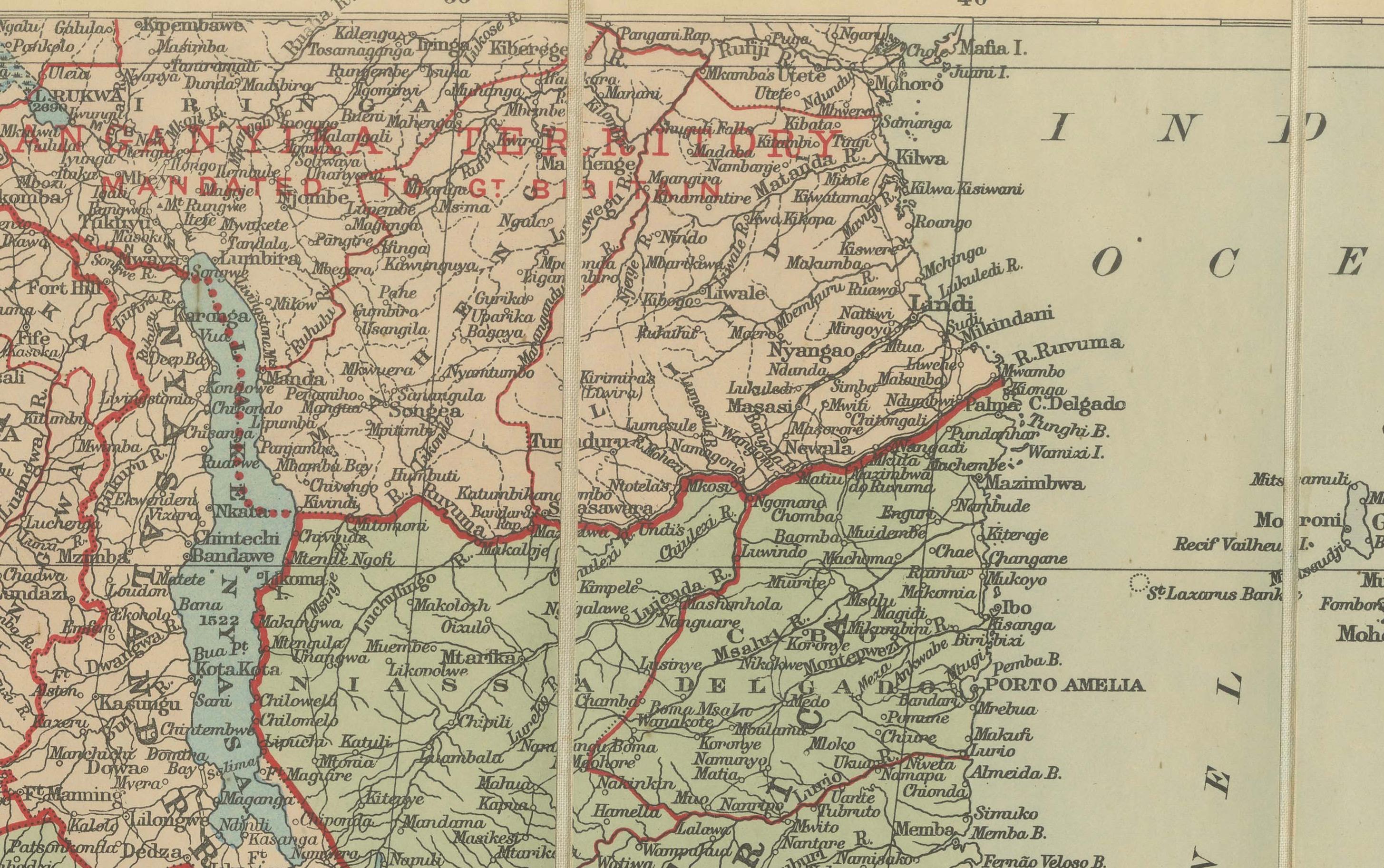
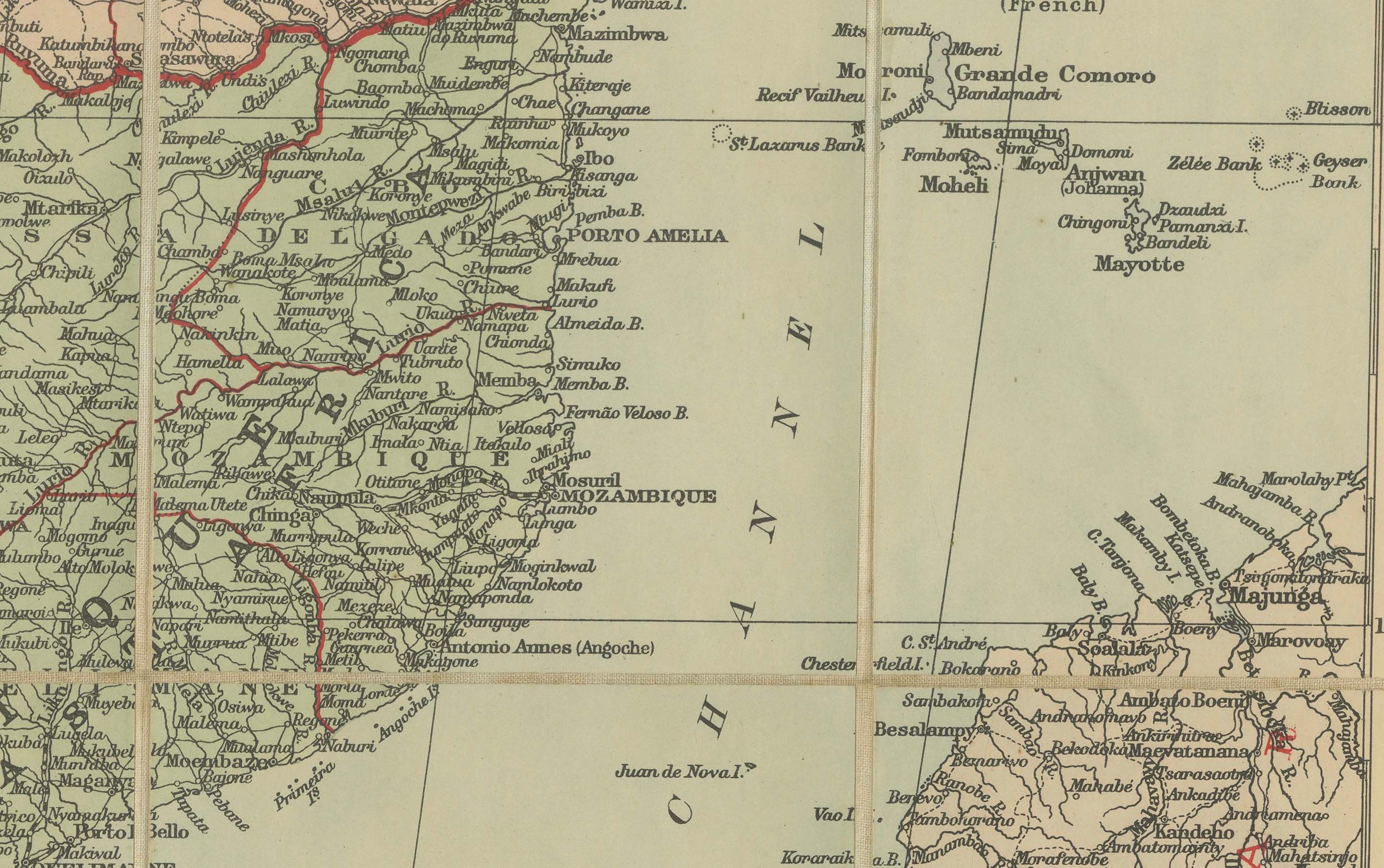
This large and detailed folding map depicts British South Africa during the early 20th century, showing the extent of British colonial territories and protectorates alongside neighbouring regions. The map covers the Union of South Africa, Bechuanaland Protectorate, Southern and Northern Rhodesia, Nyasaland, and British-administered areas of East Africa, as well as surrounding territories such as Portuguese East Africa (Mozambique), Angola, German South West Africa (marked as mandated to the Union of South Africa), and Madagascar. Key geographic features, settlements, railways, rivers, and mountain ranges are meticulously rendered.
Prominent political boundaries are highlighted in red, illustrating the colonial divisions of the period. The railways, an essential feature of the map, trace the vital transport links that supported both administrative control and economic exploitation, connecting ports such as Cape Town, Port Elizabeth, Durban, and Lourenço Marques to the interior. Elevation figures in feet are noted in select locations, adding to the geographical detail. The inclusion of the Caprivi Strip, Victoria Falls, Lake Nyasa, and Lake Tanganyika shows the scope of British ambitions and influence across southern and central Africa.
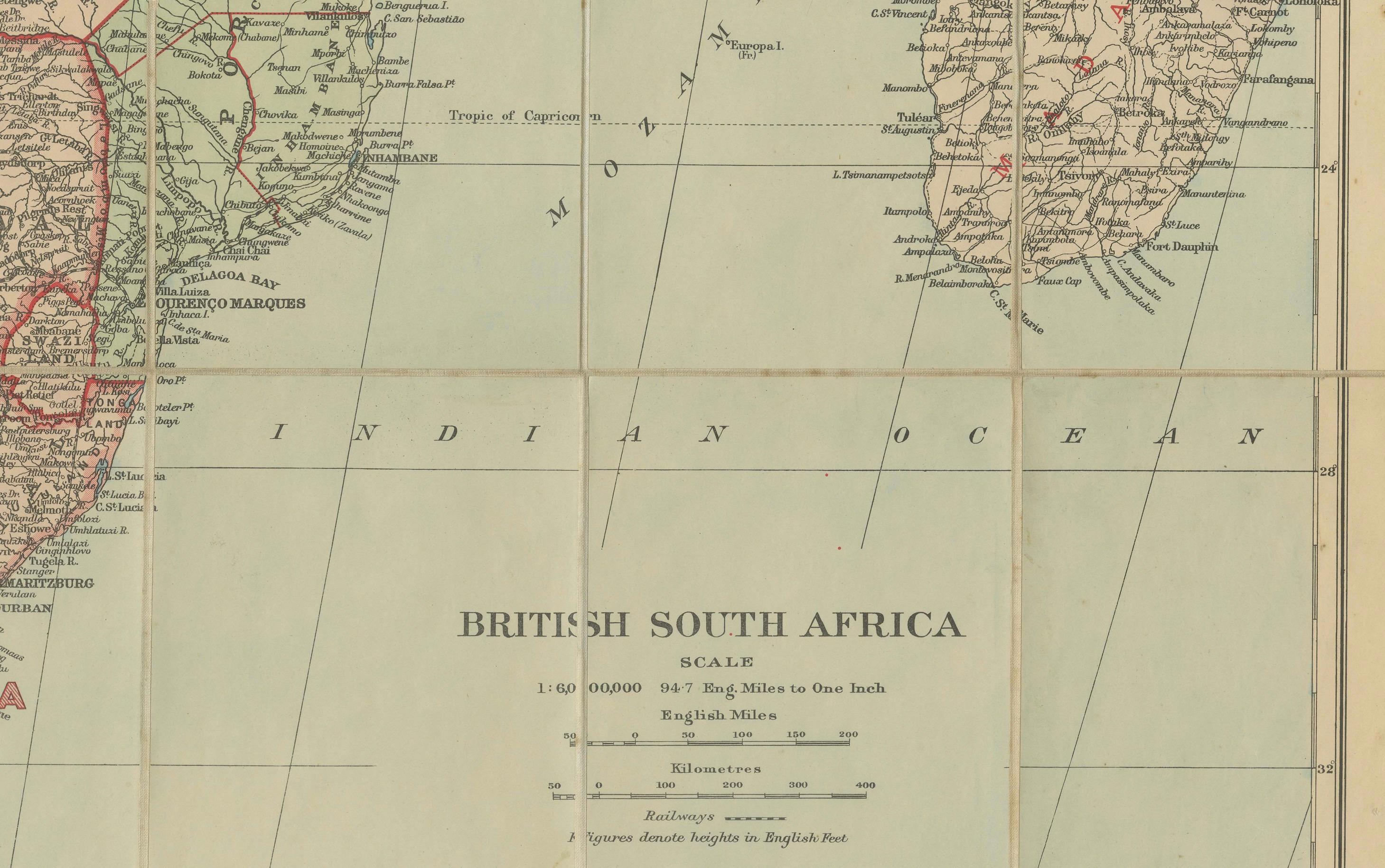
This map was printed using high-quality colour lithography, a common technique for atlas and folding maps of this era, allowing for precise line work and clear colour demarcations. The style, scale (1:6,000,000), and nomenclature strongly suggest a publication date in the interwar years, when the British Empire in Africa was at its height.
Condition summary: Very good overall for age. Light toning to paper, minor surface marks and faint handling creases from folding. No significant tears or repairs visible. Original colours remain clear and well-preserved. Paper retains good strength.
Framing tips: This map would present beautifully in a dark wood or black frame to contrast with the pale background, paired with an off-white or light cream mount to draw attention to the red boundary lines. For a more vintage look, consider a teak or mahogany frame with a slightly warm-toned mount to complement the map’s aged paper.
Technique: Colour lithograph
Maker: Unknown, British, c.1920s