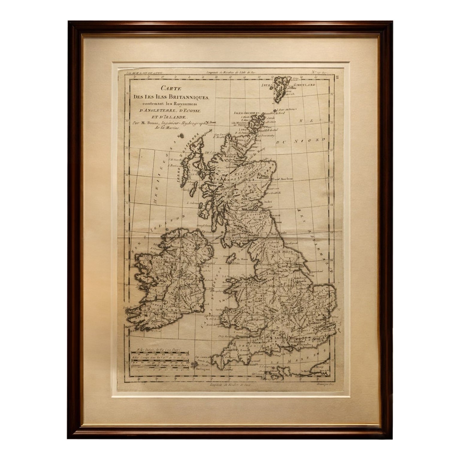
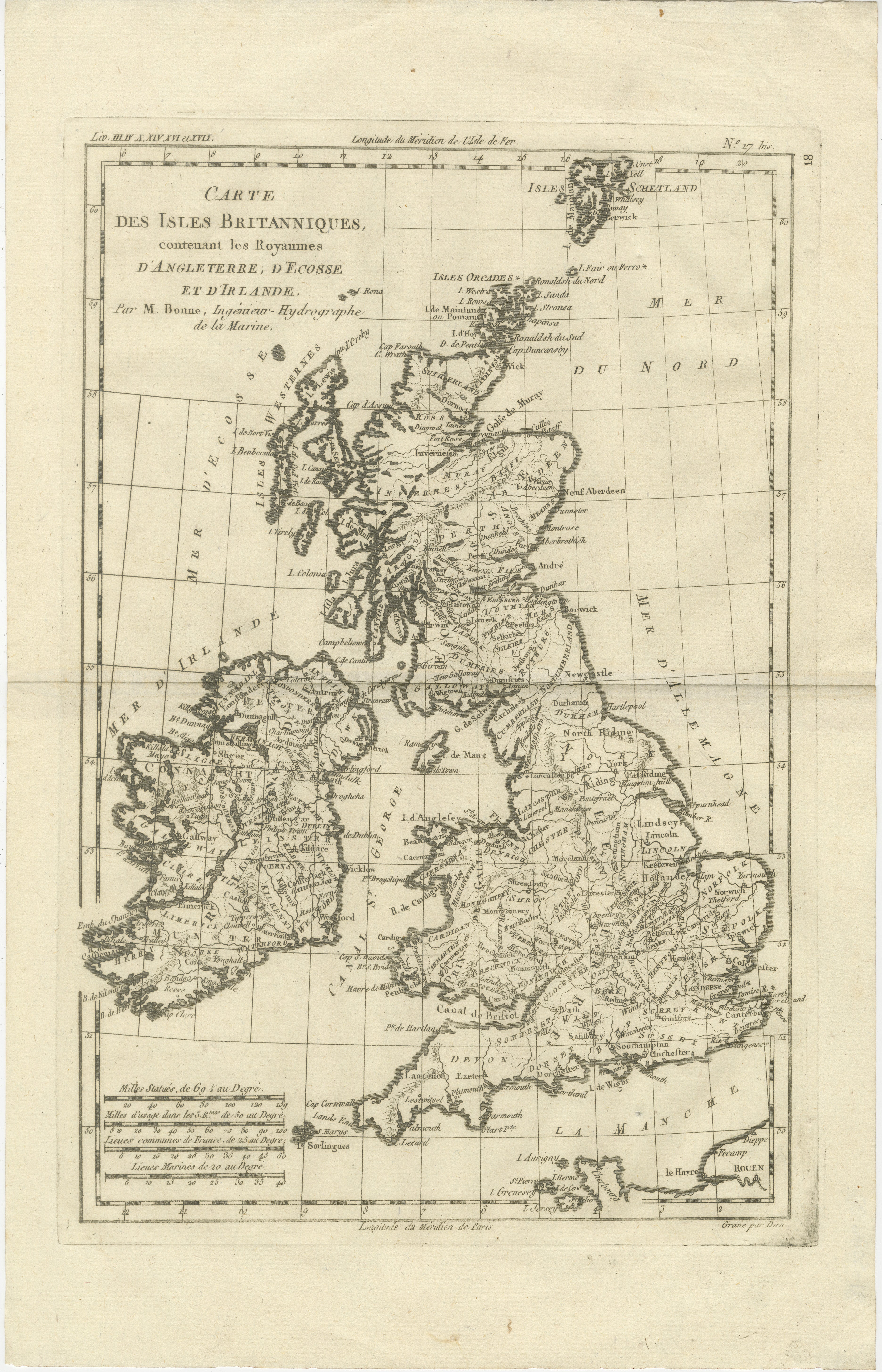
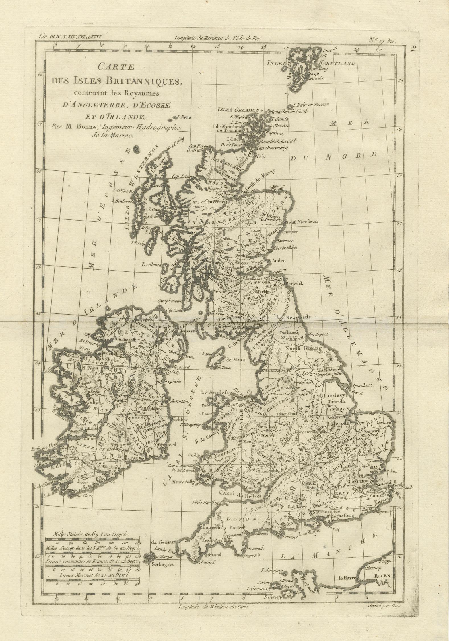
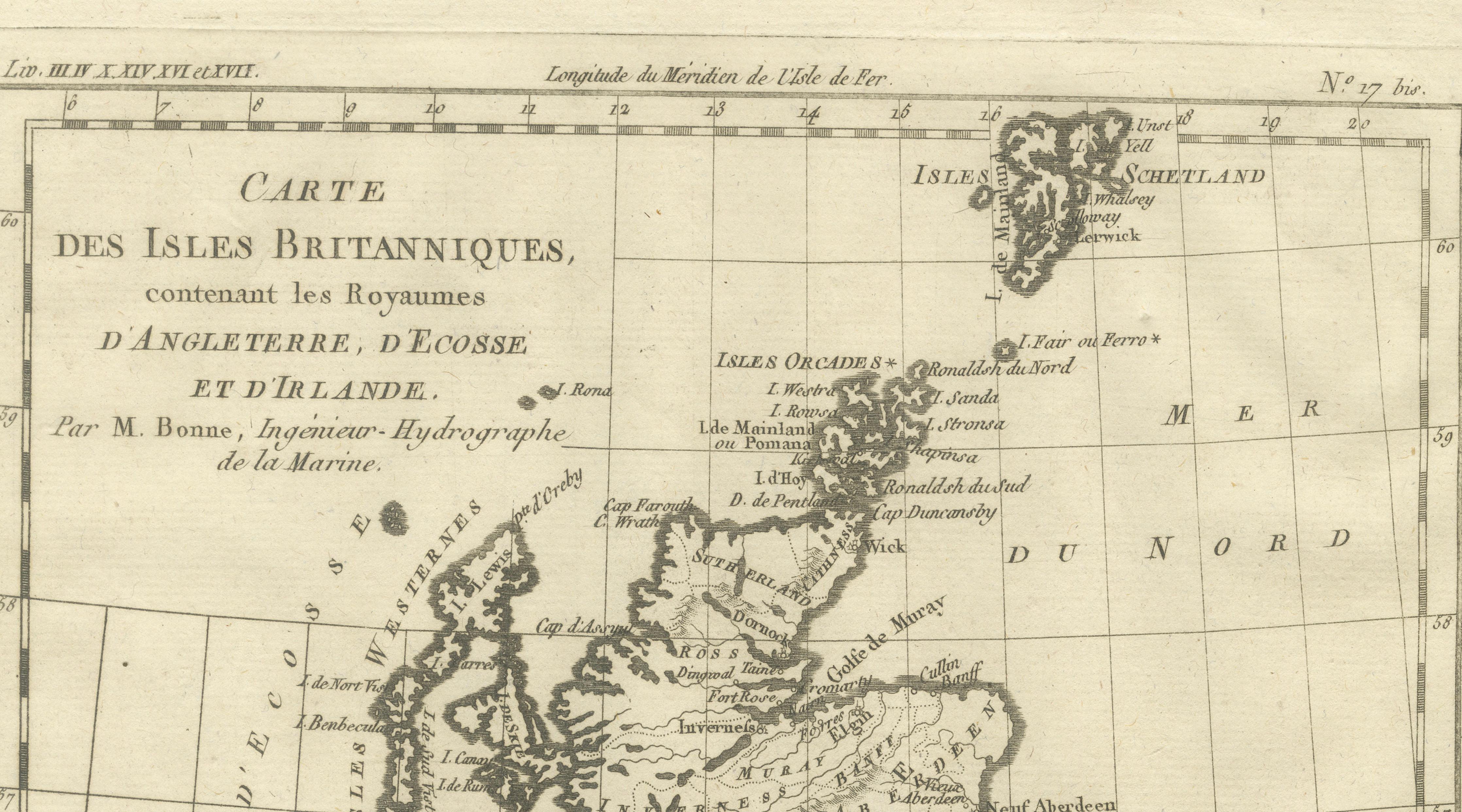
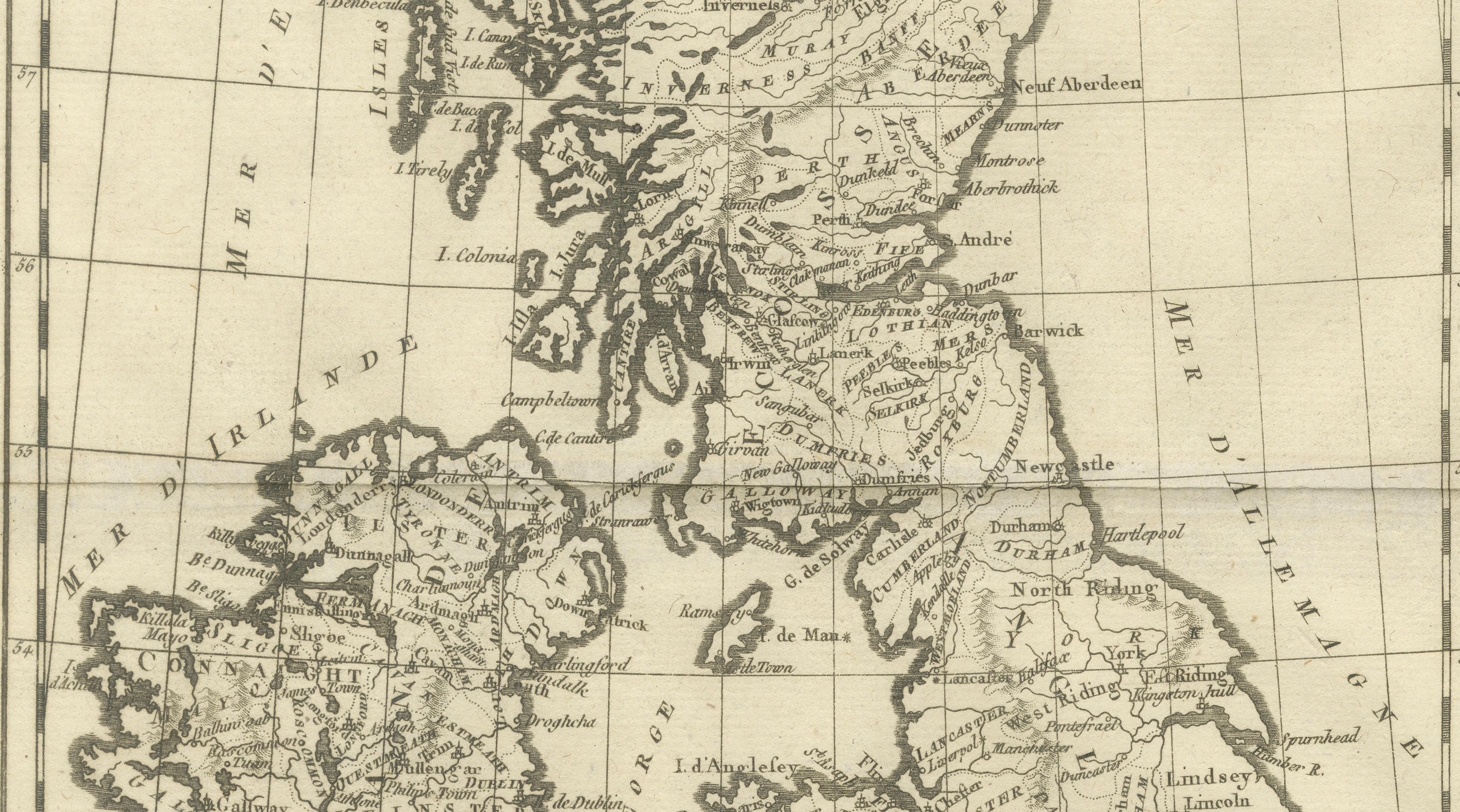
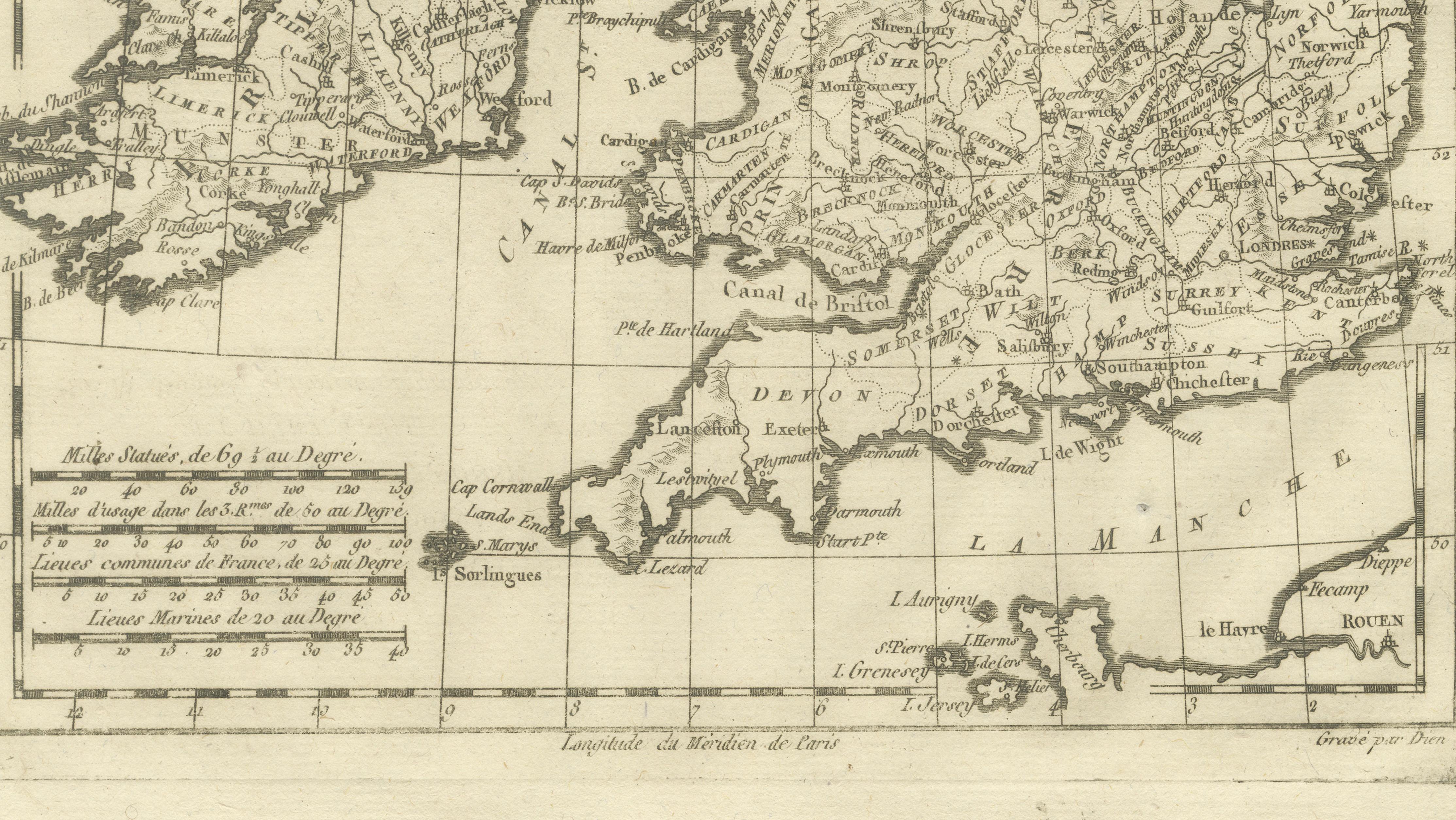
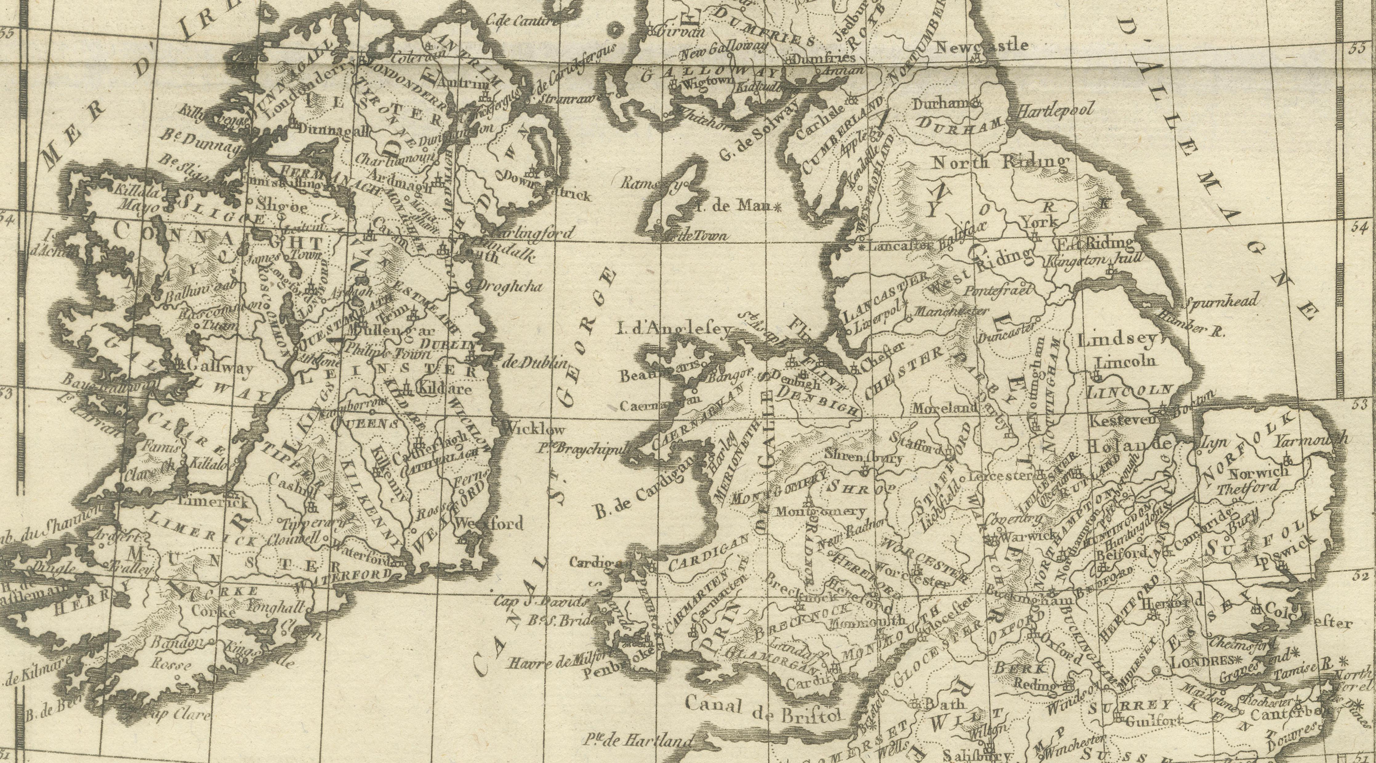
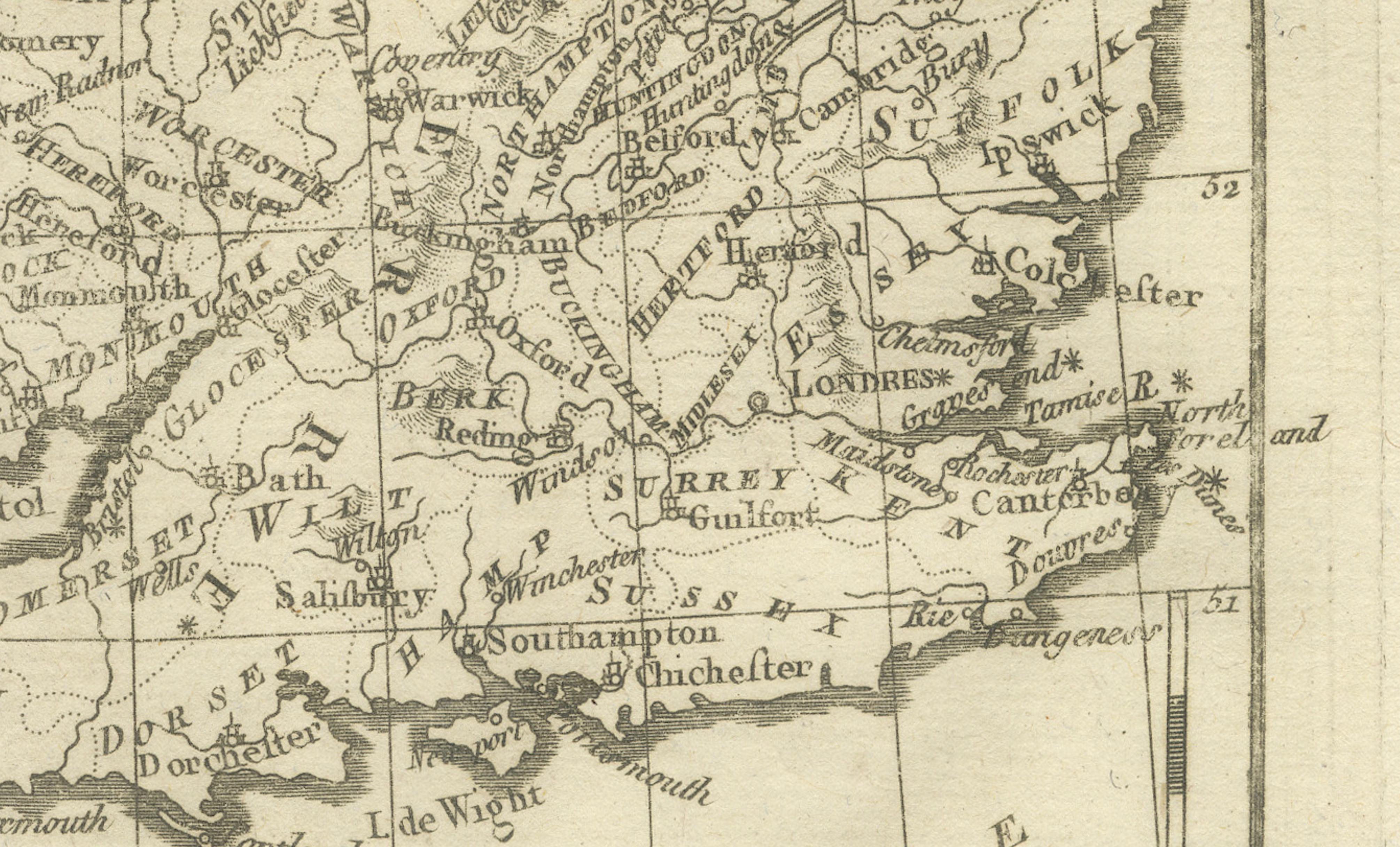
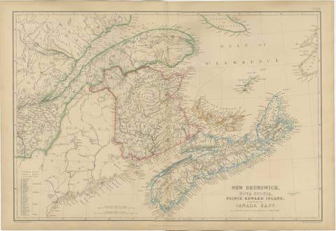
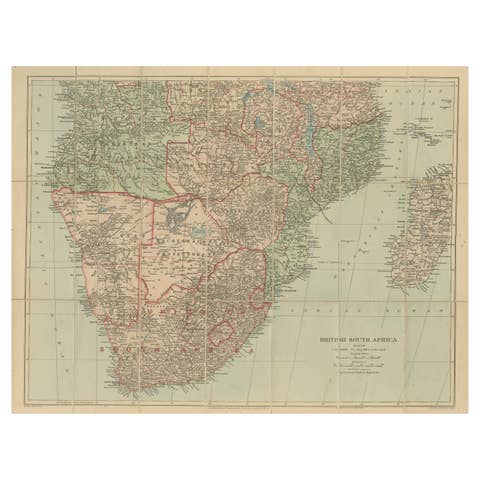
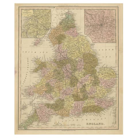
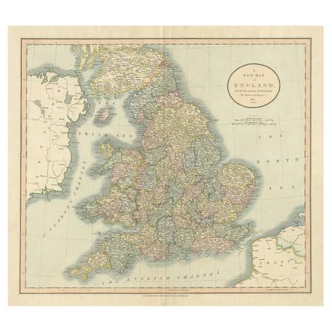
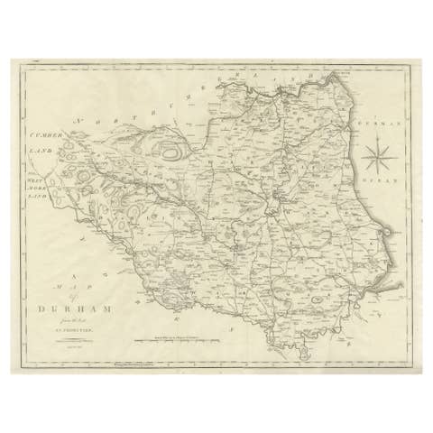
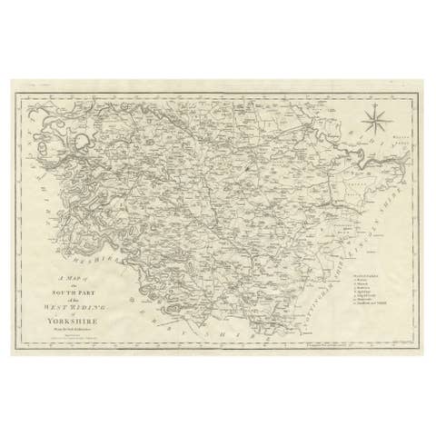
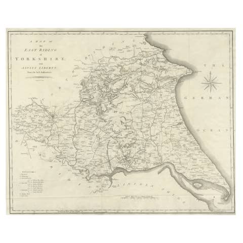
One of a kind: this is the sheet in the photographs. Ships from Langweer, the Netherlands.
Sheet size
41 × 26 cm (16.1 × 10.2 in)
Condition
Good
Reference
BG-14105-18
Condition
Very good antique condition. Light age toning, original fold, clean margins. The map is offered unframed, preserving the sheet in its original, untouched state.
About this sheet
British Isles – England, Scotland & Ireland Map, Bonne c1780 This elegant map depicts England, Scotland, and Ireland with remarkable detail, showing counties, rivers, and coastal features. Produced by Rigobert Bonne, it reflects late-18th-century French geographic scholarship and political interest in the British Isles. The engraving is crisp and balanced, making it ideal for both collectors and interior display.
The map is offered unframed, preserving the sheet in its original, untouched state.
Condition: Good condition. Light toning, original centerfold, minor margin wear.
Framing tips: Dark brown or black frame with a wide cream mat enhances contrast.
Keywords: British Isles map, England Scotland Ireland, antique UK map, 18th century cartography, Rigobert Bonne
Technique: Copper engraving Maker: Rigobert Bonne, France, circa 1780