
Maps & PrintsBartele Gallery · Langweer
Home / Antique Maps / Europe / Western Europe / United Kingdom & Ireland

United Kingdom & Ireland

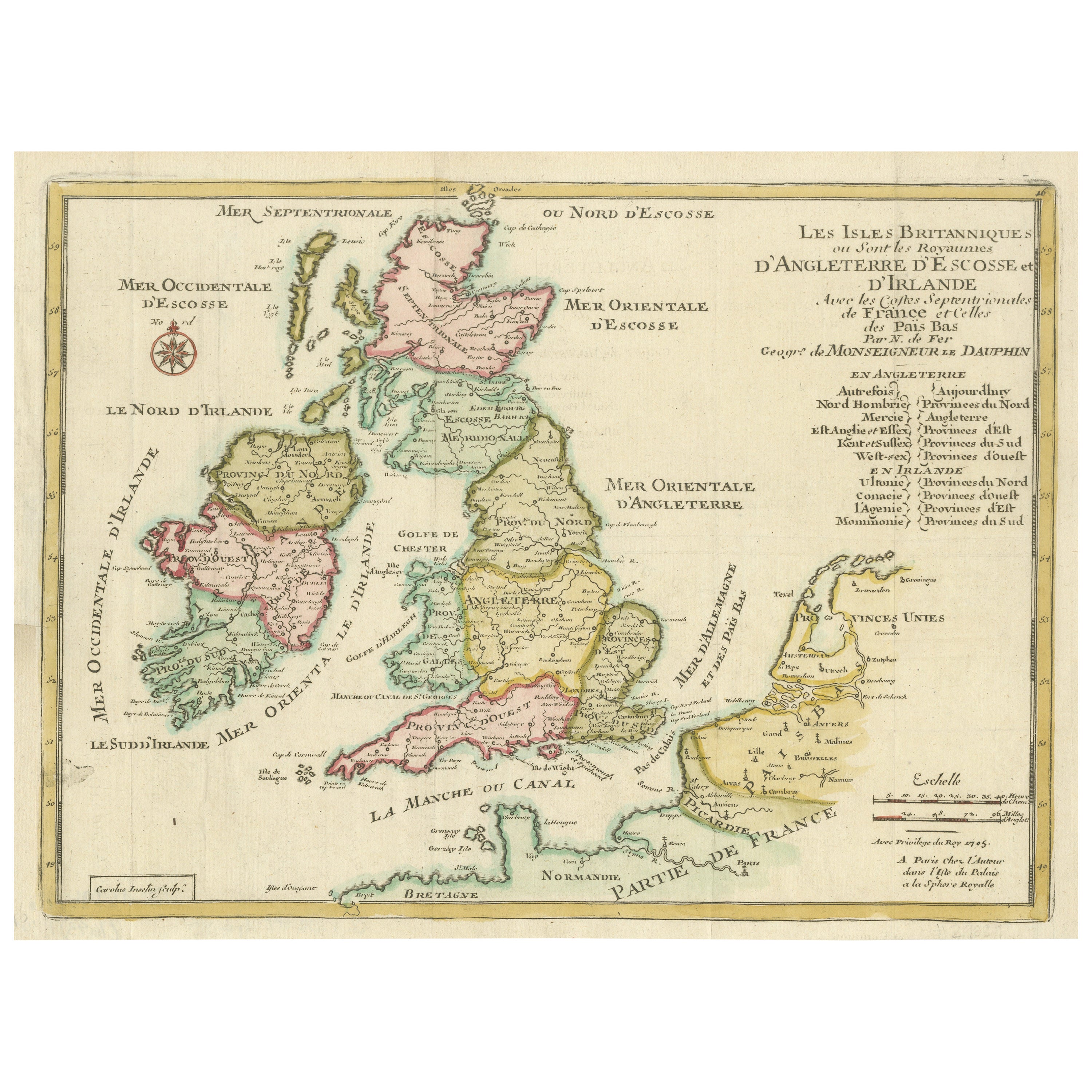
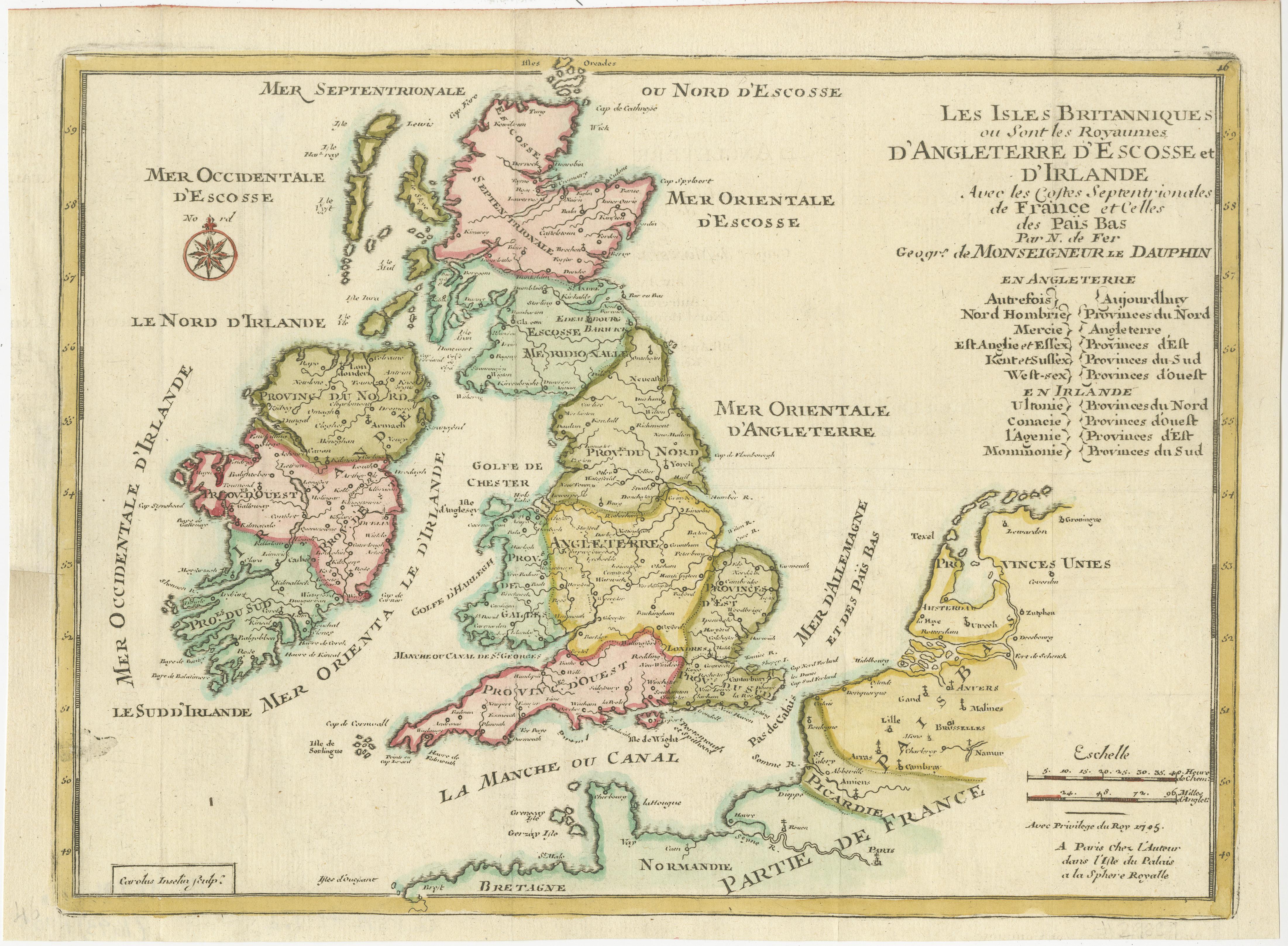
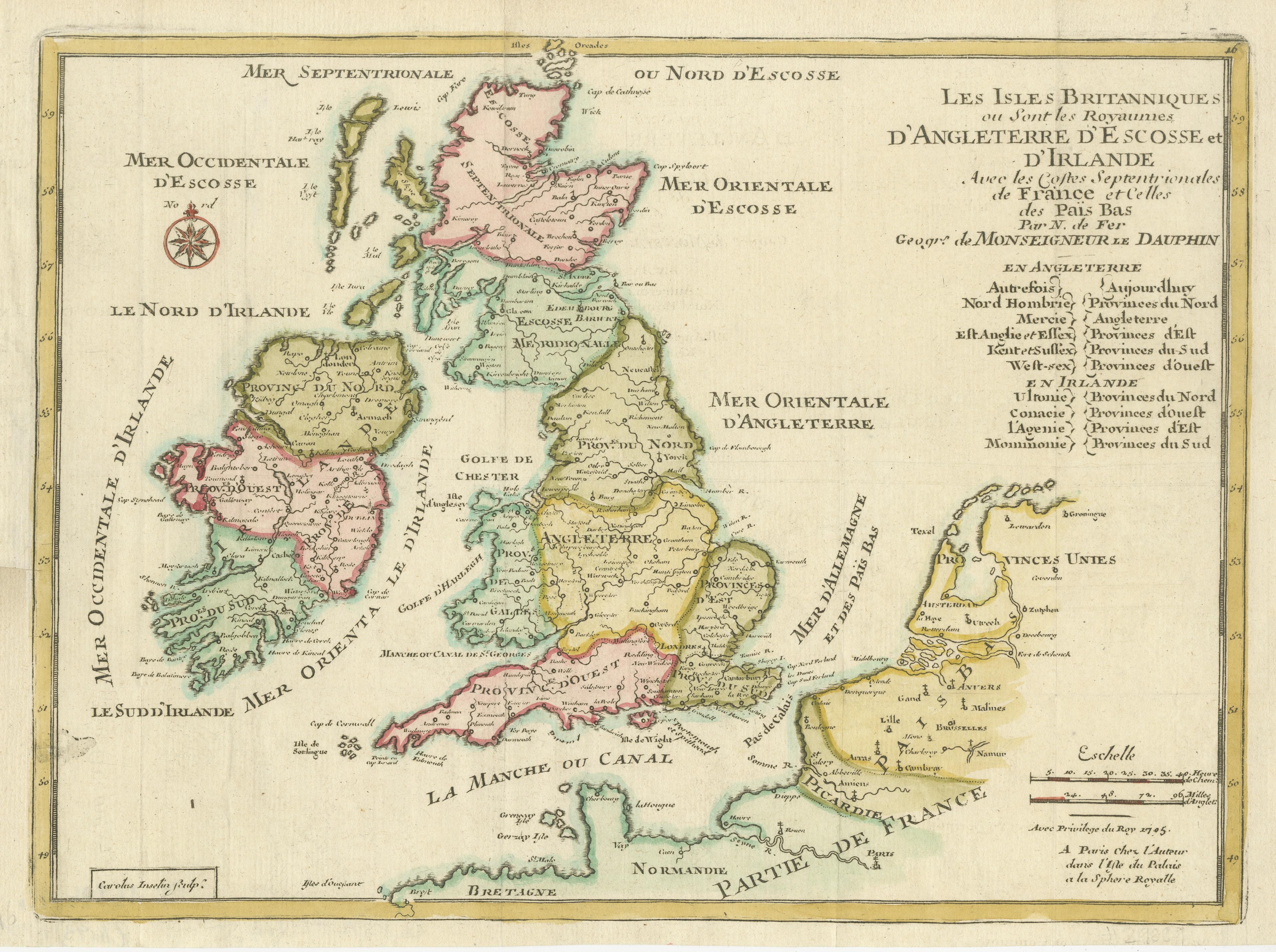
Original Antique Map of England, Ireland, Scotland and Wales

€ 290

One of a kind: this is the sheet in the photographs. Ships from Langweer, the Netherlands.

Sheet size
22.6 × 30.7 cm (8.9 × 12.1 in)
Condition
Good
Reference
BG-13396-16

Condition

Repaired: Narrow margins, left margin partly extended. General age-related toning. Narrow margins, left margin partly extended. Original folding lines. Minor wear and soiling, blank verso. Please study image carefully.
About this sheet

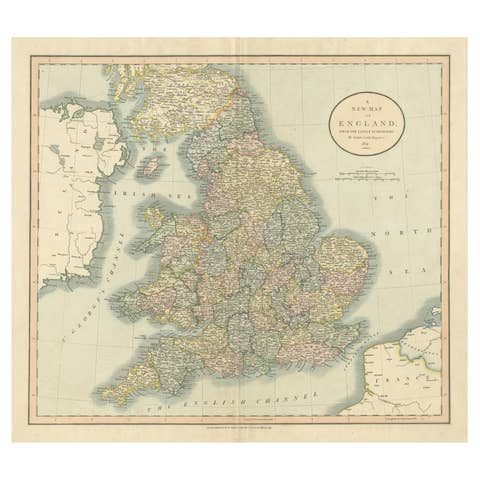
Antique map titled 'Les Isles Britanniques, ou sont les Royaumes d Angleterre (..)'. Detailed map of England, Ireland, Scotland and Wales, with French coast and part of the Netherlands. Shows political and administrative divisions, landmarks and place names. Includes index and compass rose. This map originates from 'Petit et Nouveau Atlas. A Paris : Chez le Sr de Fer dans l'Isle du Palms sur le quay de l'horloge a la Sphere royale avec privilege du Roy' by N. de Fer, 1705.

More from United Kingdom & Ireland

Ask about this sheet

Original Antique Map of England, Ireland, Scotland and Wales
Ref. BG-13396-16 · € 290
We reply by email, usually within one working day.