Maps & PrintsBartele Gallery · Langweer
Home / Antique Maps / Europe / Western Europe / United Kingdom & Ireland

United Kingdom & Ireland

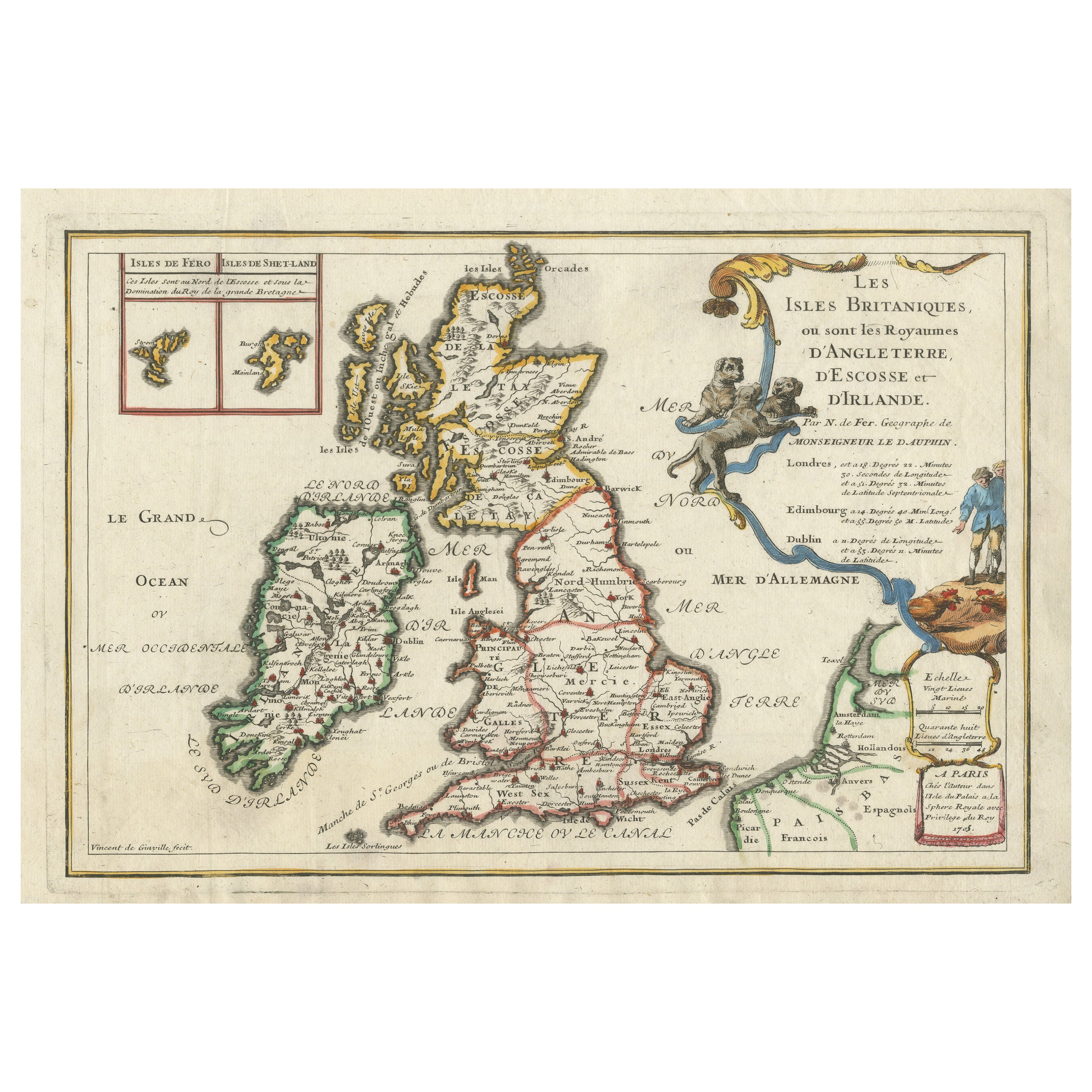
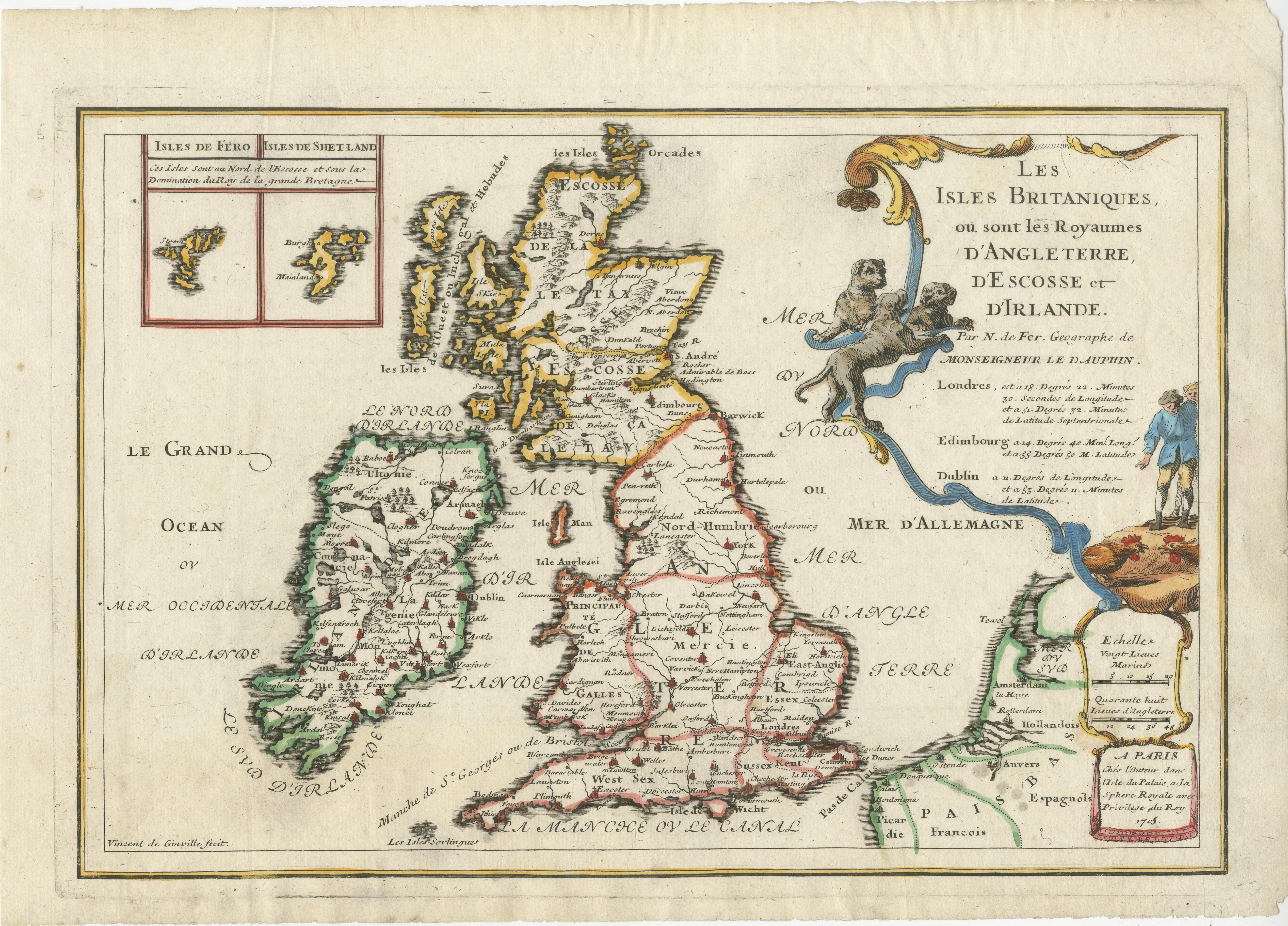
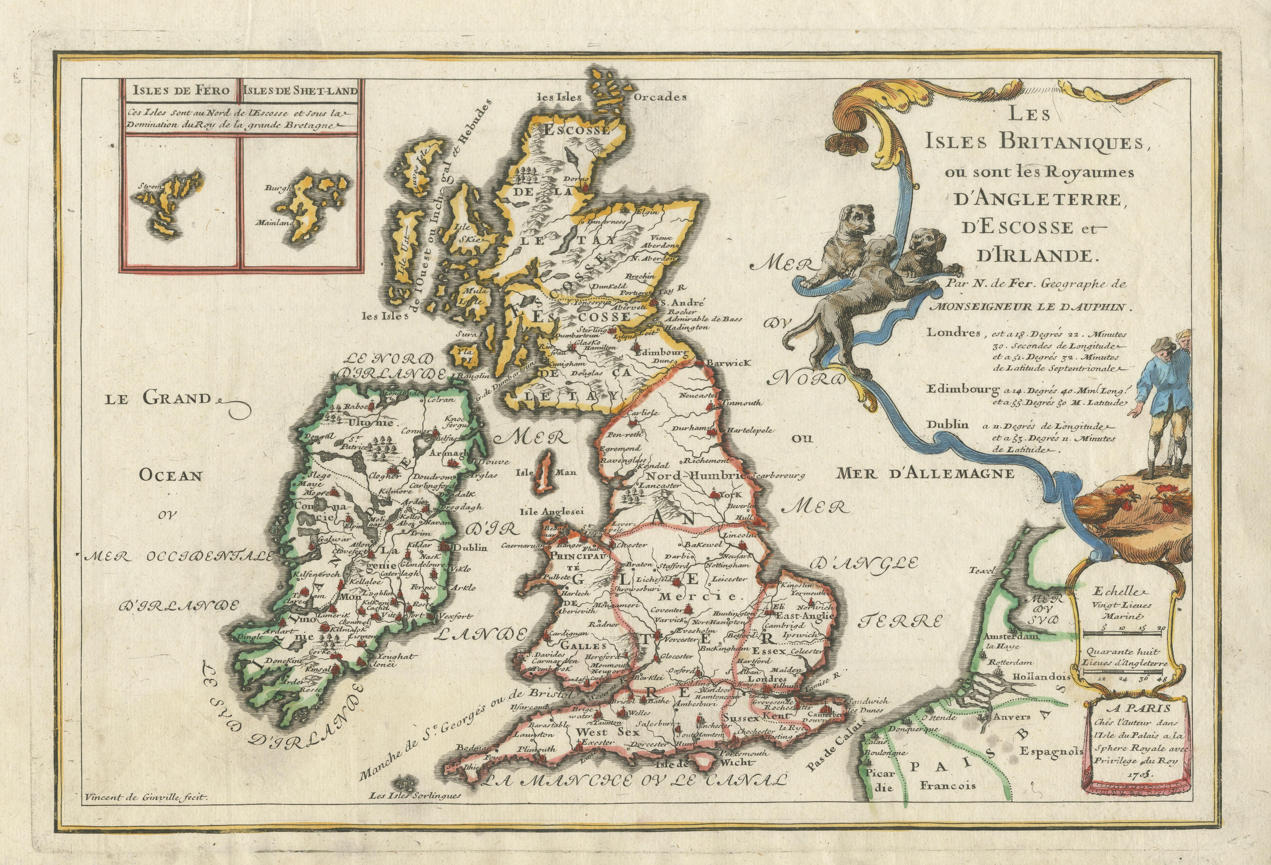
Old Map of the British Isles with the Faroes and Shetlands, Showing Cock Fights

€ 460

One of a kind: this is the sheet in the photographs. Ships from Langweer, the Netherlands.

Sheet size
26.3 × 37 cm (10.4 × 14.6 in)
Condition
Good
Reference
BG-13396-17

Condition

General age-related toning. Minor wear and soiling. Blank verso. Please study image carefully.
About this sheet

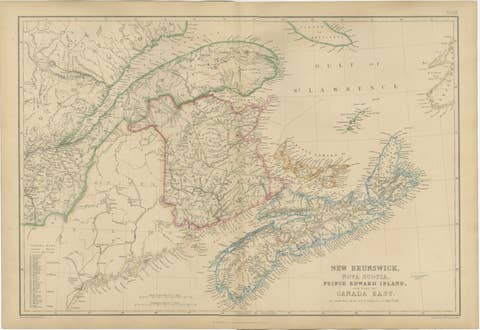
Antique map titled 'Les Isles Britaniques ou sont les Royaumes d'Angleterre (..)'. Original old map of the British Isles with inset maps of the Faroes and Shetlands. The title cartouche depicts dog-fighting and cock-fighting, the French perception of the English pastimes. This map originates from 'l'Atlas Curieux ou le Monde reprsent dans ces Cartes Gnrales et Particulires du Ciel et de la Terre' by N. de Fer, 1705.

More from United Kingdom & Ireland

Ask about this sheet

Old Map of the British Isles with the Faroes and Shetlands, Showing Cock Fights
Ref. BG-13396-17 · € 460
We reply by email, usually within one working day.