Maps & PrintsBartele Gallery · Langweer
Home / Antique Maps / Europe / Western Europe / United Kingdom & Ireland

United Kingdom & Ireland · 17th century

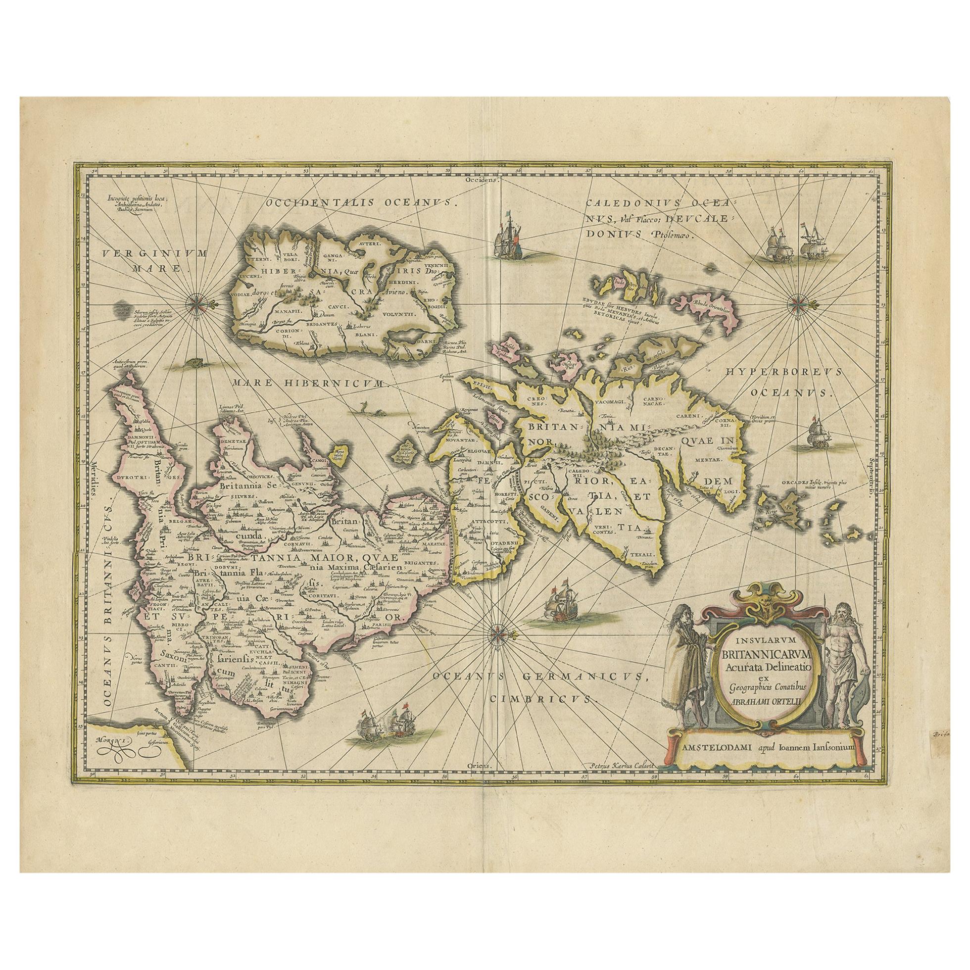
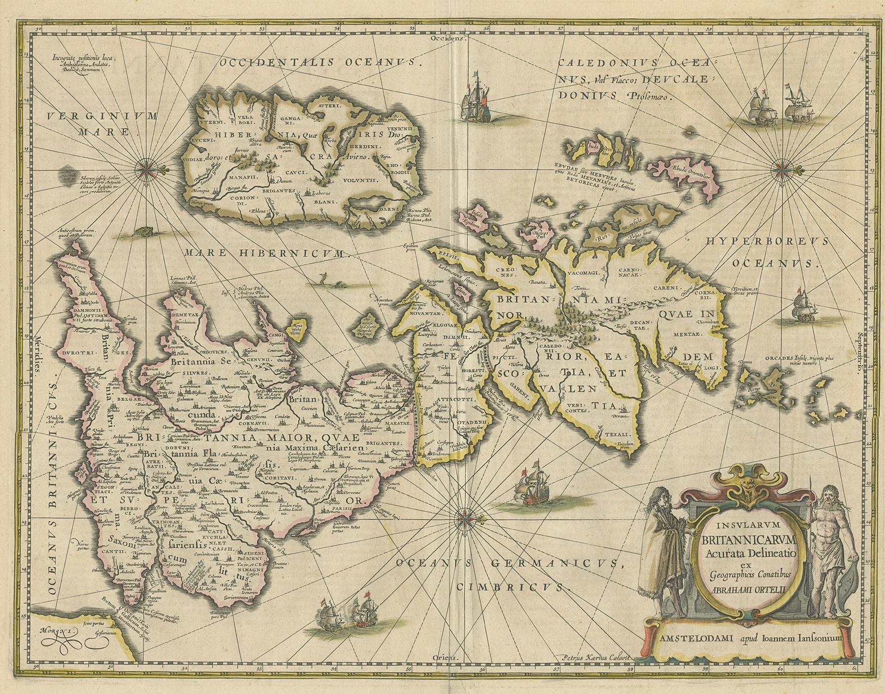
Antique Map of the Ancient British Isles by Janssonius, circa 1640

€ 950

One of a kind: this is the sheet in the photographs. Ships from Langweer, the Netherlands.

Date
1640
Technique
Engraved
Sheet size
50.5 × 59 cm (19.9 × 23.2 in)
Condition
Good
Reference
BG-12705-15

Condition

Original folding line and original/contemporary hand coloring. General age-related toning, minor wear. Latin text on verso. Please study images carefully.
About this sheet

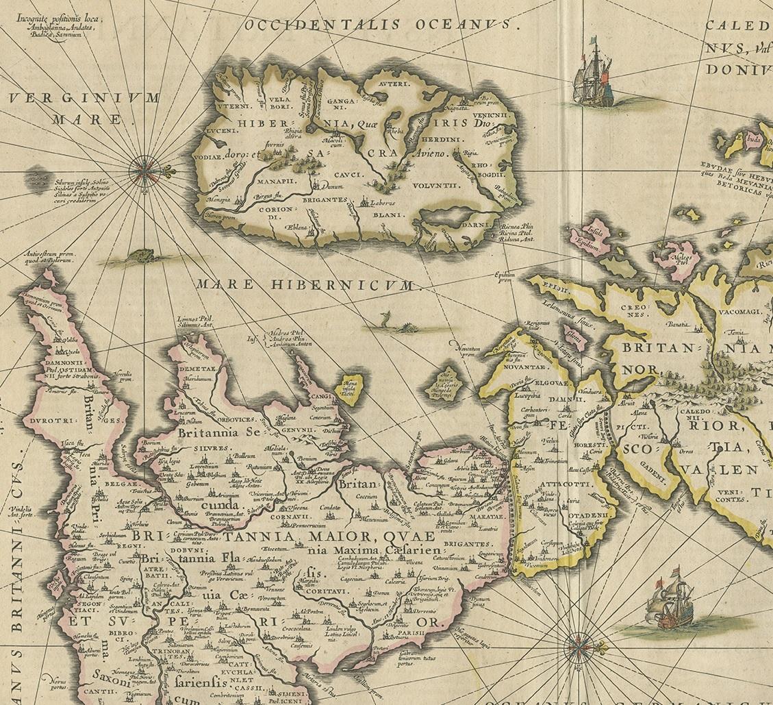
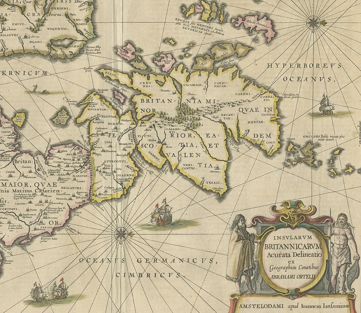
Antique map titled 'Insularum Britannicarum Acurata Delineatio'. Original antique map of the ancient British Isles. England and Wales are labelled as Britannia Superior, and further divided into the later Roman provinces of Prima (the South), Secunda (Wales), Flavia Caesariensis (the Midlands), and Maxima Caesariensis (the North). Scotland is labelled using both its early and later Roman titles, as Britannia Inferior and the province of Valentia. Hibernia (Ireland), the Orcades, and the Hebrides are also labelled. Principal cities and towns are picked out in red, as are the two Roman era walls built by Hadrian and Antoninus Pius, here labelled as Severan. Published by J. Janssonius, engraved by P. Kaerius.

More from United Kingdom & Ireland

Ask about this sheet

Antique Map of the Ancient British Isles by Janssonius, circa 1640
1640 · Ref. BG-12705-15 · € 950
We reply by email, usually within one working day.