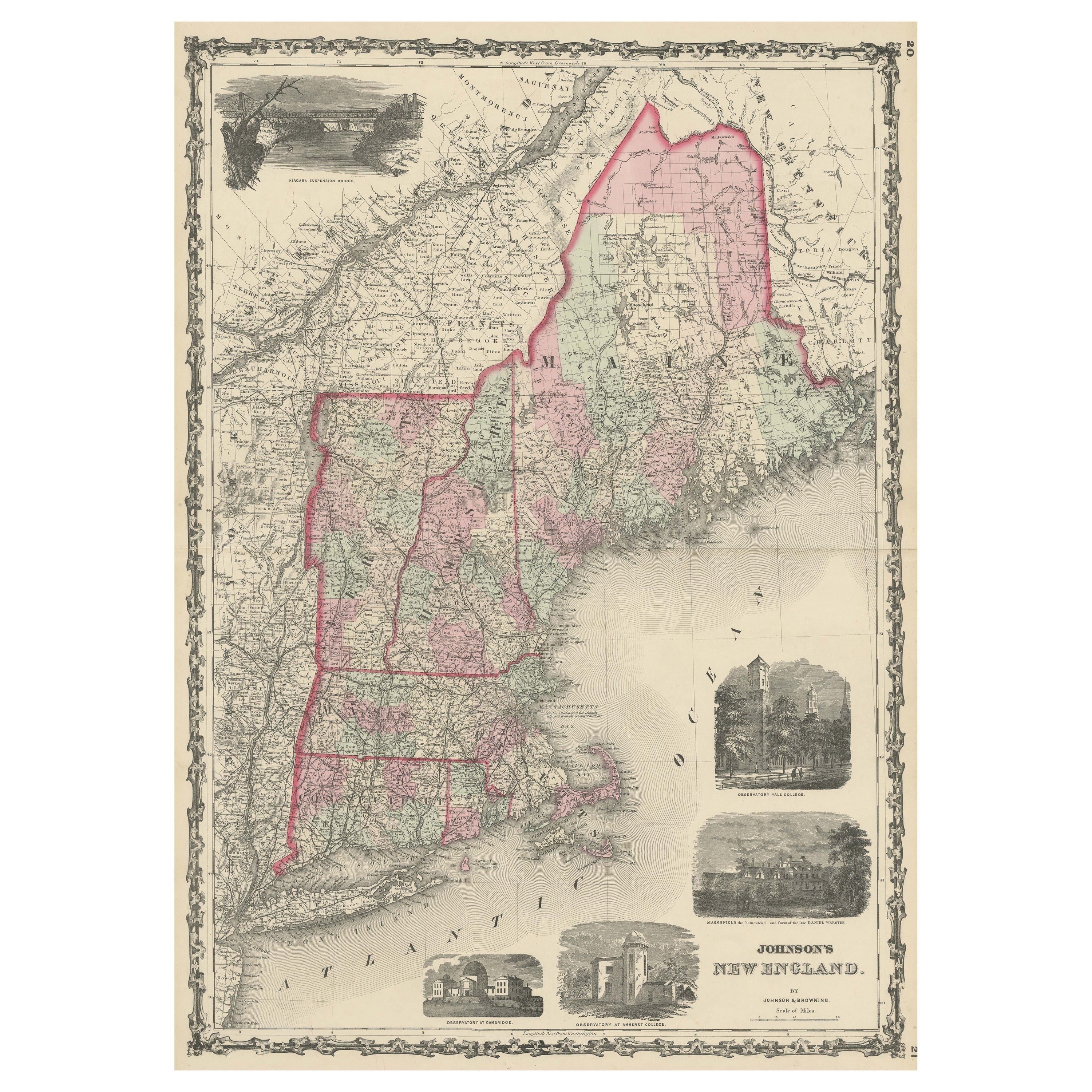

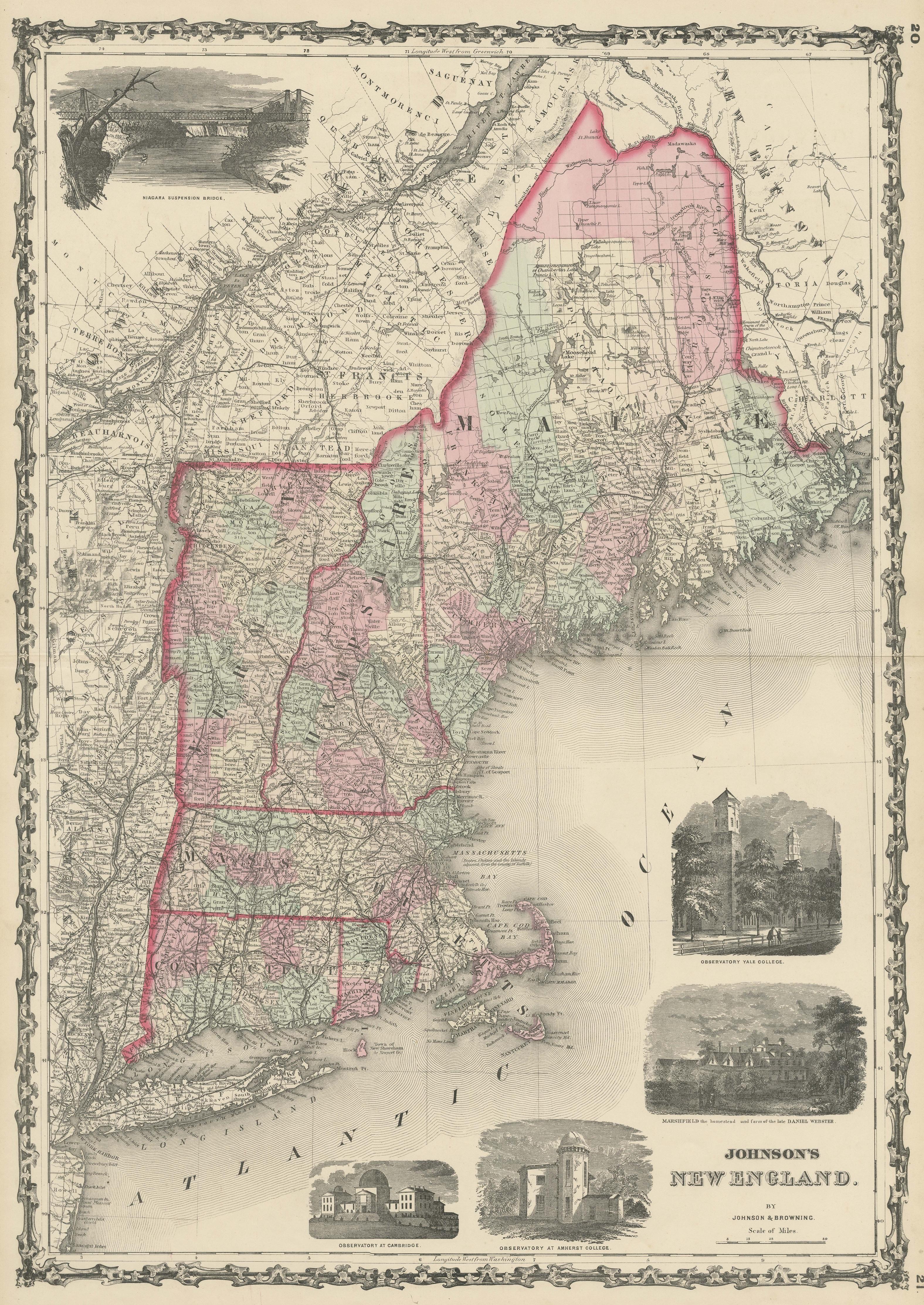
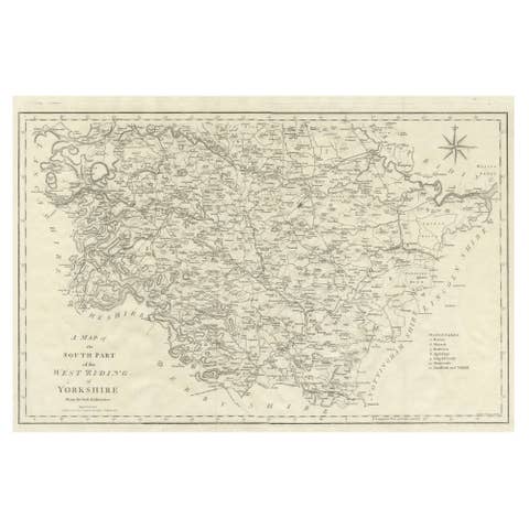
Large Antique Map of New England with decorative Vignettes
€ 390
One of a kind: this is the sheet in the photographs. Ships from Langweer, the Netherlands.
Sheet size
67.5 × 46 cm (26.6 × 18.1 in)
Condition
Good
Reference
BG-13560
Condition
General age-related toning. Original folding line. Minor wear and soiling, blank verso. Please study image carefully.
About this sheet
Antique map titled 'Johnson's New England'. Large map of New England, comprising the states Connecticut, Maine, Massachusetts, New Hampshire, Rhode Island, and Vermont. Complimented by several vignettes for the Niagara suspension bridge, several observatories at Yale, Amherst and Cambridge, as well as the onetime home of Daniel Webster. Published by Johnson and Browning, 1861.
The Johnson company was one of the better American mapmakers of the 19th century, and were known for keeping current with all the changes that were occurring.